Notwithstanding the staggering irony of lecturing others on the importance of strong datasets and need to consider the complexity of context, I would agree it is important to avoid generalisations and find evidence, although this effort seems to be entirely obfuscatory. @BowesLTN https://twitter.com/simonstill/status/1326898147176685569
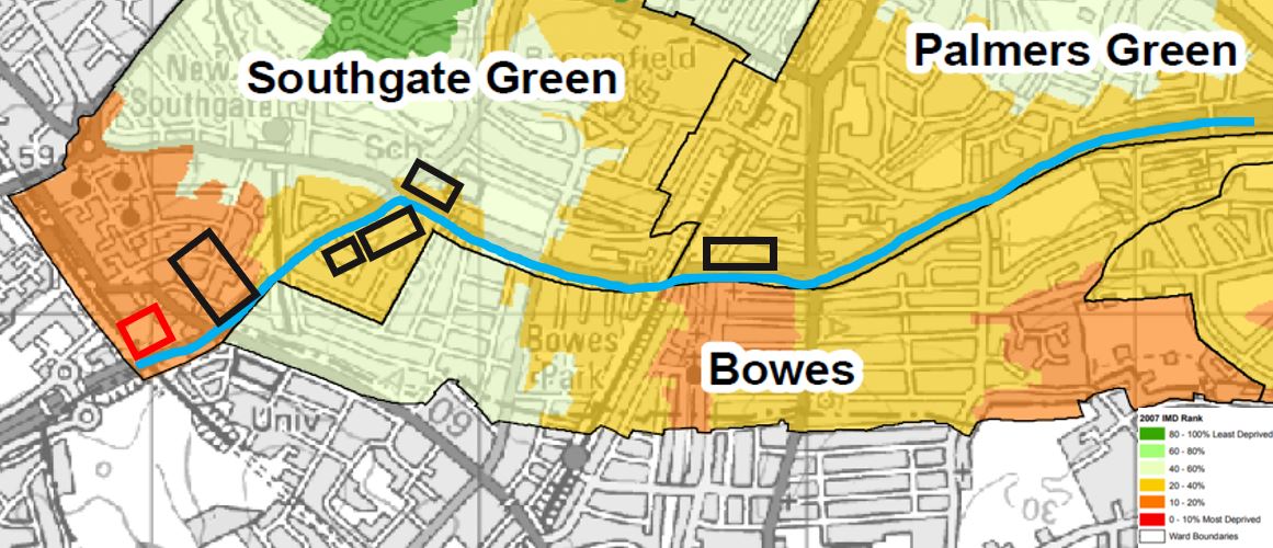
Here's IDACI data for Enfield - this one shows #BowesLTN. The blue line is the A406 which is where traffic is being deliberately relocated by the scheme, away from the relatively more advantaged areas. /.2
The data is from 2007. I can't find any that's more recent, which is a shame as there has been a large amount of housing built since then (shown by the black boxes), much of which is social, and there are 2 more high rises are on the way (red box). /.3
If you know the area it is indisputable that #BowesLTN is socially regressive and unjust. If you don't you could come and see for yourselves. Or have a look on google maps. Or maybe, if we're lucky, @Ediz1975 will make a video for all to see. /.4
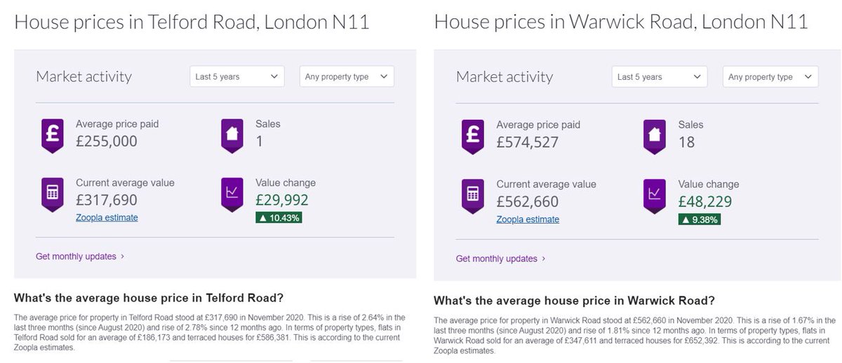
This can be used as further evidence. It's obviously limited, and it also underplays the extent of the situation, given how much of the housing is not privately owned and therefore cannot be captured in this way. /.5
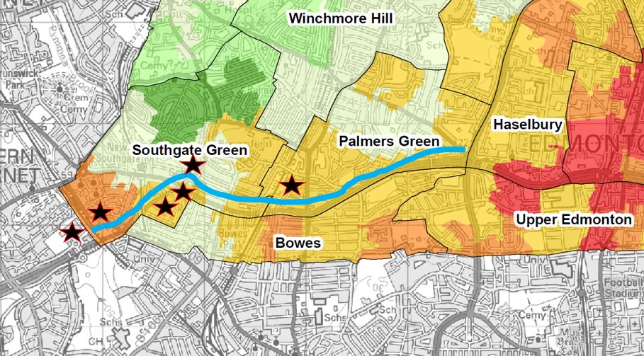
The IDACI data is available via the link below. For those interested here's a map that includes the wider area including #FoxLaneLTN which also unfairly benefits the advantaged (the stars show the new builds). /.6
https://governance.enfield.gov.uk/mgConvert2PDF.asp?ID=13009
https://governance.enfield.gov.uk/mgConvert2PDF.asp?ID=13009

 Read on Twitter


