Spotted this lovely plan from 1869 of Leazes Park and the Town Moor, courtesy of @ToonLibraries. Let's take a closer look...
Here's the top left. Cow Hill is roughly at the site of the A167 junction with Grandstand Rd, and once the site of a Toll House to Coxlodge. Cowgate windmill and a couple cottages are also illustrated, as seen here. Spot the little pond as well which existed decades after!
The top right has some lovely features, including the origins of @Exhibition_Park and the outlines of the original Newcastle Racecourse including the grandstand. Blue House still stands at the roundabout, and once housed those employed by the Freemen of Newcastle.
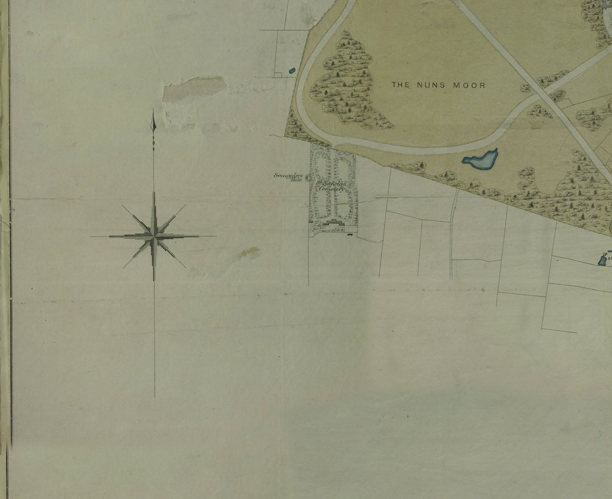
The bottom left illustrates Nuns Moor and 'Smugglers Hole', a former mine shaft within the vicinity of St Nicholas' Cemetery. A makeshift distillery was found there in 1822. @TyneSnapper writes about it here all the way back in 2005! https://uk.local.geordie.narkive.com/a9ZYiXd9/smugglers-hole-fenham
And here is the overall plan of Leazes Park, featuring a proposed Cricket Ground (not far off a similar plan not long ago http://stadiumdb.com/designs/eng/leazes_park) and Spital Tongues Colliery which was the origin of the @Victoria_Tunnel. Gallowgate and Strawberry Place feature..

 Read on Twitter


