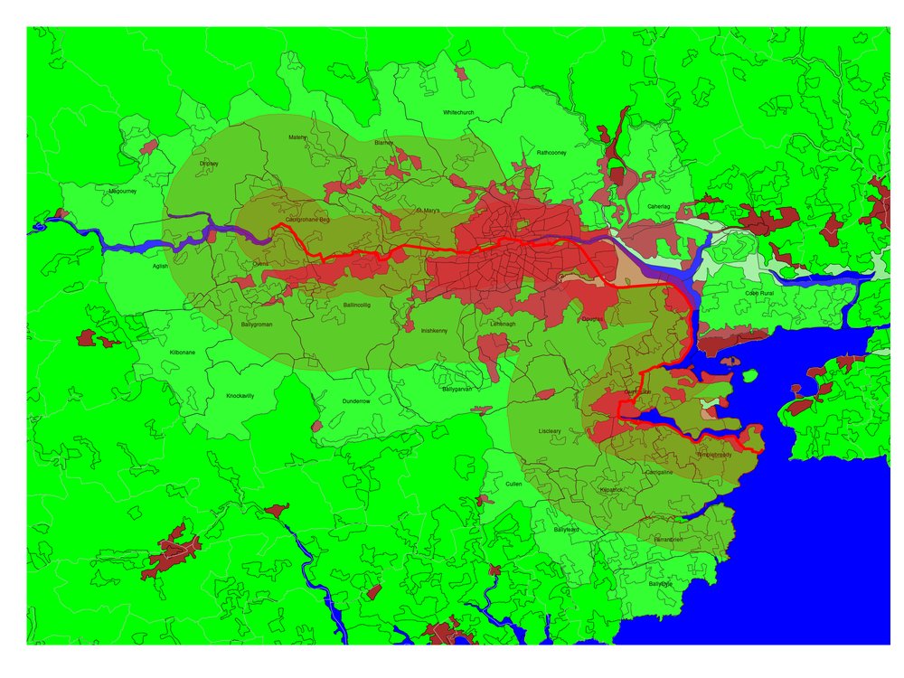
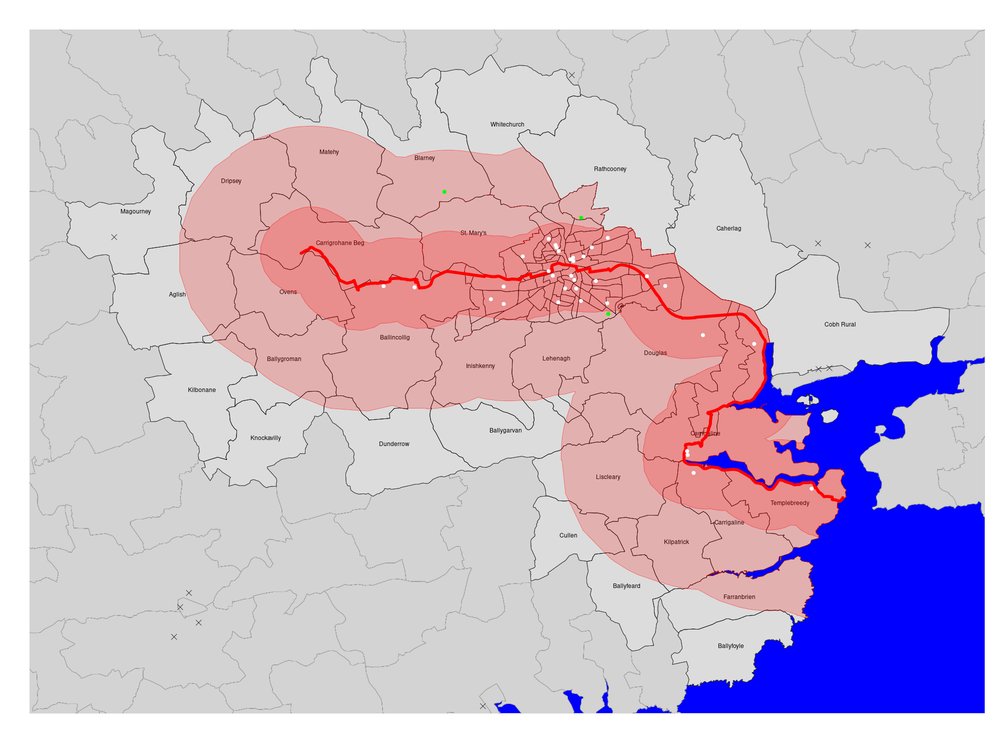
"15 minutes from the Lee-to-Sea Greenway" - new blog post assessing the catchment population on foot or cycle to the proposed @lee2sea Greenway, including school pupil counts:
https://wordpress.stuartneilson.com/15-minutes-from-the-lee-to-sea-greenway
https://wordpress.stuartneilson.com/15-minutes-from-the-lee-to-sea-greenway
The Lee to Sea route provides 46 km of mixed woodland, lake, river and seaside greenway, with an elevation range of just 45 m. 157,000 people live within 2 km of the route and 229,000 within 6 km of the route – most people could walk or cycle from home within 15 minutes.
34 schools with a total of 16,072 pupils lie within 2 km of the Lee to Sea route, and further 3 schools (Scoil Mhuire, St Aidan’s Community College and Douglas Community School, with a further 1,711 pupils) lie within 6 km of the route. That is 37 of Cork County’s 85 secondaries.
These maps and tables were generated from freely available public data, using open source statistical and mapping software. Full links are given in the blog post: https://wordpress.stuartneilson.com/15-minutes-from-the-lee-to-sea-greenway
My annotated code (in the R statistics language) with links to all the data sources is available as a blog post: https://wordpress.stuartneilson.com/annotated-analysis-of-the-lee-to-sea-data

 Read on Twitter


