HIGHLIGHTS of Noah Henning Jacobsen's 1906 Thesis on Chicago railroad track elevation:
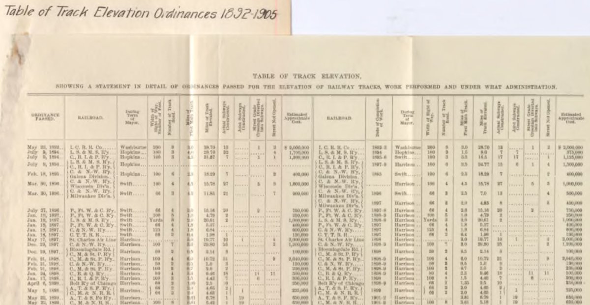
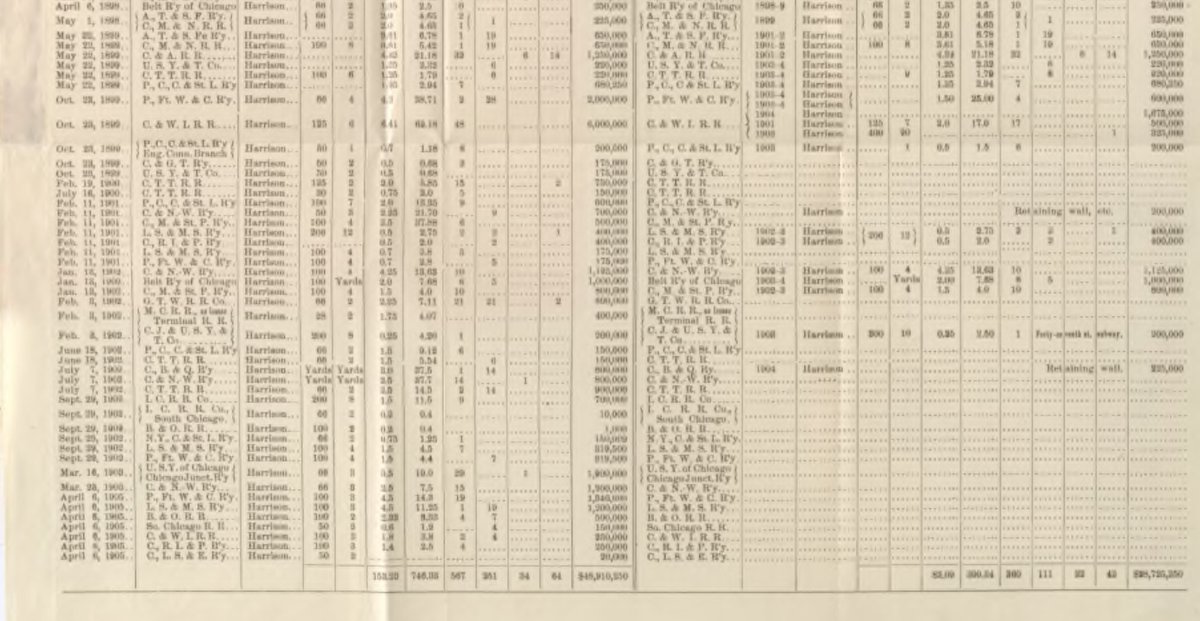
These tables of the track elevation that show the estimated cost of elevating the track, the width of the right of way, the number of tracks, the length of the corridor, etc.
1/ https://twitter.com/digital_trav/status/1361092021537173507
These tables of the track elevation that show the estimated cost of elevating the track, the width of the right of way, the number of tracks, the length of the corridor, etc.
1/ https://twitter.com/digital_trav/status/1361092021537173507
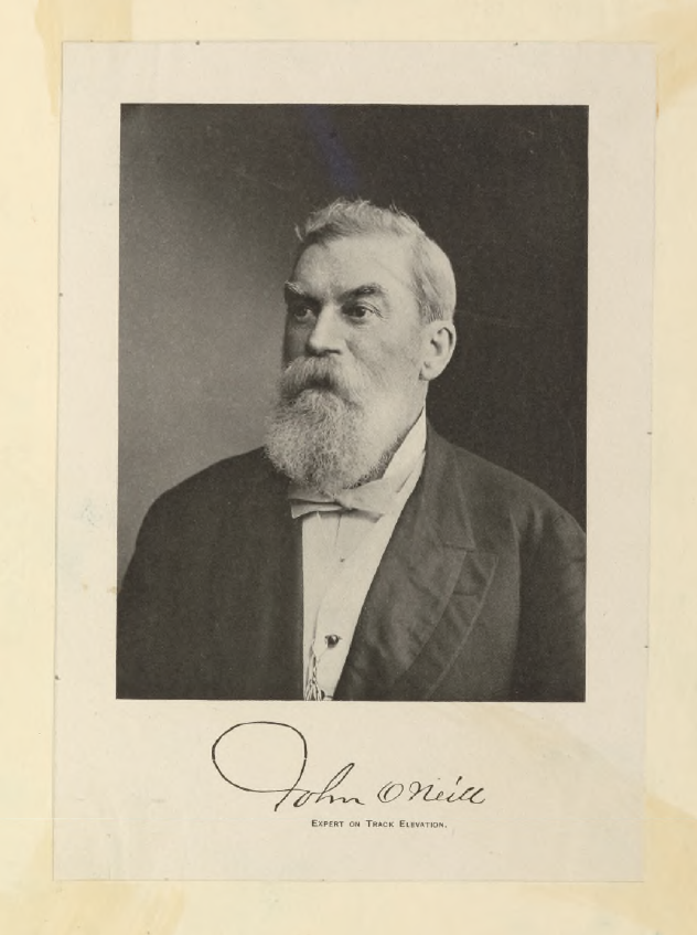
John O'Neill, Superintendent of Track Elevation for the City of Chicago, was known at the turn of the century as the "Father of Track Elevation"
2/
2/
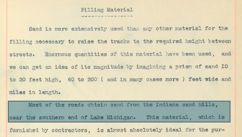
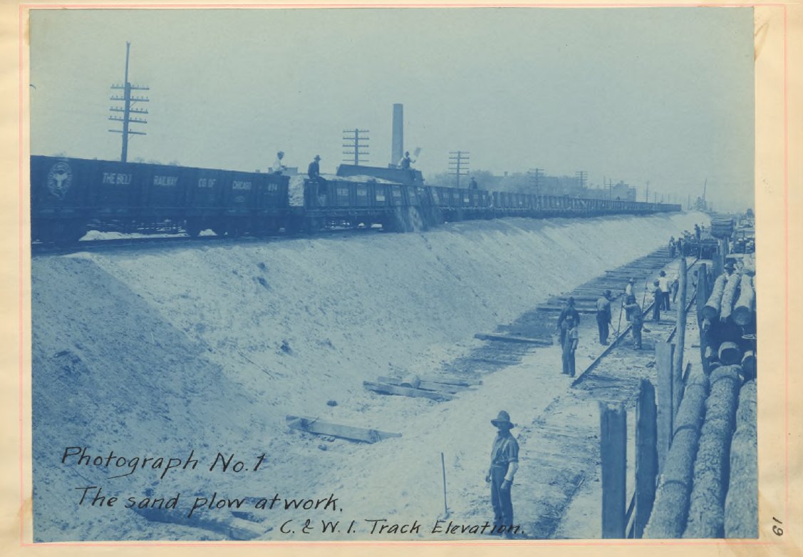
I feel a bit guilty about our network of train viaducts now that I found out that they are as responsible as the steel companies for decimating most of the Indiana Sand Dunes. Dredging canals & shipping routes must have produced clay or clay/sand mixtures that were less ideal.
3/
3/
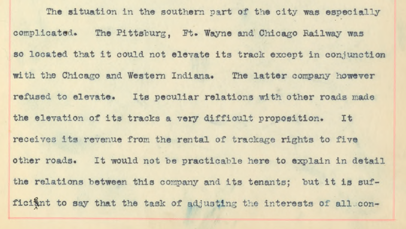
The Chicago & Western Indiana railway basically held hostage the elevation of 5 different railways that either shared track with them or intersected them. The city created an artificial flagman bottleneck to ultimately bring them to the table.
4/
4/
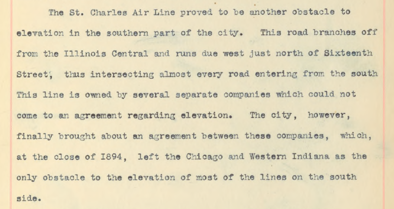
The multiple owners of the St. Charles Air Line made it difficult to come to an elevation agreement, & the fact that it intersected every rail line that entered the city from the south meant that it became a (rail)roadblock for elevated a lot of rail lines.
5/
5/
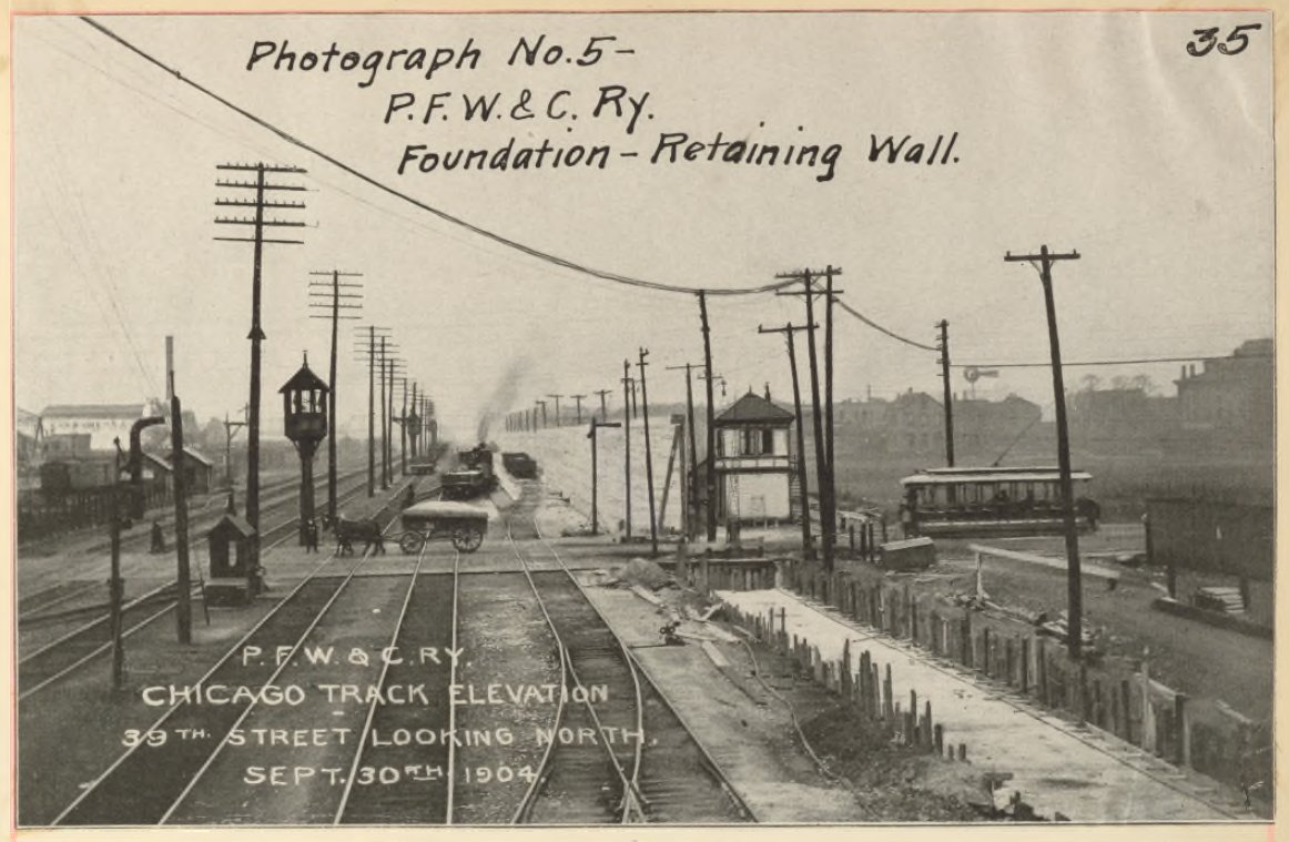
A new innovation that occurred to speed up the process of building the embankments were rail cars w/ pivoting side walls. In the photo below you can see how the sand is starting to escape as it was opened. This allowed the sand to be dumped from an already elevated track.
6/
6/
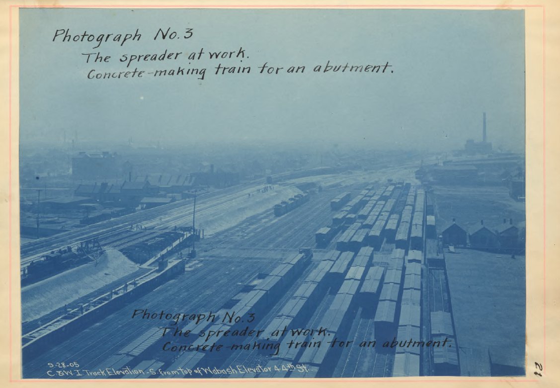
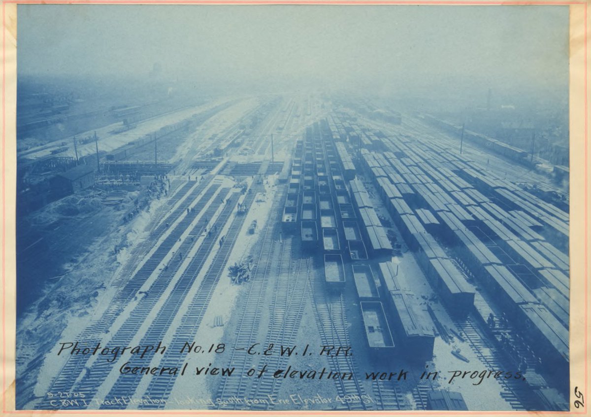
Then a sort of plow train would come in to spread what had been dumped in order to make a flat surface. You can see it in the bottom left hand corner of this photo. The elevated portion stretching on the far side of the yard.
7/
7/
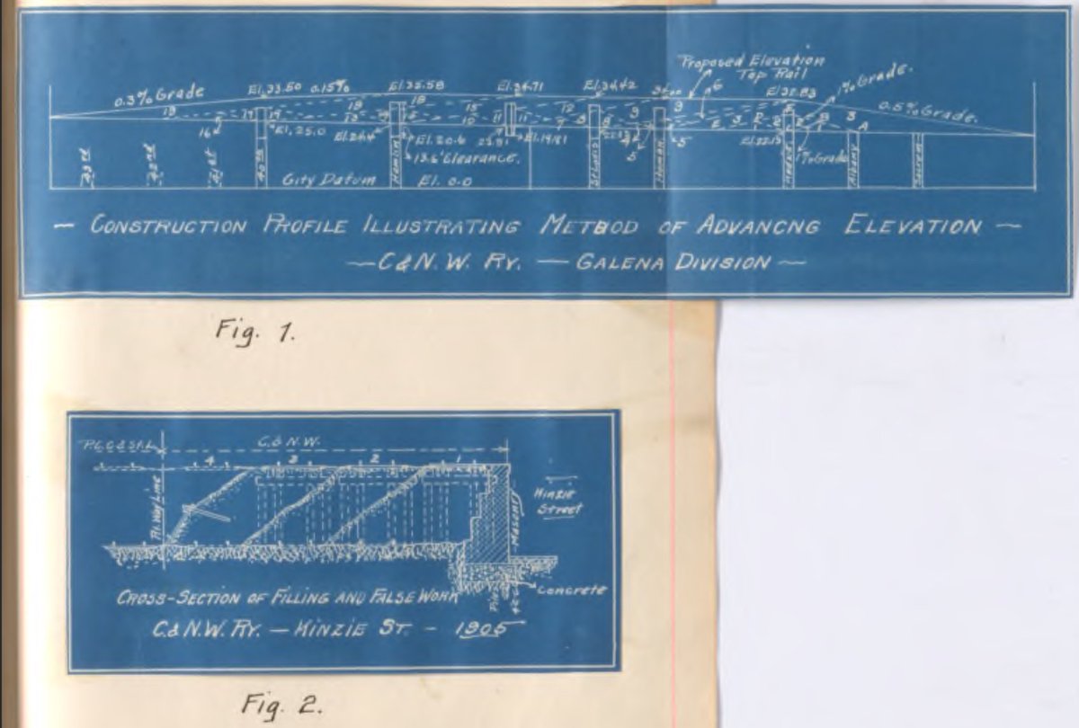
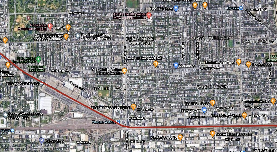
Diagrams of the Chicago & Northwest RR Galena Division track elevation project. Which is approximately the line in red on the aerial map below. You can see on cross section diagram how the northernmost track would be built 1st w/ each additional track to the south backfilled.
8/
8/
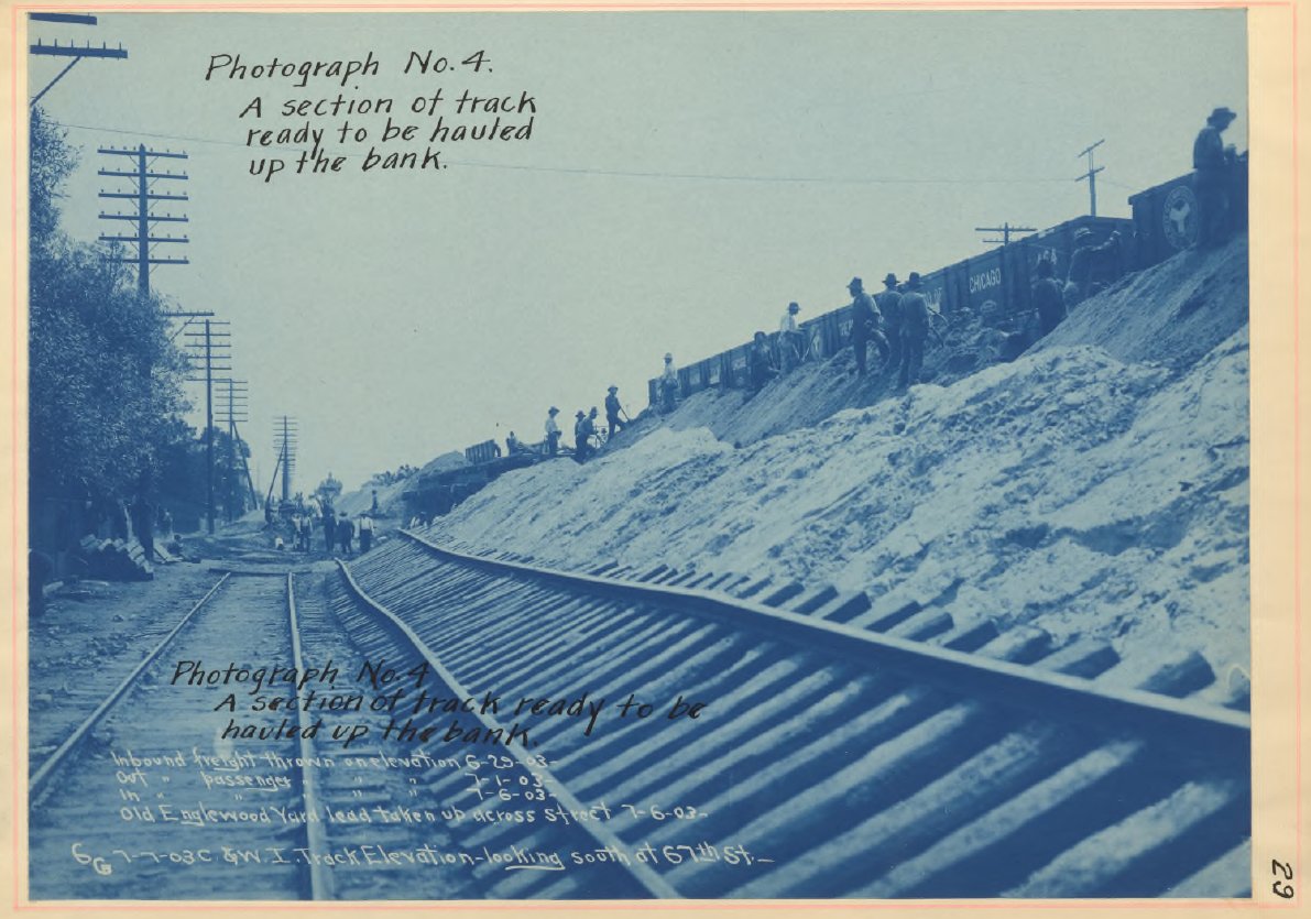
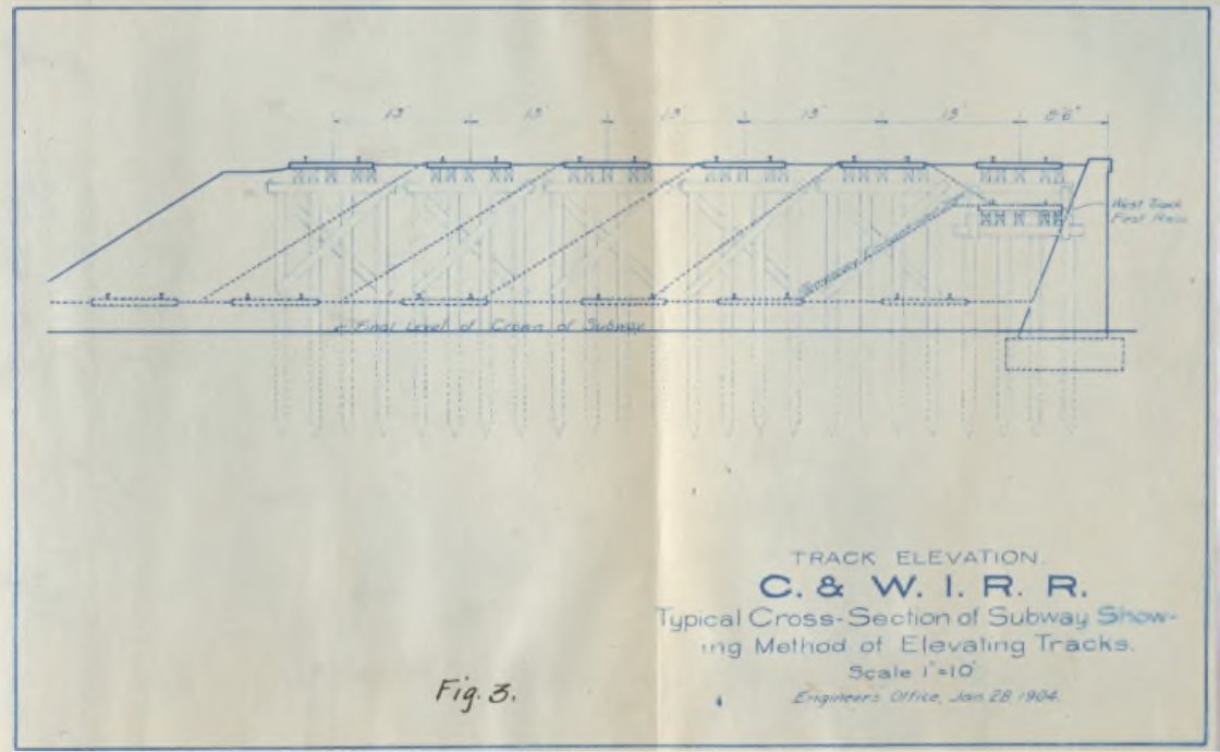
Once enough sand was filled and leveled to make room for the next track, then the track would be assembled at the base of the slope and hauled up into place. Another diagram showing how this progressed & reinforcing used. 9/
1st image is cross sections.
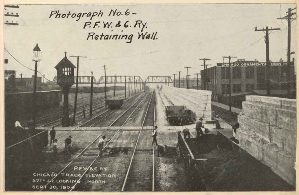
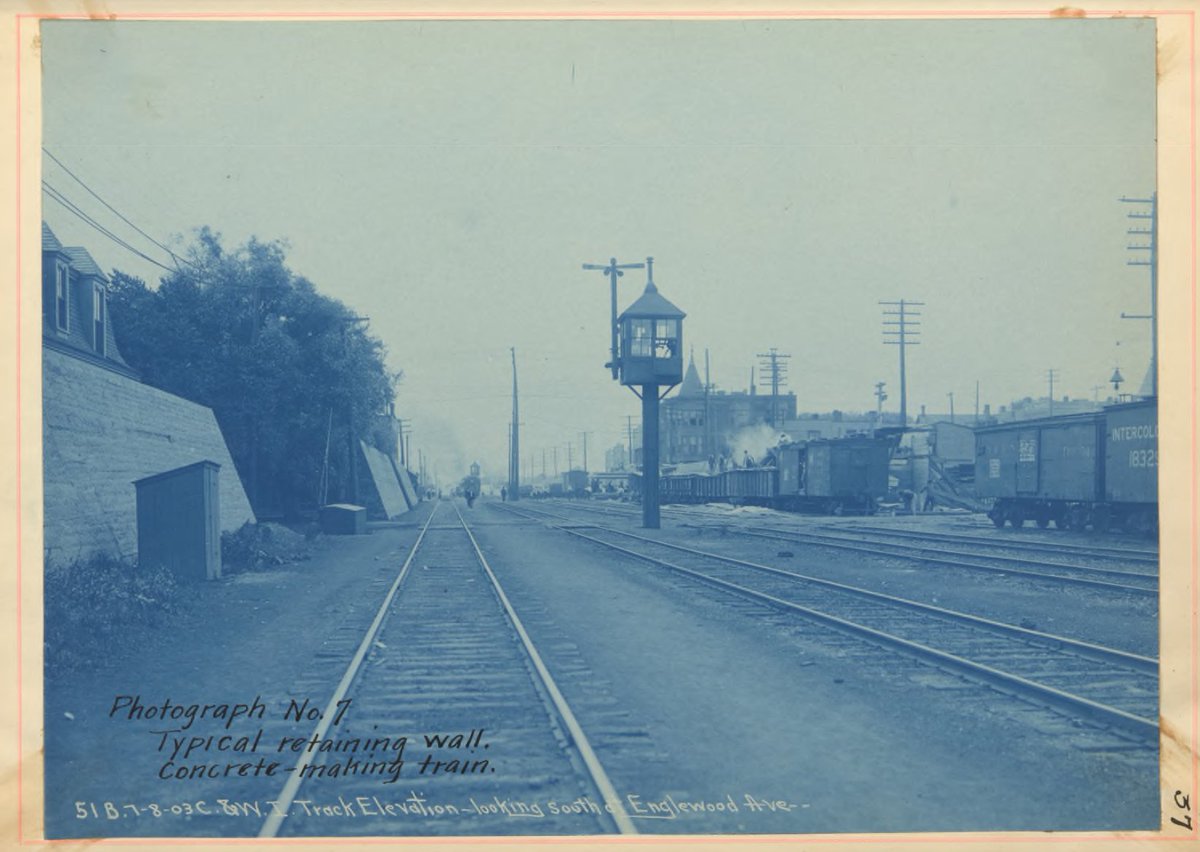
At first I thought these were before & after shots. Then I realized that the air pollution was so bad that the bridge in the 3rd photo is actually hazy in the distance of the 2nd photo.
Freight electrification has been a long time coming people.
10/
At first I thought these were before & after shots. Then I realized that the air pollution was so bad that the bridge in the 3rd photo is actually hazy in the distance of the 2nd photo.
Freight electrification has been a long time coming people.
10/
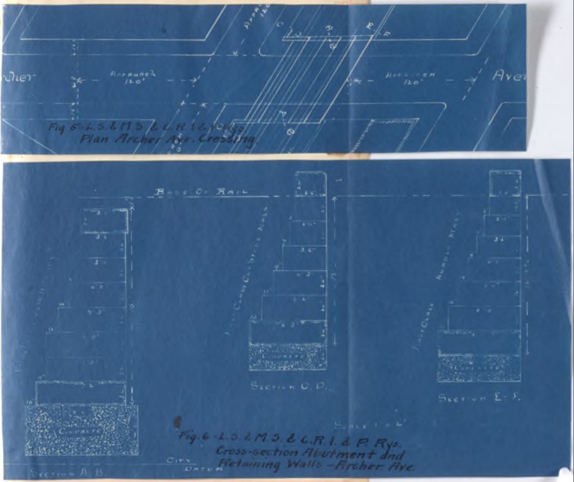
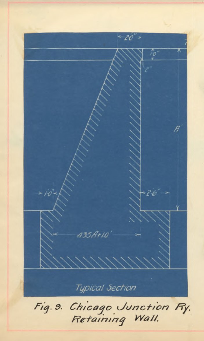
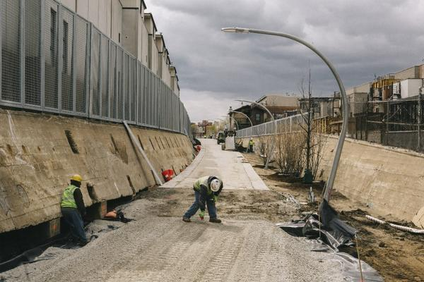
Some railroads used sloped retaining walls instead of stepped retaining walls. Which frequent users of the Bloomingdale Trail will recognize as the chosen retaining wall type for that portion of viaduct. Which becomes visible every time the trail dips down for an entrance.
11/
11/
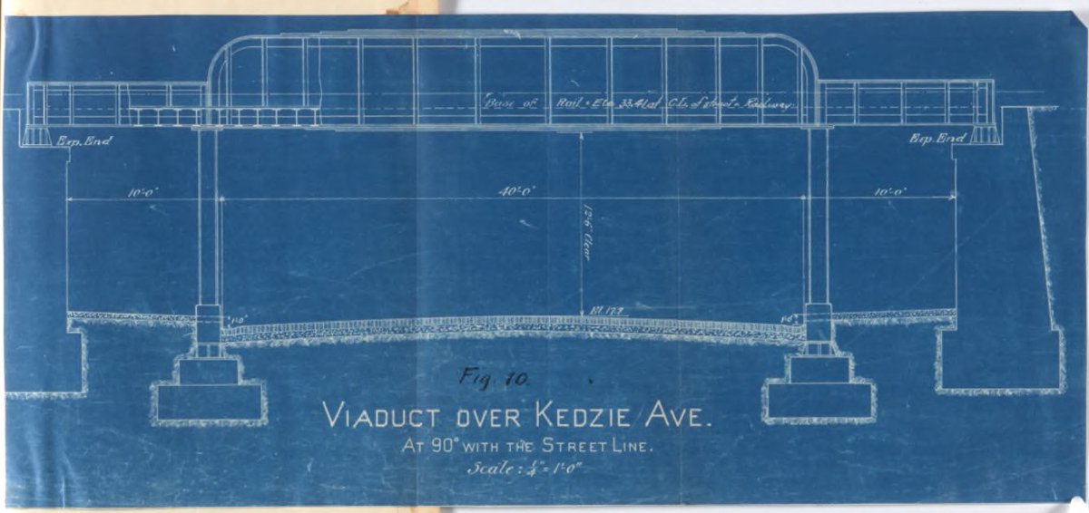
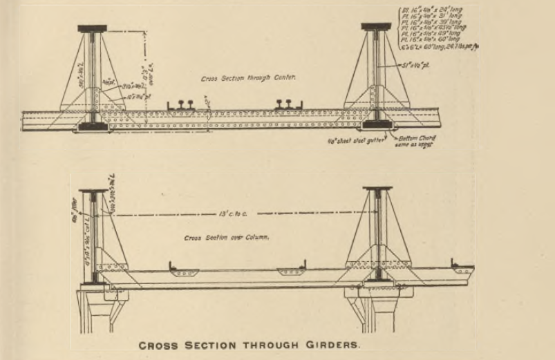
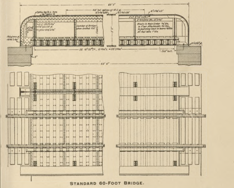
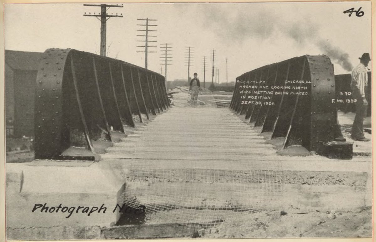
The bridge section is less interesting bc these are so commonplace to Chicagoans. However, it was enlightening to see exactly why these bridge types were used, since this typ. design is largely why it is so hard to fit safe bike lanes out of the roadway at rail viaducts.
12/
12/
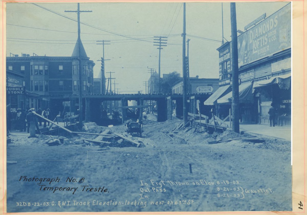
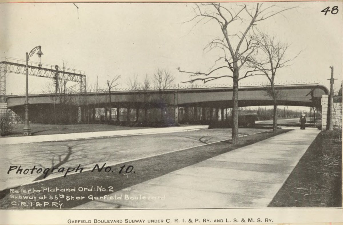
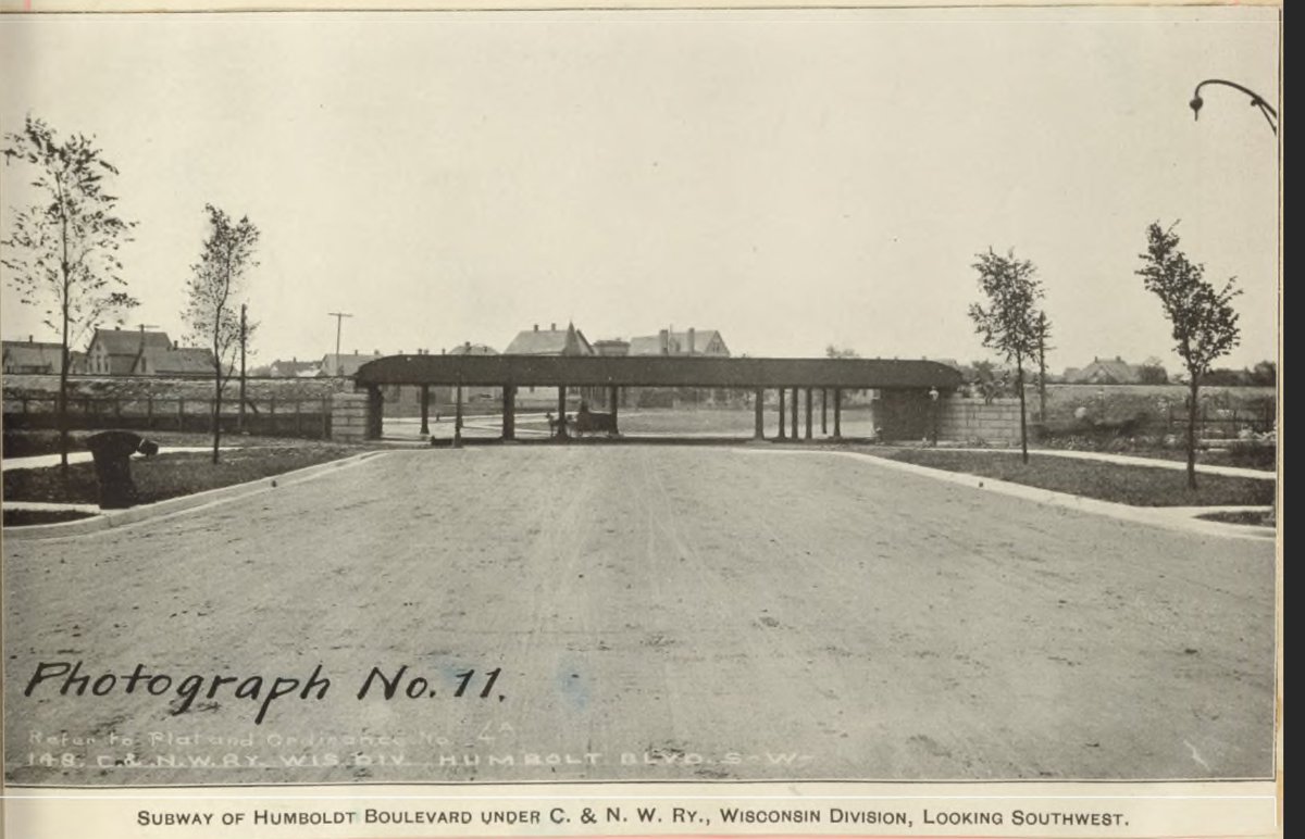
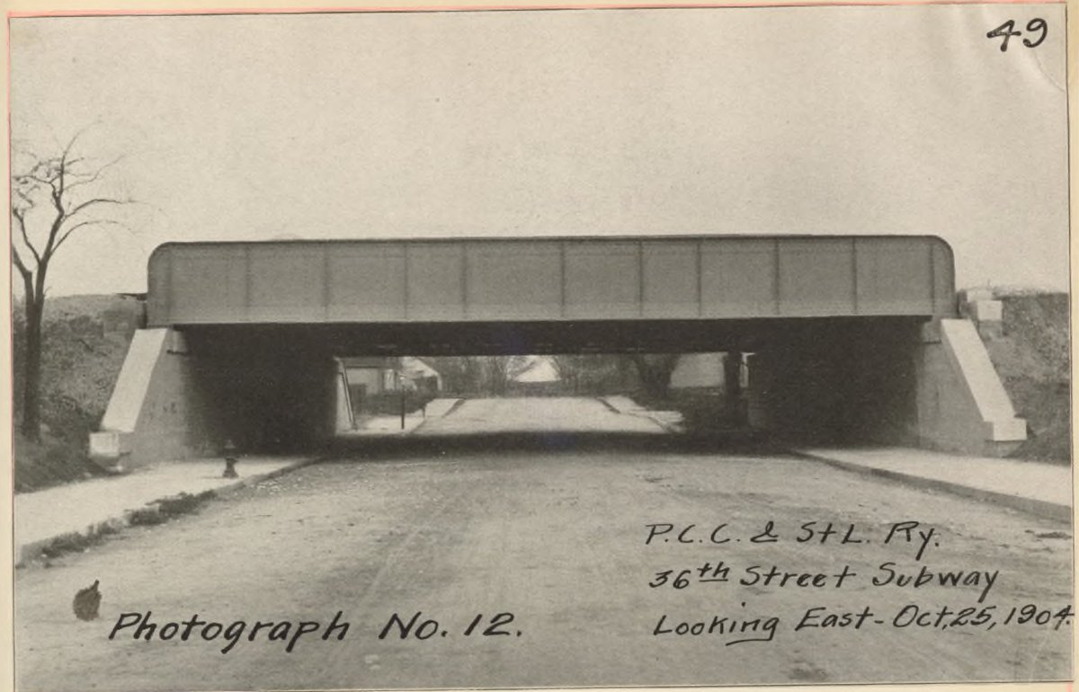
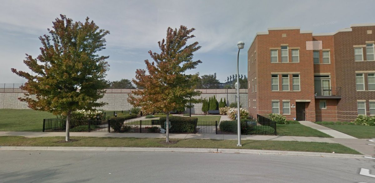
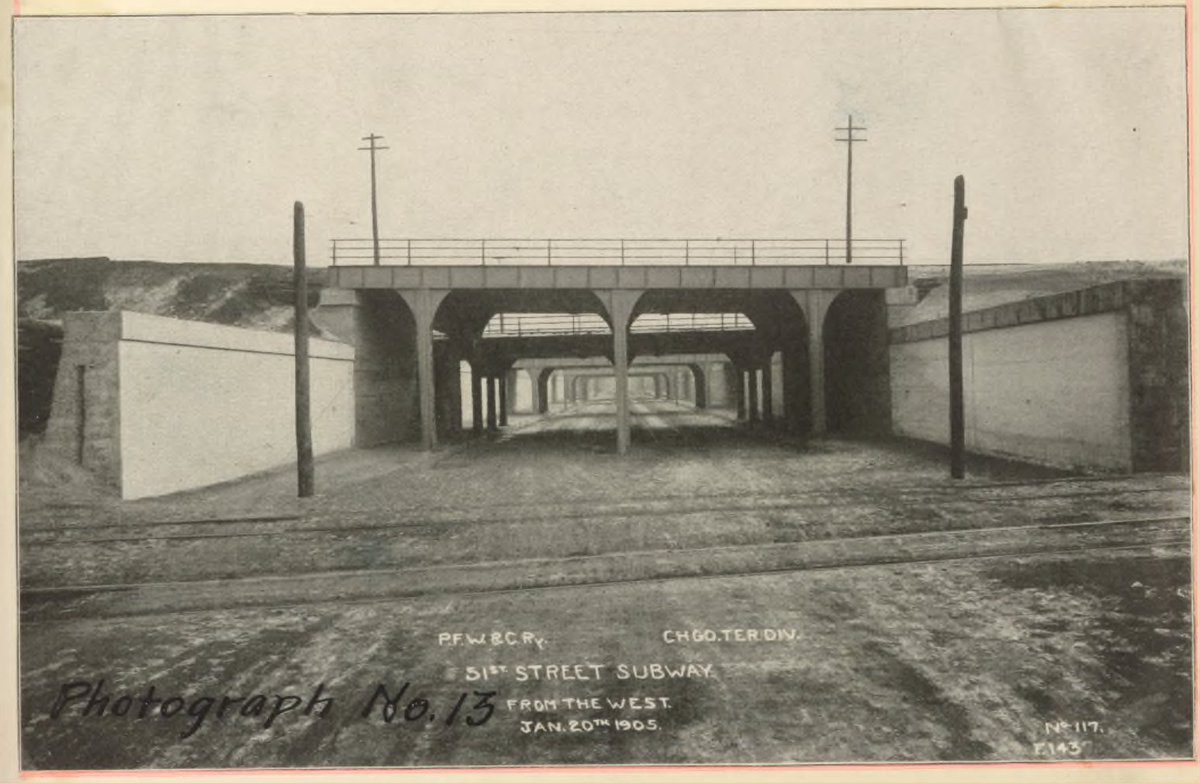
It's funny that at the time the streets under the viaducts were referred to as "Subways". I think this is the location of that long since replaced bridge.
I cannot get over how much sidewalk & planting space has been systematically replaced by ever wider roads.
14/
I cannot get over how much sidewalk & planting space has been systematically replaced by ever wider roads.
14/
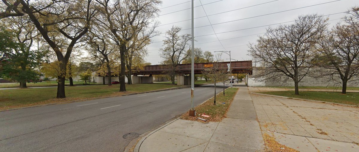
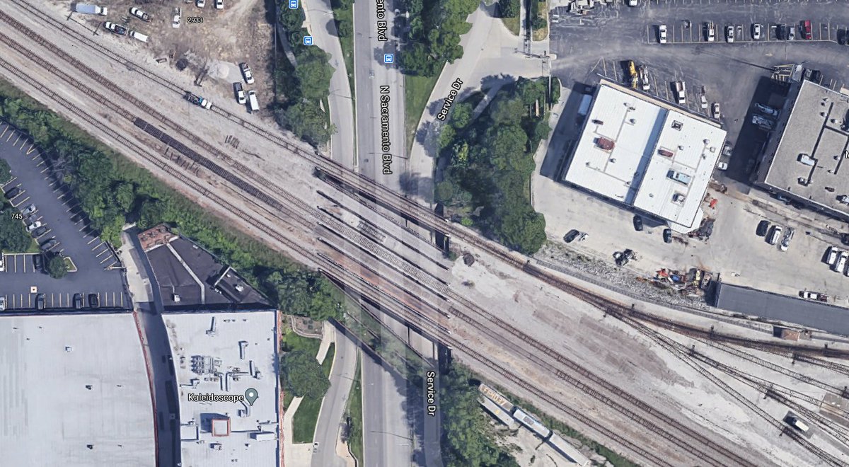
I am having trouble figuring out which of the 3 separate Chicago & Northwestern trestles that cross over Sacramento (then Humboldt Blvd). I think it is the furthest south, but the houses on an angle is throwing me unless the photo was reversed & those are along Grand.
15/
15/
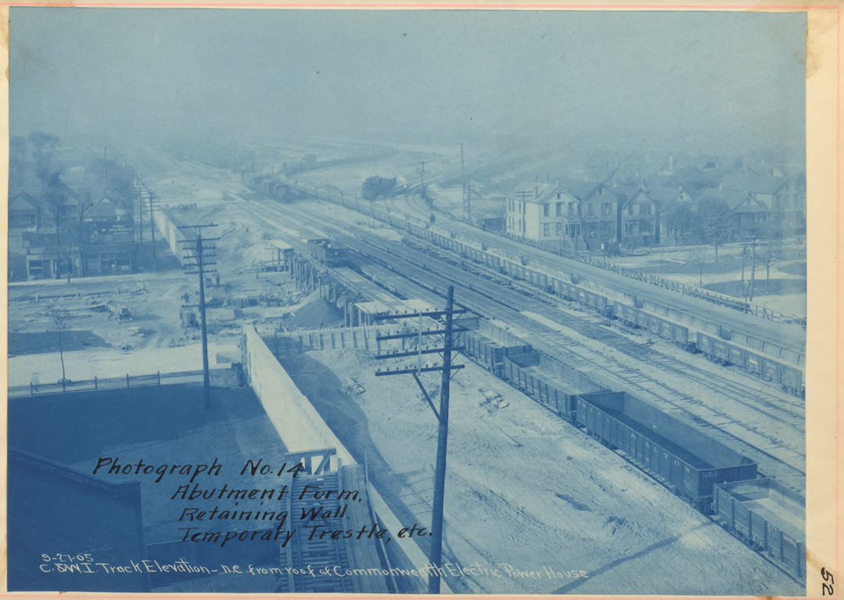
Then there are ones like this that are long gone to time, but should be in approximately this location. I wonder if they were vacated when the Dan Ryan was built & only retained where a street crossed the new highway.
Anyone know for certain?
16/
Anyone know for certain?
16/
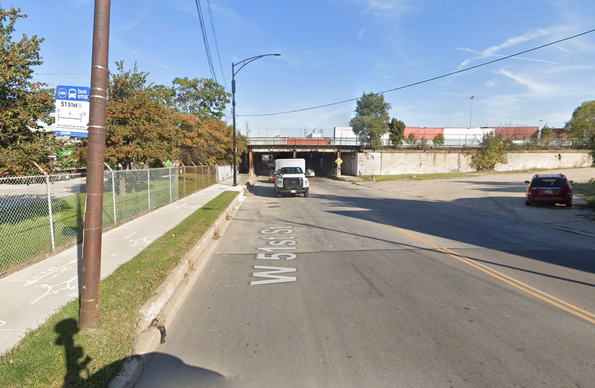
51st has been a long tunnel that actually might be worth of the "subway" moniker for more than a century.
On foot or on bike avoid at all costs, I can imagine it was even worse when all of those tracks crossed at grade tho...
17/
On foot or on bike avoid at all costs, I can imagine it was even worse when all of those tracks crossed at grade tho...
17/
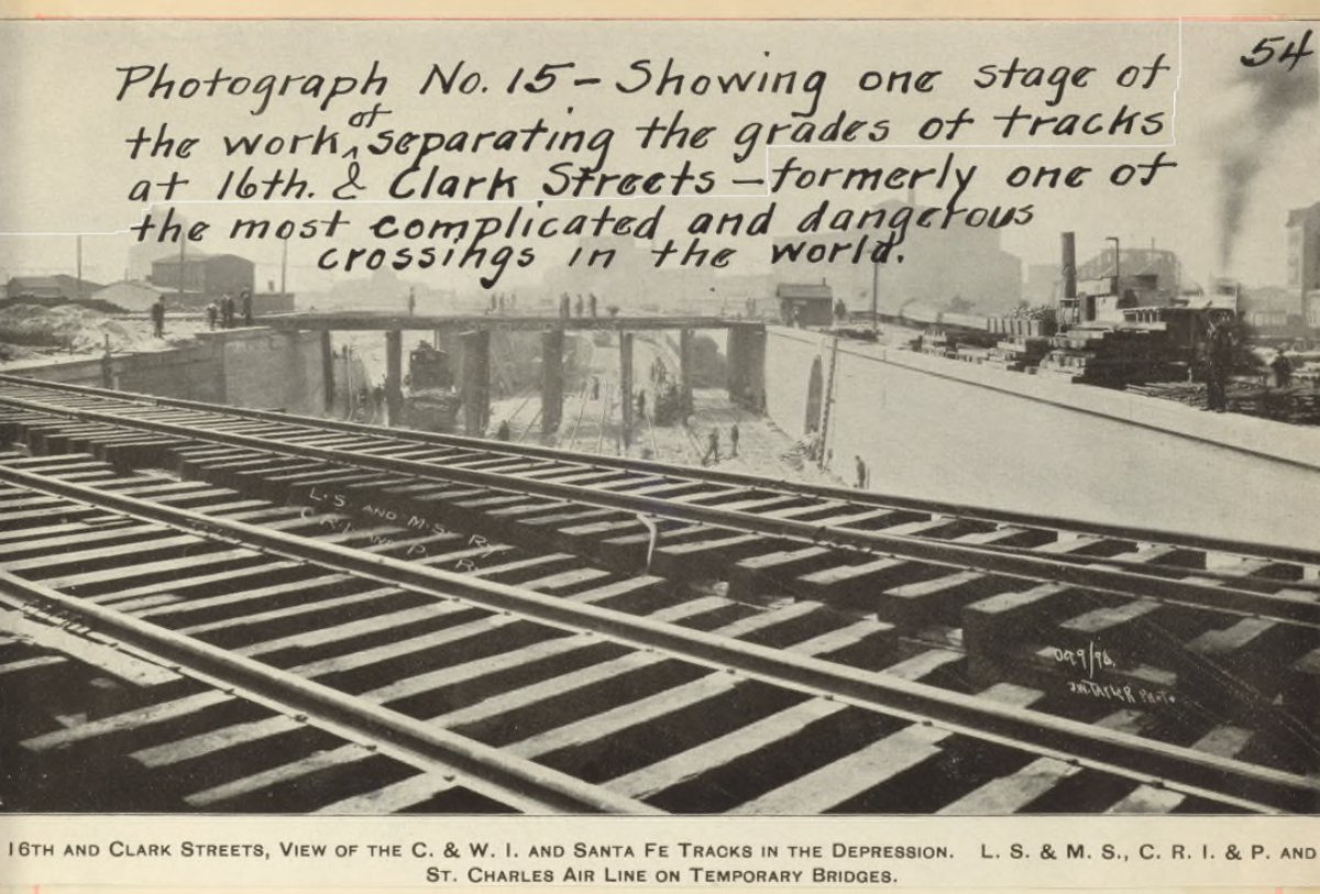
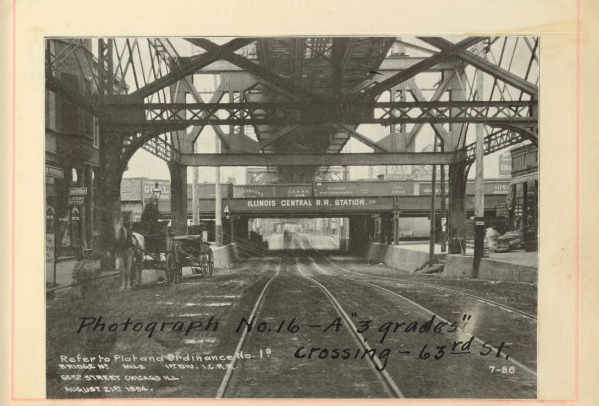
There are a bunch of photos of how grade separation led to some of the most dangerous crossings in the world getting untangled. Just makes me think of CREATE & how it is being criminally underfunded.
18/
18/
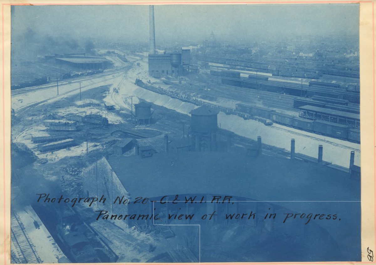
I hadn't thought about how ramps to and from existing roundhouses had to be built so that locomotives could get from the new embankments down to infrastructure that was too expensive to elevate.
19/
19/

 Read on Twitter