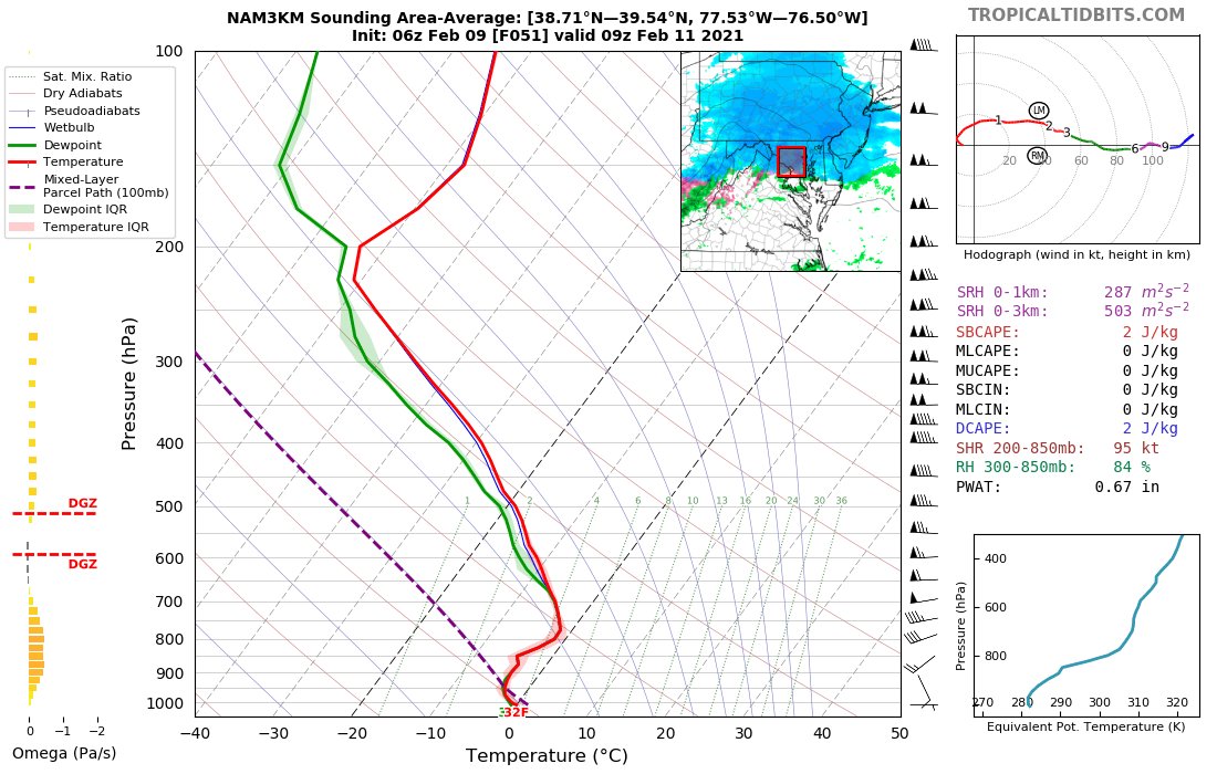
This next system features fairly weak vertical velocities with a not fully saturated DGZ and low level westerlies that can act to downslope into the Piedmont. Once again-- protect your low end. https://twitter.com/wxmvpete/status/1358115375708180487
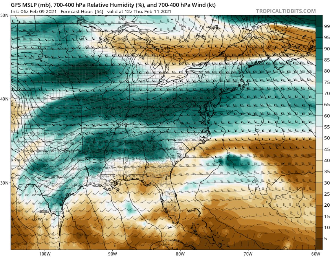
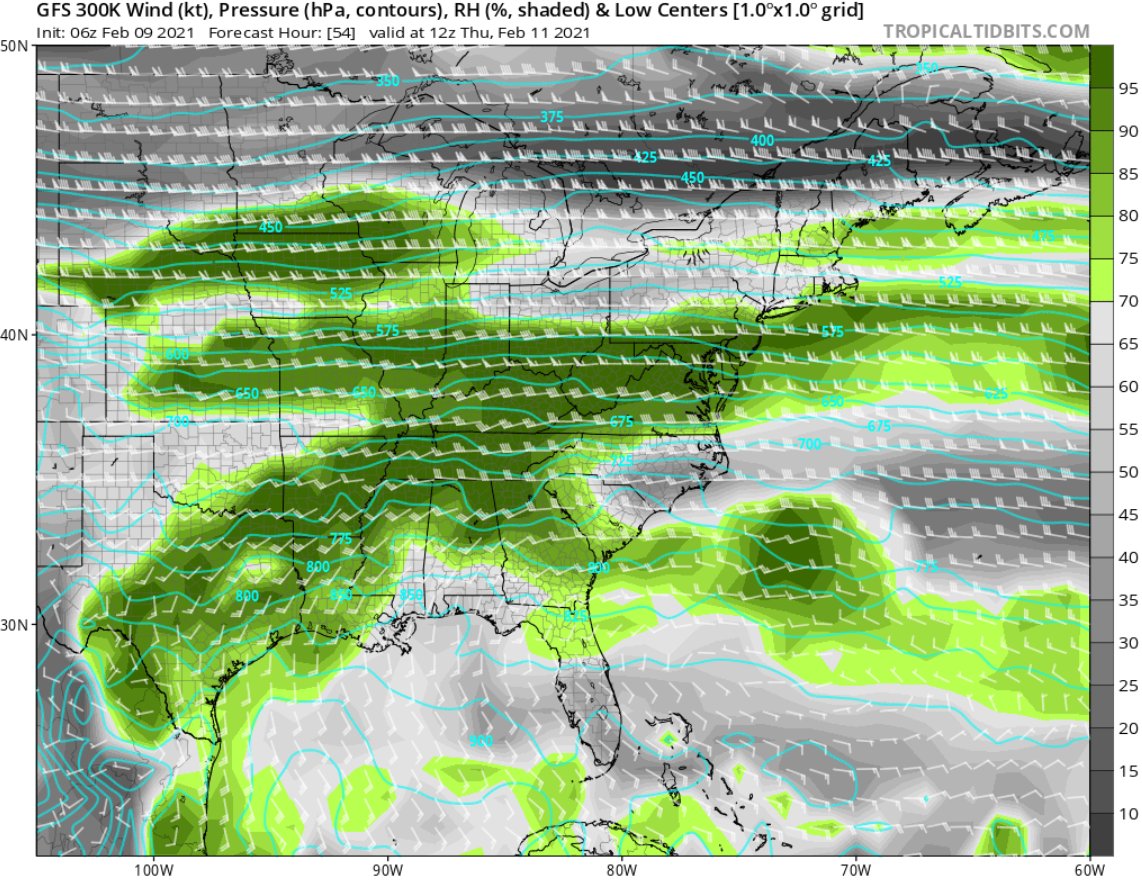
Things that are going for the event is still a steady diet of moisture aloft (GFS/Euro both show this heading into Thursday morning (still be wary of downsloping). Steady isentropic glide. Snow also arrives Wed. Night, helping to get things accumulating sooner than last Sunday.
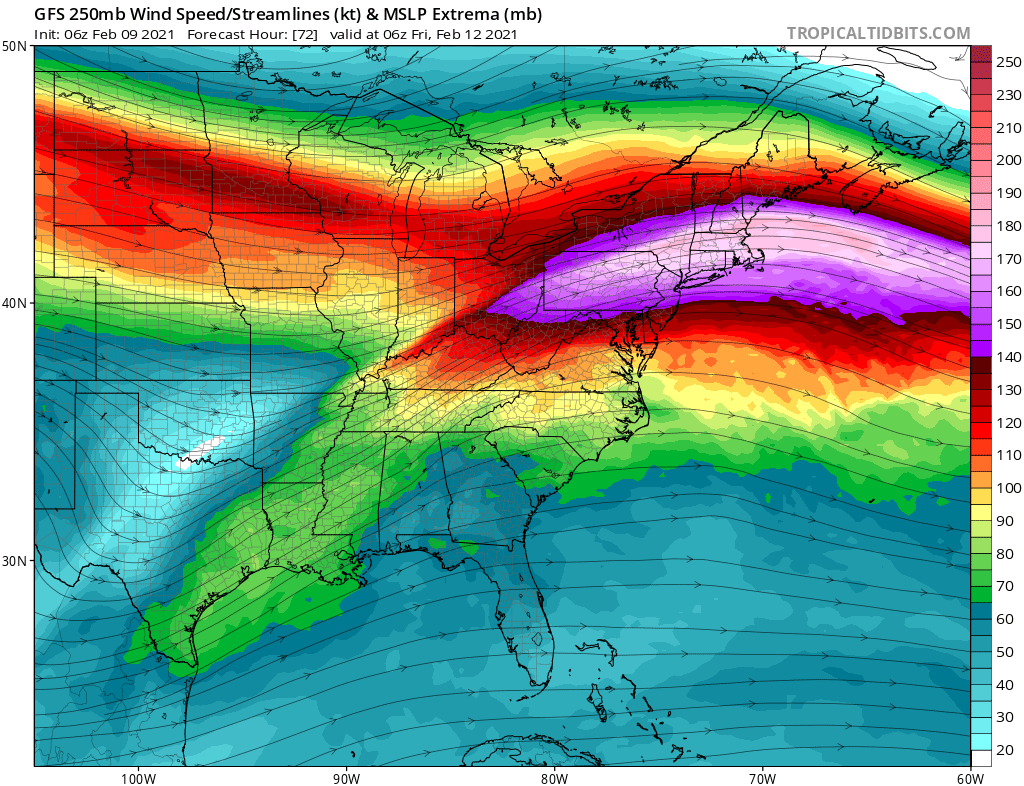
Setup going into Thursday night may have a bit more intrigue with the right-entrance region becoming oriented over the area. Well saturated sounding too. But there are still caution signs, most notably recent ensemble guidance trending a tad drier/more suppressed.
One of the common themes for this area this winter has been a weakening in modeled FGEN within 24-48 hours of an event. You can still get steady snowfall, but we've seen pretty snowy solutions days out start to become less bullish.
Could that change this time? Sure. It could also continue to trend flatter w/ less VVs & suddenly it isn't a big event. My point in this thread: look at areas where things could be suspect. Plenty of cold air this time around but is forcing strong enough to support heavier rates?

 Read on Twitter


