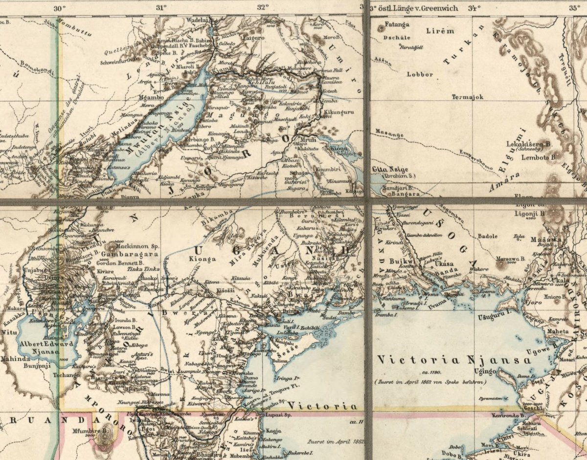
There have been a number of fine works published on borders, maps and territorial sovereignty in modern Africa. The borders of precolonial Great Lake kingdoms were undergoing considerable change prior to the 1890s. 1/7
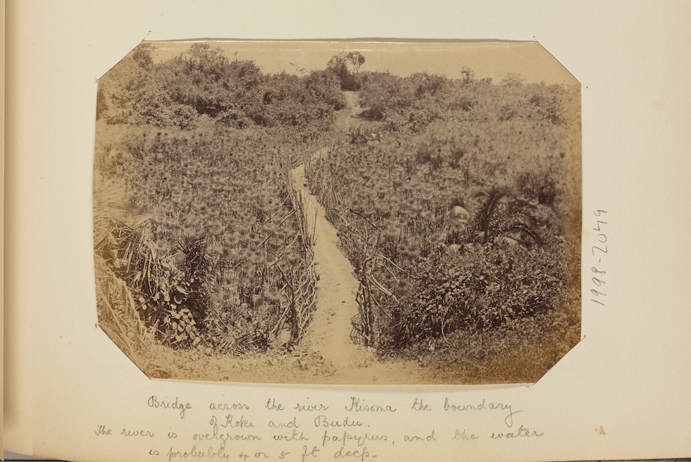
For example, there were ongoing territorial disputes between communities in Kooki and Buddu by the 1870s. In the early 1900s, one border was photographed between the two regions (seen below). 2/7
The description for this image reads, ‘Bridge across the river Kisoma the boundary of Koki and Budu The river is overgrown with papyrus, and the water is probably 4 or 5 ft
deep’. 3/7
deep’. 3/7
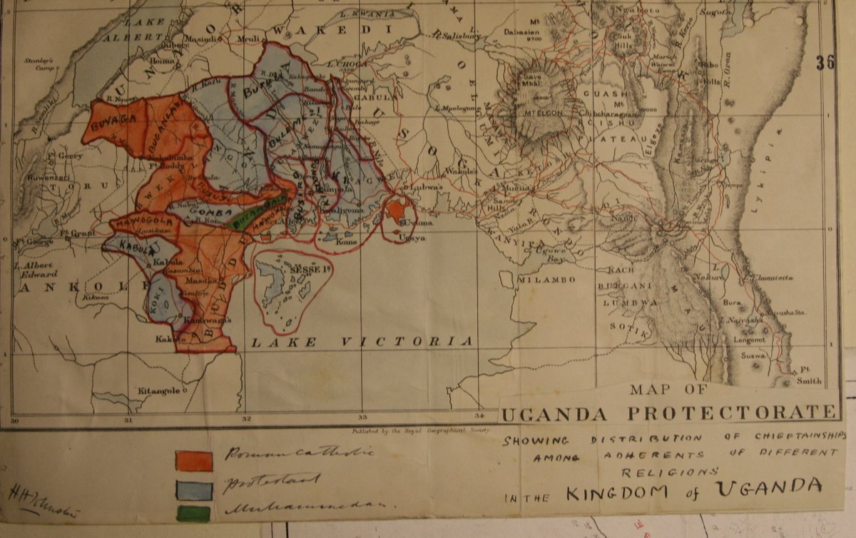
Buganda's counties, as is well known, were restructured around religious loyalties following the religious wars. The following map is maintained in @UkNatArchives. It was created shortly after the religious wars & is, I believe, the oldest map of Buganda's religious counties. 4/7
The Muslim county of Butambala was deliberately placed between a Catholic and Protestant county to ensure that exiled Muslims did not organize to reclaim the throne from which they had been violently removed.
RED: Roman Catholic; BLUE: Protestant; GREEN: Muslim
5/7
RED: Roman Catholic; BLUE: Protestant; GREEN: Muslim
5/7
The late Revd Dr J.M. Waliggo showed that Protestants stood on the border of Buddu, across the river, singing toward Catholics: ‘I don’t want to sit where a papist sits. I don’t want to sit where a papist eats. I don’t want to dip my fingers in the same place with a papist.’ 6/7
In Obulamu bwa Stanislaus Mugwanya, Joseph S. Kasirye shows that Catholics chanted in reply, ‘The person who crosses [. . .], Will open the gun muzzles.’ 7/7

 Read on Twitter


