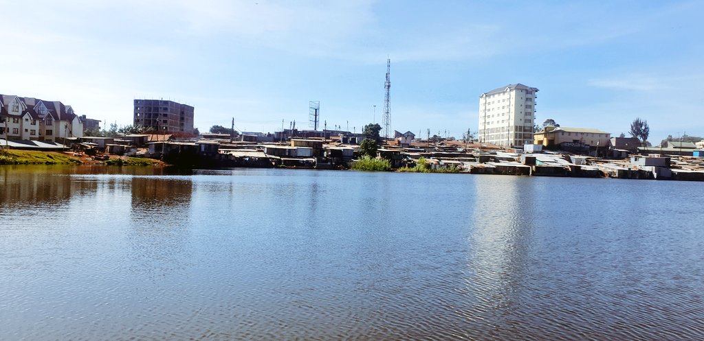
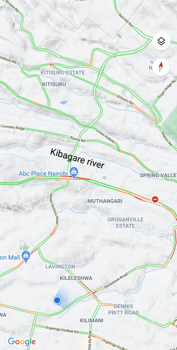
Kibarage river is one of the tributaries of Nairobi river.
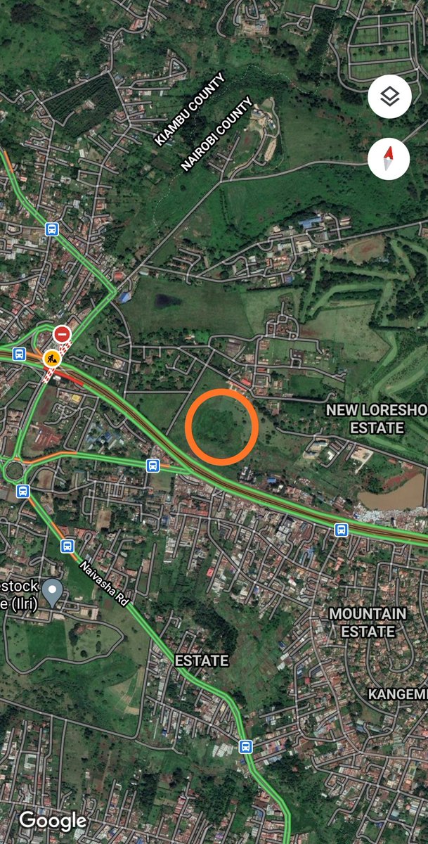
The river springs out of the ground at KALRO in Kangemi and can be seen from Waiyaki Way. Over its relatively short course of approx. 20km, the river has seen its fair share of drama.
Thread.
The river springs out of the ground at KALRO in Kangemi and can be seen from Waiyaki Way. Over its relatively short course of approx. 20km, the river has seen its fair share of drama.
Thread.
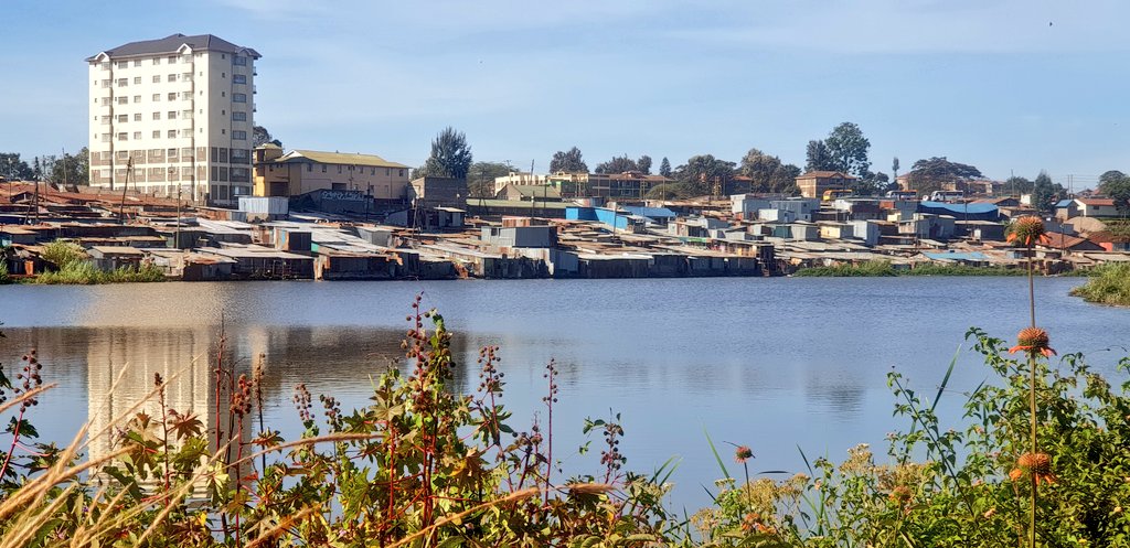
Water from the spring flows year round making Kibarage a permanent river. About a kilometre from the spring, the river is dammed at Kangemi dam.
As is the case along most rivers in the Nairobi river basin system, a slum cropped up next to Kibarage at Kangemi dam.
As is the case along most rivers in the Nairobi river basin system, a slum cropped up next to Kibarage at Kangemi dam.
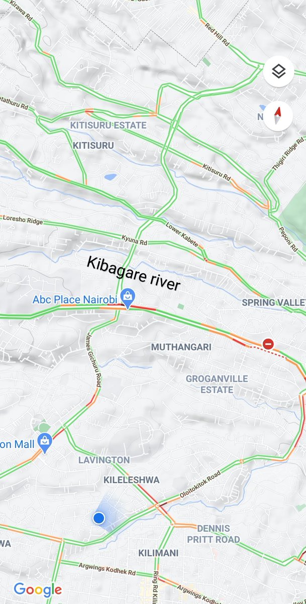
Kibarage river then flows past Loresho, Kibagare estate, Nairobi School, through Kyuna estate and past the Red Hill road to Spring Valley.
Spring Valley estate might have been named after the river valley that traverses the neighborhood.
Spring Valley estate might have been named after the river valley that traverses the neighborhood.
Past Spring Valley, Kibarage river is tunneled along Mwanzi road. It is along this section that the Nakumatt Ukay building was located.
The building was demolished in 2018 when the Nairobi River Taskforce moved to reclaim riparian land https://www.standardmedia.co.ke/entertainment/lifestyle/2001291379/westgate-mall-nakumatt-ukay-targeted-for-demolition?amp=1
The building was demolished in 2018 when the Nairobi River Taskforce moved to reclaim riparian land https://www.standardmedia.co.ke/entertainment/lifestyle/2001291379/westgate-mall-nakumatt-ukay-targeted-for-demolition?amp=1
Kibarage river then flows under the Ring road Parklands and across Oshwal Center. The river is tunneled along sections of the community center.
Past Oshwal, Kibarage river flows near Parklands first avenue and enters City Park near Prof. Wangari Maathai road.
Past Oshwal, Kibarage river flows near Parklands first avenue and enters City Park near Prof. Wangari Maathai road.
The ecosystem of City Park is greatly dependent on the flow of Kibarage river through the Park.
@Environment_Ke and @NemaKenya have led efforts to clean the section of Kibagare river that flows through City Park
https://twitter.com/Environment_Ke/status/1309152662294851586?s=19
@Environment_Ke and @NemaKenya have led efforts to clean the section of Kibagare river that flows through City Park
https://twitter.com/Environment_Ke/status/1309152662294851586?s=19
As it exists City Park, Kibagare river cuts across Thika road and flows through Pangani and Mathare, marking the boundary between the two neighborhood.
Kibagare river's journey ends about a kilometre later when it joins Mathare river near Mathare Section 3C.
End.
Kibagare river's journey ends about a kilometre later when it joins Mathare river near Mathare Section 3C.
End.

 Read on Twitter







 by
by 
