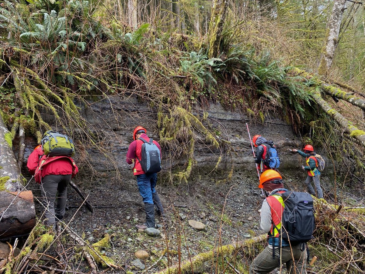
Yesterday was the first Earth Science fieldtrip since the SFU shut down last March! So happy for permission to do this! There was paperwork, careful planning, and rules. This is a regular trip to Seymour Valley for the combined undergrad/graduate Quaternary Geology Course. 1/n
Will discuss Covid precautions first, then geology. Canvas "quiz" on covid symptoms before arrival. Bus 50% occupancy, disinfected before students go on each time, same seat, masks mandatory, hand sanitiser before going on. Some grad students drove themselves. 2/n
Masks mandatory all day, physical distancing enforced. meant cycling students through at some of the exposures so it took longer than usual. Sometimes had to reminding students to spread out, but they were good about it. Someone said it was so great to be around people! 3/n
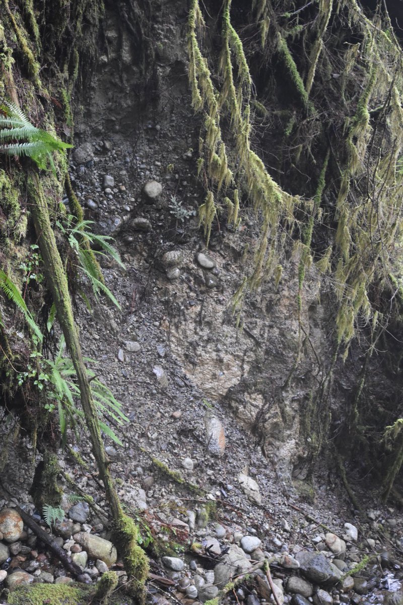
Seymour Valley has sediments that range from >40 ka to modern. This is the oldest sediments, MIS 3 interstratified gravel, sand and organic rich silts, 44-26 14C ka. Interpreted to represent accumulation in a floodplain. Interstadial forested conditions with cooling trend 4/n
These advance glaciolacustrine sediments mark the start of the MIS 2 Fraser Glaciation. Represent the Cordilleran Ice Sheet blocking the mouth of the valley forming an ice contact lake. Lots of wood in this unit, dates to ~22 14C ka. 5/n
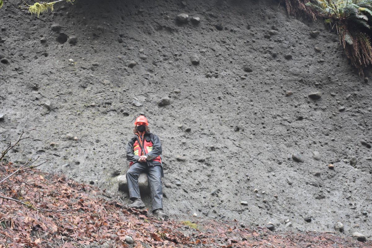
There is lots of great examples of dropstones in this unit, providing the evidence for ice contact. 6/n
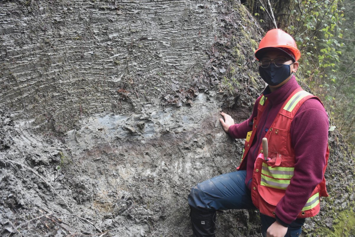
Port Moody Interstade represents glacier retreat, the deglacial lake drained and the development or an open Spruce-Fir forest. Weak paleosol present (Anthony has his hand on it). Wood in soil and in overlying lower Vashon glaciolacustrine seds date 18.5-17.5 14C ka. 8/n
Above, the glaciolacustrine seds become thicker bedded w/ gravel and diamicton beds and more dropstones. Lake is becoming more proximal as glacier gets closer. Unclear if this is local ice or the Cordilleran Ice Sheet pushing up valley, likely the former. 9/n
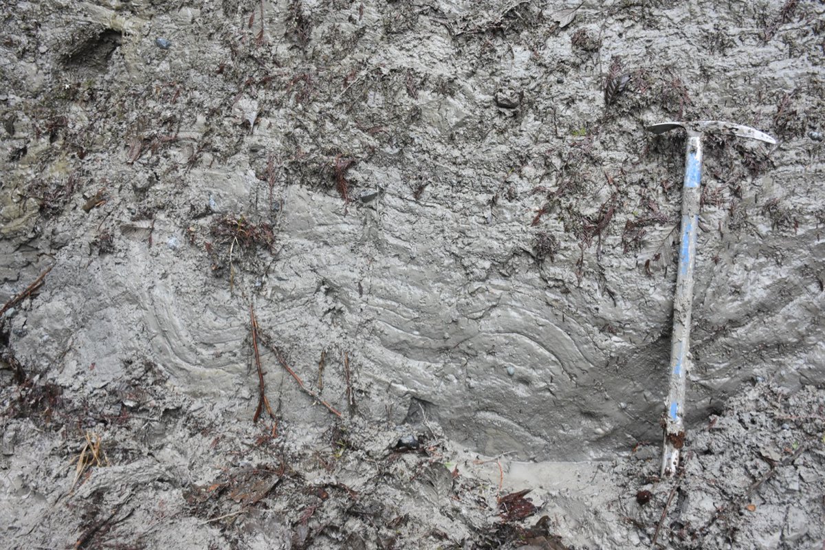
These Vashon advance glaciolacustrine sediments are also folded. We discussed if this represented glaciotectonism or slumping. This could be part of a great undergraduate thesis. 10/n
Sediments above could represent another deglacial lake, or possibly glaciomarine. Not sure, more work to be done! 12/n
I told the students, "there will be mud!" and I delivered. Bus always gets a little muddy after my trips, we cleaned out boots off in creeks on the way back. 13/n

 Read on Twitter

