Bog dog watch: positive trends at H5 continue.
I thought I'd explain what I mean by the changes I look for at H5 (500mb, or upper levels, basically the steering for our storm).
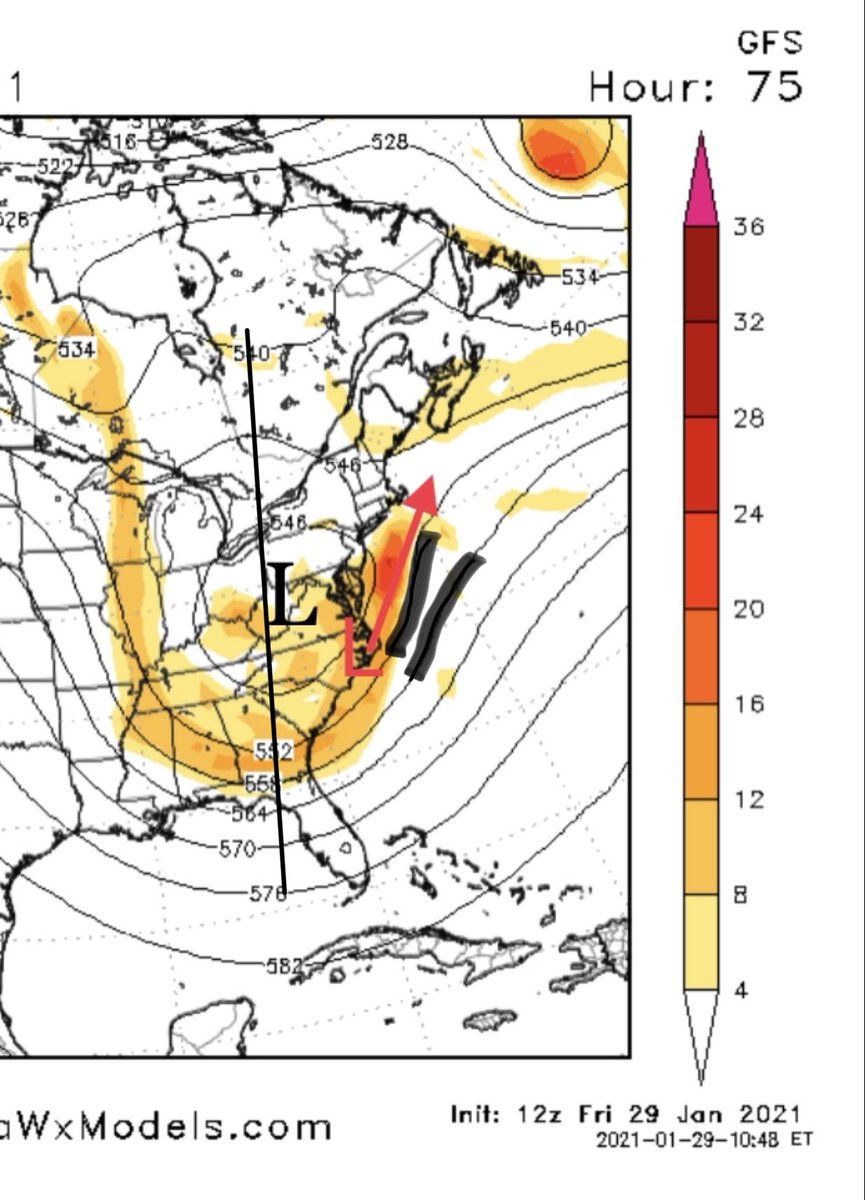
I'll use the 12z and 18z GFS 500mb maps for 10am Monday. (1/12)
I thought I'd explain what I mean by the changes I look for at H5 (500mb, or upper levels, basically the steering for our storm).
I'll use the 12z and 18z GFS 500mb maps for 10am Monday. (1/12)
The first pic is from the 12z. You can see the 500mb low (black) centered over West Virginia. The trough axis (black line) is mildly negative (line directly vertical is neutral, top tilted left is negative, top tilted right is positive).(2/12)
Additionally, the trough is relatively open and not sharp or tight (ie the base is wide rather than narrow, and the 500mb contour lines along the east coast are less vertical). (3/12)
This allows the surface low (red) to be sling-shotted more NE than N or NNE. Less amplification means a weaker storm, and the heavier precip slides farther east with it. (4/12)
Now let's compare that to the 18 GFS 500mb. Here, the trough is less progressive, as the 500mb low (again, black L) is over western West Virginia (not eastern), and as a result the trough axis (black line) is farther west as well.(5/12)
Additionally, the trough is more negative (top tilts left more), and its sharper (base is narrower and contour lines along the east coast are more vertical. (6/12)
Therefore, the surface low (red) is pushed more N to NNE. More amplification, a stronger storm, and a broader and heavier precip shield.(7/12)
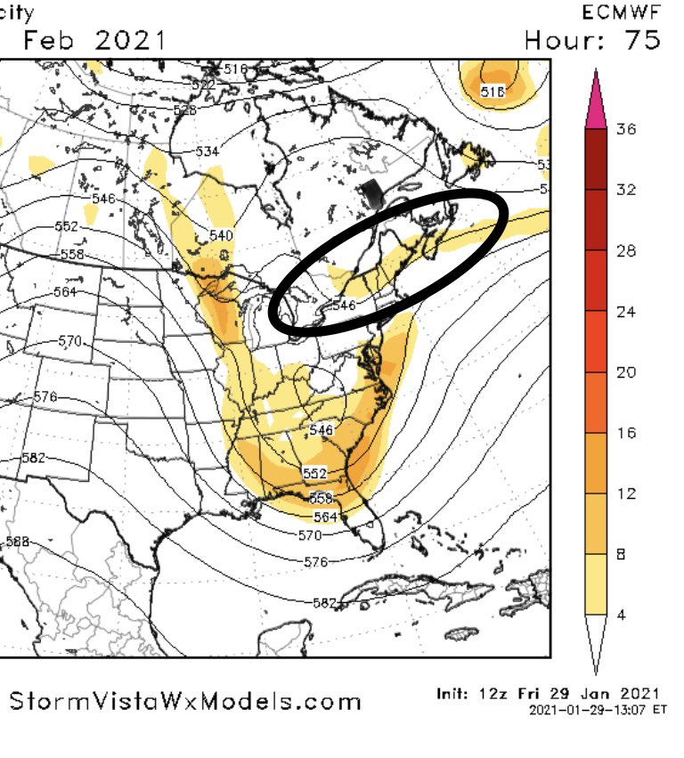
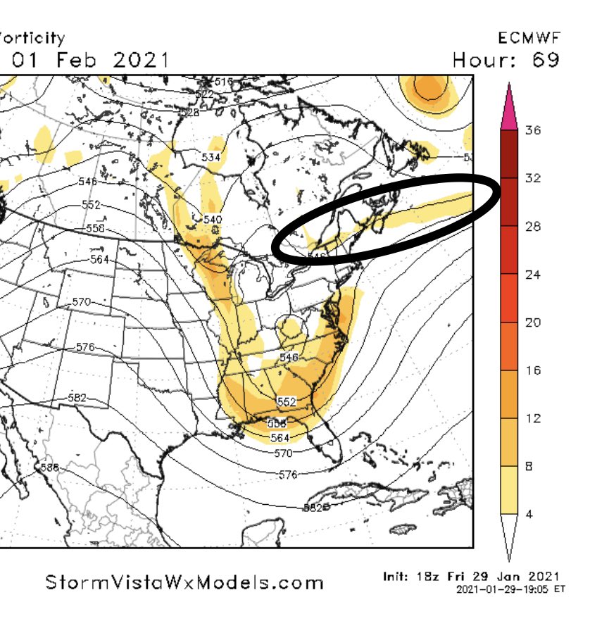
Additionally, the confluence over New England has trended weaker and in a more favorable orientation on the most recent run (less yellow and more horizontal). (10/12)
Not a surprise the axis of heaviest snow has changed as well and is now more widespread and heavier overall (12/12)
Ugh. Big dog watch*
Twitter, you suck with the no editing
Twitter, you suck with the no editing

 Read on Twitter


