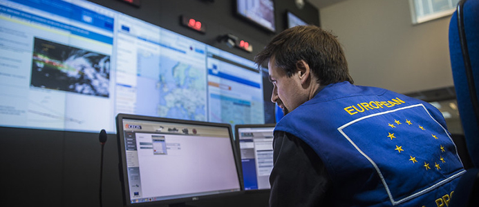
The ERCC makes use of satellites under the @CopernicusEU programme to forecast and monitor disaster events, and to assess their impact once they have hit an area.
 What is the role of #CEMS in @eu_echo early warning systems? A thread
https://ec.europa.eu/echo/what/civil-protection/early-warning-information-systems_en
 What is the role of #CEMS in @eu_echo early warning systems? A thread
https://ec.europa.eu/echo/what/civil-protection/early-warning-information-systems_en
All #CEMS components provide early warning for disasters that inform and can prompt action from the EU Civil Protection and Humanitarian Aid @DG_ECHO.
 #EFAS and #GloFAS are the European & Global Flood Awareness Systems. They give warnings on #floods up to 10 days in advance.
 #EFAS and #GloFAS are the European & Global Flood Awareness Systems. They give warnings on #floods up to 10 days in advance.

 Read on Twitter


