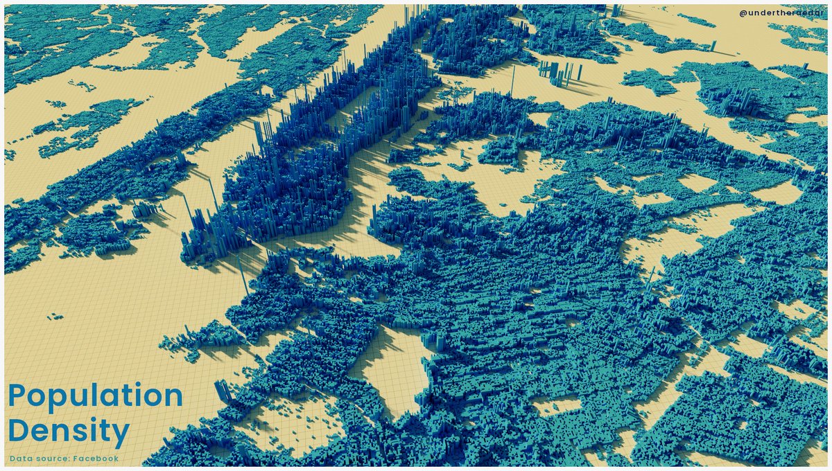
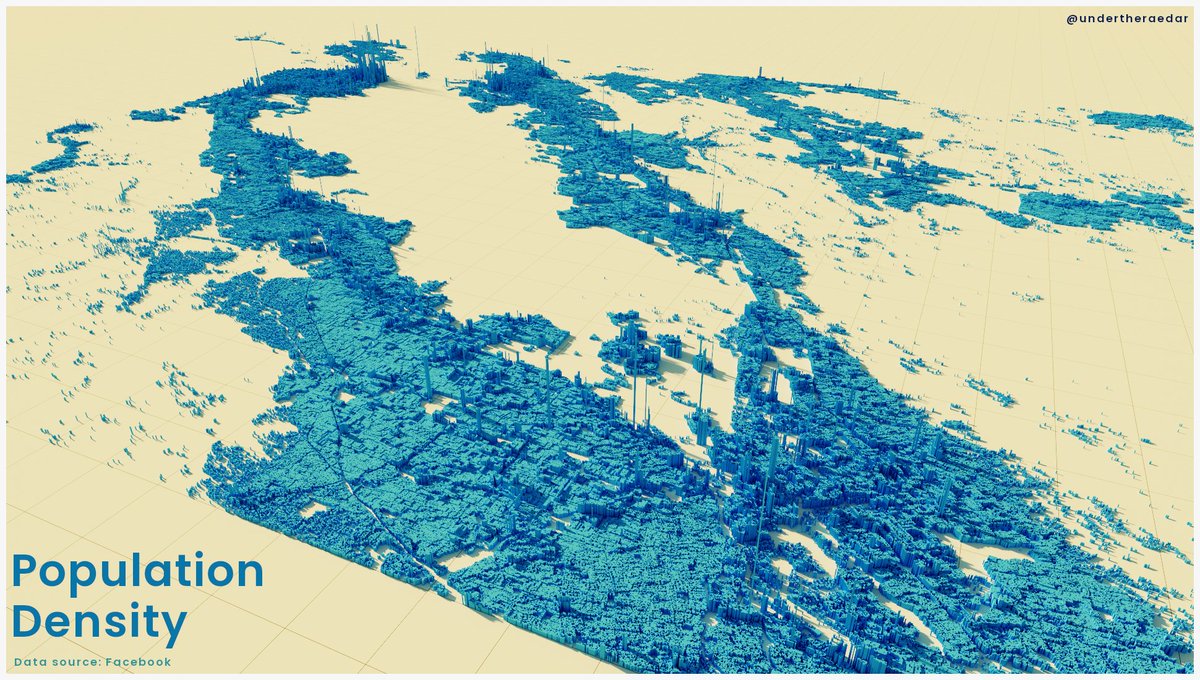
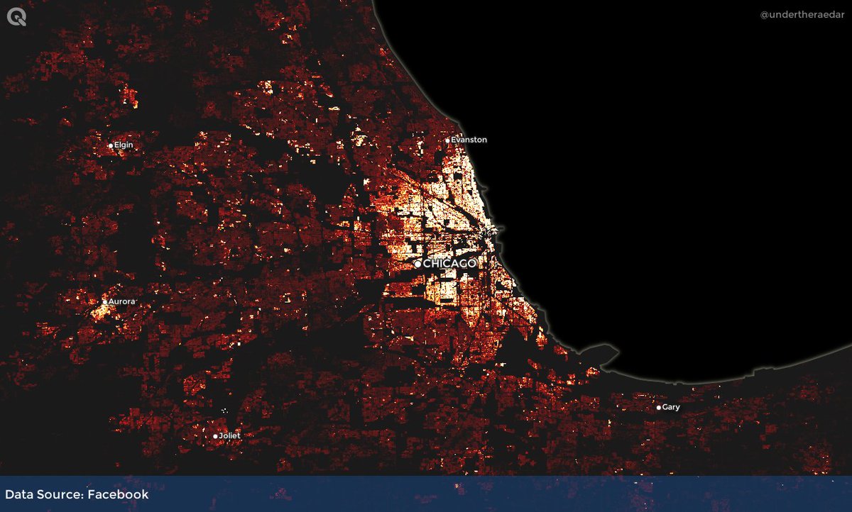
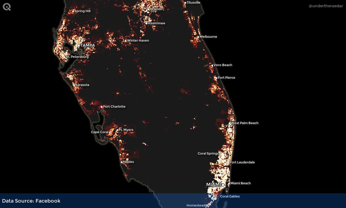
'How to work with Facebook population density data'
I finally got round to taking a deep dive with this data (available for every country in high resolution - 30 metres at the equator) - many real world uses, and Facebook also have some good tutorials
http://www.statsmapsnpix.com/2021/01/how-to-work-with-facebook-population.html
I finally got round to taking a deep dive with this data (available for every country in high resolution - 30 metres at the equator) - many real world uses, and Facebook also have some good tutorials
http://www.statsmapsnpix.com/2021/01/how-to-work-with-facebook-population.html
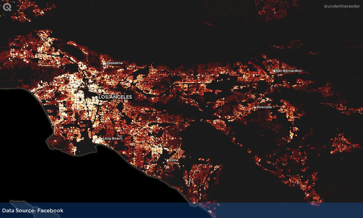
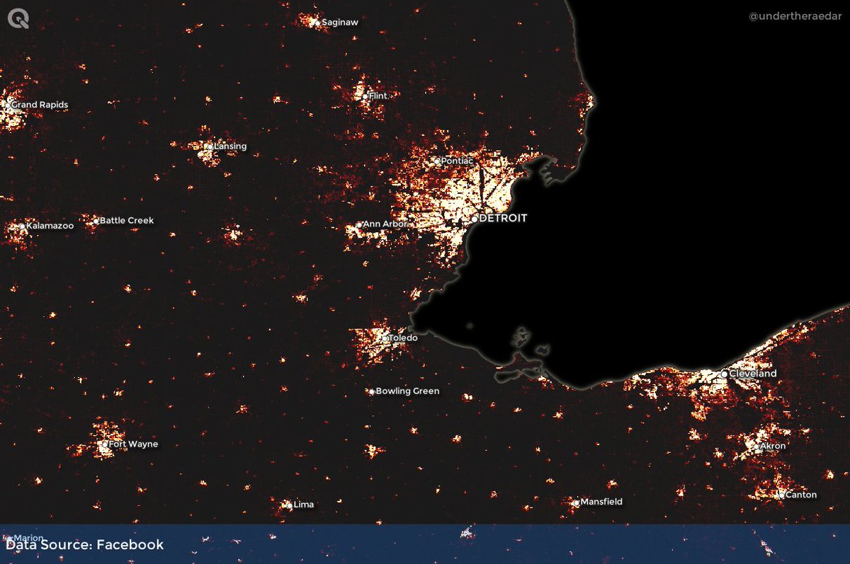
I explain how to download the entire dataset for the US very easily, and it can be replicated for any country (obviously I also had to see what it looked like in 3D in vaguely Facebook-ish colours)
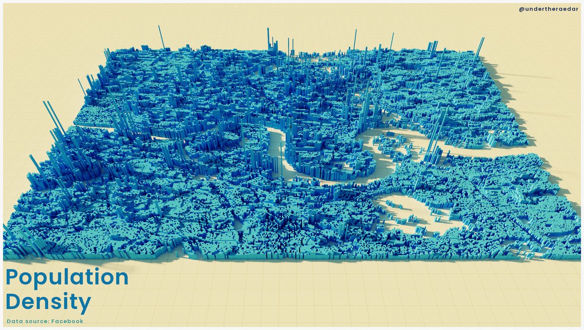
I had a very brief play with the UK data as well - here's a small London extract that looks decidedly Minecrafty
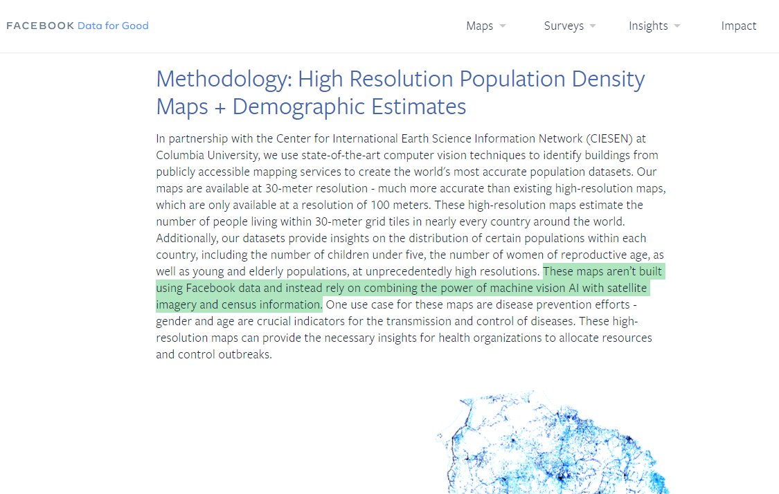
important point - this is not Facebook user data but estimated population data for entire countries: 'These maps aren’t built using Facebook data and instead rely on combining the power of machine vision AI with satellite imagery and census information.'

 Read on Twitter