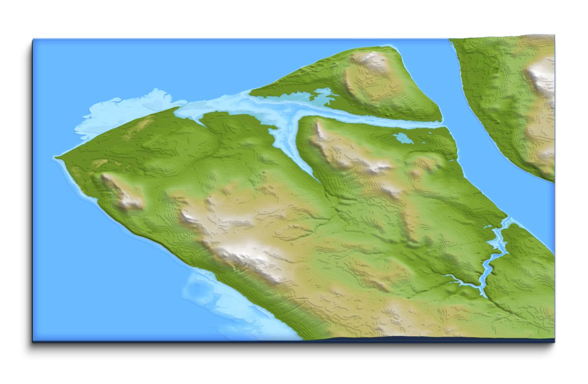
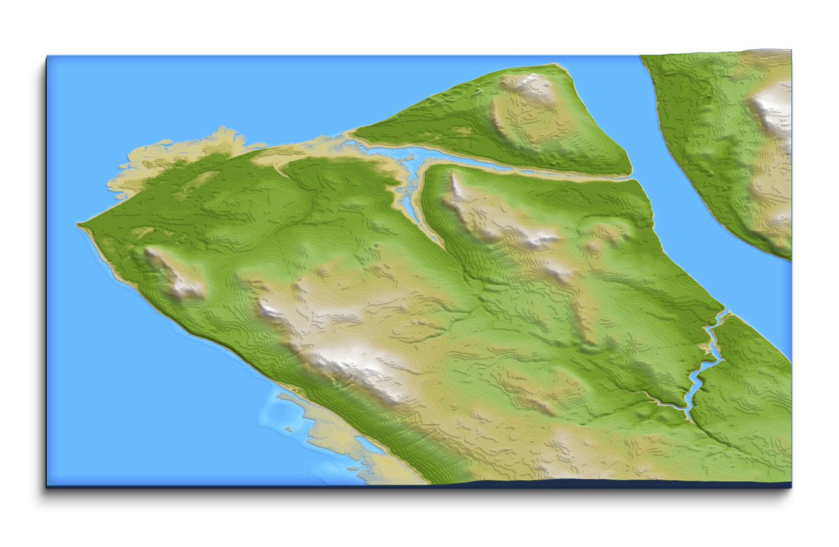
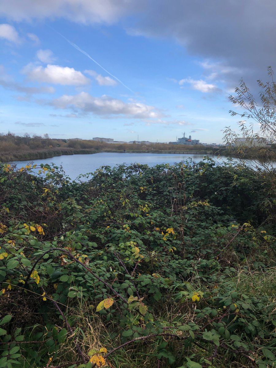
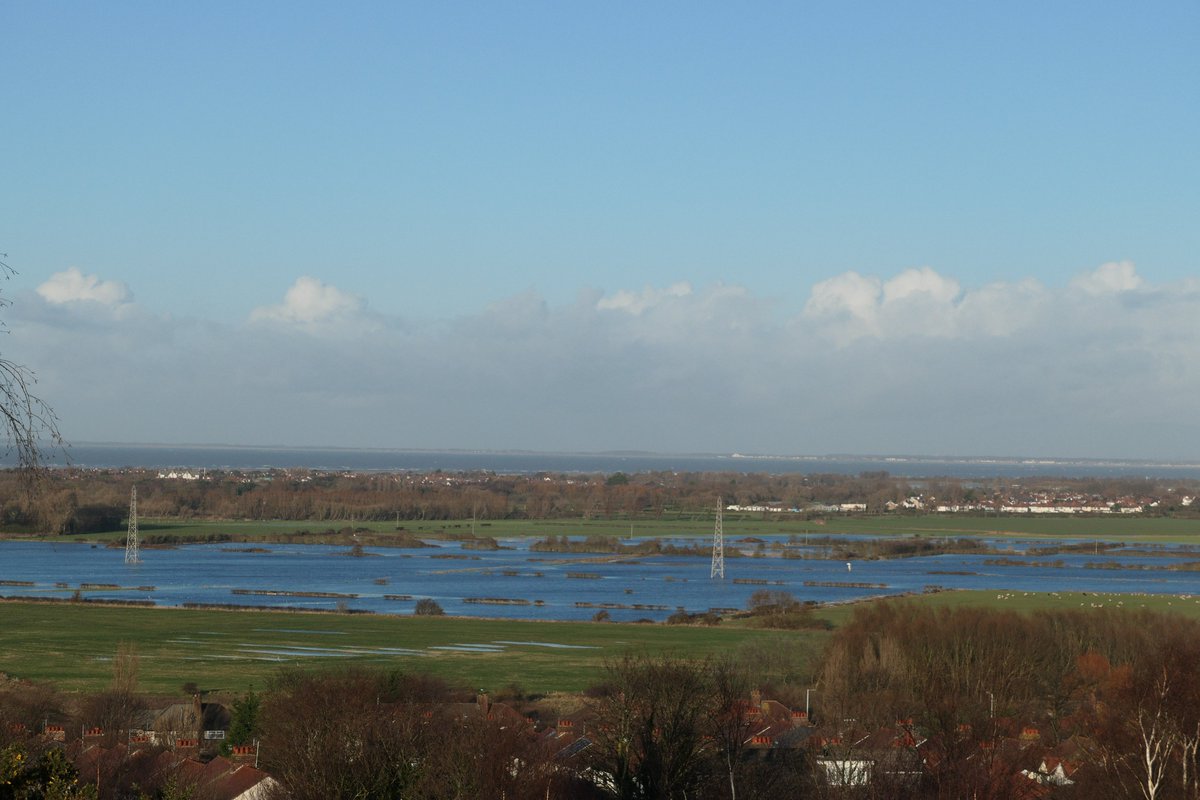
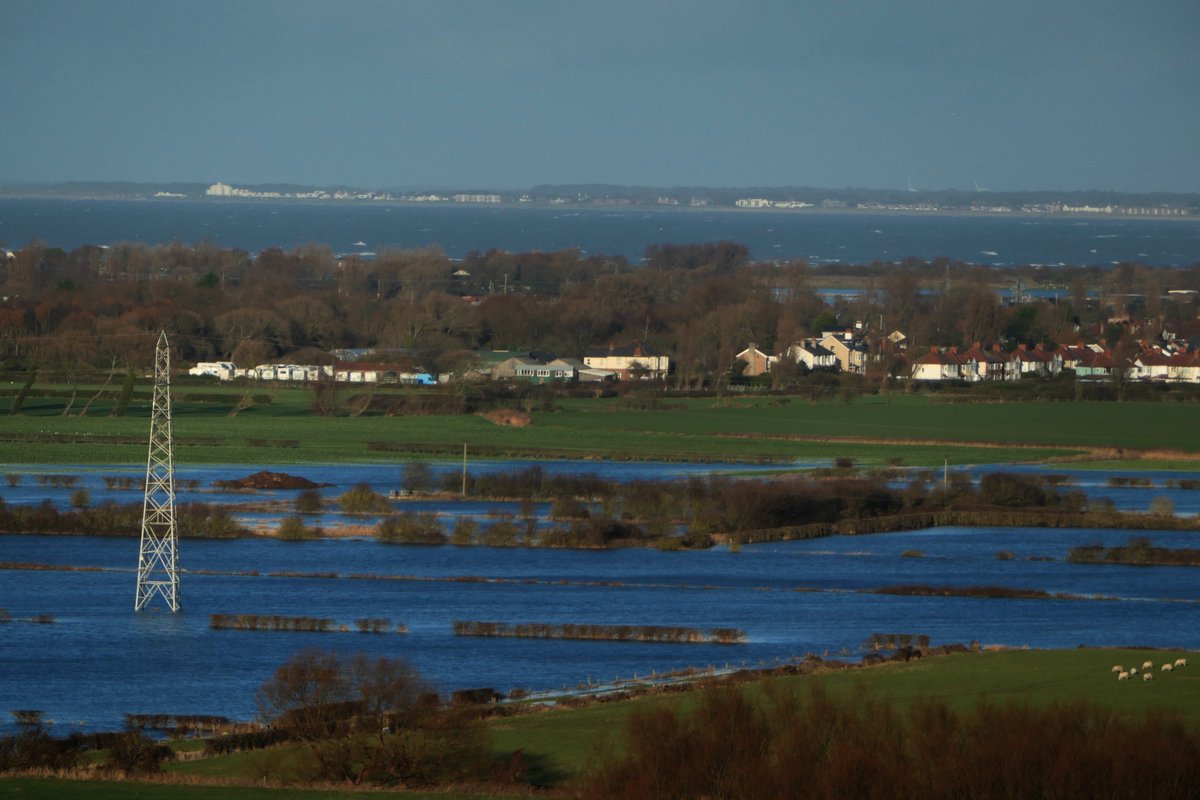
Well our old inlets have flloded and the Brikett and others are now showing where they used to flow 1000 years ago...
Seems like we better get the boats out....
(image shows how the area used to be at high tide)
With today rain were starting to see it again....
Seems like we better get the boats out....
(image shows how the area used to be at high tide)
With today rain were starting to see it again....
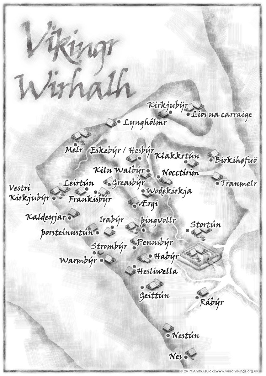
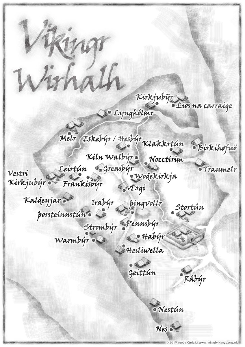
So what did that mean for the local areas when the water came in.... Well some became inland sea areas or severe wetland.
(Illustrations copyright Quicky, Wirhalh Skip Felagr). Used with permission.
(Illustrations copyright Quicky, Wirhalh Skip Felagr). Used with permission.
Even though tiny my comparison with what it would have been. Might this have been the fabled Dingesmere. The end for so many vikings after they waded by to their boats after the battle of Brunanburh.
(Images copyright Wirral Archaeology)
(Images copyright Wirral Archaeology)
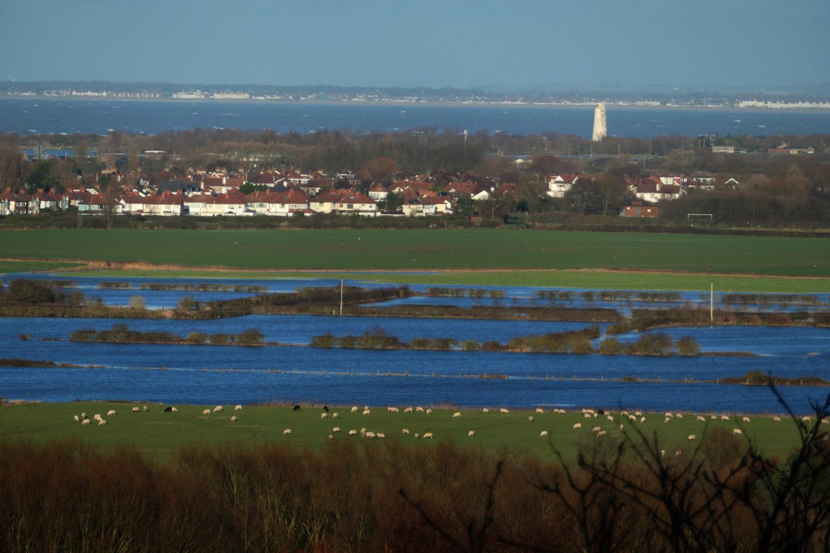
With the heavy rain of the night the lowland areas became flooded again. Remember these areas are now higher than they once was. Once the routed warriors of Brunanburh possibly waded through here back to their ships whilst the sky rained death upon them...
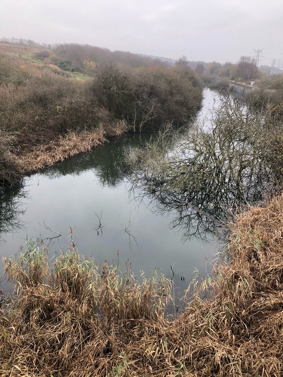
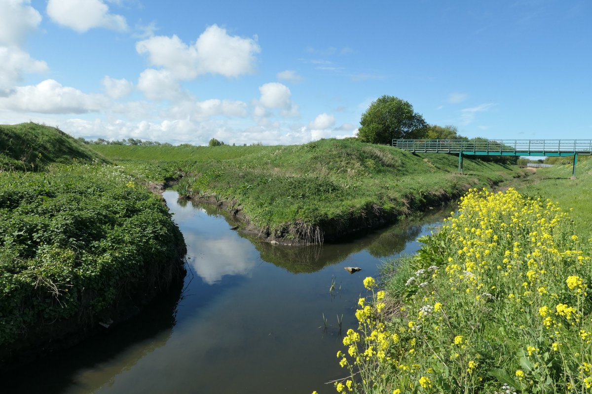
The 'canalised' Old Bank. Fender / Birket Confluence. Dug out for safety and drainage but when it rains heavily. (as the images abaove) even todays embankments cannot stop the flooding...
Photo by Brian Griffiths.
Photo by Brian Griffiths.

 Read on Twitter