A few quick thoughts on the upcoming #Diablowinds event: #CAwx #Firewx
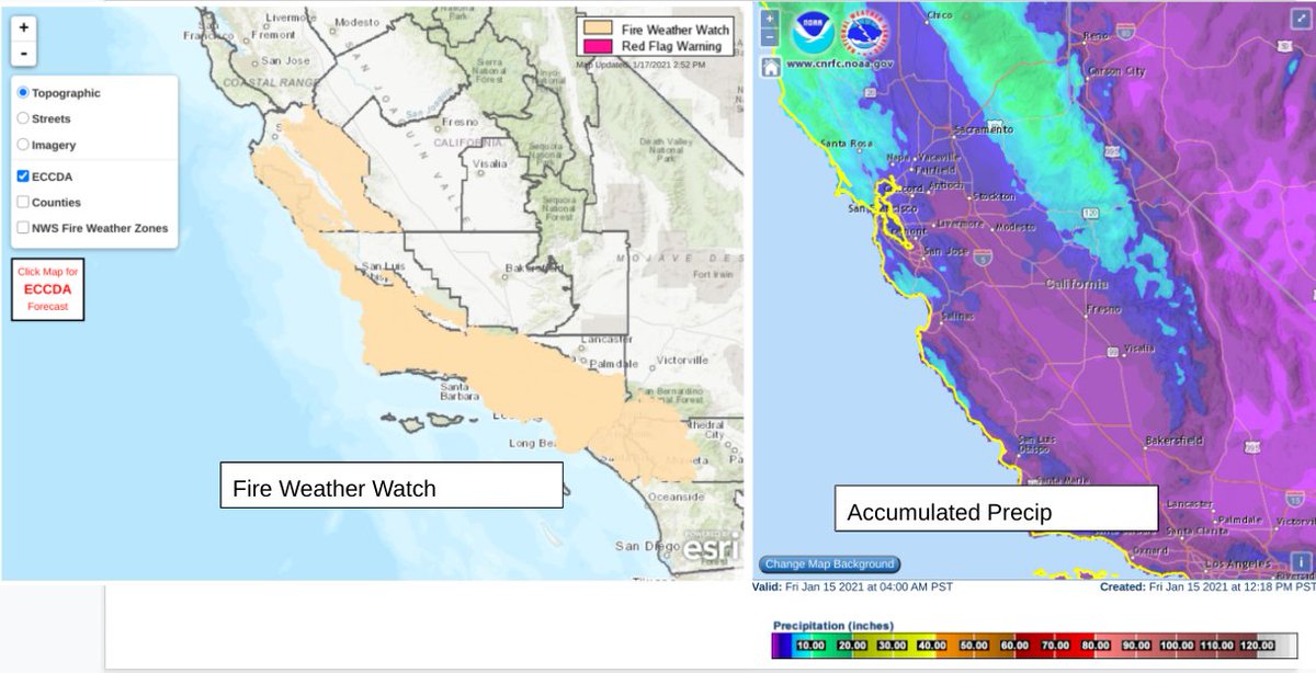
1) Most importantly, there is a huge North-South gradient in total water year accumulated precip, with areas from the Central Diablo range south having received very little if any rain this year. 1/n
1) Most importantly, there is a huge North-South gradient in total water year accumulated precip, with areas from the Central Diablo range south having received very little if any rain this year. 1/n
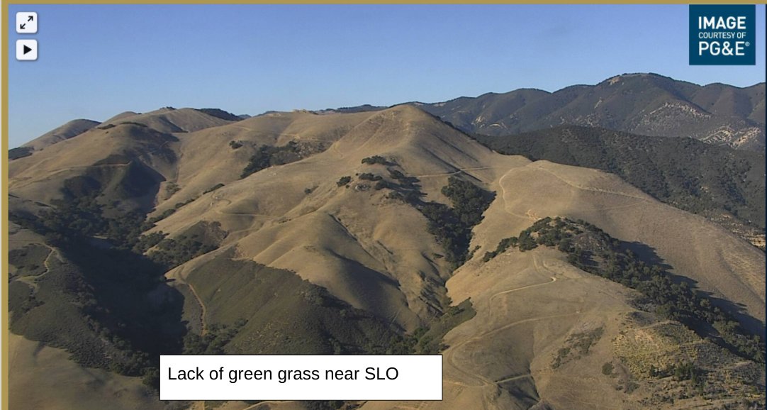
North of the Bay Area fire danger will be mitigated by this years green grass crop. Central and So Coast gets no such reprieve at this time, note the webcam image of still Golden hills from outside SLO. NWS has issued a Fire Weather Watch from Central Coast Southwards.
2/n
2/n
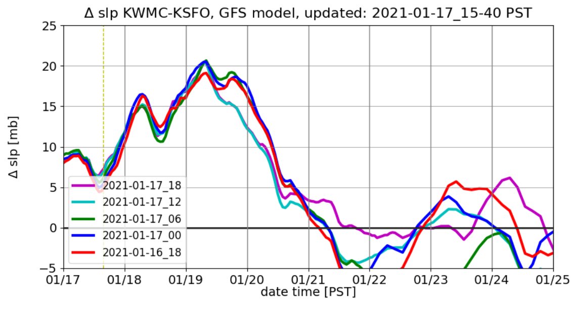
2) Magnitude of event: Relatively strong pressure gradients forecast with trends slightly upwards with more recent model runs. Current forecast is ~20mb Winnemucca - SFO gradient. For reference the strongest recent event in late Oct 2019 event was +25mb. 3/n
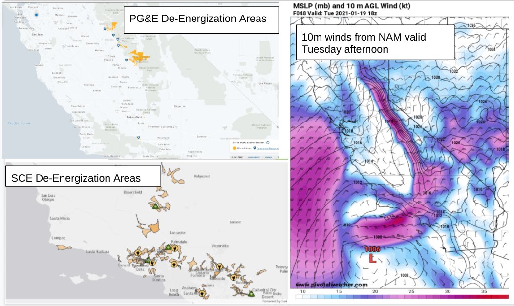
3) Long duration of this event: No Bay will have extreme winds for ~36 hours, Sierra Nevada for 2 consecutive nights . Winds in the No Sierra are more likely to reach lower elevation population centers, in the Cen and So Sierras winds will be confined to higher elevations. 4/4

 Read on Twitter


