Bible study discussion thread: names of countries in Middle East and Africa have changed over years, often renamed by map makers to suit who the map was designed for, or erased from history except on old maps. There is a region that has a post Jerusalem 70AD biblical significance
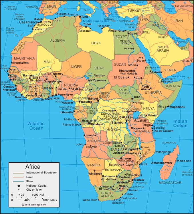
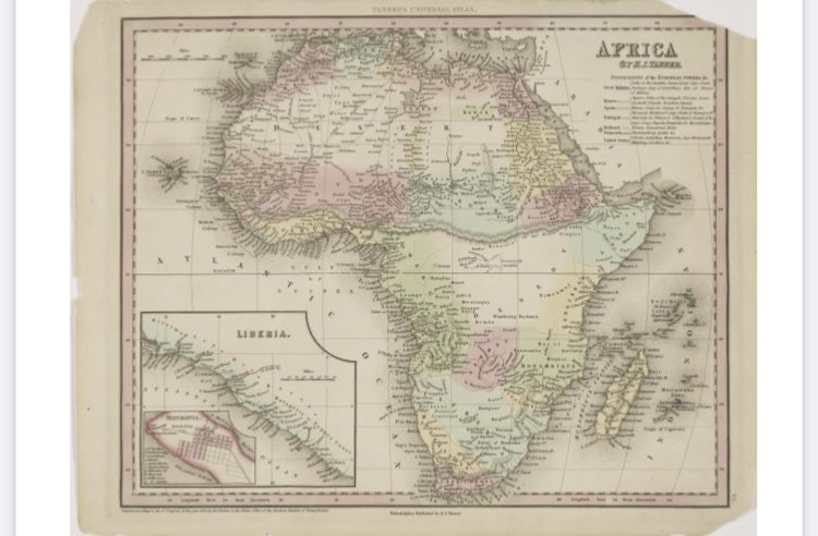
This map of the Middle East/Africa should be familiar to anyone who grew up the 1900s AD onward, but many of the countries shown on this map did not exist before then, or certainly were not known by the names given to them
This thread will look at 20+ maps stored with the Library of Congress, college/university special archives, and cartographer/rare map dealers, including full size and close up looks, and links to source maps for your personal review as well, of maps dated from the 1500-1900s AD
Something to keep in mind 1: maps were often made by cartographers for their users, not for the people who lived in the land the map showed, and what people in the land called their area may not be what the ‘country’ was called by them, Example: Ethiopia was called Nubia and Cush
Something to keep in mind 2: maps of the 1500-1800s of Africa were made by and for the English/German/Spanish/Dutch/Italian sea captains/explorers/traders/merchants in their native languages, not those of Africa
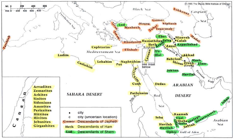
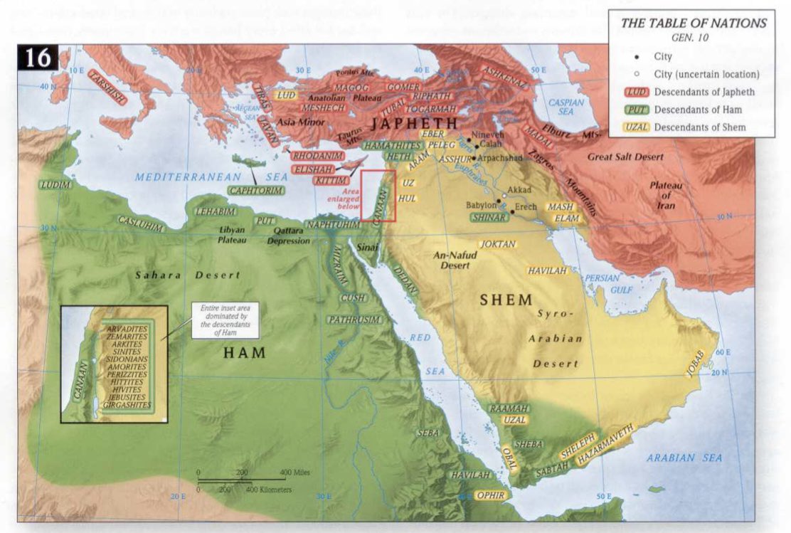
Something to keep in mind 3: review in the Bible Genesis 10 and 11 and you will see where descendant tribes of Ham/Shem/Japheth lived. Ham was Africa, Shem ‘Middle East’, Japheth Mediterranean/Europe/Asia. Exact placement varies, but clearly Ham is Africa and Shem is Middle East
Something to keep in mind 4: Abraham was a descendant of Shem, and migrated from Ur as discussed in Genesis 11 and 12, which was near Babel, about 1000 miles to what would become Israel, a linear distance of nearly 700 miles
Something to keep in mind 5: when Jerusalem was destroyed in 70 AD and people of Judah fled, some went by boat to Sicily and Italy to form communities, some went to what would become Syria/Iraq, but most overwhelming fled south and west into Africa
Keep those 5 points in mind because they will be addressed at times in this thread. With that, let us start to review some maps of Africa, especially West Africa
This map is part of the Yale University Rare Book and Manuscript library, dated 1766, by English map maker Anville, it includes regions, some county names in English, and several notes
The 1766 AD Anville map includes a note about Edrisse the Nubian Geographer, he uses what is called a long S in his name, in describing a water way included on the map
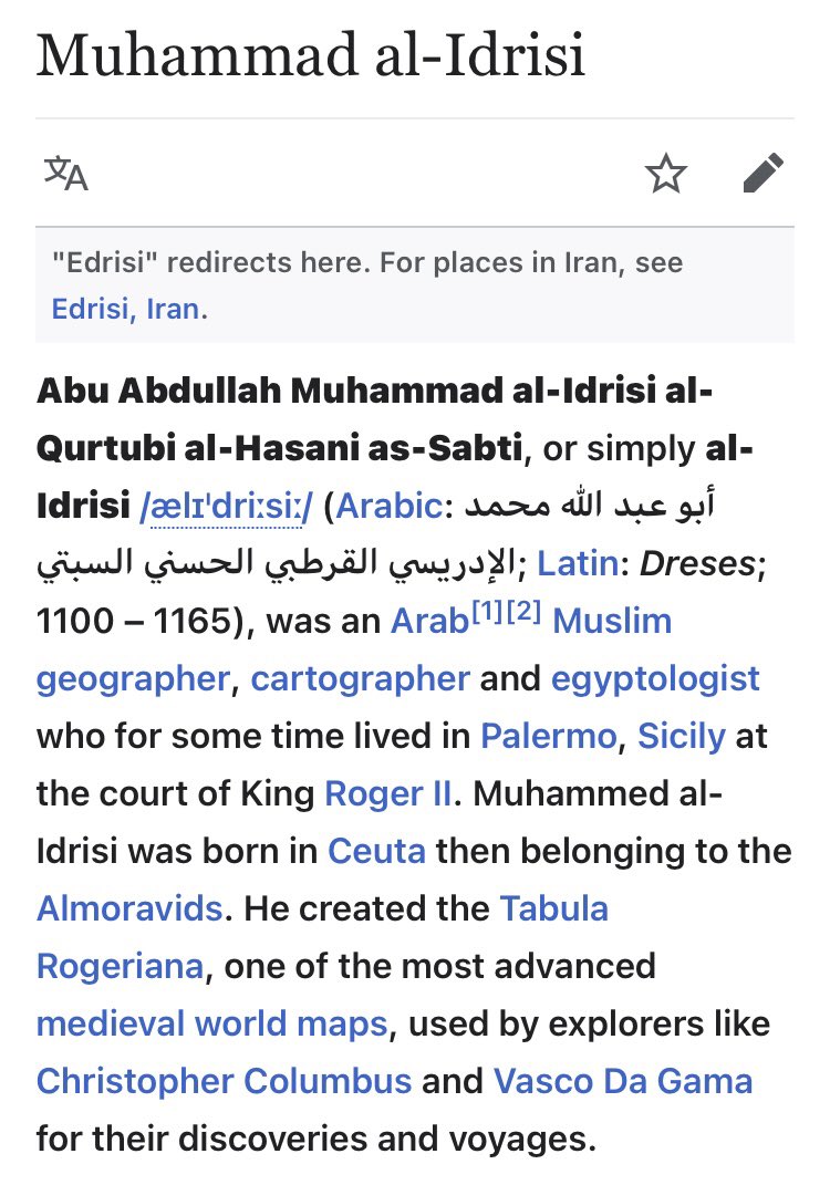
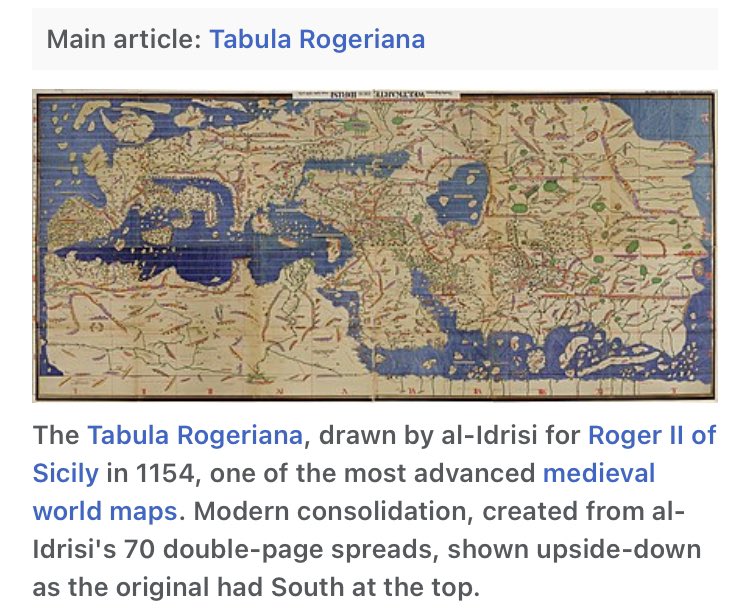
The geographer that Anville references on his 1766 AD map is Edrisi, also known as Idrisi, who was a famous map maker and geographer in the 1100 AD, who made maps so accurate that 300 years afterwards both Columbus and De Gama used Edrisi maps to navigate Europe/African waters
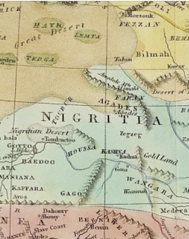
A look again at the 1766 AD map of Africa by Anville finds a region/kingdom/country he calls Nigritia, and notes Edrisi says it was populated by ‘Jews’, keep in mind Edrisi says this in 1100s AD and Anville finds it important to put on a 1766 AD map because they were still there
This is a link to the 1766 AD Anville map that mentions ‘Jews’ living in the middle of West Africa, https://brbl-dl.library.yale.edu/vufind/Record/4194288?image_id=15531042
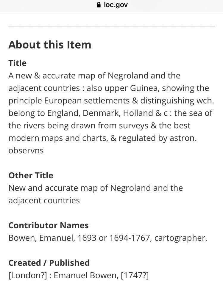
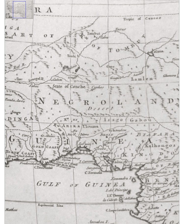
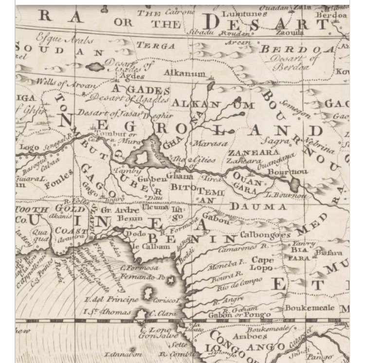
This is a map at the Library of Congress dated 1747 by cartographer Bowen, entitled New and Accurate map of Negroland and adjacent counties. The is the same region as the Anville map that called the area Nigarita where the ‘Jews’ populated hundreds of year earlier and still were
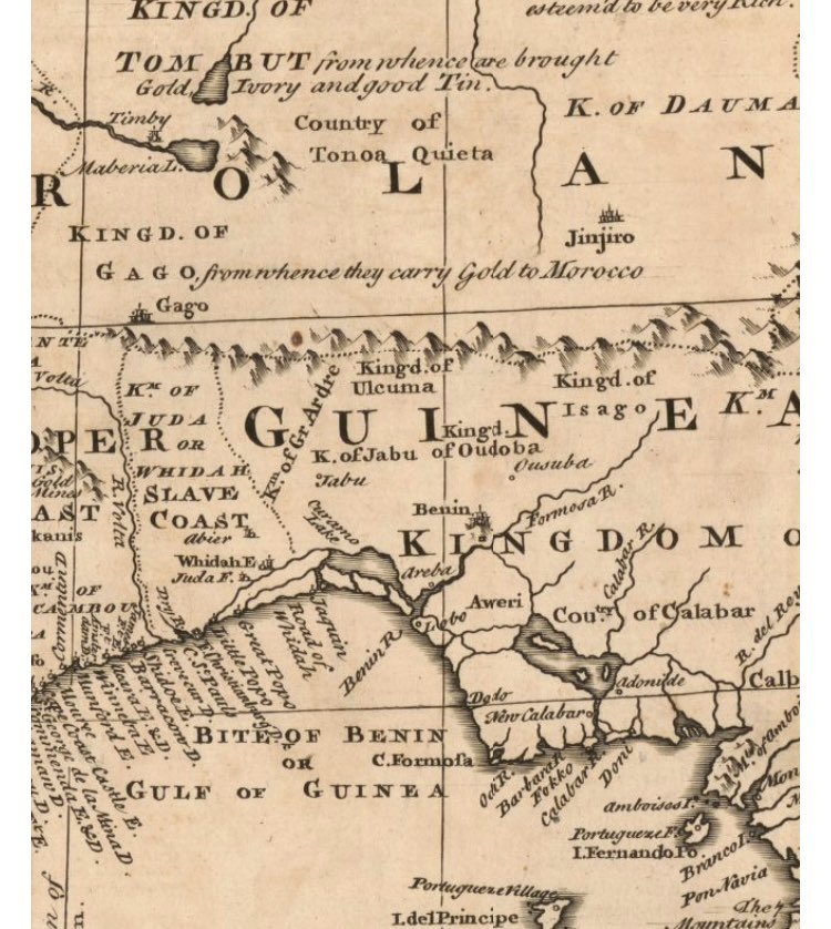
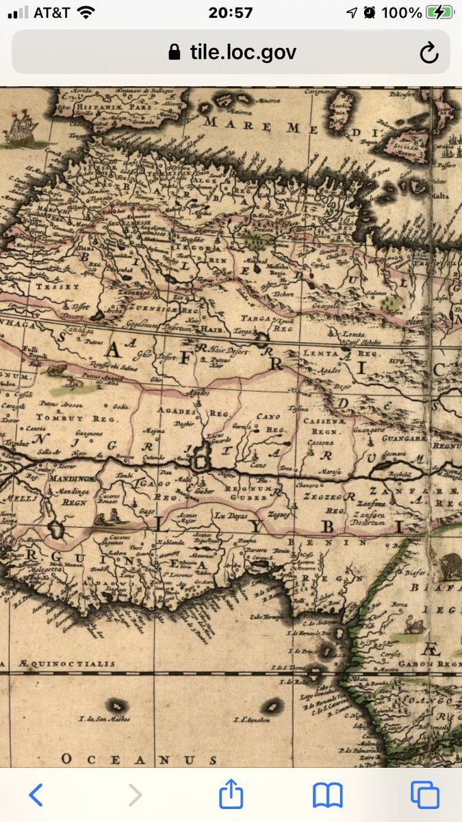
This is a close up of the 1747 AD Bowen map of Negroland, also a part of Guinea, and the ‘slave coast’ where ships would dock overlapping a tribal kingdom known to be called Juda
This is the link to the 1747 AD Bowen map of Negroland which includes a section called the Kingdom of Juda near the ‘slave coast’ at the Library of Congress https://www.loc.gov/item/2018585377/
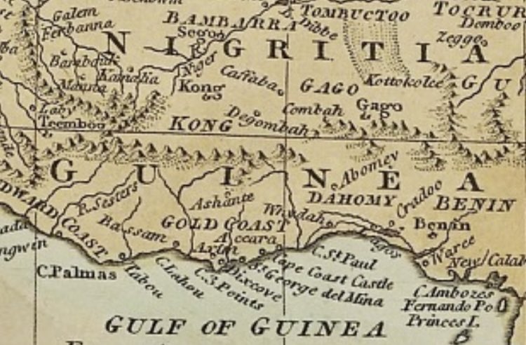
This is a a map stored at the rare map dealer Swaen for the 1792 AD Gibson map of Negroland and Guinea in West Africa
This is the link to 1792 AD Gibson edition Negroland and Guinea map at the Swaen map dealer https://www.swaen.com/item.php?id=18134
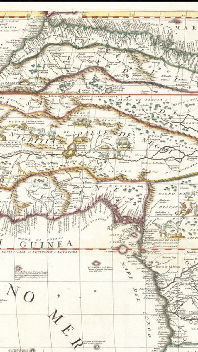
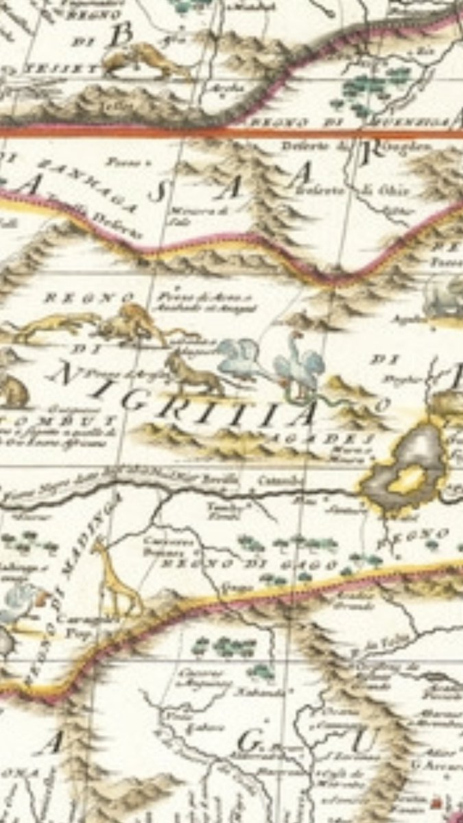
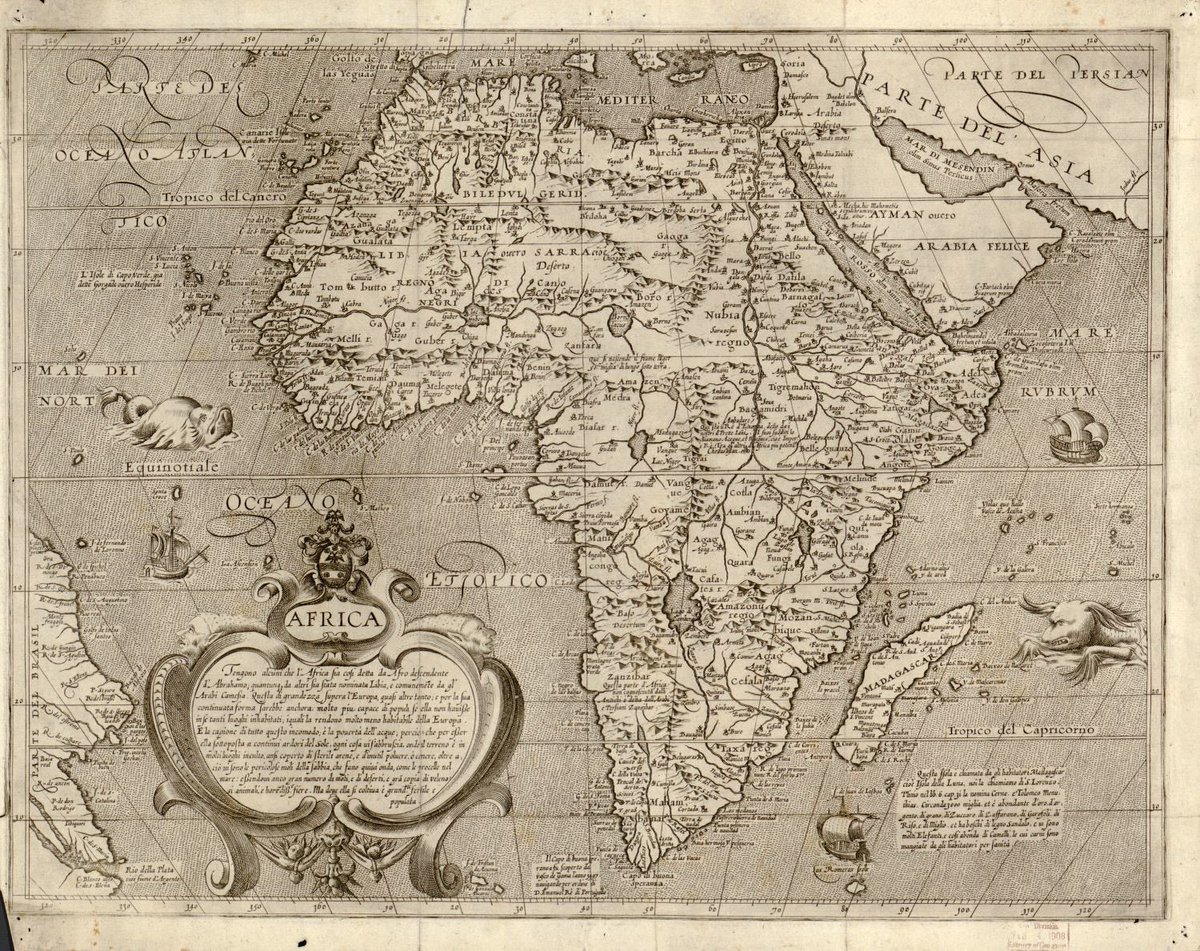
This is a map at BLR Rare Maps dated 1690 by map maker Coronelli, made in Venice Italy, of L’Africa /Africa
Close look at the 1690 AD Coronelli map of Africa shows huge region/kingdom/country on the map called Nigritia Paese De Negri, which is where Edrisi said in 1100s AD was populated by Jews, as noted on the 1740s Anville map, and on other maps called Negroland by the ‘slave coast’
This is the link to the 1690 AD Coronelli map of Africa, https://www.raremaps.com/gallery/detail/70809/lafrica-divisa-nelle-sue-parti-secondo-le-piu-moderne-relat-coronelli
Those four maps are examples of European English/Italian map makers in the 1600-1700s AD showing a region said to have been populated by ‘Jews’ in West Africa, in which they called Negroland, stored at creditable holders of ‘rare maps’, and the following will be several more
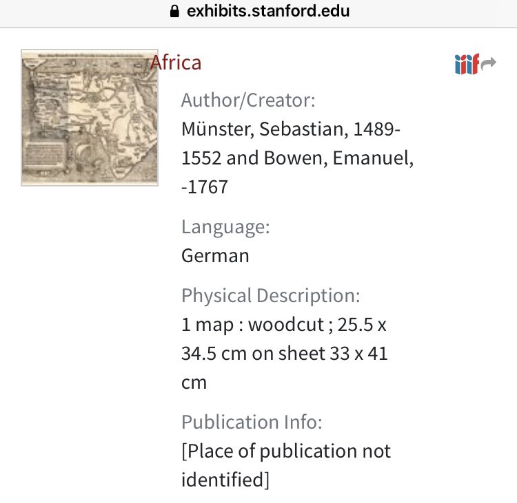
Stanford University exhibition which includes a map for a German explorer, map was originally designed in 1400/1500s AD by Munster and updated in 1767 by Bowen, of Africa, with a region called Nigritia
The link for the Stanford University map of Africa from 1400/1500s and 1767 AD that includes Nigritia https://exhibits.stanford.edu/maps-of-africa/catalog/cx466kj4658
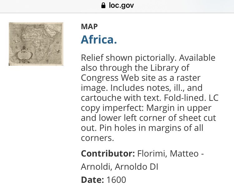
Map at Library of Congress dated 1600 AD of Africa that includes a region called Negri, not to be confused with other markings for the Niger River
Link for Library of Congress for the 1600 AD map of Africa https://www.loc.gov/item/2005632131/
Map at Library of Congress for a Sanson map dated 1679 of Africa called L’Afrique which includes a large region/kingdom called Pays Des Negres
The Library of Congress link for the 1679 AD Sanson map of Africa with Pays Des Negres https://www.loc.gov/item/2005625331/
Map at Library of Congress dated 1688 by Wil, called Totius Africae that includes a section called Nigriarum
The link for the Library of Congress map dated 1688 by Wil of Totius Africae / Africa that shows Nigriarum / Negroland https://www.loc.gov/item/98687162/
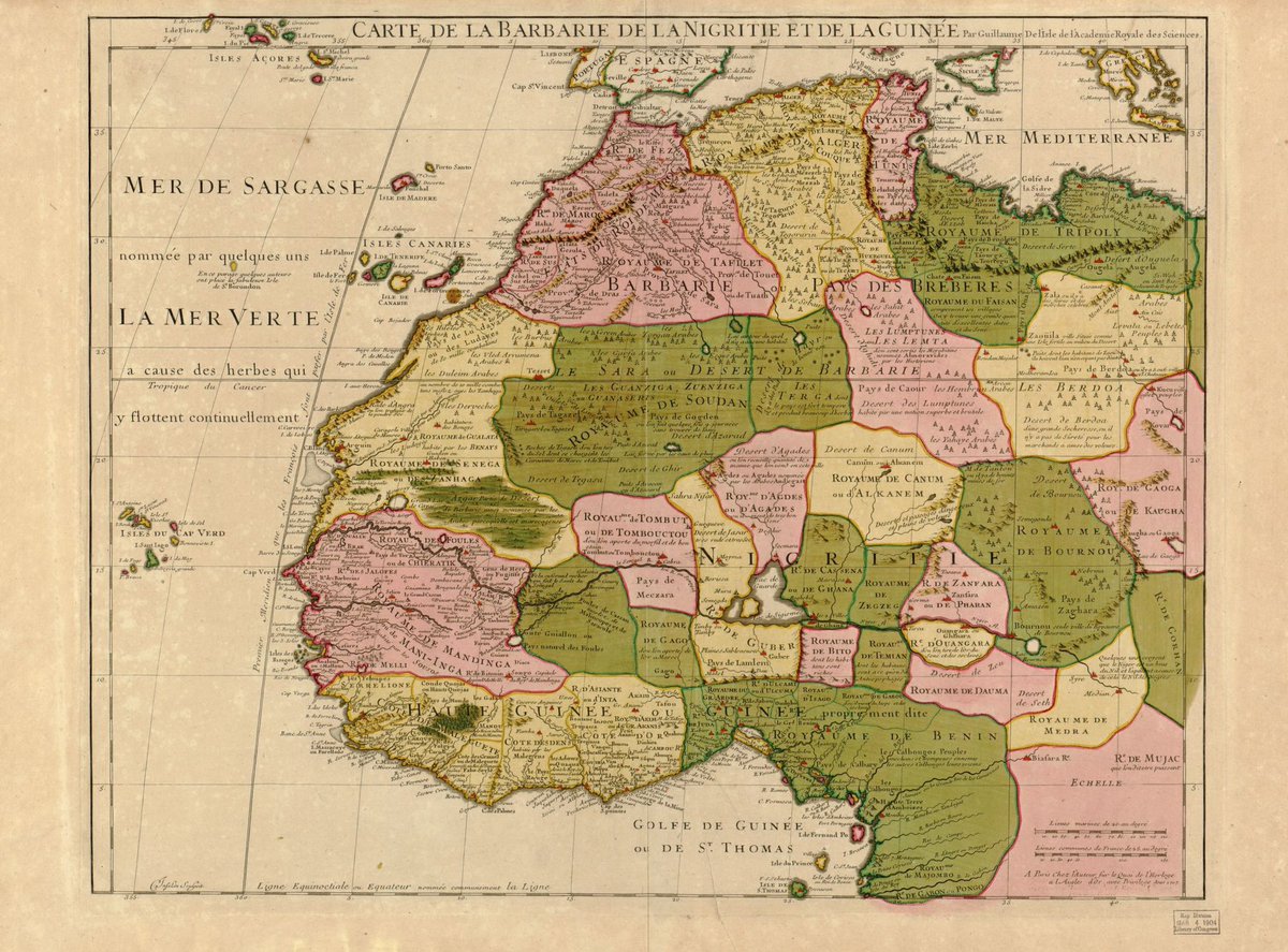
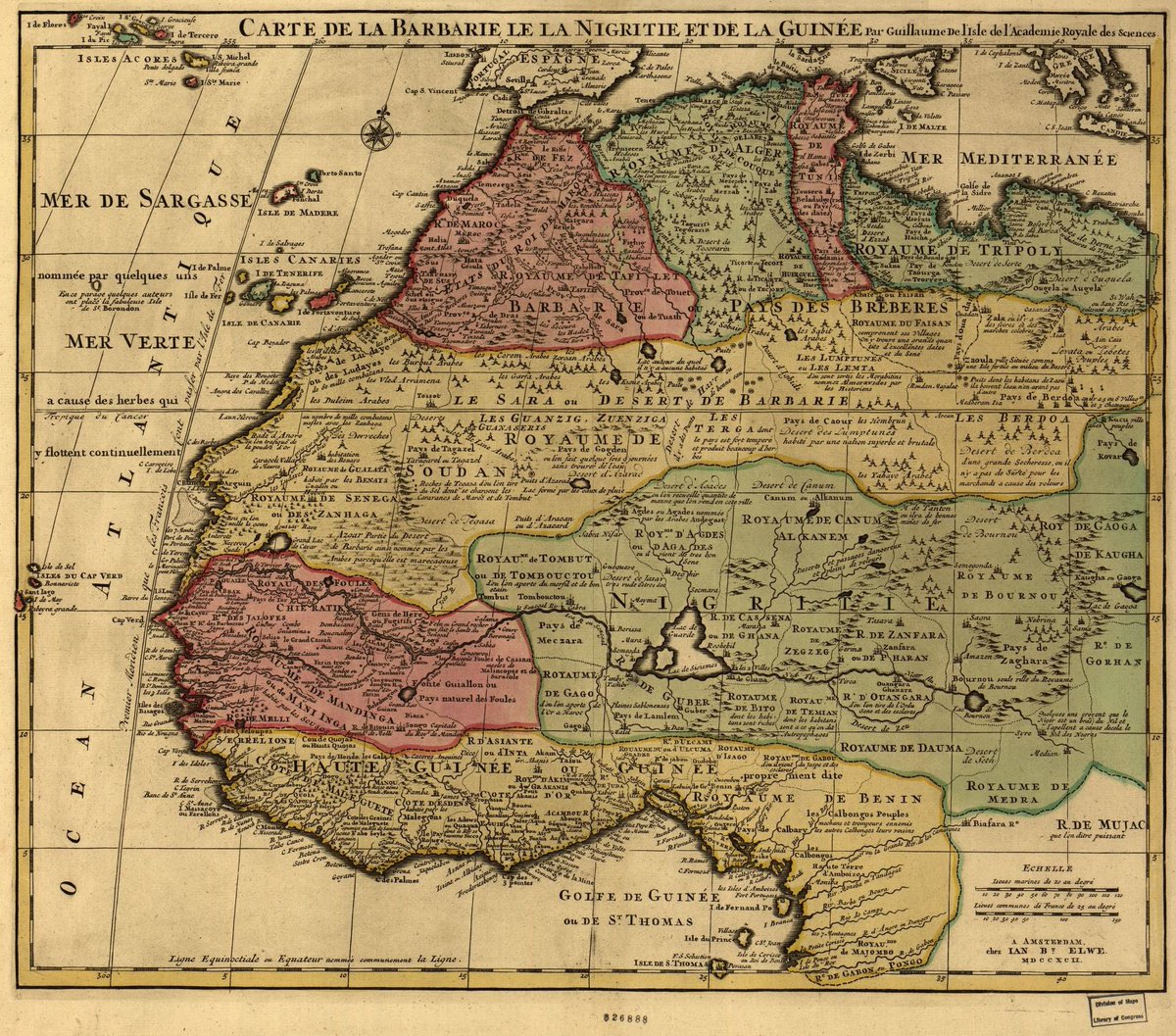
The Library of Congress map dated 1718 by l’isle of the Barbarie cost, Nigritie and Guinee, which shows the region of Nigritie/Negroland and the Kingdom of Juda at the ‘slave coast’
The link for the Library of Congress map dated 1718 of Nigritie / Negroland and that also shows the kingdom of Juda at the slave coast https://www.loc.gov/item/2005625339/
The Library of Congress map dated 1725 AD by English cartographer Senex of the land of Africa that includes the region called Negroland
The link for the Library of Congress map dated 1725 AD of Africa that includes the region of Negroland https://www.loc.gov/item/2005625330/
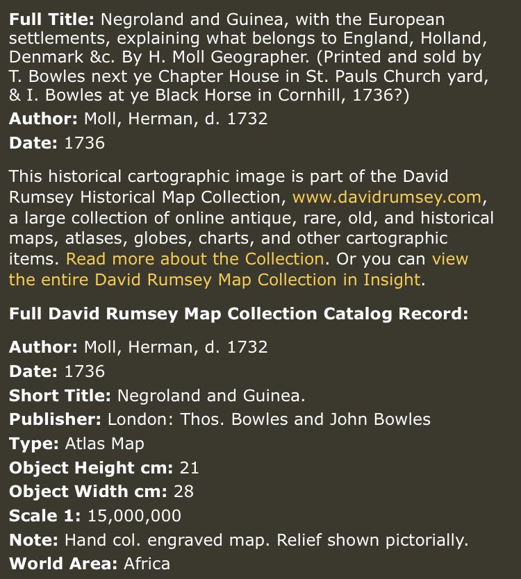
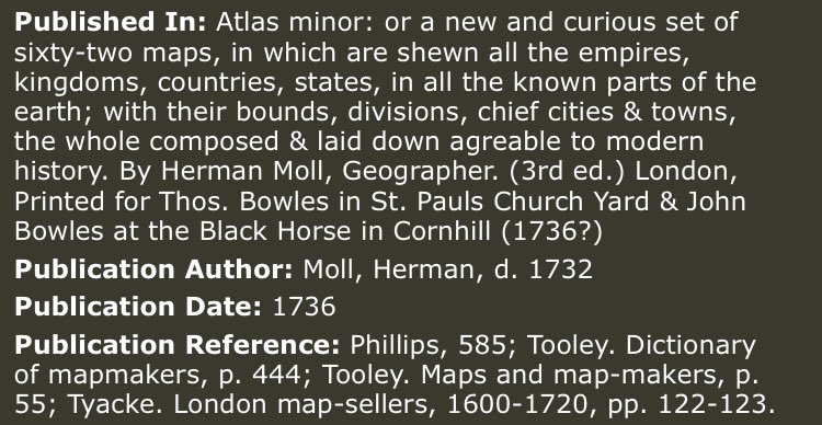
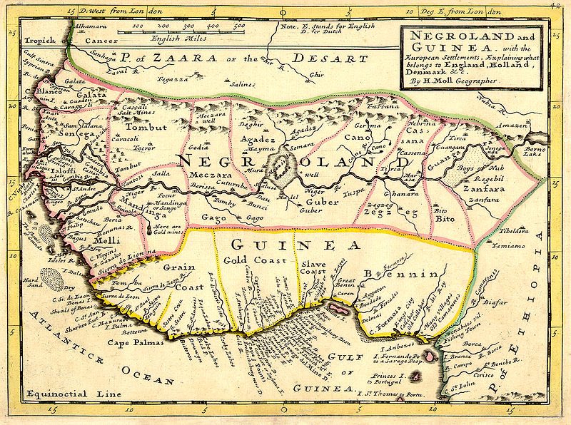
The David Rumsey Cartography Associates map dated 1736 AD by map maker Moll, included in Atlas Minor, of Negroland and Guinea
The link to the David Rumsey copy of the 1736 AD map by Moll of Negroland and Guinea http://www.davidrumsey.com/maps4497.html
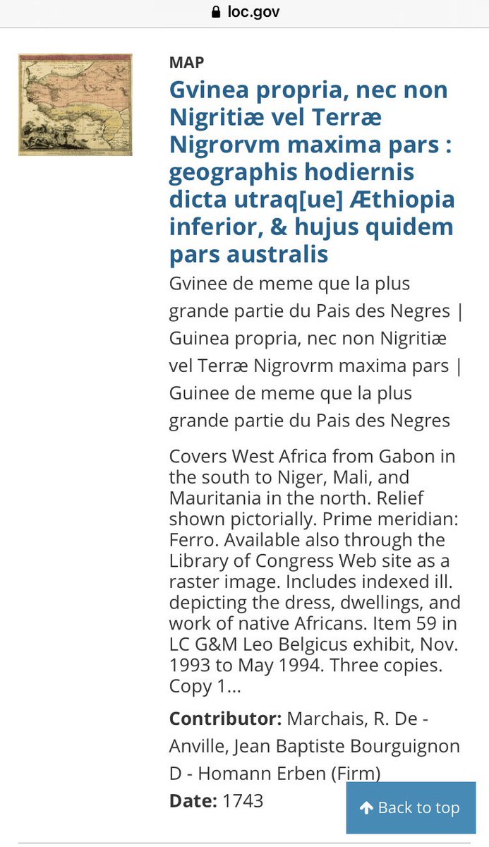
The Library of Congress map dated 1743 map of West Africa that shows the region/kingdom of Terra Nigritarum, which is Negroland
The link for the Library of Congress map dated 1743 AD that shows the Terra Nigritarum https://www.loc.gov/item/96687096/
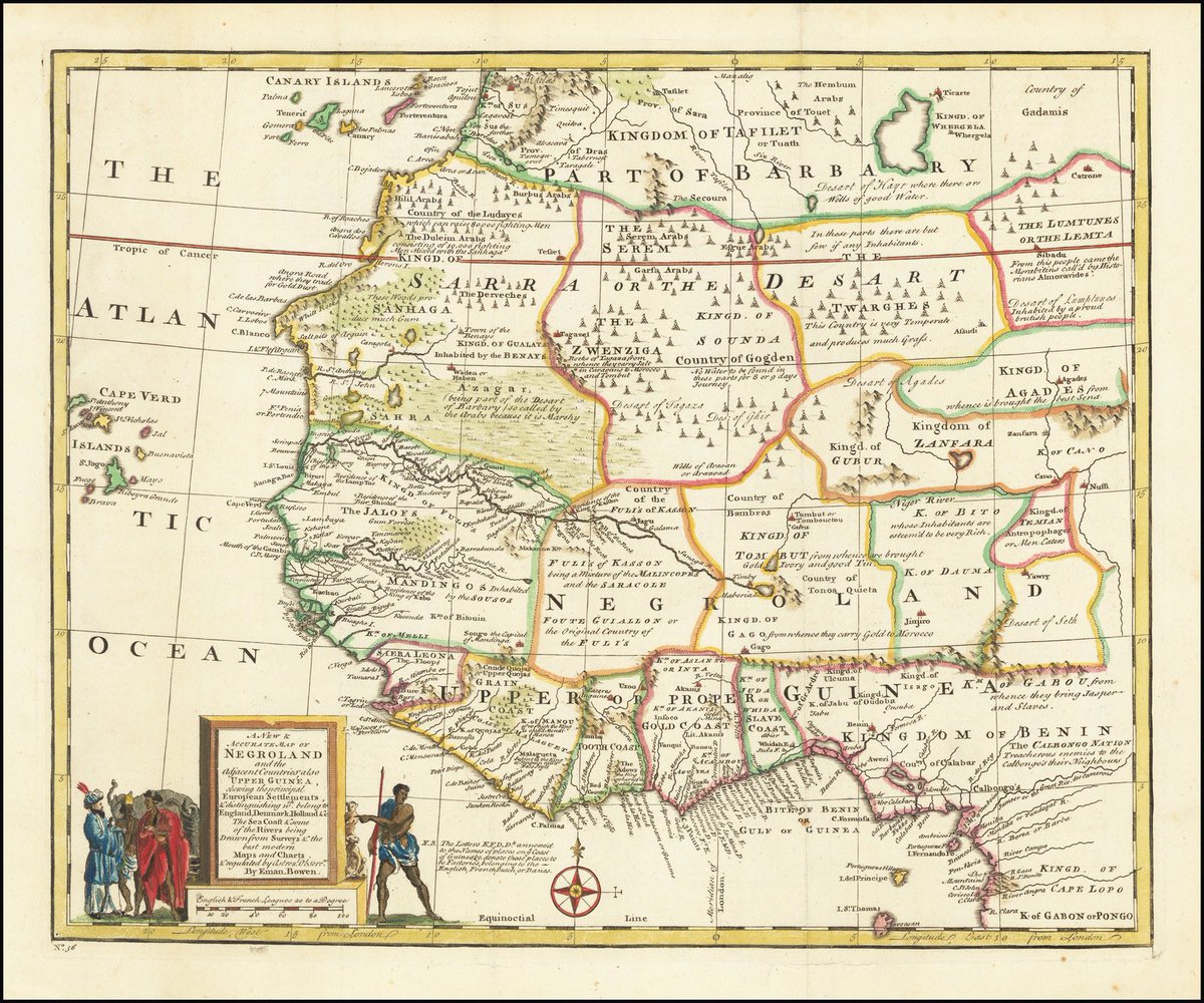
The BLR Rare Maps colored map dated 1744 by Bowen of West Africa that shows Negroland and the kingdom of Juda at the slave coast
The BLR Rare Maps link for the 1744 AD map by Bowen of West Africa that shows Negroland and the kingdom of Juda near the slave coast https://www.raremaps.com/gallery/detail/14748/a-new-accurate-map-of-negroland-and-the-adjacent-countries-bowen
The BLR Rare Maps of map dated 1747 AD by Bowen of Negroland and adjacent countries, denoting in the map title that Negroland is a country
The BLR Rare Map link to the 1747 AD map by Bowen of Negroland https://www.raremaps.com/gallery/detail/67225/a-new-accurate-map-of-negroland-and-the-adjacent-countries-bowen
The Swaen map link dated 1760 AD by Rollos of Negroland and Guinea https://www.swaen.com/antique-map-of.php?id=25769
The Stanford University map dated 1767 AD by Bowen of Africa which includes the country of Negroland
The Stanford University link for the map dated 1767 AD by Bowen of Africa that includes Negroland https://exhibits.stanford.edu/maps-of-africa/catalog/ts568cv2263
The Library of Congress link of the map dated 1792 AD by L’isle that shows Nigritie https://www.loc.gov/item/98687196/
The Smithsonian Institute map dated 1799 of West Africa which includes the country entitled ‘the land of the Negros’
The Smithsonian Institute link for the map dated 1799 AD of West Africa that shows ‘the land of the Negros’ http://edan.si.edu/slideshow/viewer/?eadrefid=EEPA.1991-001_ref81
The Smithsonian Institute link for the map dated 1805 AD of Africa that includes Nigritia http://edan.si.edu/slideshow/viewer/?eadrefid=EEPA.1991-001_ref87
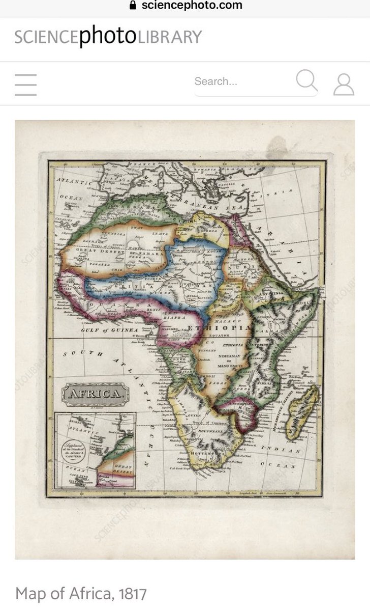
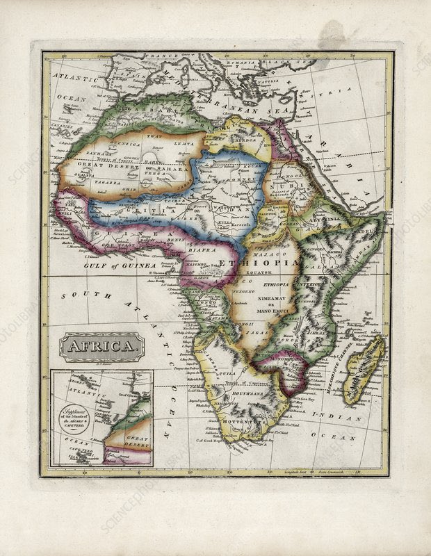
The Science Photo Library map dated 1817 AD that shows in the area of Negroland this map says ‘or Sudan’
The link for the Science Photo Library map dated 1817 AD that shows Negroland as being called ‘Sudan’ by this cartographer https://www.sciencephoto.com/media/722989/view/map-of-africa-1817
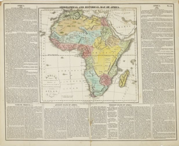
The Smithsonian Institute map dated 1821 AD of a Geographal and Historical map of Africa, and shows the country of Nigritia
The Smithsonian Institute link for the map dated 1821 AD of Africa that shows Nigritia http://edan.si.edu/slideshow/viewer/?eadrefid=EEPA.1991-001_ref101
The Smithsonian Institute link for the map dated 1834 AD of Africa that shows Soudan where Negroland was on previous maps http://edan.si.edu/slideshow/viewer/?eadrefid=EEPA.1991-001_ref114
The Smithsonian Institute map dated 1840 AD of Africa that shows ‘Nigritia or Soudan’ in the region of Negroland
The Smithsonian Institute link for the map dated 1840 AD of Africa http://edan.si.edu/slideshow/viewer/?eadrefid=EEPA.1991-001_ref117
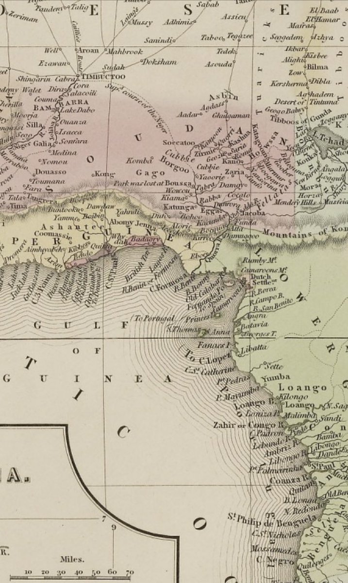
The Library of Congress map dated 1909 AD of Africa by treaty which shows part of Negroland and Guinea being called North Nigeria and South Nigeria in the area where the ‘slave coast’ was
The Library of Congress link to the map dated 1909 AD for the African Treat map that shows Nigeria where Negroland and Guinea had been around the ‘slave coast’ https://www.loc.gov/item/99446110/
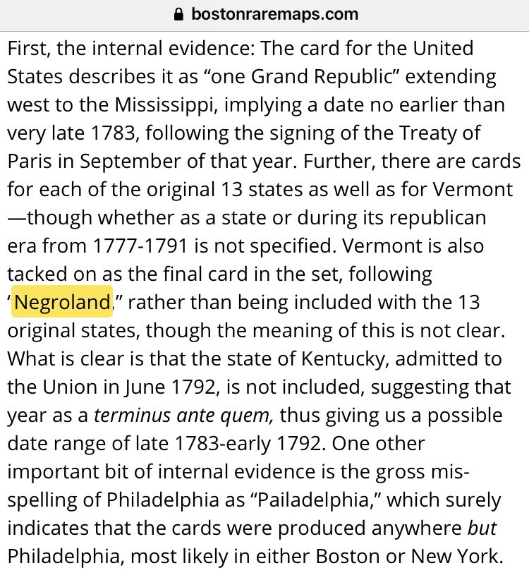
The Boston Rare Maps shows a set of, printed in the United States, Geographal Cards / Flash Cards from 1786-1792 AD which includes the 13 original American states and the world countries of importance, including a card for Negroland, estimated population 7,000,000 at that time
The link to Boston Rare Maps geographical cards from 1786 AD which includes Negroland https://bostonraremaps.com/inventory/18th-century-geographical-playing-cards/
This concludes the first portion of this thread, which had the goal of showing undoubtably a part of Africa existed which was referred to by European map makers and explorers/naval captains/merchants as Negroland

 Read on Twitter