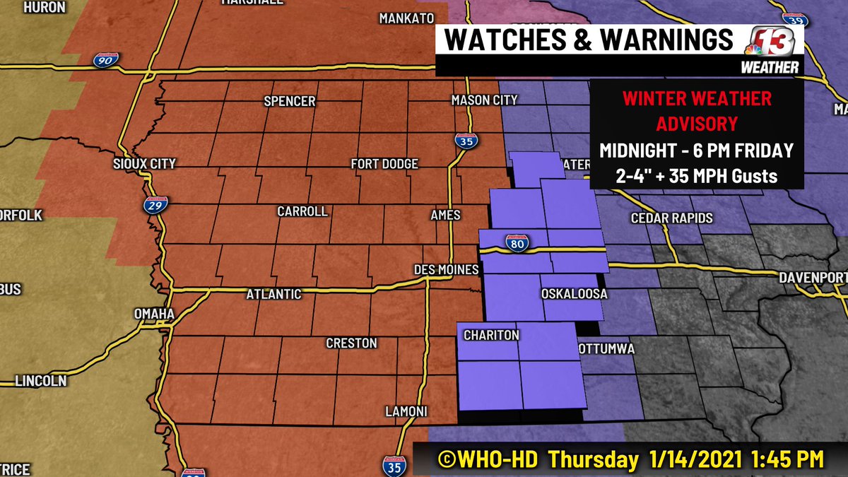
((THREAD)) If you haven't heard yet, there is a Blizzard Warning for those along and west of I-35. Sadly we're not talking about ice cream here, so listen up!
The system we talked about yesterday deepened a lot more overnight (deepen=stronger) and will drop more snow/bring more wind to parts of central and western Iowa especially.
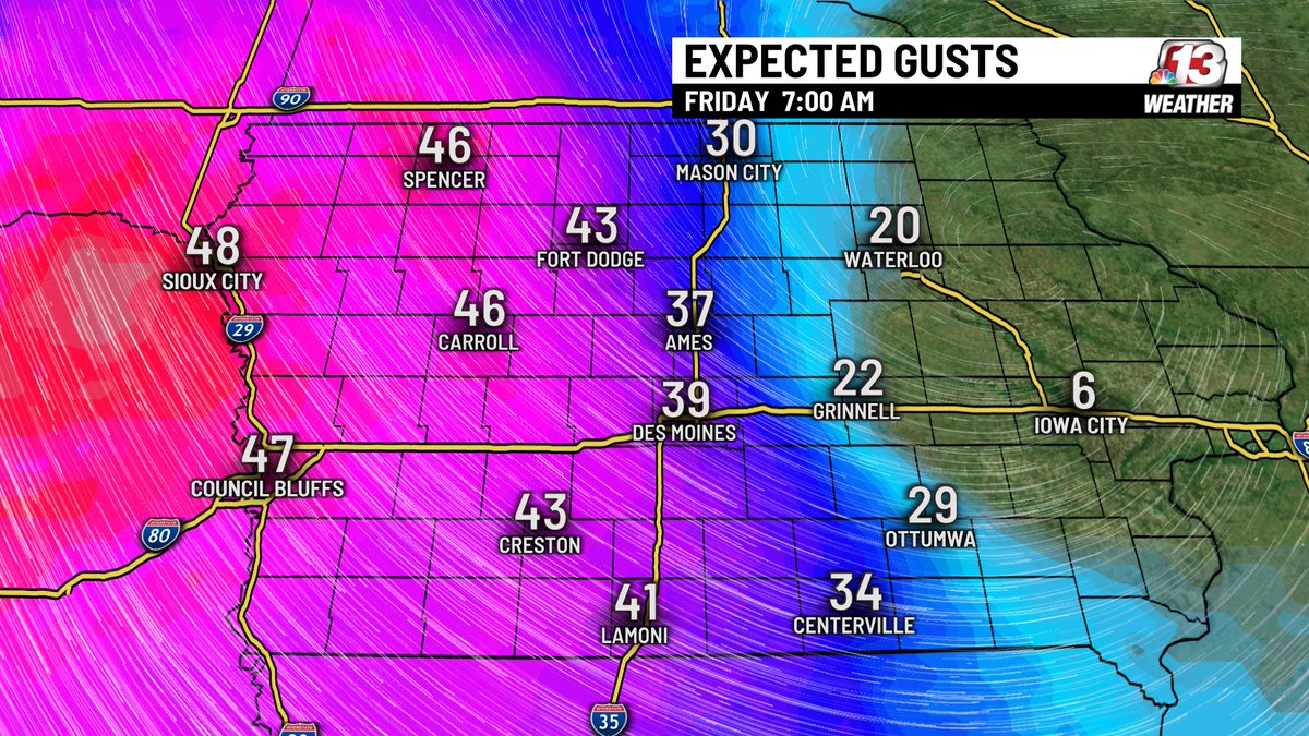
Things are pretty clear cut here, overnight and early Friday snow will fall as the wind gusts between 40-50 mph out of the northwest. This will create blizzard conditions (aka cannot see to the edge of your car/driveway/etc).
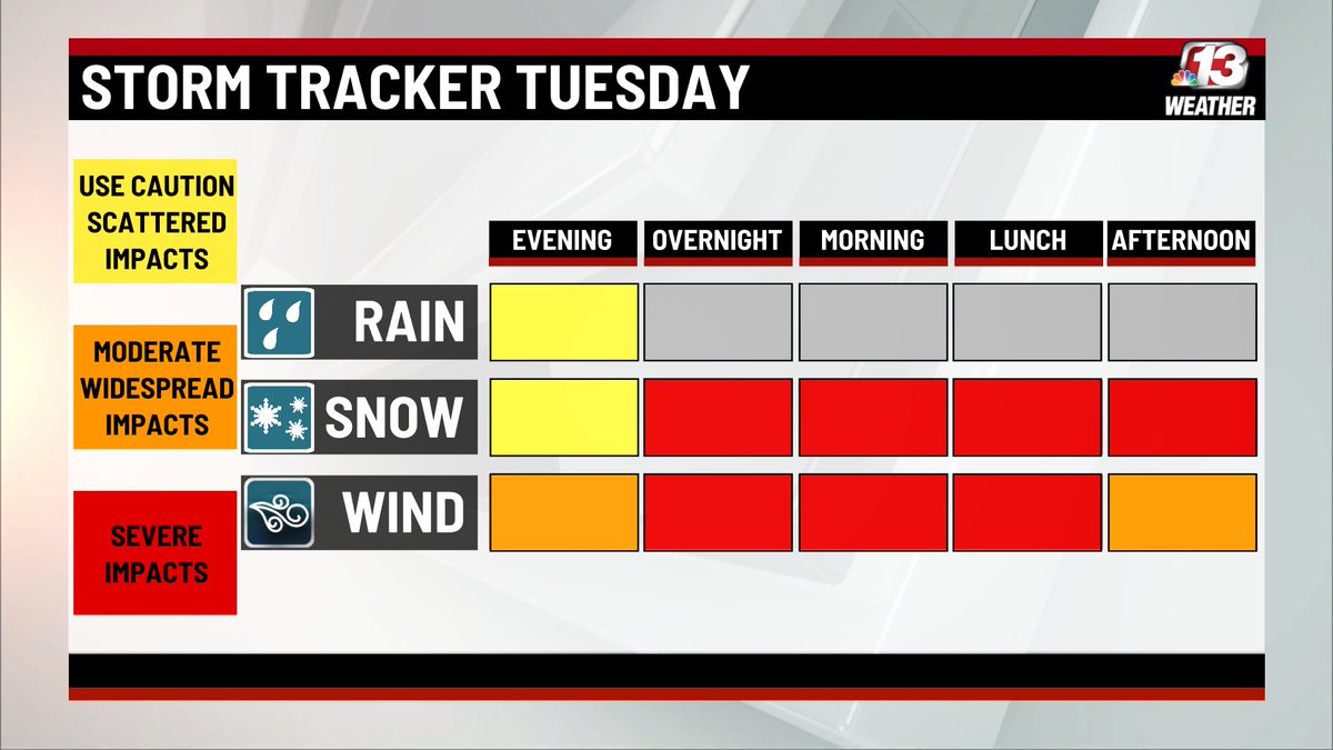
This will be very dangerous. Travel will be impossible in some areas. Yes, even parts of the metro may experience this. Plan accordingly for the next 24 hours.
Other notes: Those east of I-35 are in a Winter Weather Advisory (purple).
Other notes: Those east of I-35 are in a Winter Weather Advisory (purple).
There will not be as much snow or wind in this area, but use caution when traveling.
***SNOW TOTALS*** When it comes to snowfall totals, do not focus on individual totals. Because of the wind, snow will be extremely difficult to measure.
***SNOW TOTALS*** When it comes to snowfall totals, do not focus on individual totals. Because of the wind, snow will be extremely difficult to measure.
There will be drifts....Example: say we get 5" of snow...there could be drifts twice that amount and more, and there could be some that barely cover the pavement.
FOCUS ON THE IMPACTS....snow covered roads, extreme wind, white out conditions, etc.
FOCUS ON THE IMPACTS....snow covered roads, extreme wind, white out conditions, etc.

 Read on Twitter


