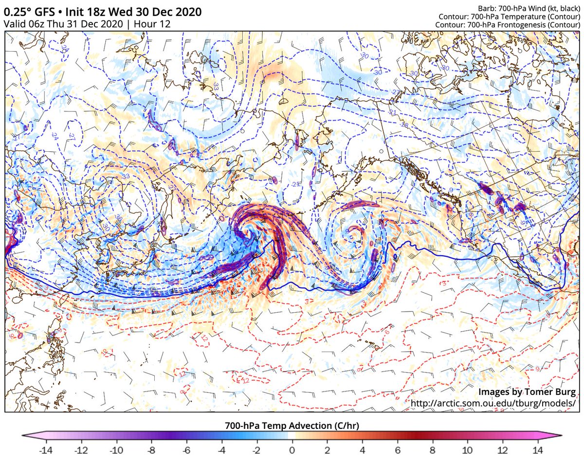
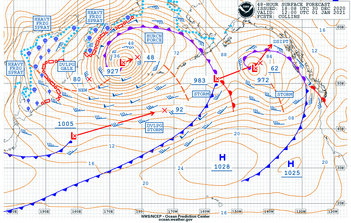
18z GFS takes this Pacific storm down to 919mb and it's easy to see why. It's in the left exit region of a strong 200kt+ jet streak coming off of Asia and a right entrance region of a jet streak. This promotes mass divergence aloft allowing for a rapid deepening of the storm.
On top of the divergence aloft, there's a strong temperature advection which further enhances the frontal boundaries. As the cold air mass moves south and the warm air mass moves north, it rotates cyclonically helping to create +PVA in the area allowing the storm to deepen.

 Read on Twitter


