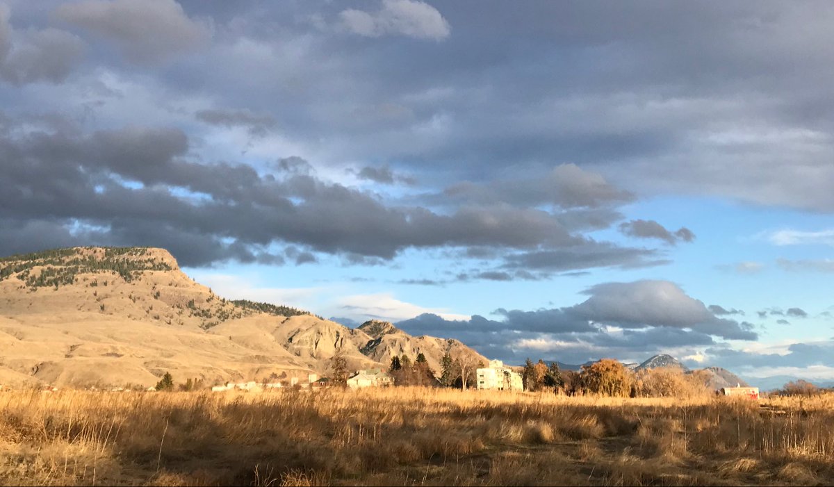
I want to talk about how “agriculture lands” in Canada ended up that way (theft, that’s how!), and how farmland conservation fits into the story of Indigenous dispossession.
I’ve got an example that starts 8,000 years ago.
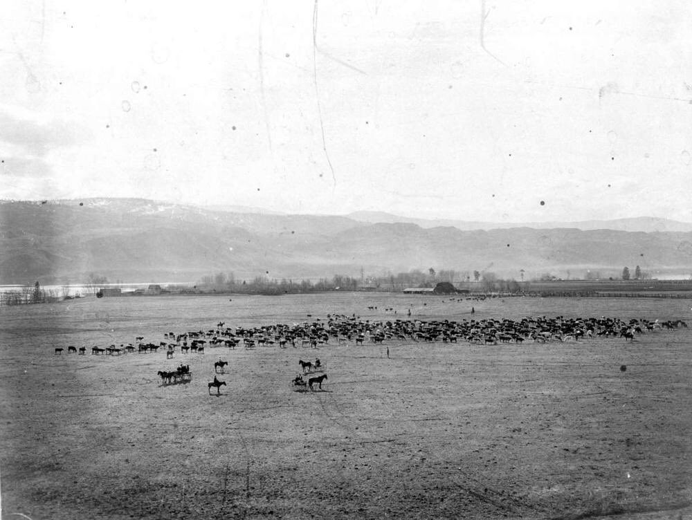
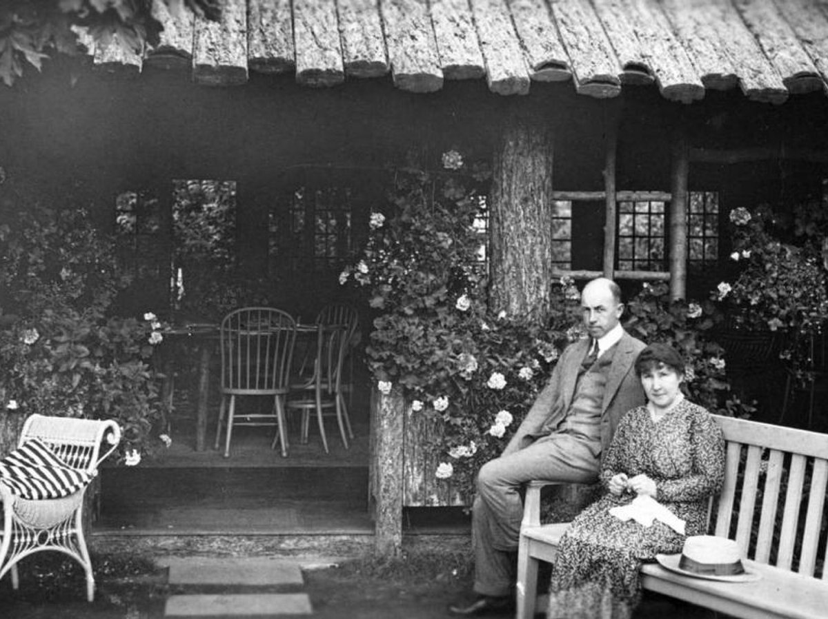
( Tranquille, 1906) 1/
I’ve got an example that starts 8,000 years ago.
(
 Tranquille, 1906) 1/
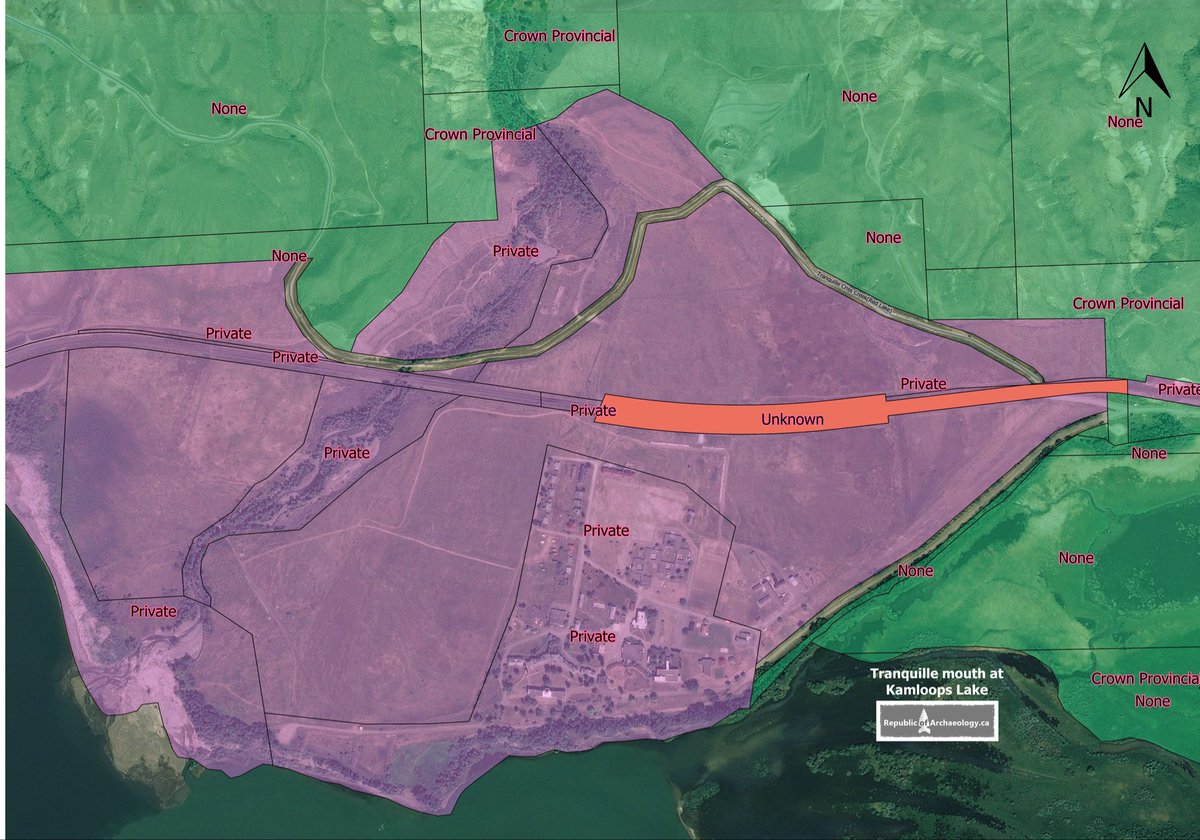
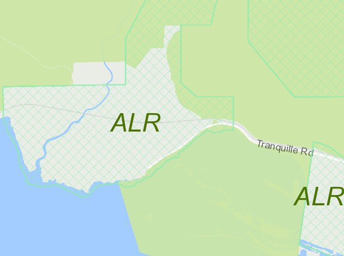
Right now in Kamloops, there’s chatter about a development project at Tranquille. The big issue is removing land from the Agricultural Land Reserve (ALR). But why are these lands, in the heart of Secwepemculewc, in the ALR, anyway? Theft, that’s why! 2/ https://www.radionl.com/2020/12/16/major-tranquille-on-the-lake-development-proposal-resurfaces-in-kamloops/
The mouth of the Tranquille River at the east end of Kamloops Lake has *always* been a desirable spot. I wrote about what a preliminary study tells us of the incredible archaeological record of continuous Secwepemc occupation here: https://www.kamloopsthisweek.com/community/dig-it-the-oldest-neighbourhood-in-kamloops-1.24259071 3/
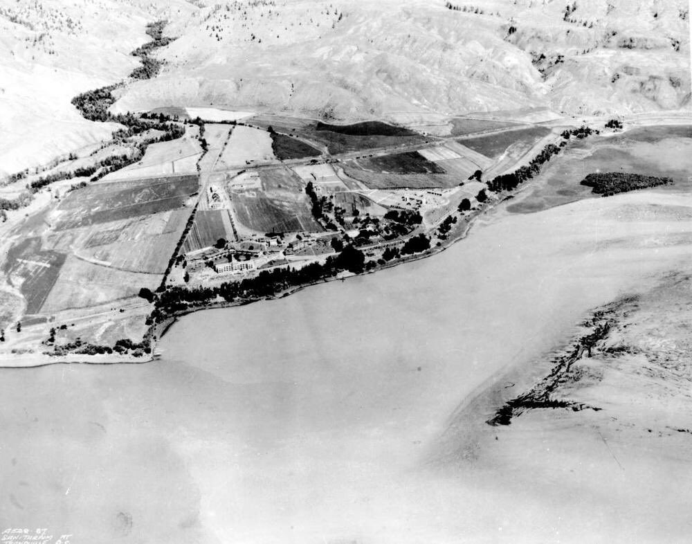
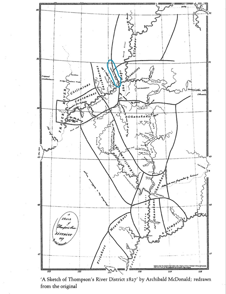
In the early 19th century, fur traders found a Stk’emlups village at the river’s outlet, led by a man called Piqwemús. They nicknamed him Tranquille, giving this name to the whole river system and surrounding area. ( 1928 aerial, map, 1827. 4/
 1928 aerial, map, 1827. 4/
Stk’emlups themselves called it “Pellqweqwile”, from the word for biscuit root (aka desert parsley, lomatium macrocarpum), a much-valued food that was harvested, and potentially cultivated here. 5/
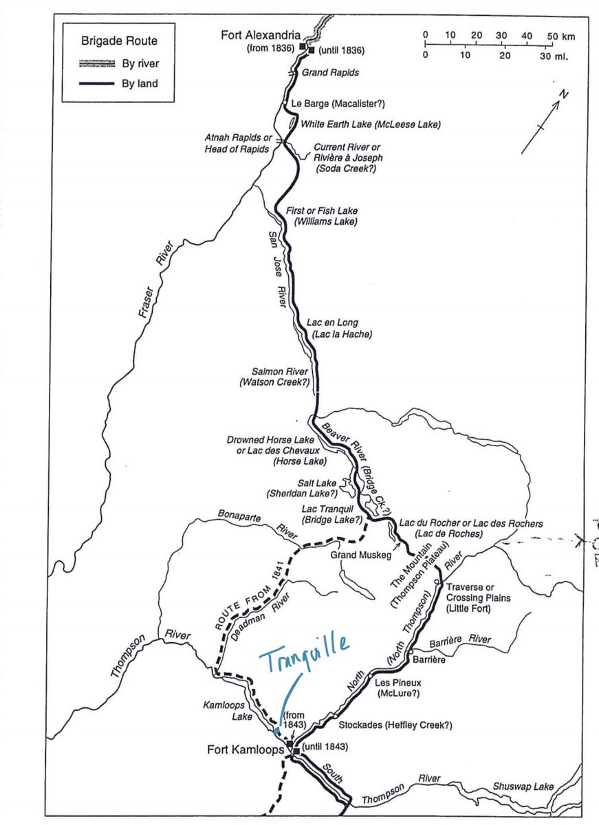
The giant alluvial fan on which the Tranquille village sat became a strategic fur trade location in the steep, rock bluff landscape of Kamloops Lake, and by 1840, the HBC brigade trail between Kamloops and Fort Alexandria on the Fraser cut right through the place. 6/
When Tranquille (Piqwemús) died “mysteriously” in 1840 (a whole other story) the area was put to hay—a crucial commodity in a regional trade dependent on livestock.
The land was not sold, surrendered, or treatied.
It was just taken. For agriculture. ( 1902, Tranquille) 7/
The land was not sold, surrendered, or treatied.
It was just taken. For agriculture. (
 1902, Tranquille) 7/
In the fall of 1862 a smallpox epidemic burned across BC, so virulent and swift that by summer of 1863, 60-90% of Secwepemc were dead. Entire lineages and communities were gutted, including the one at Tranquille. And into this landscape moved settler farmers. 8/
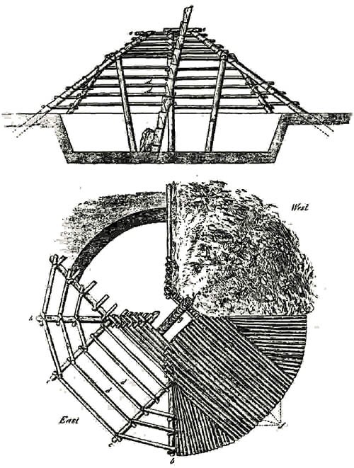
Tranquille was homesteaded by 1870, before the empty Secwepemc villages had even decayed. Settler Wm Fortune is credited with this “first house at Kamloops”, which so closely resembles a Secwepemc pithome that it seems likely his shelter was just that: a repurposed c7ístkteń. 9/
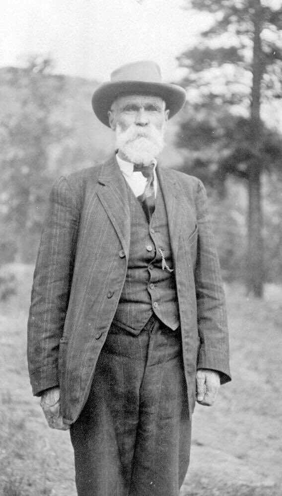
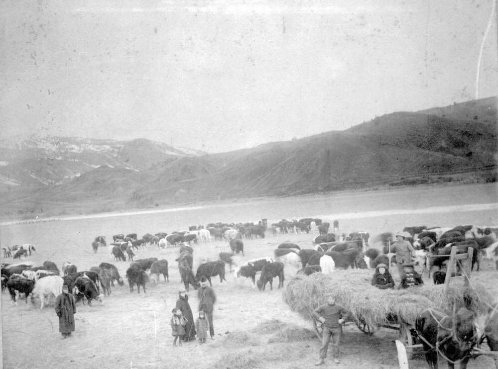
These families farming at Tranquille solidified its agricultural status, and they grew wealthy raising livestock and feed on that land that had been Secwepemc for hundreds of generations ( Cooney, 1900, Fortune’s home at Tranquille, 1899, Fortune’s steers, 1900) 10/
 Cooney, 1900, Fortune’s home at Tranquille, 1899, Fortune’s steers, 1900) 10/
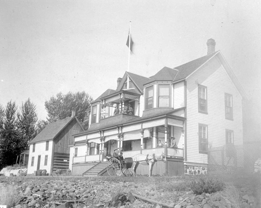
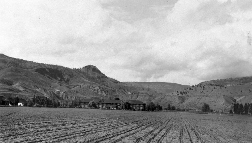
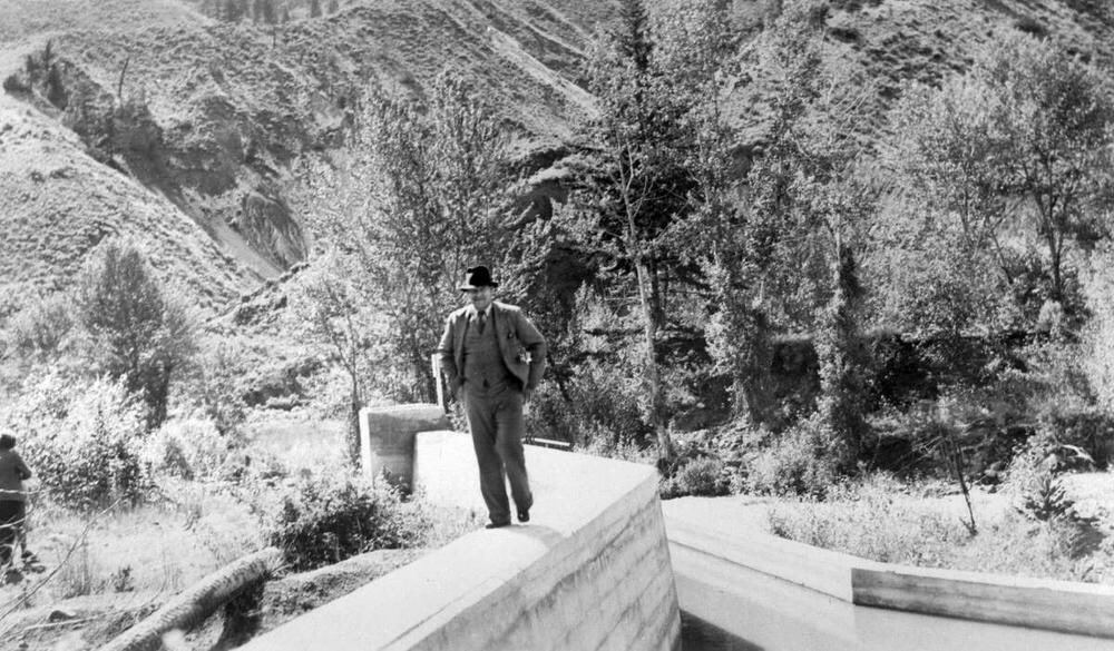
By 1906 some of the land was turned over for the King Edward VII Sanitorium, a tuberculosis hospital. This meant more farming, and more water, & eventually the Tranquille River was dammed that purpose ( Fields at the San, nd, dam, 1939) 11/
 Fields at the San, nd, dam, 1939) 11/
By 1920, as Tranquille settlers rose to prominence in Kamloops and the San grew to a Victorian oasis, Secwepemc population was lowest on record.
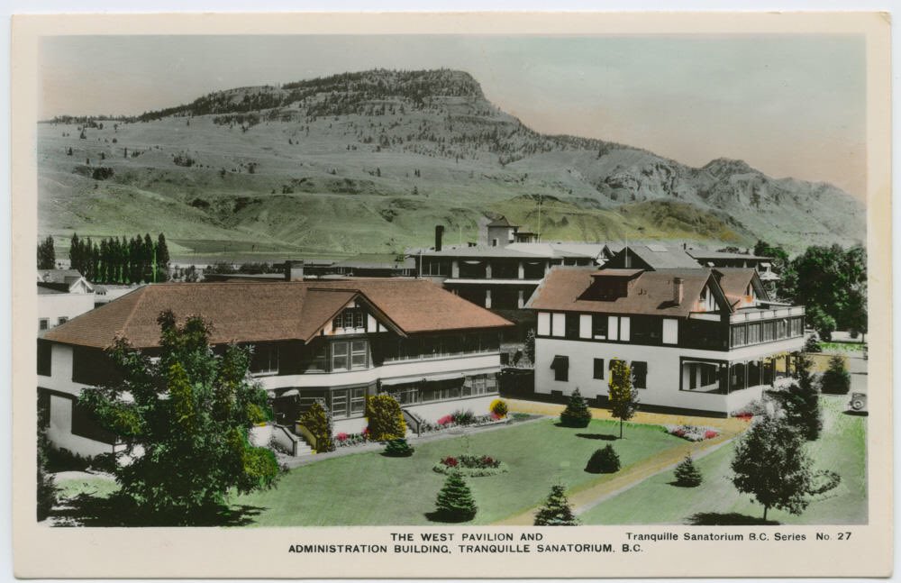
Surviving Stk’emlupsemc were confined to reserves & prohibited by discriminatory laws from any economic opportunity ( San, 1930s) 12/
Surviving Stk’emlupsemc were confined to reserves & prohibited by discriminatory laws from any economic opportunity (
 San, 1930s) 12/
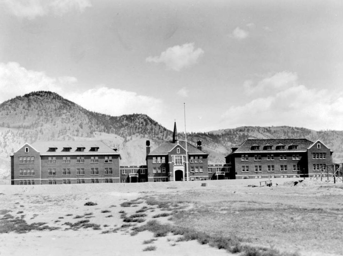
This isn’t two separate pasts—this is is one history. The wealth & status enjoyed by white settlers was generated & sustained at the expense of Secwepemc. You can’t tell one part of the story without knowing the other. ( Kamloops residents & Indian Residential School, 1930s) 13/
 Kamloops residents & Indian Residential School, 1930s) 13/
Canadians’ reverence of farming as the height of settler purity, as an unequivocal good, has created whole systems (like the Agricultural Land Commission and the ALR) that preserve the status quo, and obscure the fact that farmed land is stolen land. 14/
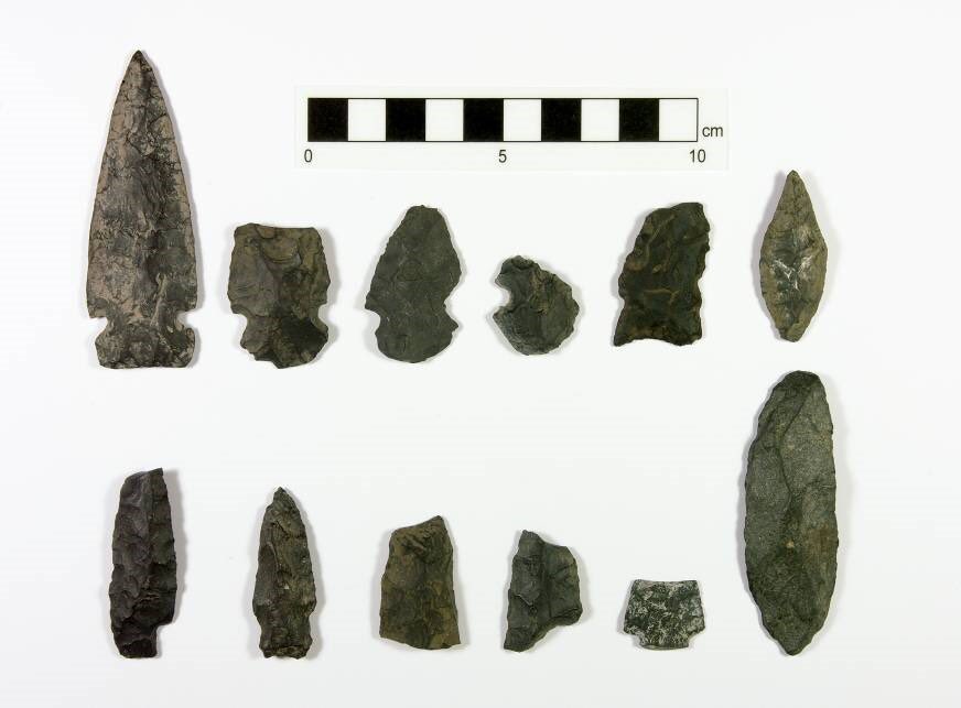
Secwepemc ancestors occupied Tranquille for *almost the entire Holocene epoch*. They left an unbelievably dense and detailed record of occupation—archaeological, oral and textual histories—that satisfy western evidentiary standards for ownership & title. ( Madrone 2010) 15/
 Madrone 2010) 15/
And here we are, on the brink of 2021, considering the future of this substantial geographic and cultural treasure without acknowledging this history? Are we actually contemplating starting another brutal chapter in the ongoing dispossession? Fuck no. https://www.kamloopsthisweek.com/news/tranquille-project-manager-says-billion-dollar-development-plan-is-for-kamloops-1.24259590 16/
There’s another option, of course: give the #LandBack to those we stole it from. The AL Commission, as successor to the farmers who settled stolen land, has maintained a discriminatory status quo and has a role to play in reconciliation, even restitution. Property owners too. 17/
When we think and talk about developing a place like Tranquille, we *must* question our own assumptions about what, and who, “belongs” there, and why.
That’s part of the work in rebalancing our relationships with Secwepemc hosts. *That’s* how we make Kamloops for everyone. 18/18
That’s part of the work in rebalancing our relationships with Secwepemc hosts. *That’s* how we make Kamloops for everyone. 18/18
Program notes  : “Stk’emlupsemc” is the term for the Tk’emlups and Skeetchestn peoples, one traditional “campfire” of the Secwepemc Nation. At contact, people from both communities inhabited villages/territories around Kamloops Lake and the Thompson Rivers.
 : “Stk’emlupsemc” is the term for the Tk’emlups and Skeetchestn peoples, one traditional “campfire” of the Secwepemc Nation. At contact, people from both communities inhabited villages/territories around Kamloops Lake and the Thompson Rivers.
Photos/maps in tweets 1, 4, 11, 12 are from BC Archives.
Photos in tweets 7, 9, 10, 13, 14 are from Kamloops Museum and Archives
Drawing in tw 9 from J Teit 1900
Artifacts in tw 15 are from Madrone’s 2010 AIA report on file w Arch Branch
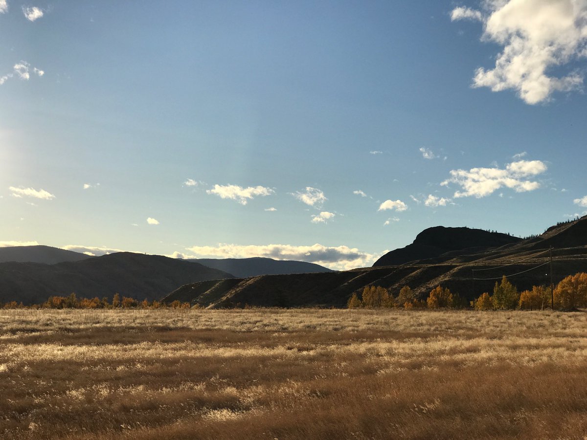
Modern photos mine.
Photos in tweets 7, 9, 10, 13, 14 are from Kamloops Museum and Archives
Drawing in tw 9 from J Teit 1900
Artifacts in tw 15 are from Madrone’s 2010 AIA report on file w Arch Branch
Modern photos mine.

 Read on Twitter