The Gearagh
Ebb and flow of a unique inland delta.
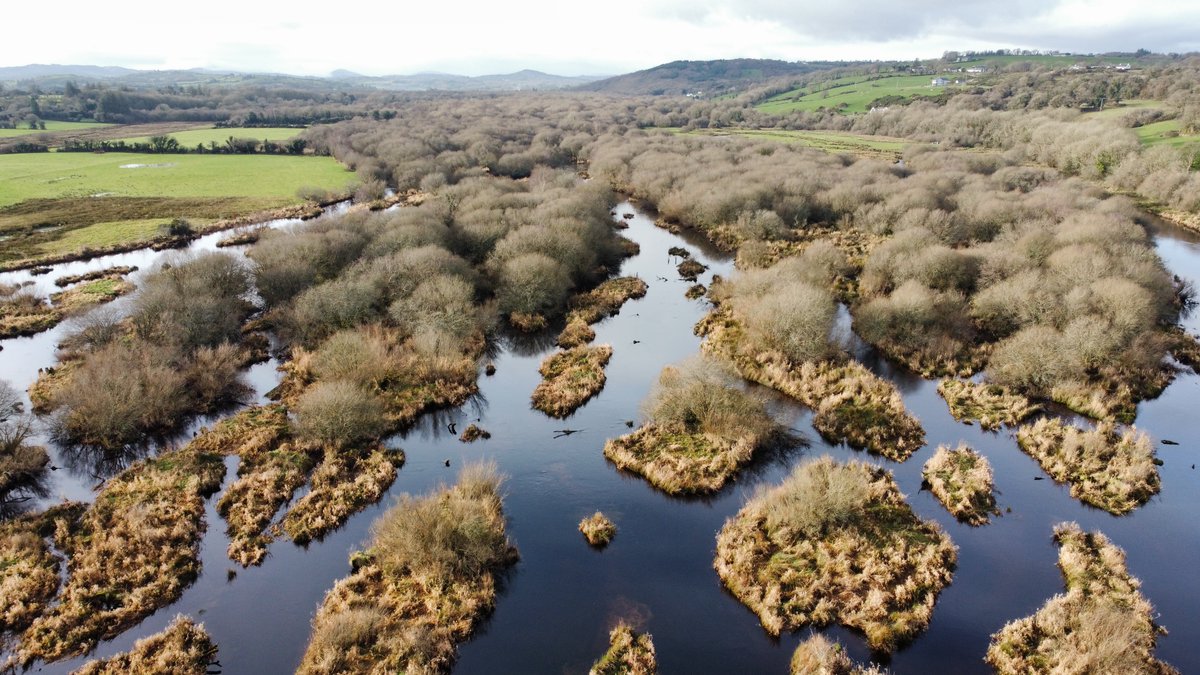
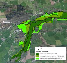
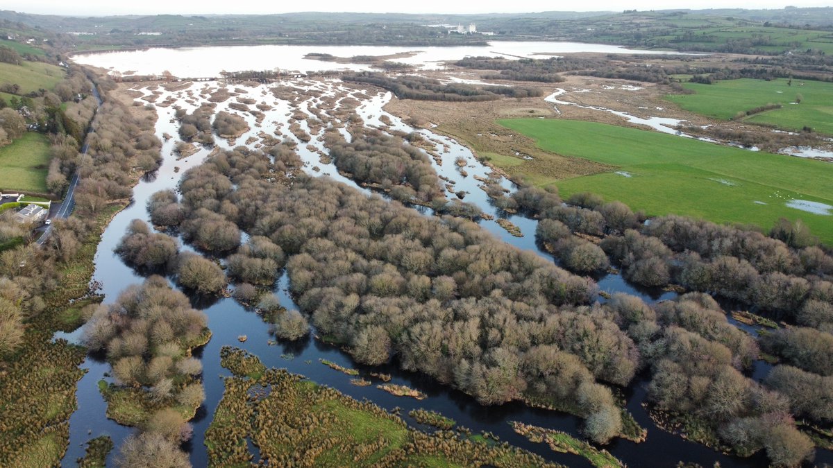
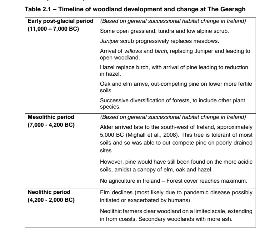
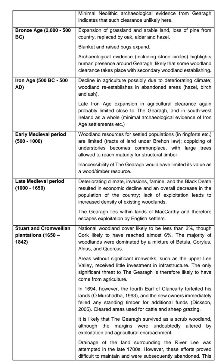
Parts of the Gearagh are believed to exist for 8000 years. Expanding and contracting over time in response to human pressures.
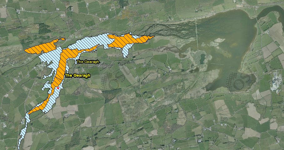
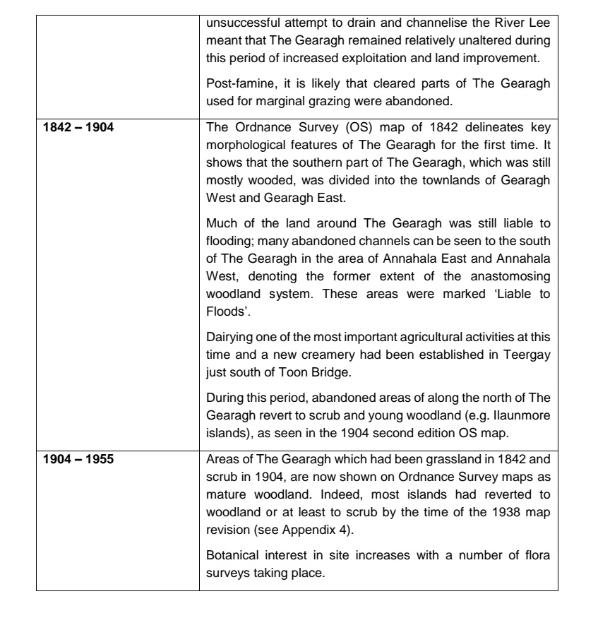
In the 1950s much of the oak was clear-felled and the valley flooded for a hydroelectric scheme
Ebb and flow of a unique inland delta.
Parts of the Gearagh are believed to exist for 8000 years. Expanding and contracting over time in response to human pressures.
In the 1950s much of the oak was clear-felled and the valley flooded for a hydroelectric scheme
Historically the forests inaccessibility prevented outright exploitation. It was spared felling by the first wave of colonial settlers as the lands lay on McCarthy territory.
As well as this, the absence of significant ironworks in the area meant relatively lower demand for fuel
As well as this, the absence of significant ironworks in the area meant relatively lower demand for fuel
Post famine the area of the forest grew in response to reduce population pressure.
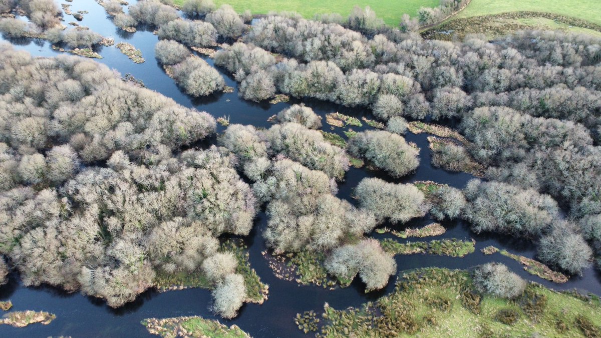
Since the dam construction in the fifties there has also been woodland recolonisation of the delta islands although there are fears for the braided river structure due to changing local hydrology
Since the dam construction in the fifties there has also been woodland recolonisation of the delta islands although there are fears for the braided river structure due to changing local hydrology
1840s maps overlayed with current aerial photography show the impact of flooding on the extensive alluvial oak forest. It is thought roughly forty percent remains today...and is expanding.
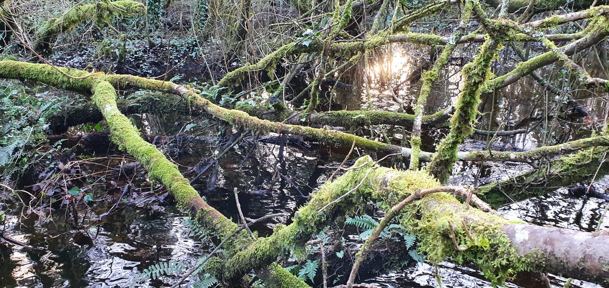
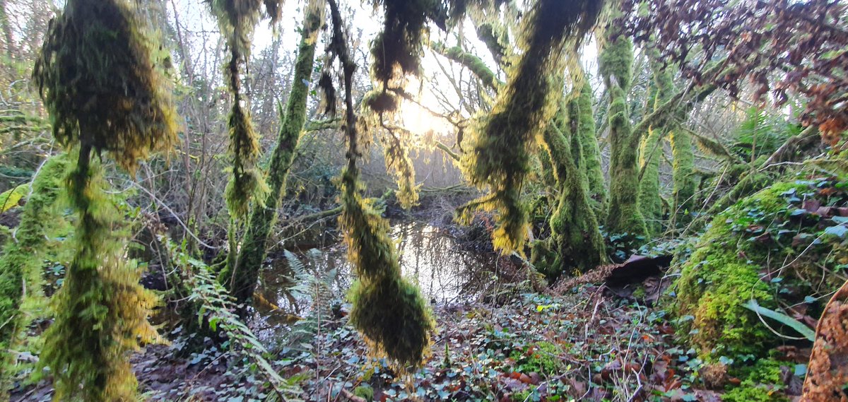
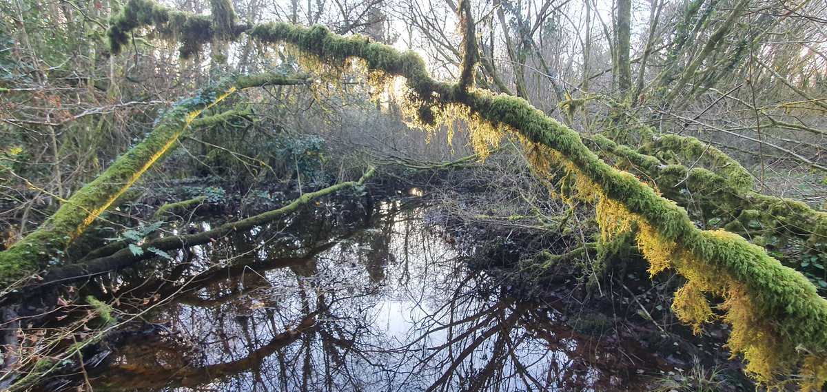
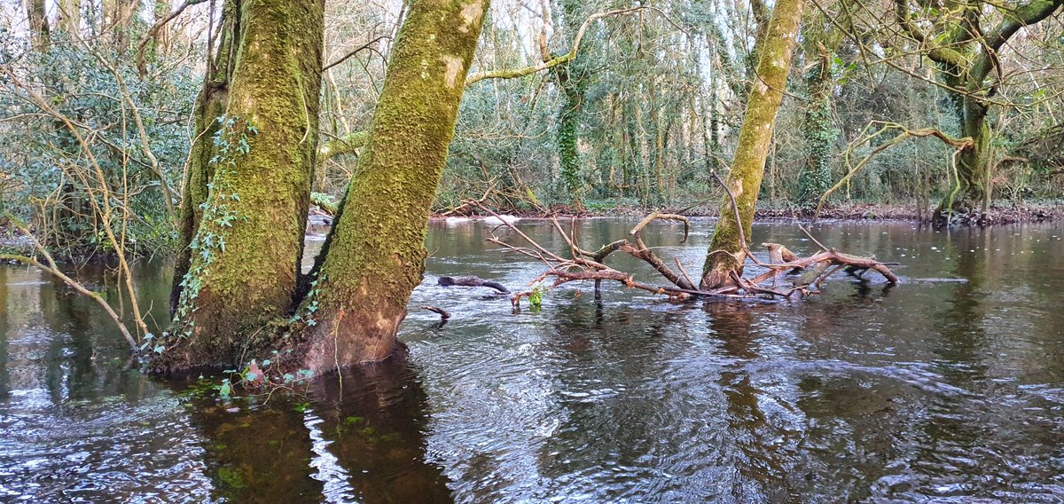
Extensive woodlands of sessile oak, willow and alder persist upstream of the flooded area.
There has been lots of work done locally to bring about the restoration of this unique place, thought to be one of only four inland deltas in the world.
It would be great to see that day!
There has been lots of work done locally to bring about the restoration of this unique place, thought to be one of only four inland deltas in the world.
It would be great to see that day!

 Read on Twitter