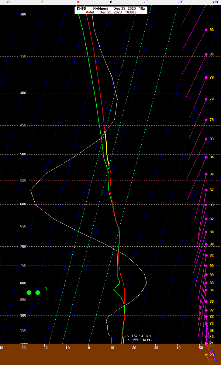
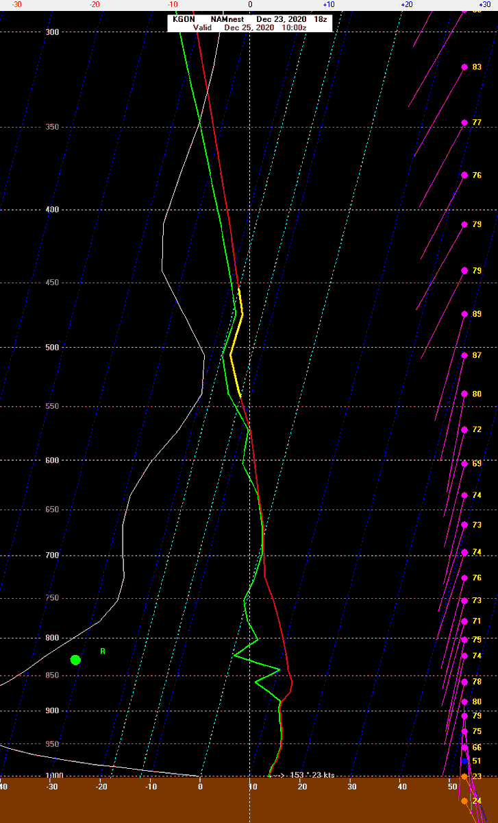
With water temperatures in the Sound near 40 degrees the strongest wind gusts will likely be just inland from the Sound. The NAM model here shows a more stable temperature profile at Groton than at Hartford. This is why we have a similar gust forecast statewide.
The NAM is the most "stable" and inverted which would result in a more modest event. The GFS, on the other hand, has a much more unstable low level temperature profile which would promote better mixing and stronger winds. We're taking a blend of both for our forecast.
The result is 55-65 mph wind gusts across the state.
One thing worth watching is the potential for more uprooted trees than normal due to saturated soil from melting snow and 2"-3" of rain. We saw this in March 2010 in Fairfield County.

 Read on Twitter


