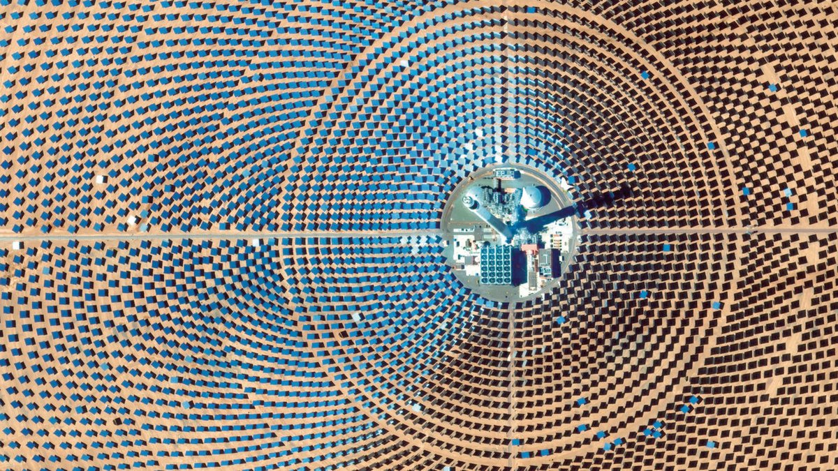
@DOverview's satellite images are striking reminders of the scale of climate change.
A thread of some of their stunning photos that underscore the scale of (a few of) climate change's:
- Energy Drivers
- Land Use Drivers
- Transport Drivers
- Effects
- Potential Solutions
A thread of some of their stunning photos that underscore the scale of (a few of) climate change's:
- Energy Drivers
- Land Use Drivers
- Transport Drivers
- Effects
- Potential Solutions
Some (energy/industry) drivers of climate change
1. Coal port in China
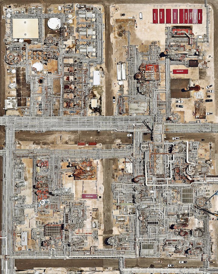
2. Oil refinery in Texas
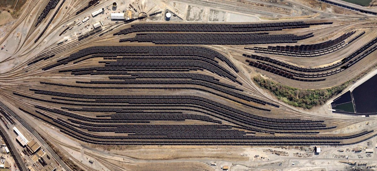
3. Coal trains in Virginia
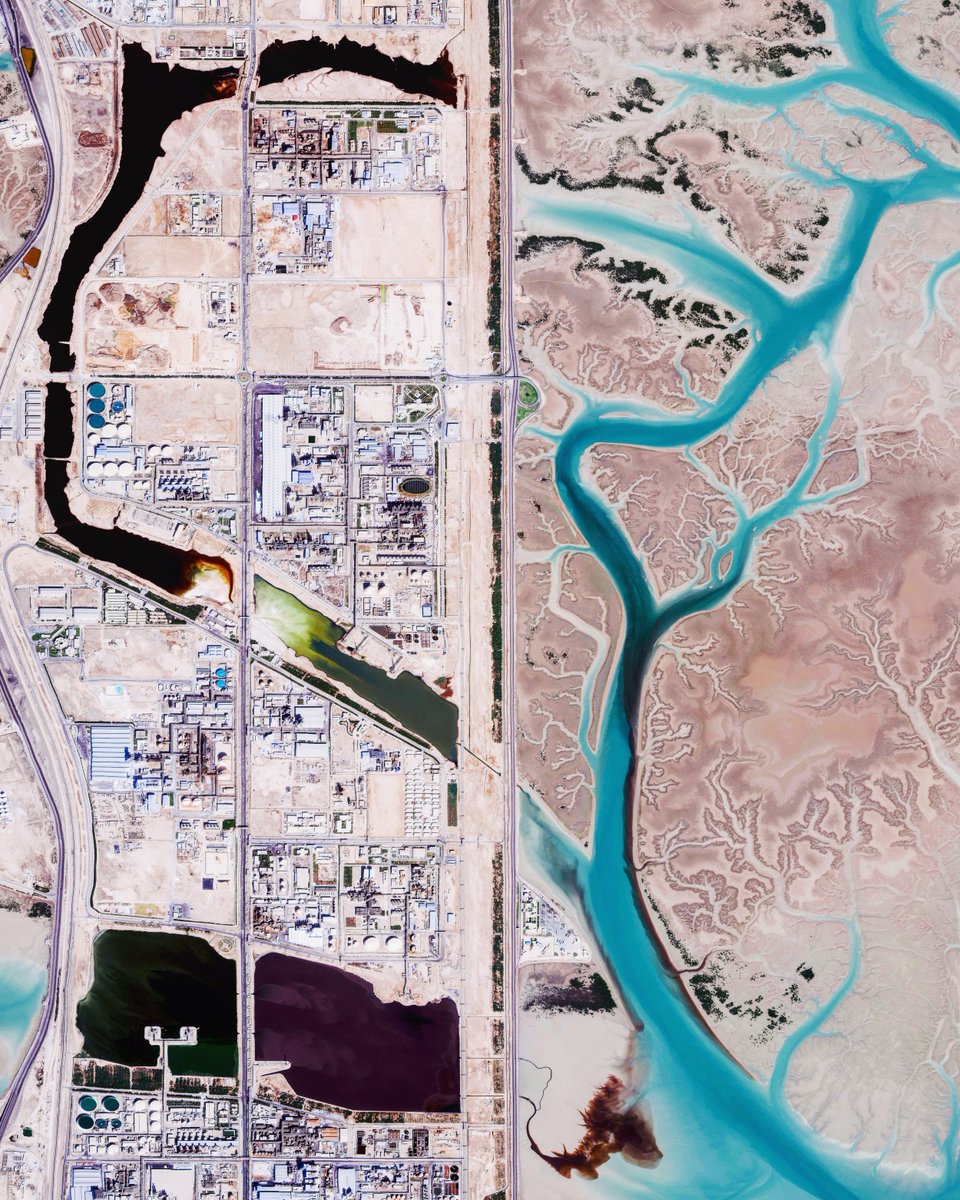
4. Chemical complex in Iran
1. Coal port in China
2. Oil refinery in Texas
3. Coal trains in Virginia
4. Chemical complex in Iran
Some (land-use) drivers of climate change
1. Deforestation in Bolivia
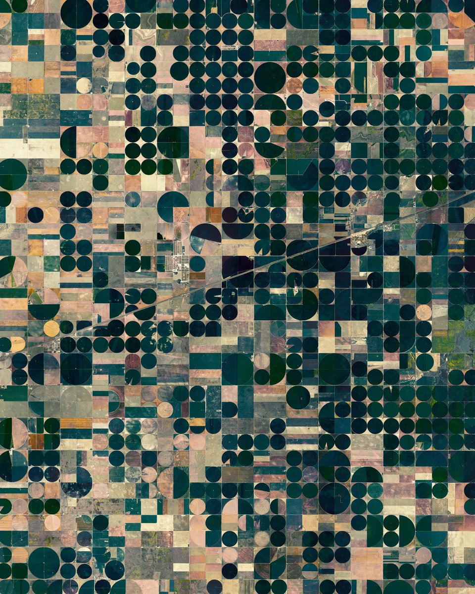
2. Pivot irrigation in Kansas
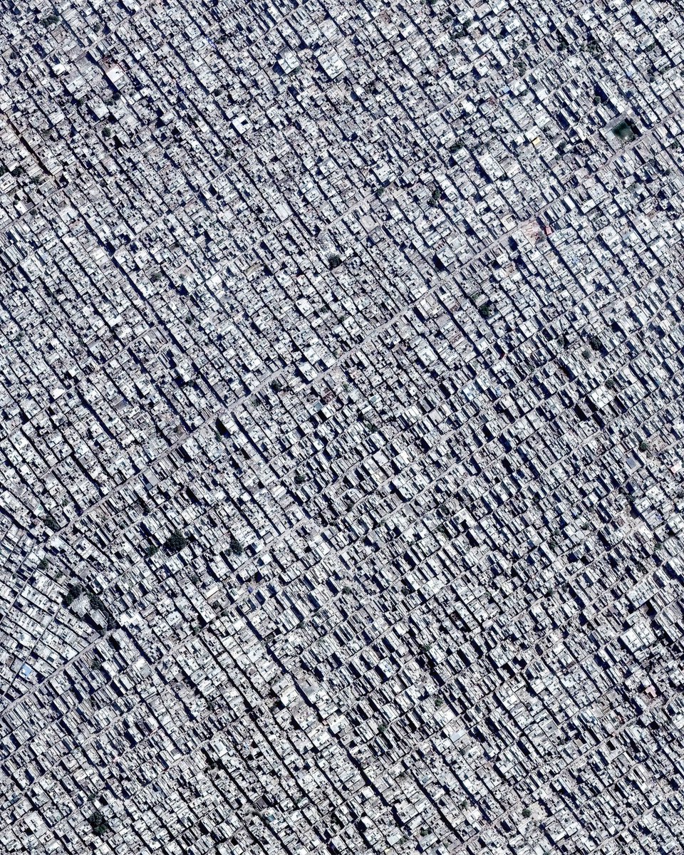
3. Urbanization in India
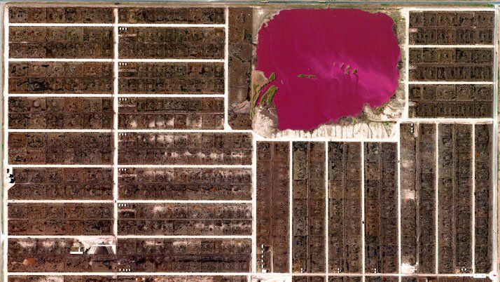
4. Cattle feed lots in Colorado
1. Deforestation in Bolivia
2. Pivot irrigation in Kansas
3. Urbanization in India
4. Cattle feed lots in Colorado
Some (transport) drivers of climate change
1. Automobile factory in Alabama
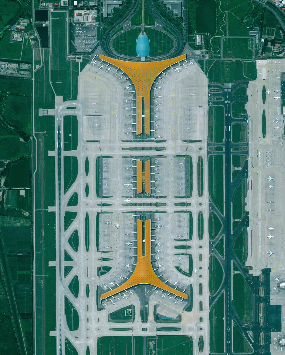
2. Airport in Beijing
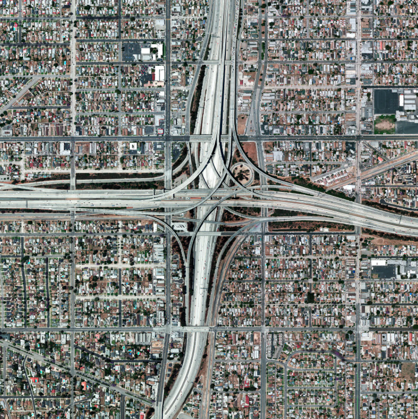
3. Highway in LA
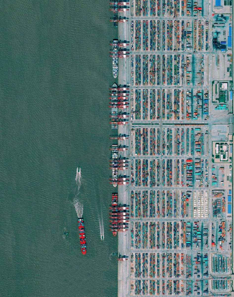
4. Cargo port in Shanghai
1. Automobile factory in Alabama
2. Airport in Beijing
3. Highway in LA
4. Cargo port in Shanghai
Some effects of climate change
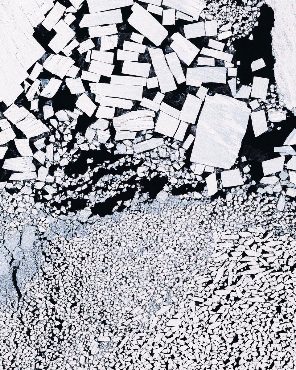
1. Ice Melt in Antarctica
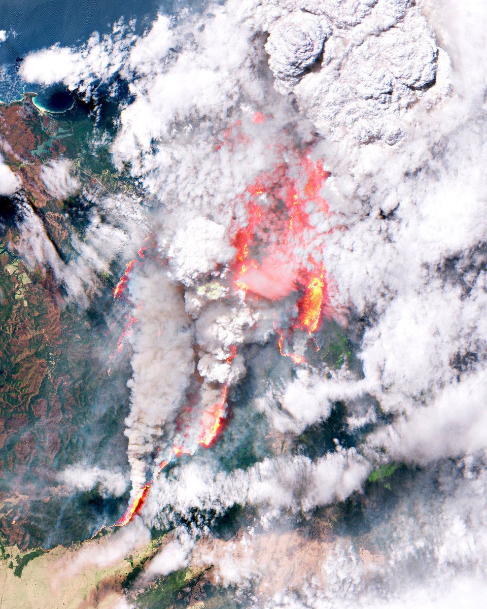
2. Bush fires in Australia
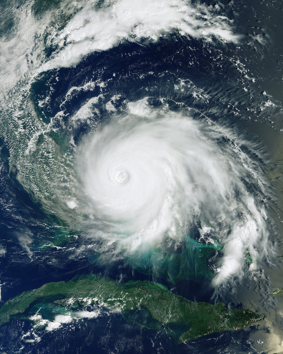
3. Hurricane over the Bahamas
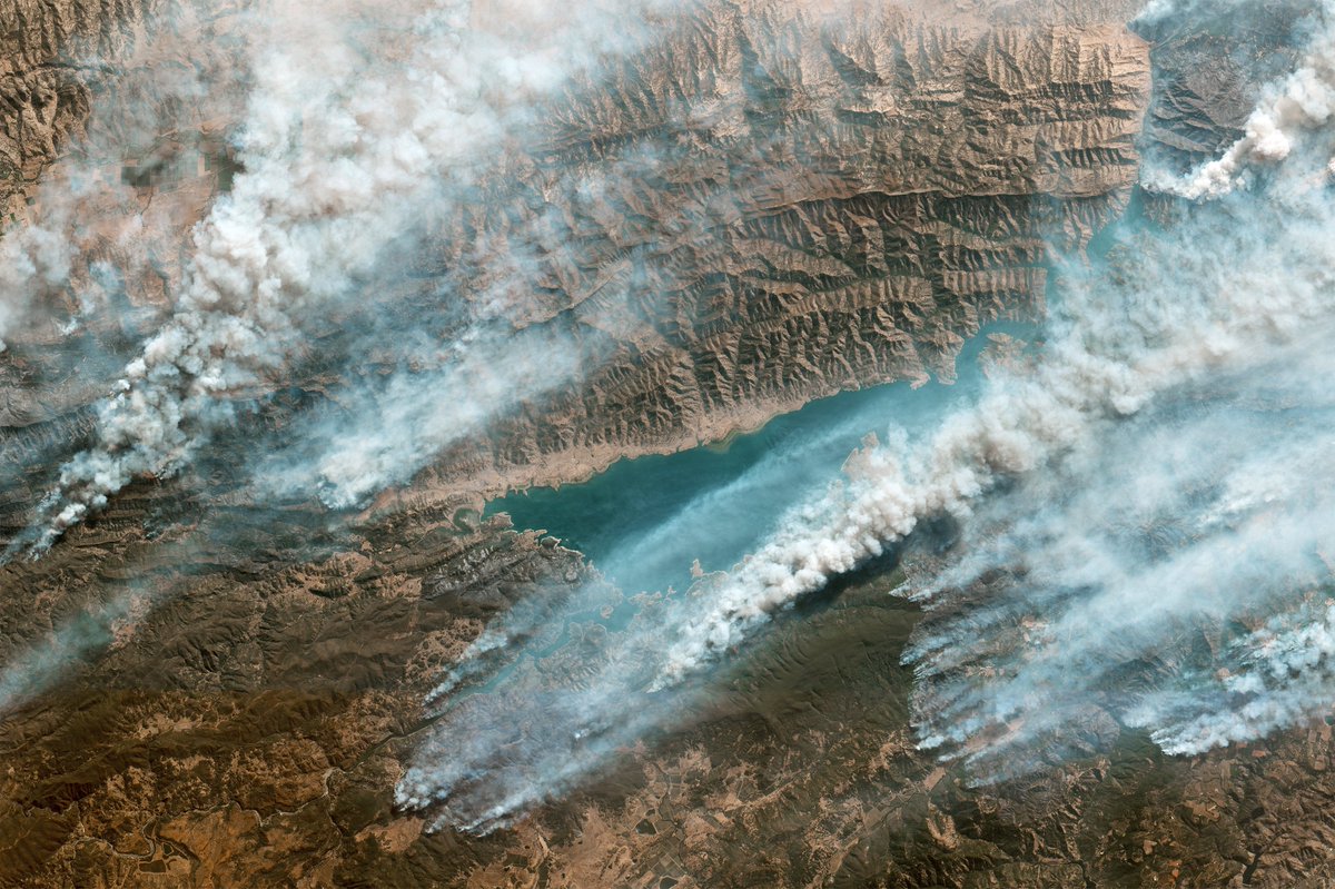
4. Forest fires in California
1. Ice Melt in Antarctica
2. Bush fires in Australia
3. Hurricane over the Bahamas
4. Forest fires in California
Some (potential) solutions to climate change
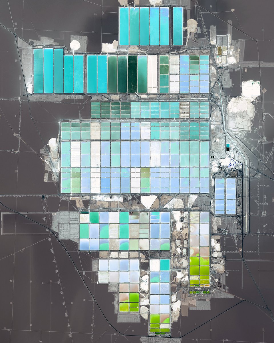
1. Lithium mining in Chile
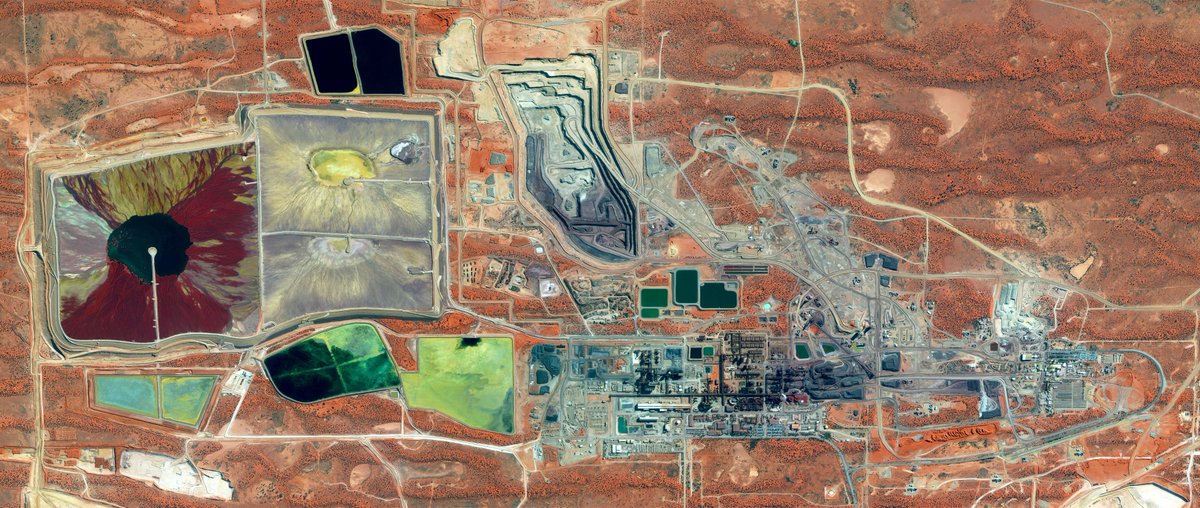
2. Uranium mining in Australia
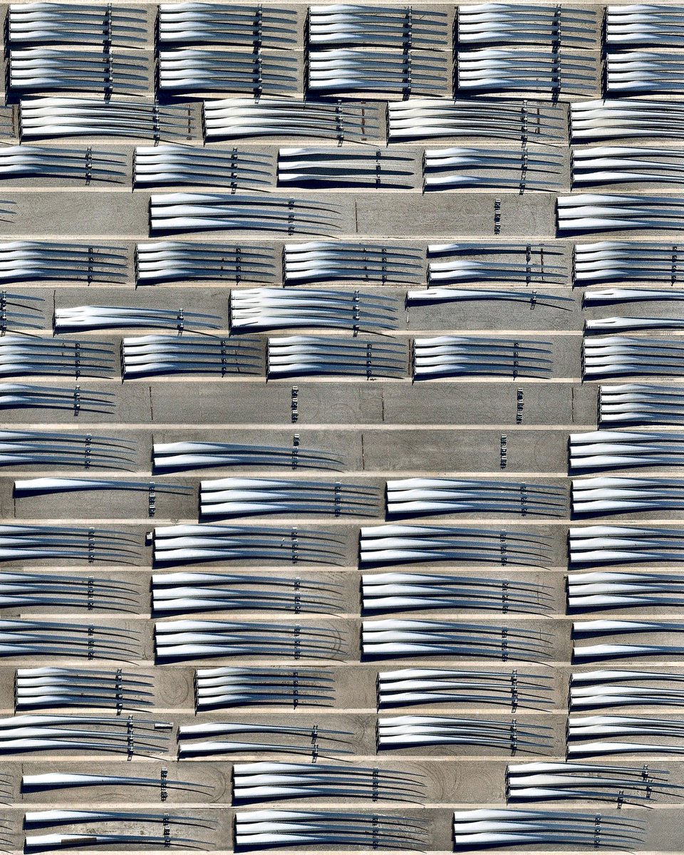
3. Wind turbines manufacturing in Arkansas
4. Concentrated solar in Morocco
1. Lithium mining in Chile
2. Uranium mining in Australia
3. Wind turbines manufacturing in Arkansas
4. Concentrated solar in Morocco
By no means is this a comprehensive list of climate's myriad drivers, effects, and solutions, but this serves to highlight one thing: SCALE.
The industries/sectors we need to transform are BIG.
The effects of climate change are BIG.
What we need to build to address is it is BIG.
The industries/sectors we need to transform are BIG.
The effects of climate change are BIG.
What we need to build to address is it is BIG.

 Read on Twitter
