“Can we see how you run a weather/climate model?” — We hear this quite often @NCAR_Science/ @UCAR_News.
Well, it’s actually quite anticlimactic.
Here’s what it looks like to run a state-of-the-art weather model (this is MPAS at 1.5 km resolution):
Well, it’s actually quite anticlimactic.
Here’s what it looks like to run a state-of-the-art weather model (this is MPAS at 1.5 km resolution):
“But how about all those cool graphics and movies on the web?”
— Well, it’s a long process to get there. The model produces output files that contain all the weather/climate information we are interested in. Each file has a date with that day’s/time’s weather:
— Well, it’s a long process to get there. The model produces output files that contain all the weather/climate information we are interested in. Each file has a date with that day’s/time’s weather:
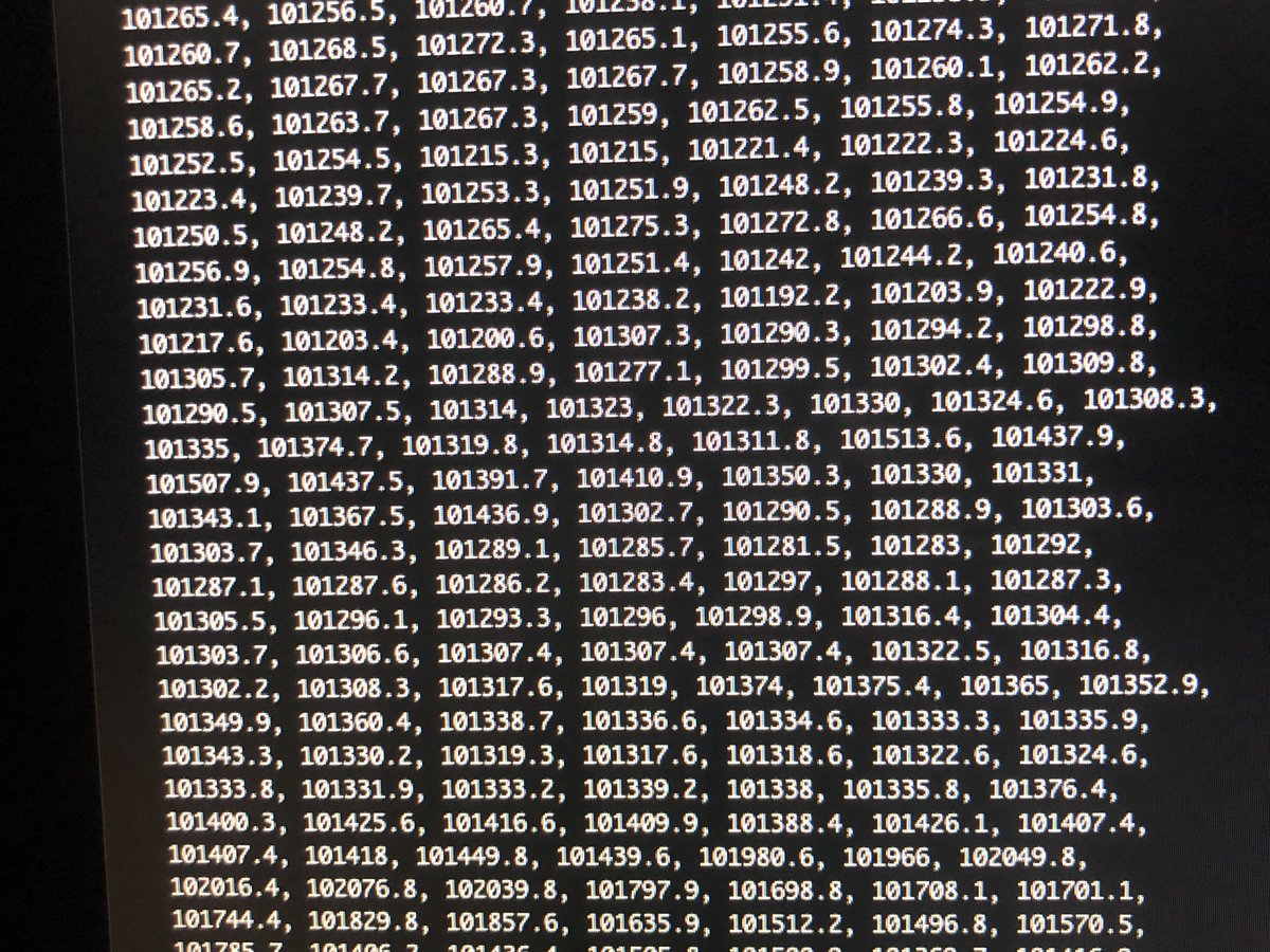
But the data is all stored in numbers, and it looks plain and dull like this (this is mean sea-level pressure):
Only after writing software to create images from the raw numbers, we get the final products, like those cool graphics and animations we are used to seeing on TV or the Internet #scicomm https://twitter.com/juracan82/status/964358928908734464

 Read on Twitter


