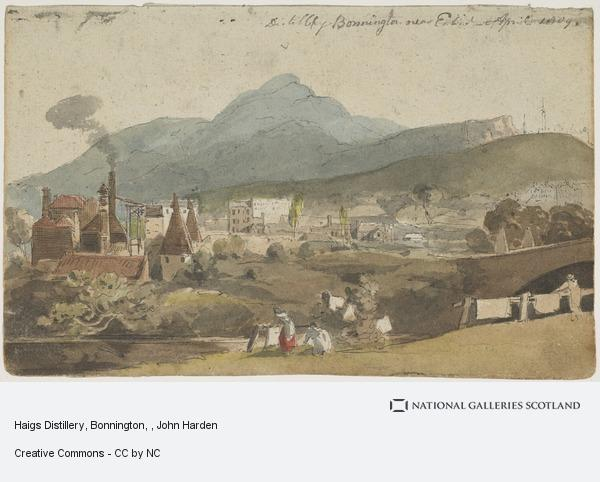
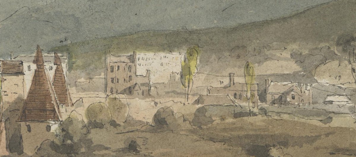
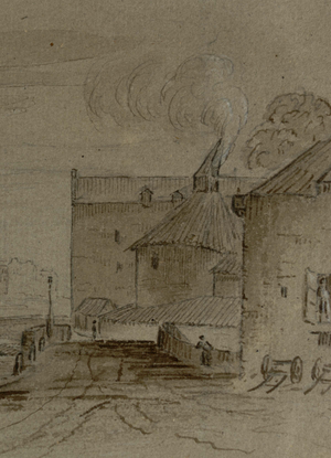
Found this absolutely brilliant early 19th c. watercolour on the National Galleries site in the course of my daily rummaging ( https://www.nationalgalleries.org/art-and-artists/18806/110204/haigs-distillery-bonnington) of the Water of Leith at Bonnington, looking towards Edinburgh. It is by John Harden and is date April 1809.
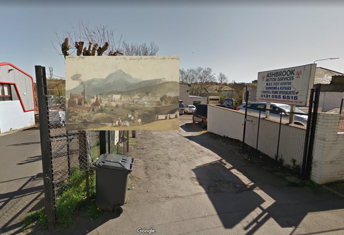
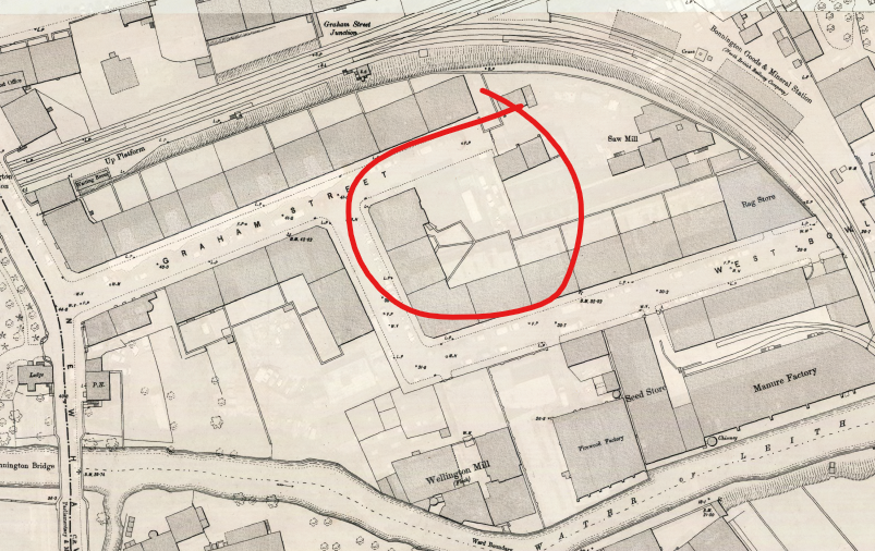
It's not a view you can get any more because of subsequent building, but it's full of details of industrial Leith at the beginning of the 19th c. The artist is sitting where the garages on Graham Street are, looking southeast
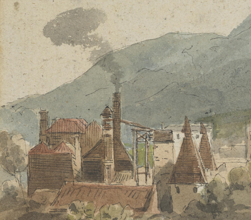
The main feature that dominates the foreground is Haig's distillery at Bonnington. Built in 1798 as one of the new fangled grain distilleries. You can see the cowls of malt houses, the vertical still tower etc.
Haigs were one of the dominant lowland whisky families, and were a founding member of the Distillers Company Limited (DCL) which went on to become an industrial giant and form the core of the spirits business of Diageo.
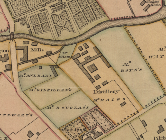
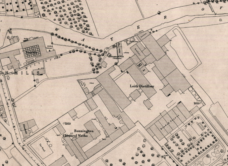
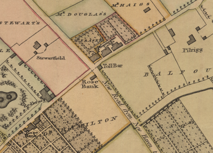
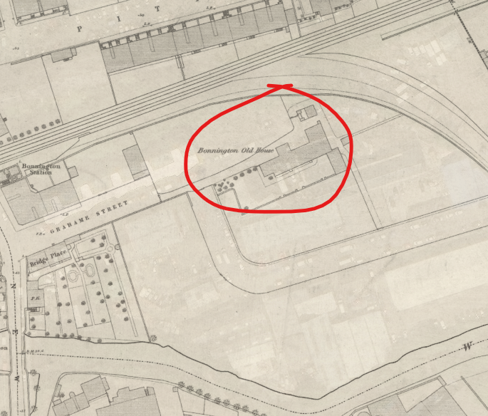
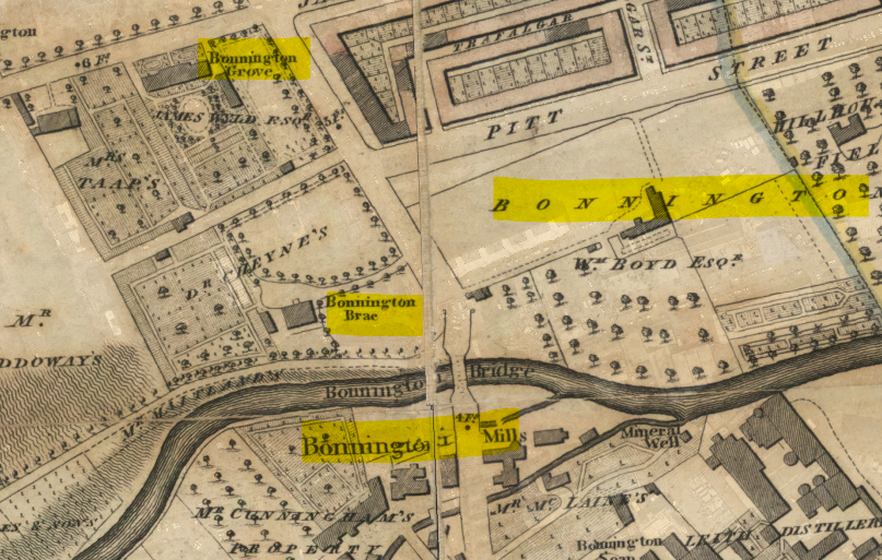
John Haig was one of 5 Scotch distillers to export to England in 1814 when the prohibition on the trade was lifted. From 1835 the site produced gin for the London market as well . Distilling ceased in 1853 and the site became a flour mill. These maps are from 1804 and 1849
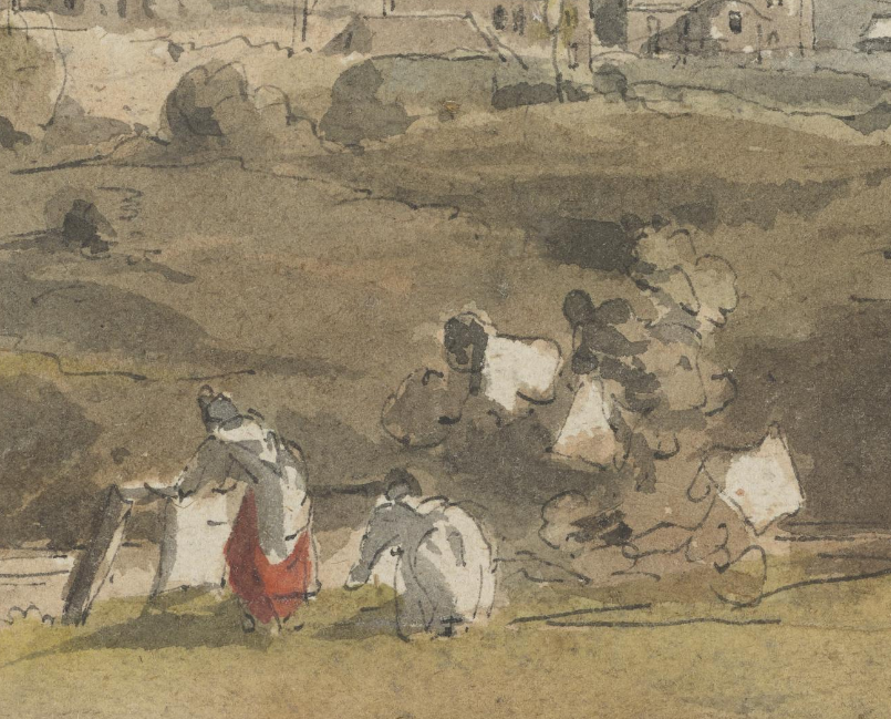
In the foreground, women hang out their washing on the bleaching green. This allowed them to bleach their linen in the sunlight.
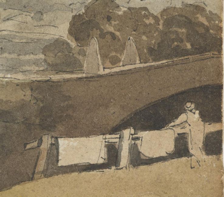
On the right, a man leans on a fence admiring the first Bonnington Bridge where the Newhaven Road crosses the Water of Leith. Interestingly the plaque on the bridge says it was first built in 1812, but it's clearly here in 1809 and is on the 1804 map too! It was rebuilt in 1902
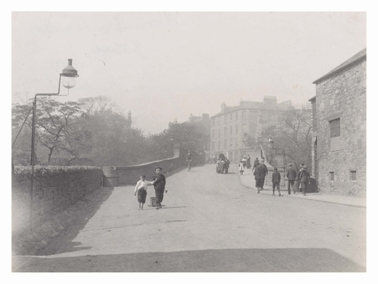
Here is that bridge in 1900(ish) before replacement. You can see oil lamps on L and R which have been converted to burn gas (but not yet been fitted with mantles). The paper mill is on the right. The lads in the foreground are dragging a box (pic Edinburgh City Libraries)
In the middle distance are the big hooses along Bonnington/Broughton Road. From L-R I think Pilrig House, Bonnington Lodge, Rosebank and Redbraes. Stewartfield is probably that roof poking out infront of them.
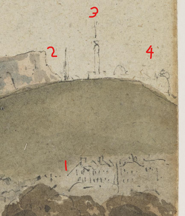
Right distance we see the expanding New Town at Gayfield (1), the signal flagstaff on Calton Hill (2), the Nelson Monument, newly built, at 3 and the observatories (4). The Nelson Monument was partially complete in 1809, but not fully so until 1816.
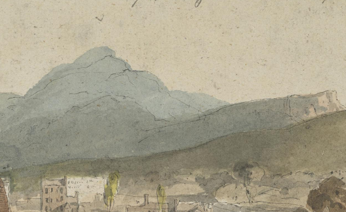
And of course towering over everything, with a bit of artistic licence, is Arthur's Seat and the geological wedge of Salisbury Crags.
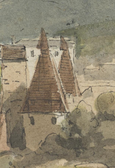
Those rotating cowls on the roof of the malt houses are interesting, and a close match to those pictured by Skene in 1818 at Stein's distillery upriver at Cannonmills
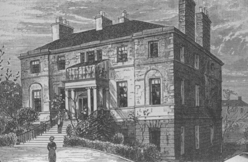
The artist was undoubtedly sitting in the gardens of Bonnington House, built in 1805 as a townhouse by the Haigs, for the Earl of Mar and Kellie (pic Cassell's Old & New Edinburgh)
Bonnington House, soon Bonnington Old House, was demolished in the 1880s so the land could be turned over to the industries of Bonnington and the need for workers' tenement housing.
The lands of Bonnington had been fued off by the Balfours in the later part of the 18th c. and houses built called Bonnington (or Old Bonnington), Bonnington Brae and Bonnington Grove. The historic centre of Bonnington was around the mills on the other side of the river.
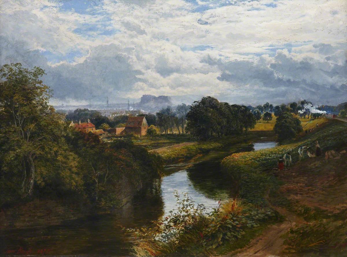
This 1859 view by Samuel Bough is taken from the bridge, looking west up the river. We see Bonnington Mills on the left. A very pastoral looking scene, that is broken by the steam engine hurtling towards us and Leith down the railway on the right (pic = Royal Scottish Academy)
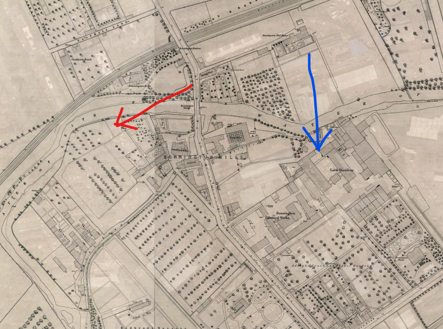
If Bough was standing at the tail of the red arrow looking towards its head then Harden was at the blue arrow looking along it too, but 50 years earlier.
One might assume that "Bonnington", a fairly common lowland Scots place name, might derive from Bonny (or pleasant), but it is from Bondingtoun, i.e. a piece of land let out to a bonder, a "yeoman farmer", with its root in the Norse word "bondi"
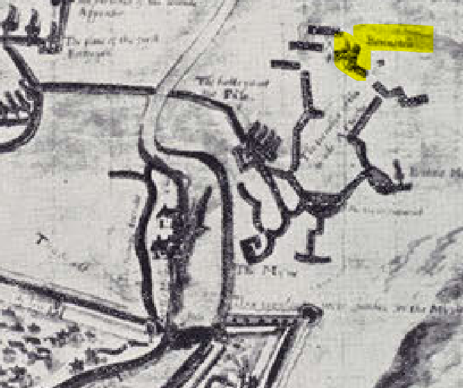
Bonyntoun is recorded as far back as 1460 and as Bonyngtoun in 1465. 100 years later it shows up on the Petworth House map of the Seige of Leith (take my word for it, that's a crap facsimile copy) as Bonneton. The mills have not been recorded.
(Point of order, it bugs me endlessly that there is not a good quality print or digital copy of this very important map publicly available in Scotland. It's the earliest accurate map of Leith. The print copies held by the council and the South Leith Kirk aren't great)
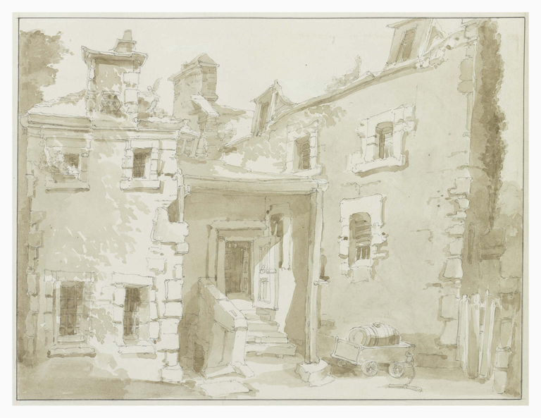
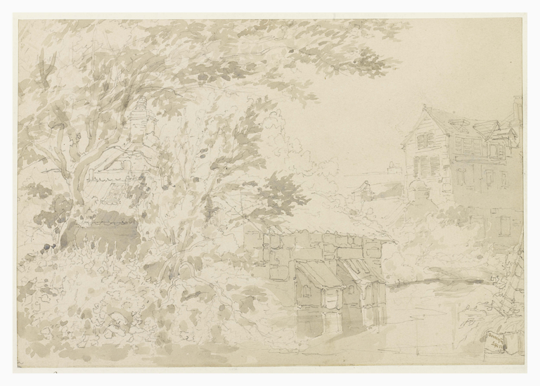
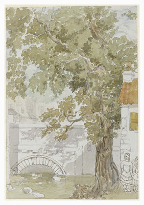
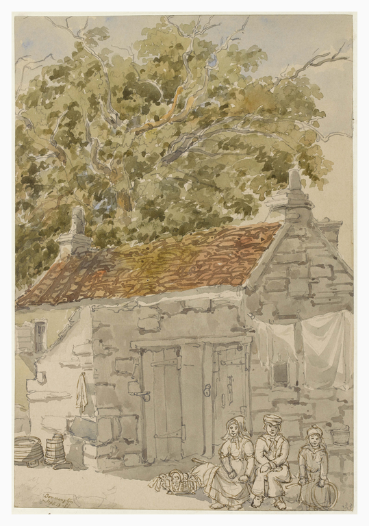
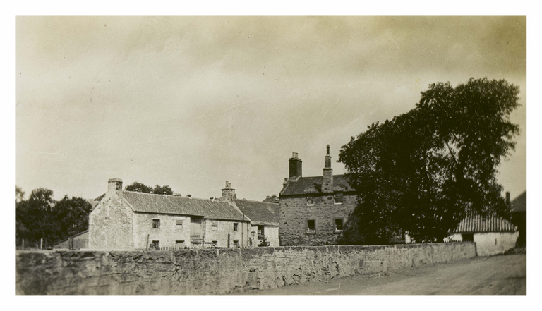
There are a number of sketches of Bonnyhaugh (haugh being the Scots word for a piece of flat floodplain by a river) or Bonnington Mills by William Channing. The small bridge is over the mill lade (all pics = Edinburgh City Libraries)
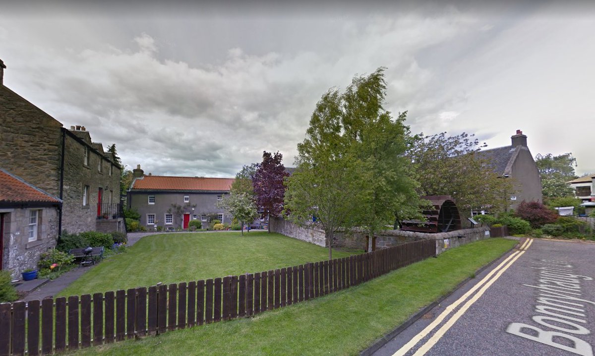
IF you turn down the rather unassuming Bonnyhaugh Lane you'll be rewarded with a little cloister of beautifully restored old mill buildings, and a big old iron mill wheel (2nd pic = Edinburgh City Libraries)
The Mill buildings were mainly houses, and were saved in 1971 when the decrepit mill buildings themselves were cleared away. The tale goes that the Mill was founded by French protestant refugees in the 17th c., but most tales of that sort in Edinburgh seem to be myths
Here is the above thread as one easy to digest webpage; https://threadreaderapp.com/thread/1339326711540948997.html

 Read on Twitter