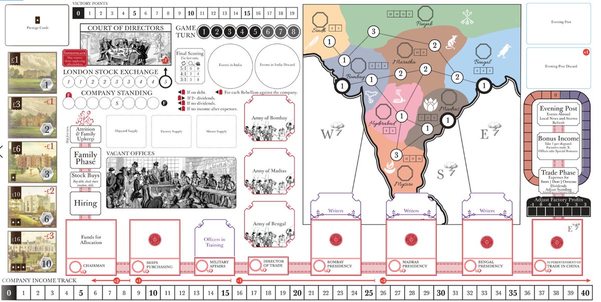
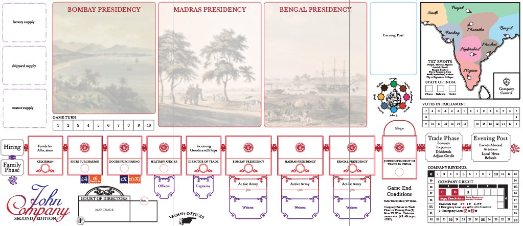
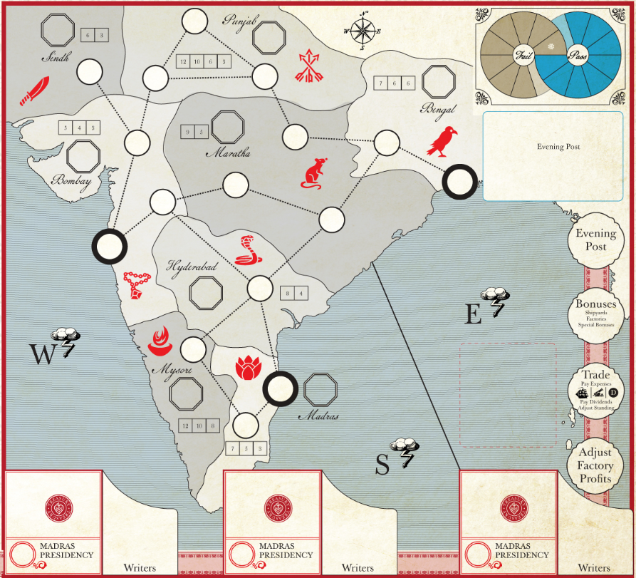
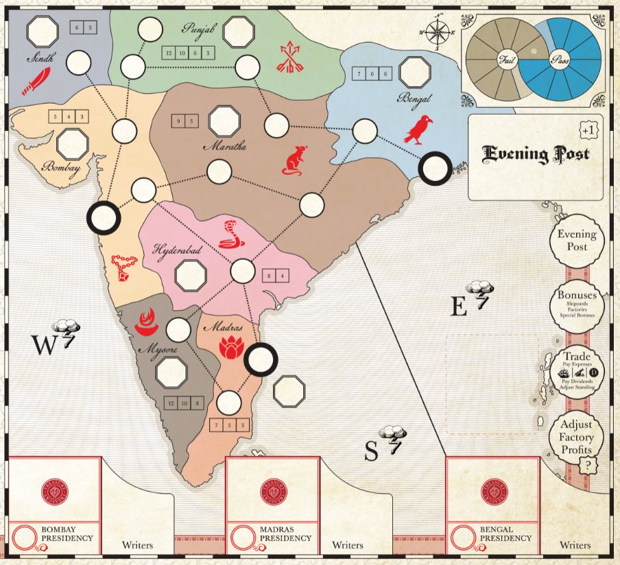
This morning I've been continuing my weekend tradition slowly working on the new edition of John Company. It seemed like a good time for a little process thread about drawing maps.
First, I should say that I've ditched the region cards from the first edition in favor of a single map. I could write a long piece about this and probably will later, but for now I want to talk mostly about map drawing.
The map was originally added as a bit of a lark. I drew it quickly and stuck it in the corner. But with every design iteration over the past several months, it's gotten larger and larger until it took up a quarter of the board!
It was never that great of a map. The backend is pure chaos and the regions, orders, and general layout were very much a sketch. It was only ever intended as a quick stopgap for these proof of concept designs. But, because map drawing is time intensive, it kept sticking around.
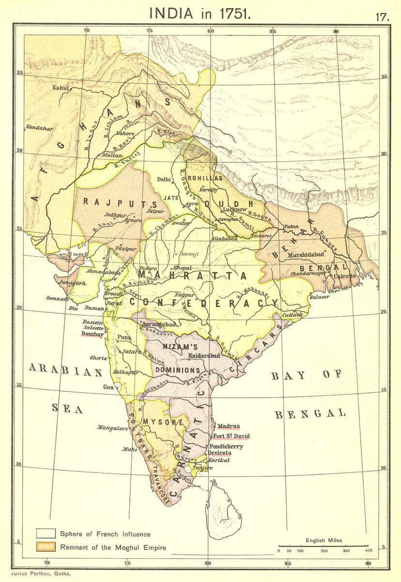
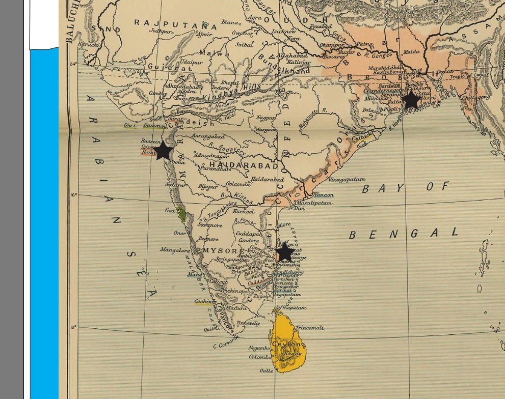
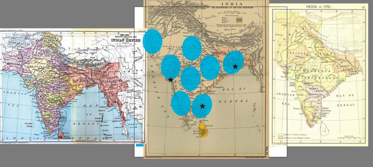
No more though! A few weeks ago I began the process of map redrawing. The first thing I did was collect about a dozen reference maps from 1710 to 1857 (the period covered by the game). I made note on both their aesthetic elements and how they divided up the subcontinent.
Because John Company covers such a wide period of time, no map is going to be perfect. So the game's map was always going to be something of a mutt.
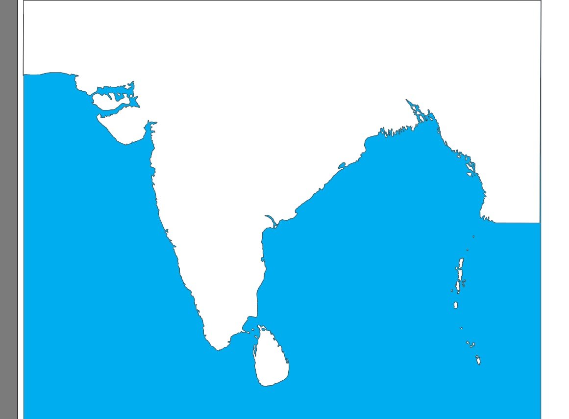
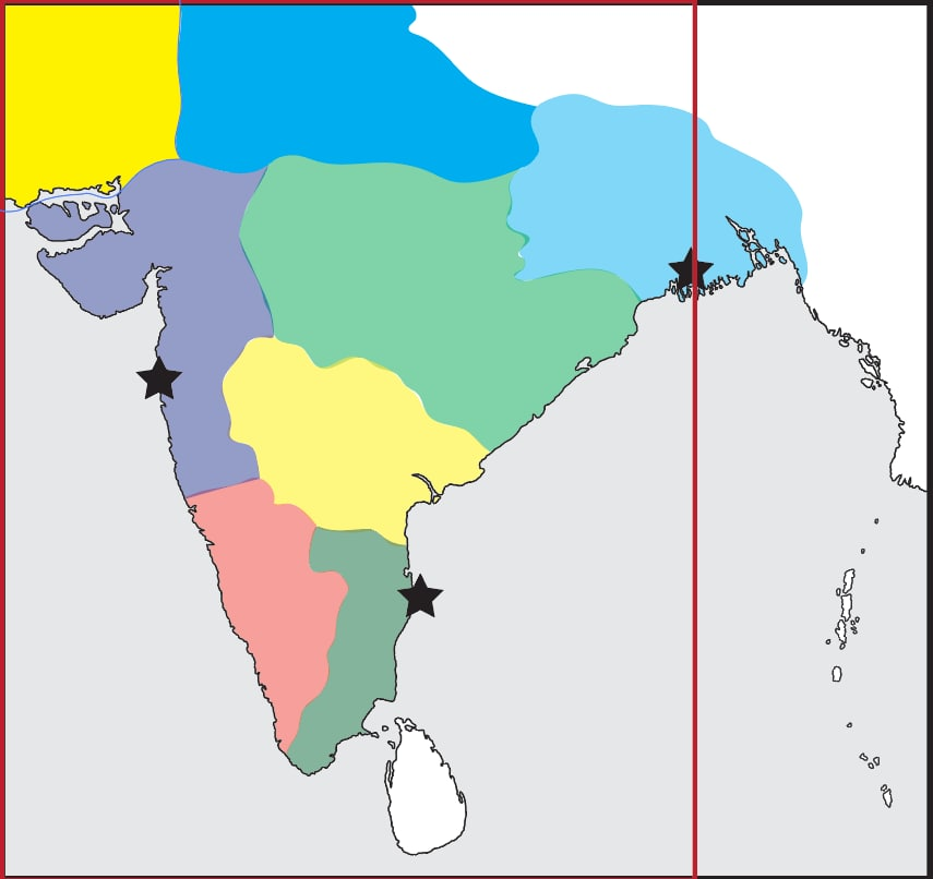
The first step is to find the map with the most accurate coastline (not an easy feat) and then crop it in the way demanded by the game. Then, I take out my trusty pencil too in illustrator and trace the dang thing.
(A lot of map drawing is very, very tedious, so I always make sure to have a good podcast on. For this project I listened to all of @SlatePodcasts Slow Burn's series on Watergate, which was wonderful.)
There were numerous problems with this coastline (For instance, the Great Rann of Kutch above the Kathiawar peninsula looks too much like a sound). But its a good starting spot.
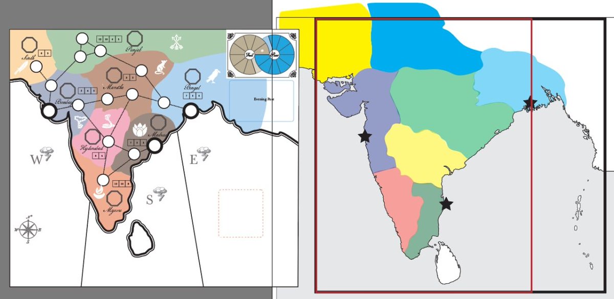
Next, I need to anchor my map with some basic gameplay markers. To that I make the source map I used visible and mark out the three key cities of the game (Bombay, Madras, and Calcutta).
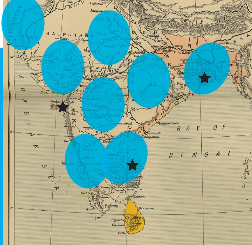
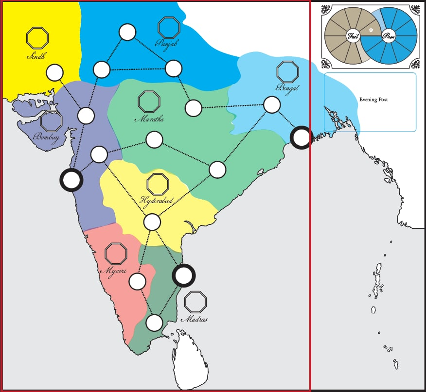
At this point I have a rough idea of how much stuff each region needs to hold in the game--that is, how big do the regions need to be so that players don't knock down pieces willy-nilly. To that effect, I drop down some very lose region markers.
Then I go back to some reference maps and adjust the placement of each region to capture some sort of "average" position across time.
I really cannot overemphasize how important this step is. When making a historical game map, it's really easy to overemphasize the precision of lines and then create a layout that will frustrate you at every turn.
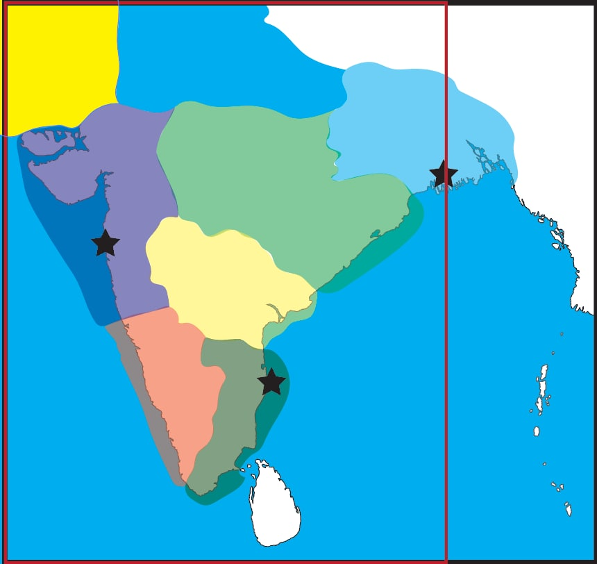
Now that I have the rough positions, I go back to my coast line and start drawing regions. There's a lot of simplification that happens at this stage and a lot of minor actors in the game's drama get swallowed up. It's a bummer but it's necessary for this kind of work.
Then, I'll put on a clipping mask for the ocean that will make the map look considerably more finished. This is good for my mental health as I'm already a few hours into the project and needing a little pick-me-up.
Around this time I'll double check the new and old map and put in some guide lines so that I know how it will sit when I finally place it on the board.
Now it's time to move the game UI over. Madras' fort octagon got kicked out to sea. That's okay because I don't want to congest things too bad at this point (there's more UI to come), but I make a note to double check to see if it creates any usability issues later
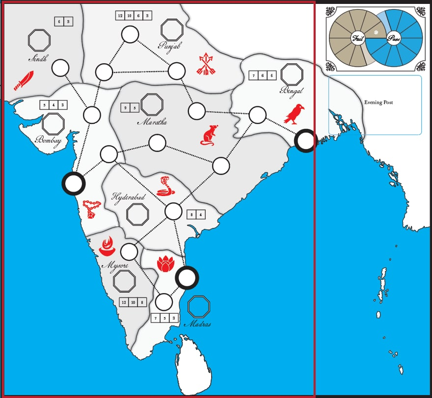
Now I drop in the rest of the UI including some very goofy region icons that are just placeholders. I also fixed a few issues with the coastline at this stage. I briefly think putting a shadow on the lines is a good idea at this stage.
Now, I go back to those notes on the reference maps and start putting in some of the aesthetic flourishes. The obvious one is an antique paper texture. I also opted for longitude lines to texture the sea. I experiment with pulling the colors off the regions as well.
I like a lot of what is happening here but the light blue/gray sea is swallowing the map a little. I go back to the reference maps and adopt a subtler approach. I also bring back the (not final) region colors.
A quick note about the longitude stripes: these were created using the blend too in illustrator which I've never used before and is super handy! They render a little funny at some zoom levels but it prints beautifully.
And there you have it. The thing altogether took about 12 hours spread over 2 or 3 weekends mostly. With the map done, only a few elements are outstanding before I can start widening our testing circle and sharing more about the game.

 Read on Twitter