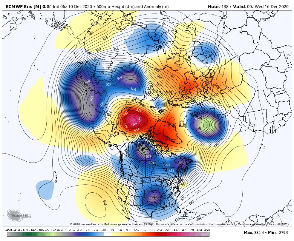
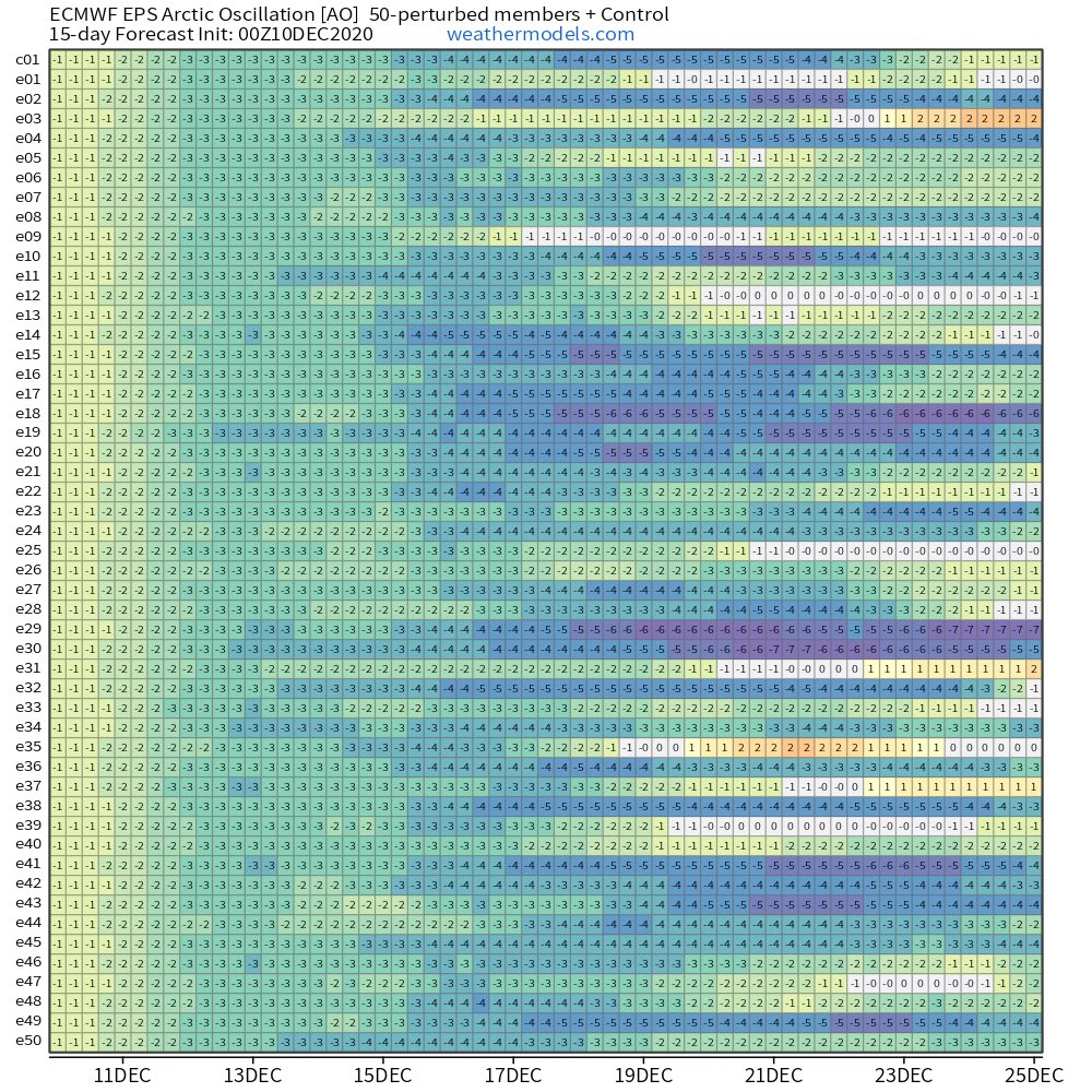
Medium range model guidance is in agreement that high latitude blocking will return as we move into the middle of December. Ridging is forecast to into the Arctic as well as Greenland. Strong agreement across the latest individual EPS members on AO values near or below -3.
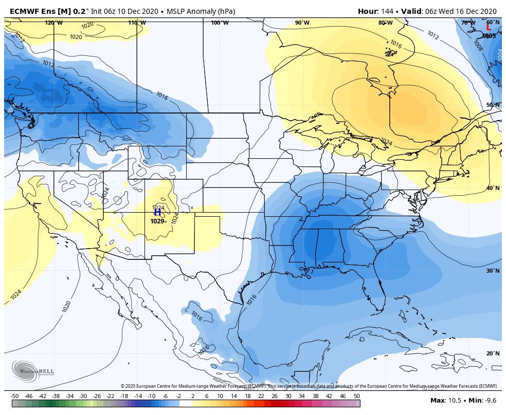
The pattern is further complicated by a +EPO tendency and active Pacific Jet. This will tend to encourage warmer than normal air in the United States. Still, the active flow and Arctic blocking suggest winter storm threats could soon emerge in some capacity in the Eastern US.
Blocking ridges over the Arctic and Greenland have generally been trending stronger over the past several ensemble cycles. Something to keep an eye on over the next few days.

 Read on Twitter


