‘Later on Christmas night, two Preventative Men (from HM Coastguard anti-smuggling service) were down at Culverhole Point, where they noticed cracks and fissures opening up, and later, two others saw the sea boiling and roaring...(1/5)
...The men were horrified to see the beach on which they stood rising and falling, and terrified when a dark wall of shingle emerged from beneath the sea. In the morning, the destruction of the landscape was there for all to see... (2/5)
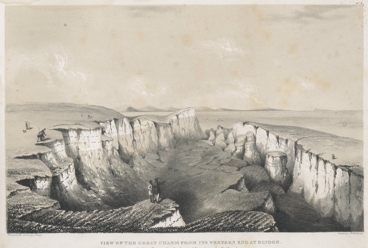
...Eight million tons of cliff rock had broken off and slid seawards, forming The Chasm of twenty acres behind, forming (between the chasm and the sea) an ‘island’ of fifteen acres, a mass of Chalk and Greensand, which became to be known as Goat Island.’ (3/5)
In 1840 Lyme geologists Rev William Conybeare and Dr William Buckland produced the first fully scientific report ever produced about a major landslip – the Bindon Landslip of 1839. It was beautifully illustrated with coloured maps and sections by William Dawson... (4/5)
...and engravings by Mary Buckland. Their conclusions are still valid. William Dawson also produced a model of the landslip. The quoted text in the first three tweets in this thread are from ‘Lyme’s History in Museum Objects 12: The Undercliff Model’ by Thea Hawksworth. (5/5)

 Read on Twitter


