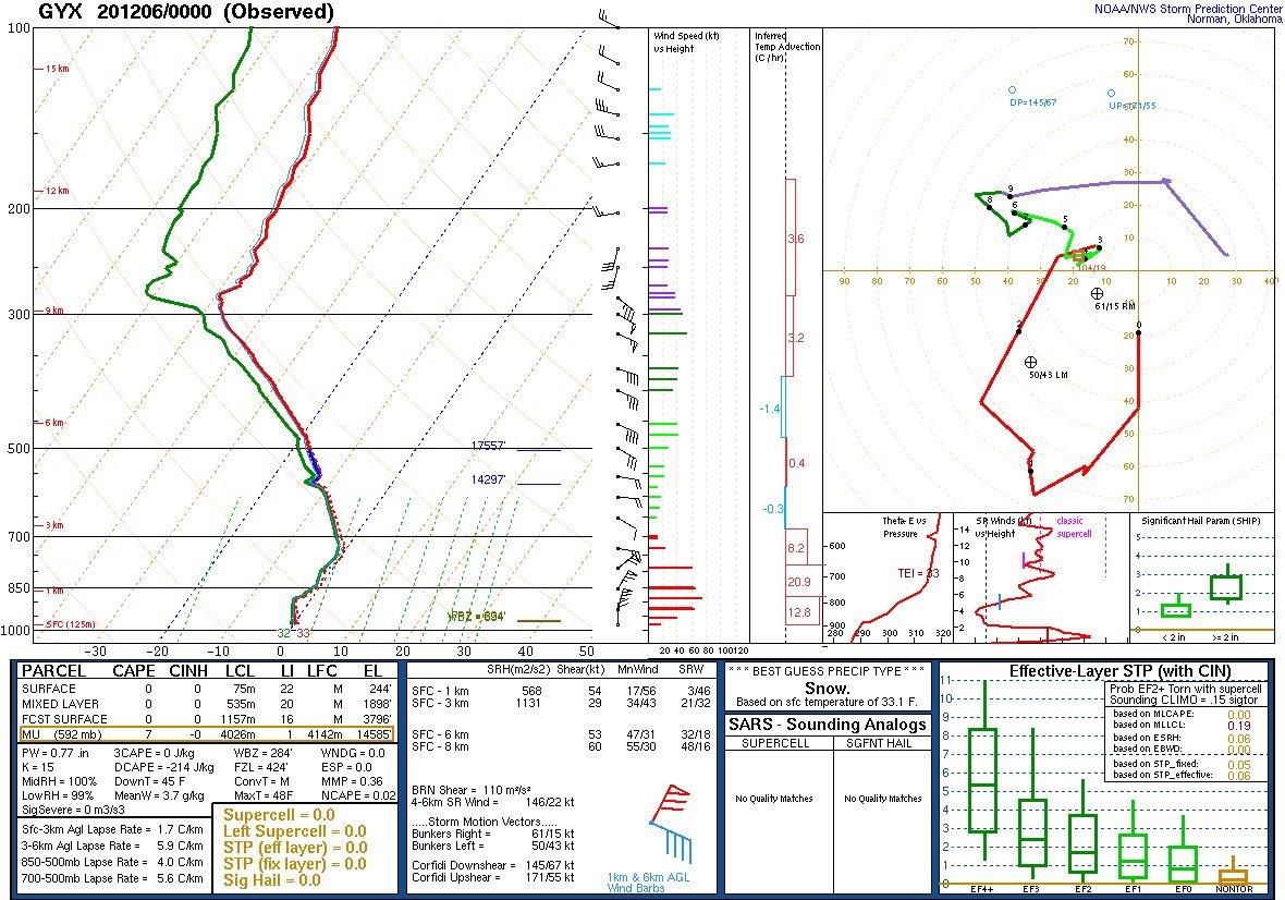
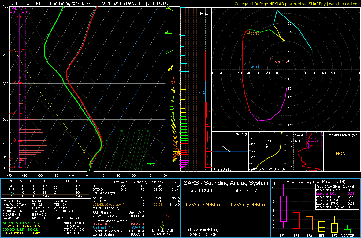
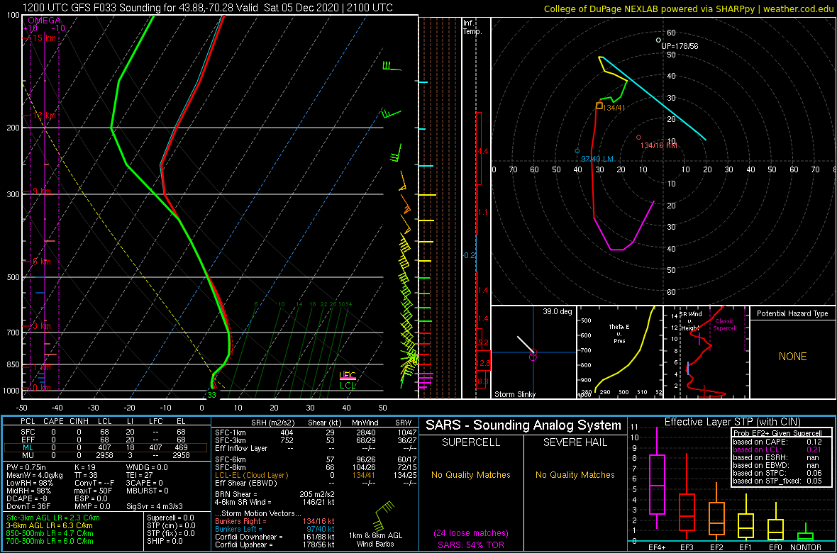
I keep going back to our observed 06.00z sounding. I discussed last night why it looked pretty poor for snow. The thing is, does it look that different than from the 04.12z NAM or GFS forecasts at GYX for a couple hours before the sounding was launched? No.
I'll highlight here with the NAM. Max lift was around 700 mb, well below the ideal snow growth zone. So we would already be generating lower ratio snow crystal types. Then we drop those flakes into a deep near-freezing layer.
Even though this layer was sub-freezing the flakes would gain heat from the atmosphere as they fell. This made the near surface 33/34 degrees all the more harsh for accumulation. Just west (cooler) we generated more/better flakes, more melting, and thus cooler column = more snow.
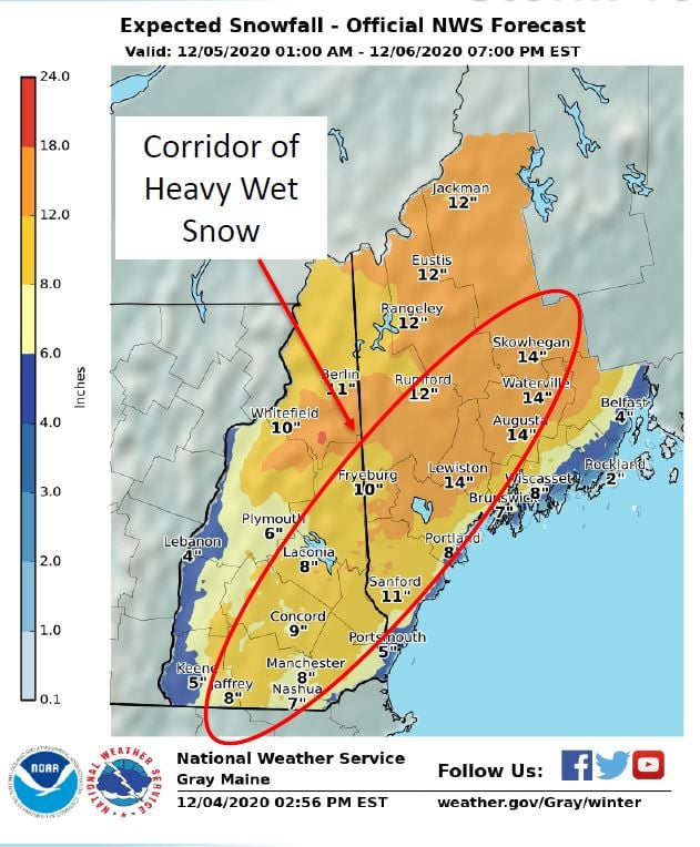
This was an event where we had the axis of high totals and the correct impact of wet snow/power outages, but didn't do well on totals outside of the main band. I should've seen the red flags and adjusted snow ratios from 7:1 to much lower values. Because QPF was pretty good.
Another factor was the already saturated air mass. Typically WAA precip results in some evap cooling. But our already saturated sounding had no where to go but warmer once precip arrived with no cold air to be found to our north.

 Read on Twitter


