Christian Identity is a racist and anti-Semitic religious sect that was a major source of white supremacist violence in the US during the period 1980-2010 or so (it has declined quite a bit in the past decade). Its core belief is that white people are descended from the Lost
Tribes of Israel (and are thus God's chosen people), while non-whites are soulless beings created when God created the beasts of the field and Jews are (by one C.I. school of thought) actually descended from a liaison between Eve and the Serpent.
Christian Identity has its beginnings in a quirky but mostly innocuous set of 19th century beliefs known as British-Israelism or Anglo-Israelism, which located the Lost Tribes in Great Britain and (for some) its colonies in North America. B.I. still exists.
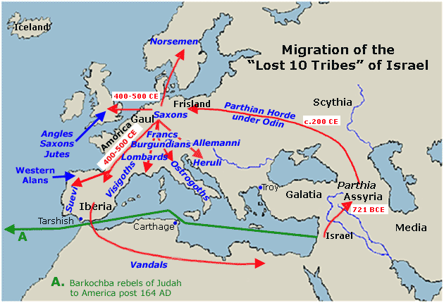
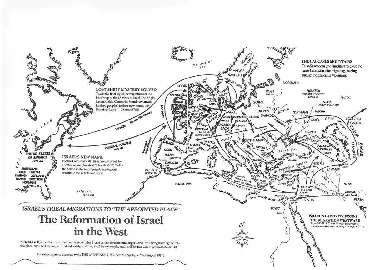
Now--and here is the purpose of this thread--both British Israelists and Christian Identity folks love to illustrate this through the cunning use of maps. Let's begin with a simple one, created by a B-I offshoot:
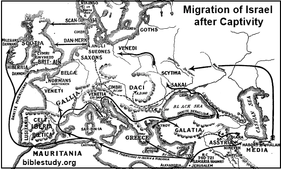
Here's another one, with a long right hook around the Caspian sea. You'll note a focus on words like Denmark and Scandanavia on some of these maps because some claim that this is where the tribe of Dan ended up--thus "Dan-Merk." Scan-DAN-navia. Etc.
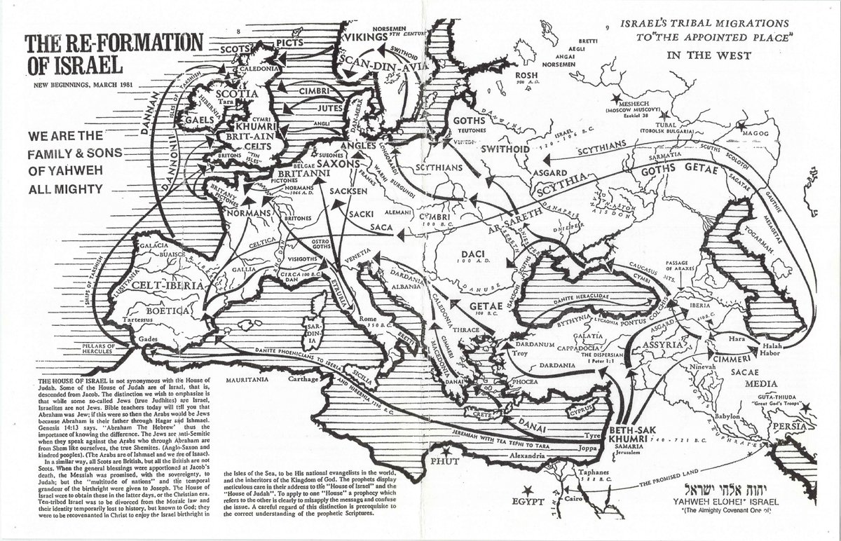
You can see this one at https://bostonraremaps.com/inventory/raymond-e-capt-christian-identity-1981/. E. Raymond Capt was a pioneer of C.I. & considered himself an archaeologist.
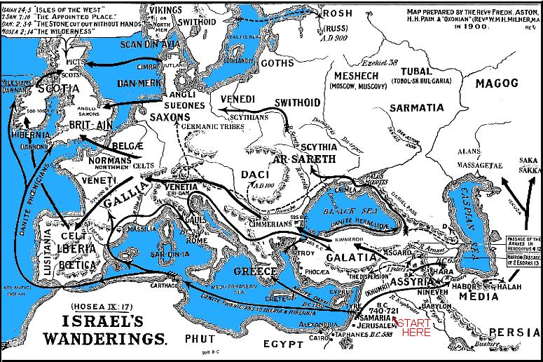
This version dates from 1900, putting it squarely within British Israelism (CI basically emerges its modern form in the 2nd half of the 20th century). I'm pretty sure the "start here" was added later.
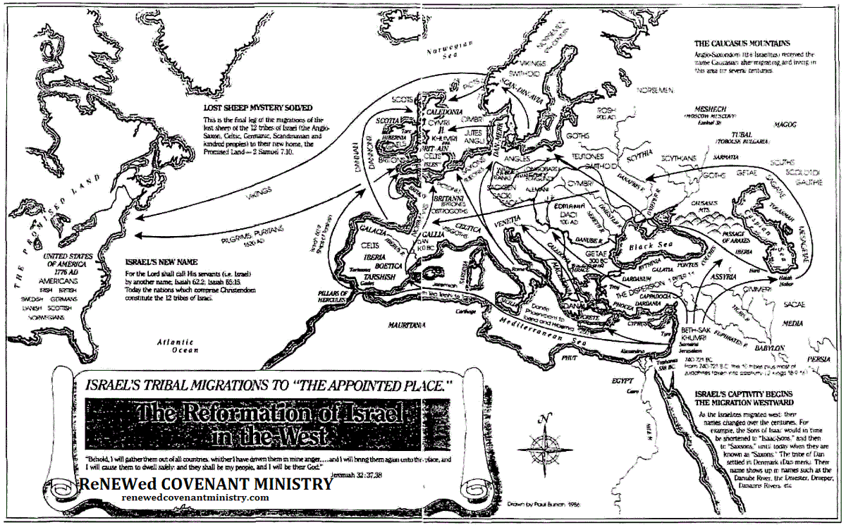
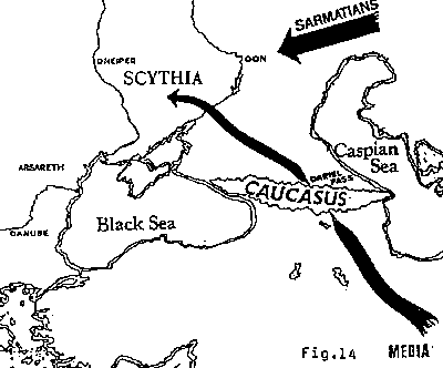
I've seen some C.I. figures talk about the Lost Tribes moving through the Caucasus, where they became known as "Caucasians."
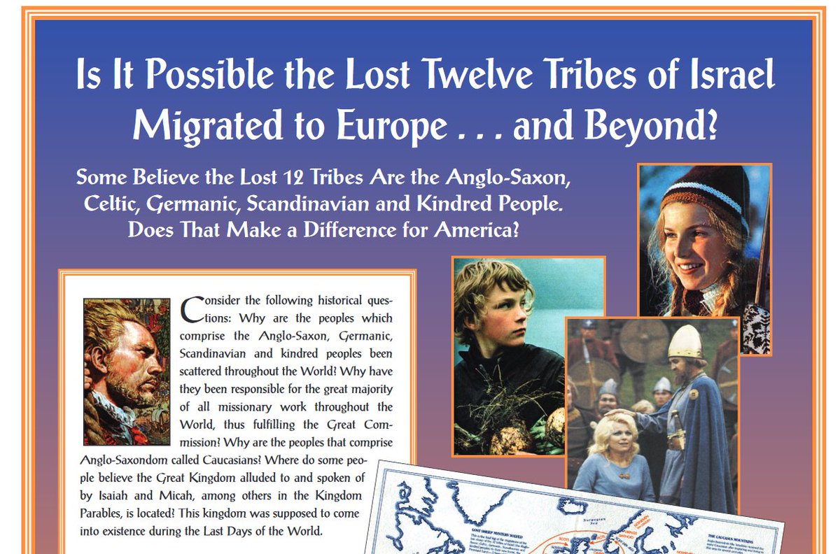
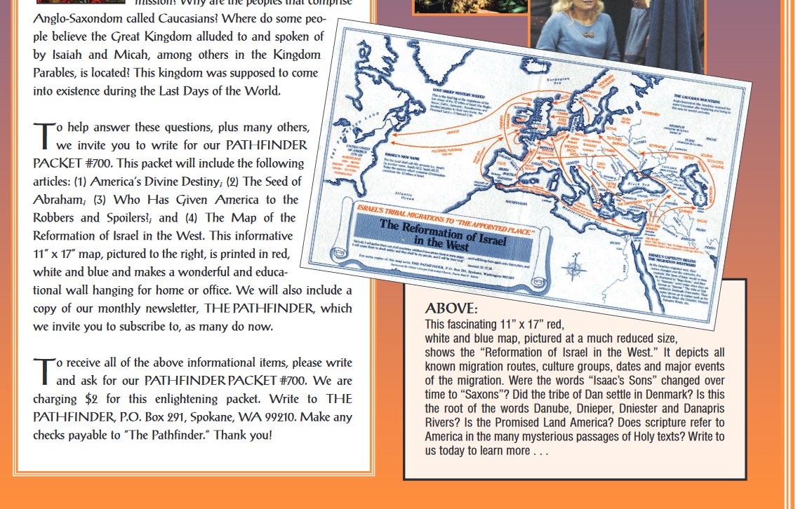
Here's a full page ad in the right-wing conspiratorial American Free Press in 2007 for an 11 x 17 version of the Reformation of Israel's Vision in the West Map. I may have purchased one at some point; I can't remember.
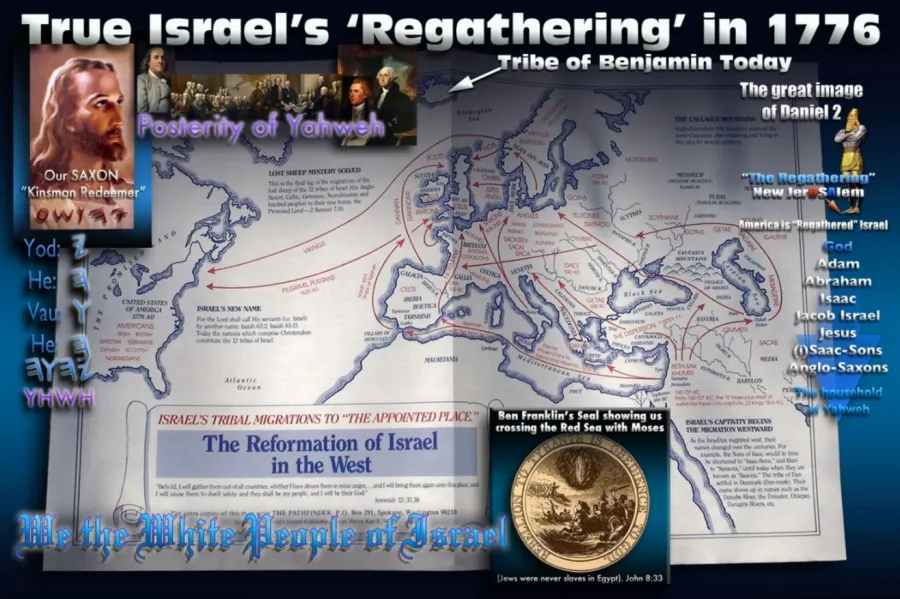
The Reformation Map is one of the most popular versions among C.I. adherents. It's also one of the ones that references Caucasians.
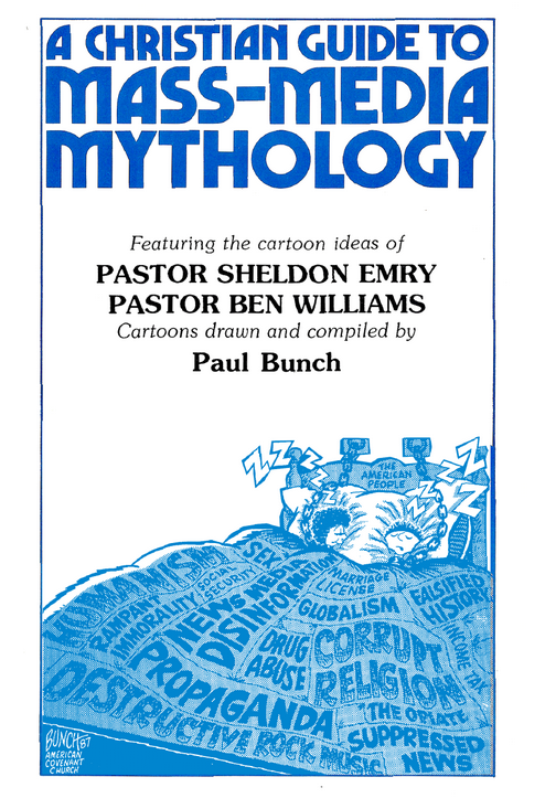
The original map was created by Paul Bunch, an early C.I. figure, in 1986. I don't know much about Bunch.
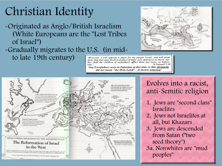
I actually used Bunch's map myself, back in the day. This is an ancient 1990's Powerpoint slide from one of my early law enforcement training presentations.
attn @MapPornTweet if you are at all interested.

 Read on Twitter