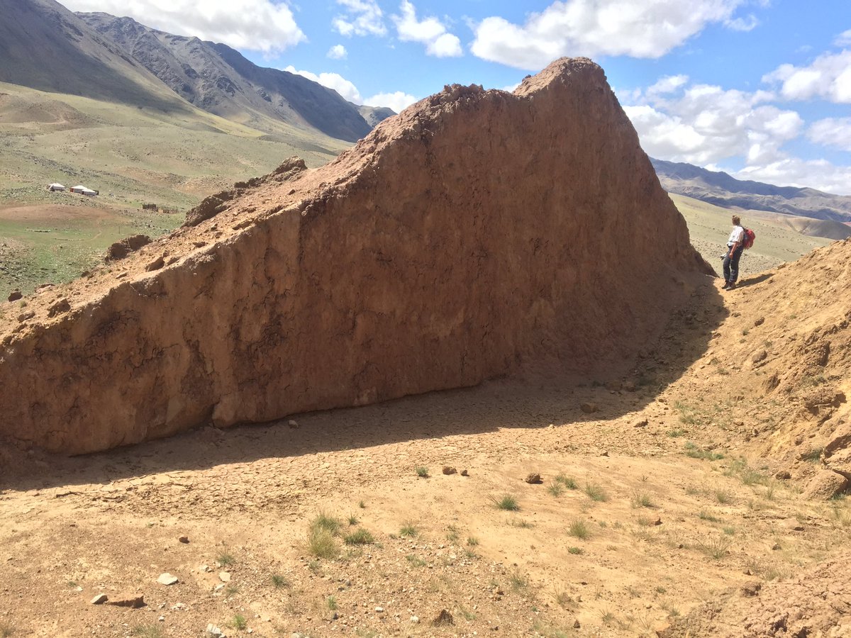
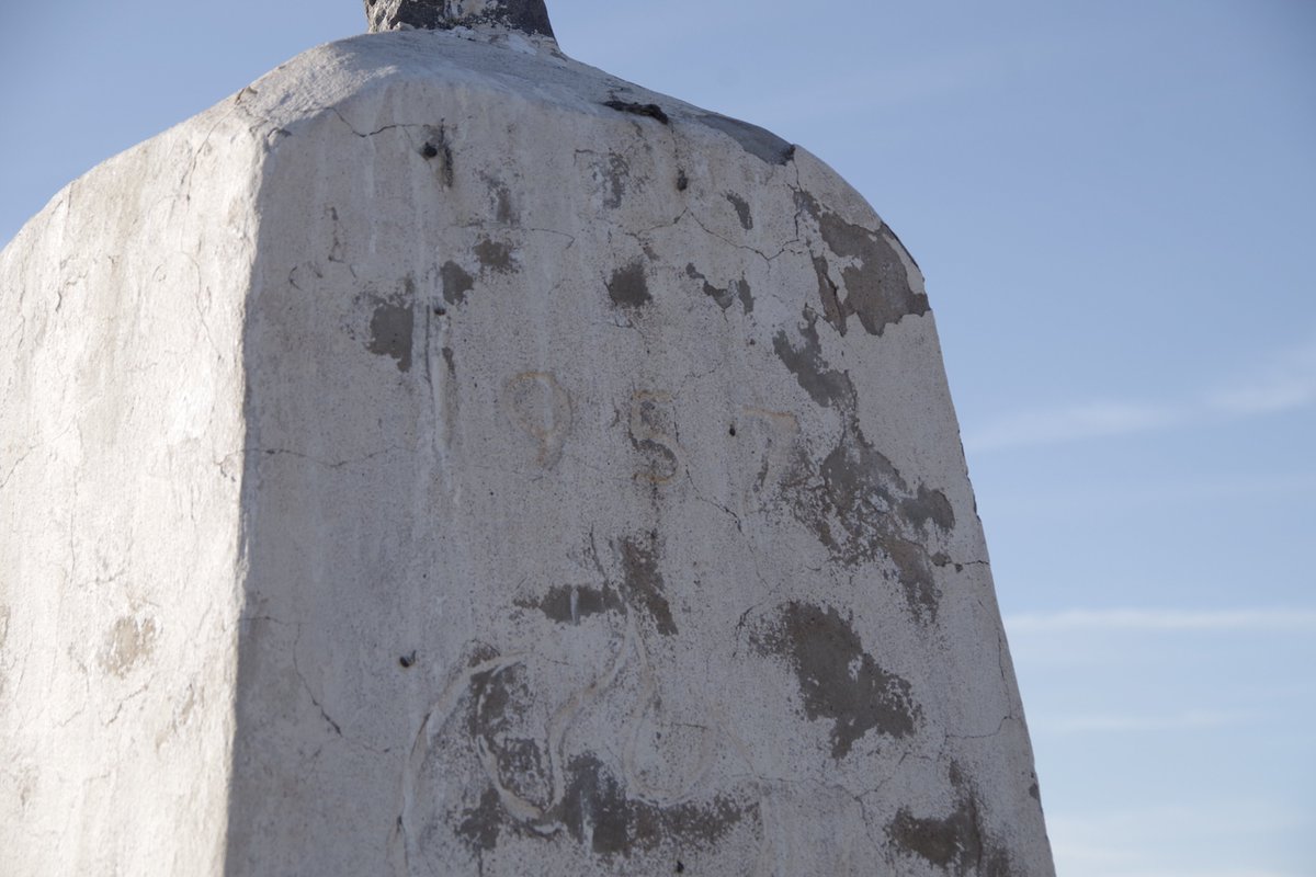
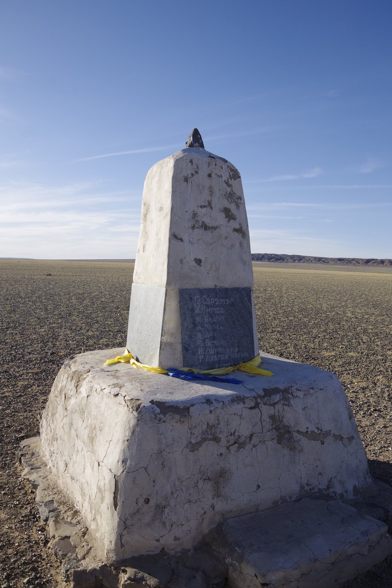
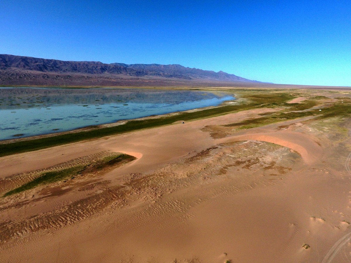
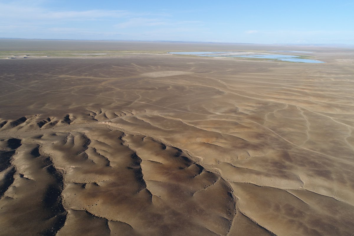
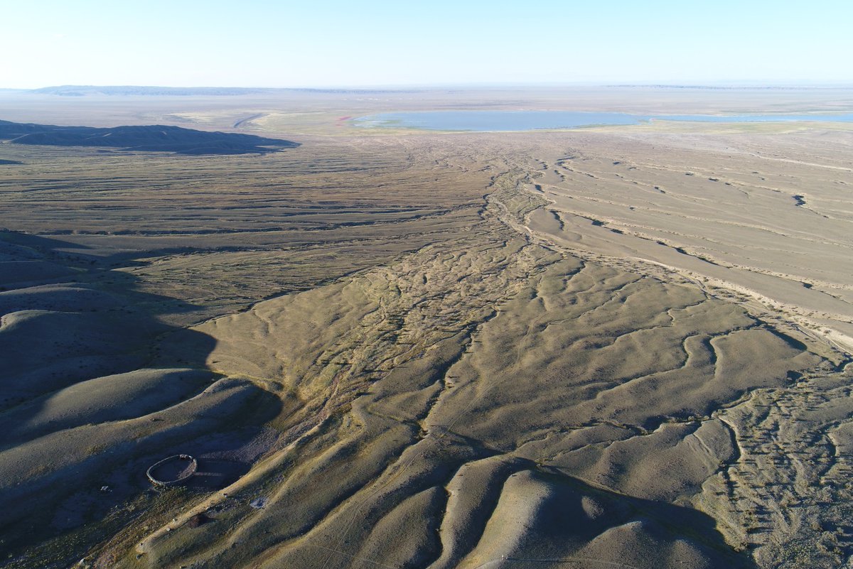
1/ Today marks the 63rd anniversary of the Gobi Altai earthquake in southern Mongolia. The earthquake created beautiful, fascinating ruptures that are preserved until today. I was lucky enough to spend the past four years unravelling the tectonic history of the area for my PhD.

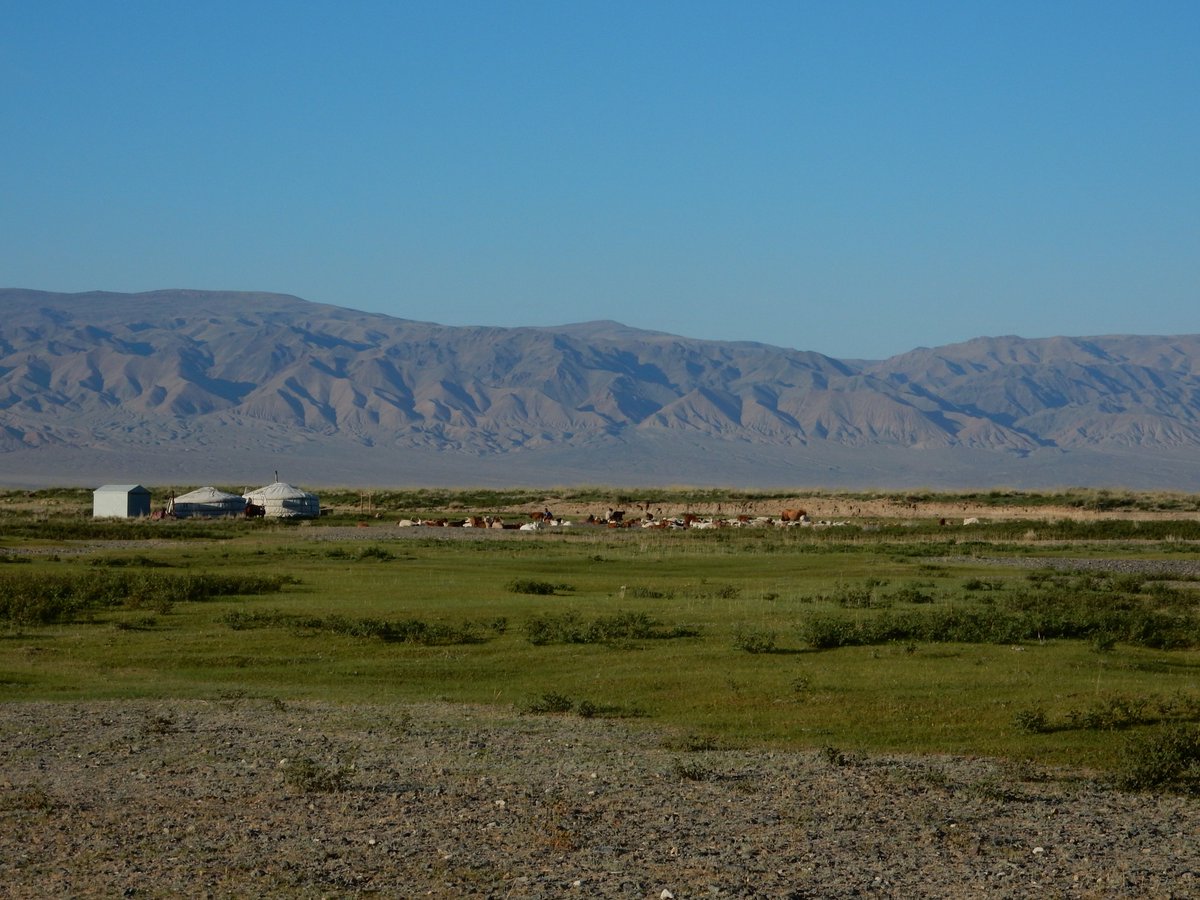
2/ Unfortunately, even in rural southern Mongolia, the 1957 earthquake came with the loss of lives. Snow avalanches and landslides became a risk for nomadic shepherds and their herds seeking shelter in the mountains from the strong winter winds in the surrounding basins.
3/ 30 lives were lost. According to local stories, people and animals were still heard for days, buried and trapped underneath the major Bitut landslide. May their stories live on, also in the memories of geologists eager to understand the complexity of the mountains’ history.
4/ The incredible preservation of offsets that occurred during the 1957 earthquake and the detailed records that were made only a few months after the event, help us to identify how often we can expect more of such earthquakes to occur so that we can prepare for them if necessary
5/ Because of the large distance of the Gobi Altai from any tectonic plate boundaries, earthquakes occur less often than they do elsewhere. So, geologists try to unravel the earthquake history of active faults from landscape changes over the past 10s to 100s of thousands of years
6/ Desert landscapes do not only record tectonic, but also climatic changes. To interpret the effects of earthquakes, we therefore have to find out how landforms were shaped and altered not only by tectonic activity, but also by climate variations and pre-existing geomorphology.
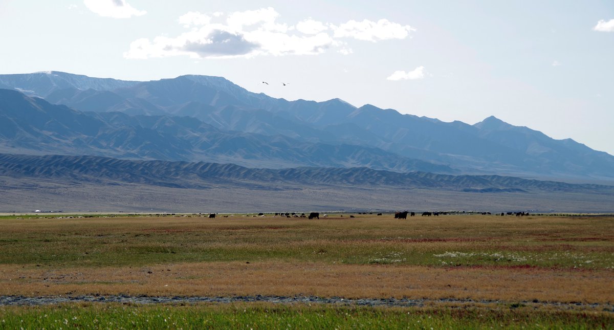
7/ During my PhD, I set out to determine whether earthquakes can only occur along the fault that ruptured in 1957 or whether there might be other, even slower faults, that could have the potential to accommodate large earthquakes. Spoiler alert: I found them! Can you spot one ?
?
 ?
?
8/ Other faults in the region may also cause major, M7 earthquakes and the fault system of the Gobi Altai is larger than we thought. Luckily, southern Mongolia is not densely populated, and the nomadic culture and infrastructure lowers the possible risk for the local population.
9/ I established the tectonic, climatic and geomorphological history of the southern Mongolian landscape since 400,000 yrs. This was possible, because tectonic movements are still visible in the desert landscape and are not buried by younger sediments, or eroded by rain or wind.
10/ We can use the methods and results I obtained from southern Mongolia and apply them to more densely populated, intracontinental areas, to develop better assessments of seismic hazard and to prepare people and infrastructures for potential earthquakes in the future.
11/ If you would like to read more about my work, take a look at this paper in Geomorphology ( https://doi.org/10.1016/j.geomorph.2020.107330), at this poster ( https://doi.org/10.5194/egusphere-egu2020-949), and stay tuned for a paper on the regional landscape history that will come out soon!
12/12 I will be defending my PhD thesis on 17/12/2020. I feel honoured to have had the chance to work on these beautiful Mongolian faults and I am looking for a postdoc position to apply my knowledge elsewhere, starting ASAP. Please let me know if you hear of any open positions!

 Read on Twitter