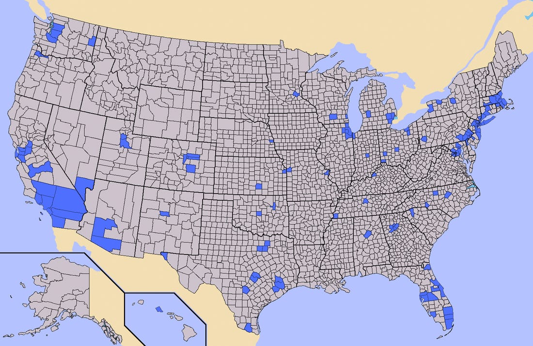
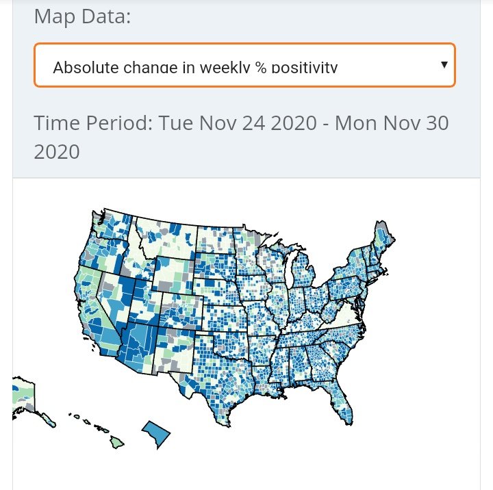
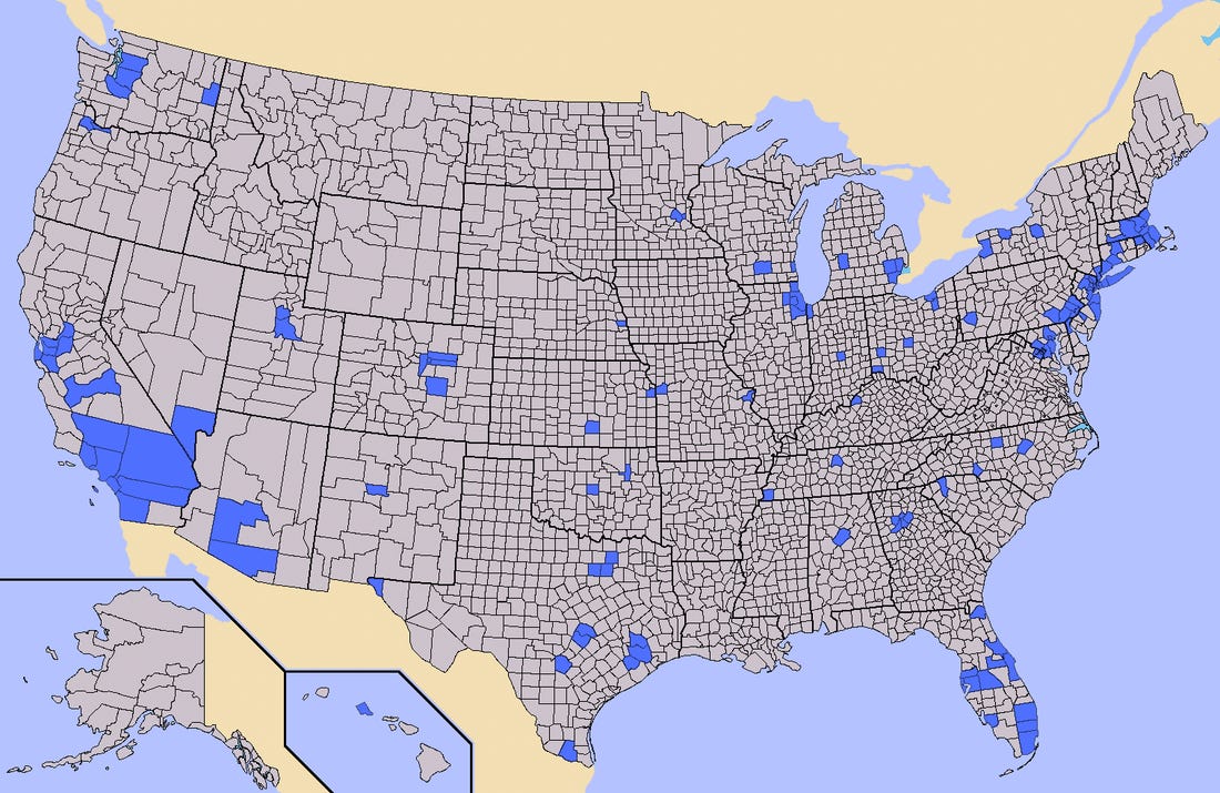
One way of looking at all those covid maps of the country turning red:
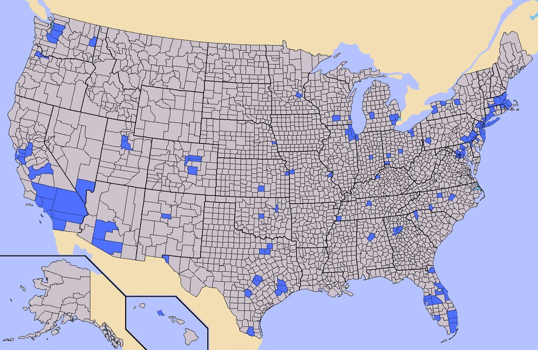
Half the population lives in the blue parts.
Hospitals are where people live.
Half the population lives in the blue parts.
Hospitals are where people live.
If you live in one of those blue spots, you live near hospitals. Big hospitals, because that's where half the population lives.
If you don't live in one of those blue spots, you have smaller hospitals, farther away from you. Because hospitals are where the people are.
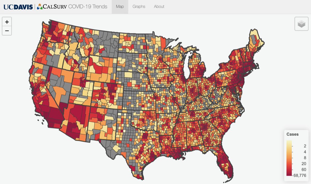
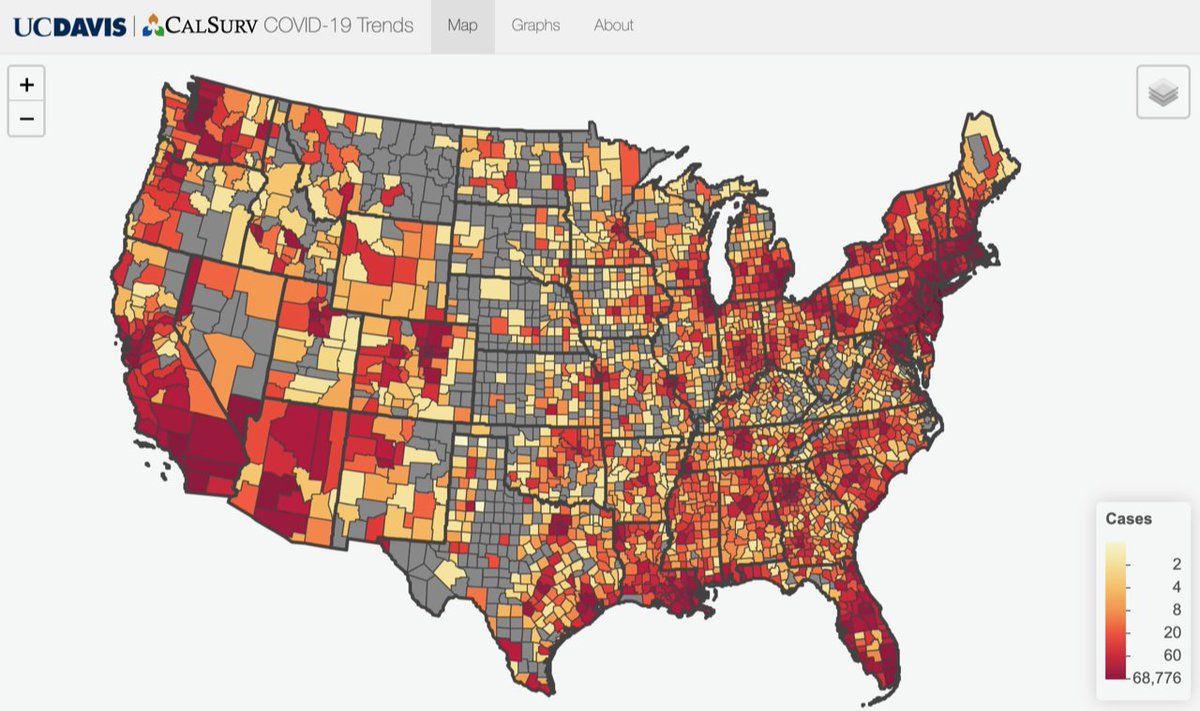
Go here https://covid19.calsurv.org to see an interactive map of covid hot spots by county.
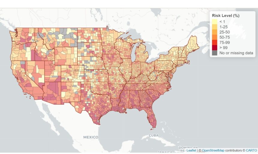
You'll get maps like this
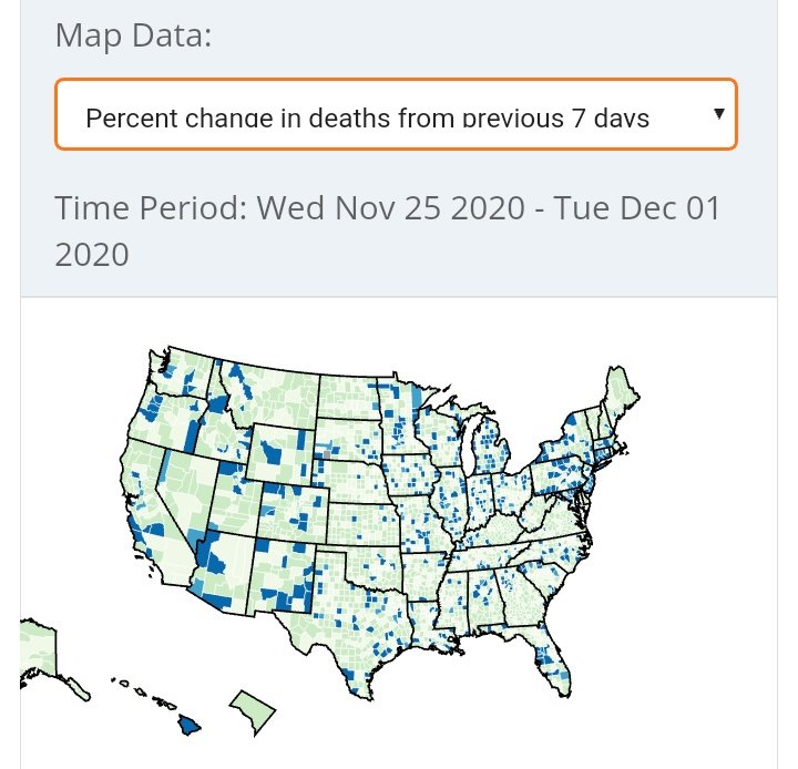
You'll get maps like this
Every county that's a hotspot, that is not one of these blue counties, is a place with much, much less hospital per person.
These are counties which may not even have a hospital. The nearest hospital may be the next county over, and that may literally have a handful of beds and a handful of doctors.
Those hotspots outside of where half the population lives, are hotspots where there may be no healthcare available with even a moderate increase in numbers.
Meanwhile, LA county has 10 million people and less than 100 beds available.
How do you think these places will fare?
Meanwhile, LA county has 10 million people and less than 100 beds available.
How do you think these places will fare?
If you live in one of these blue areas, your outbreak will be larger, because covid infects people, not land.
If you live outside them, your outbreak will be deadlier, because hospitals are built where people live.
If you live outside them, your outbreak will be deadlier, because hospitals are built where people live.
Whole regions of the country where people are getting sick and dying, where the nearest hospital is far away *and* inadequate

 Read on Twitter