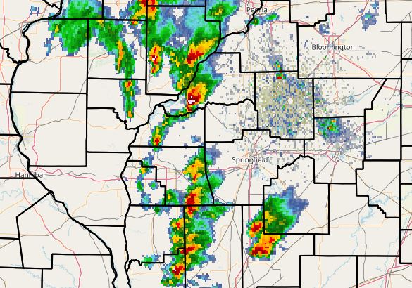
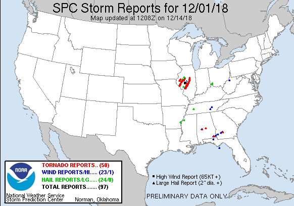
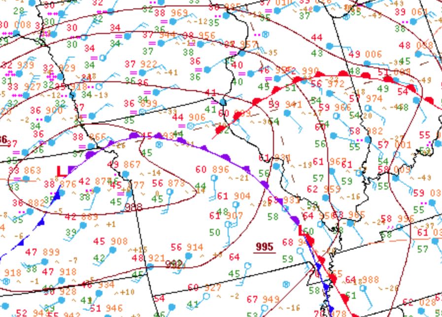
Two years ago today - the 3rd largest tornado outbreak in Illinois history. Nevermind the calendar, this was a rather textbook setup for an outbreak of cyclic supercells in the Midwest.
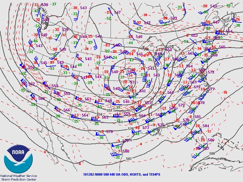
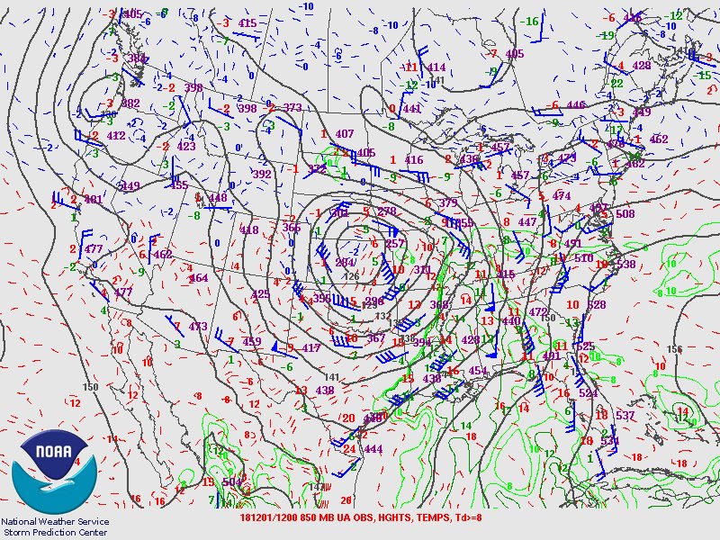
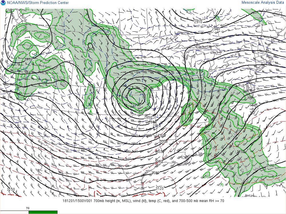
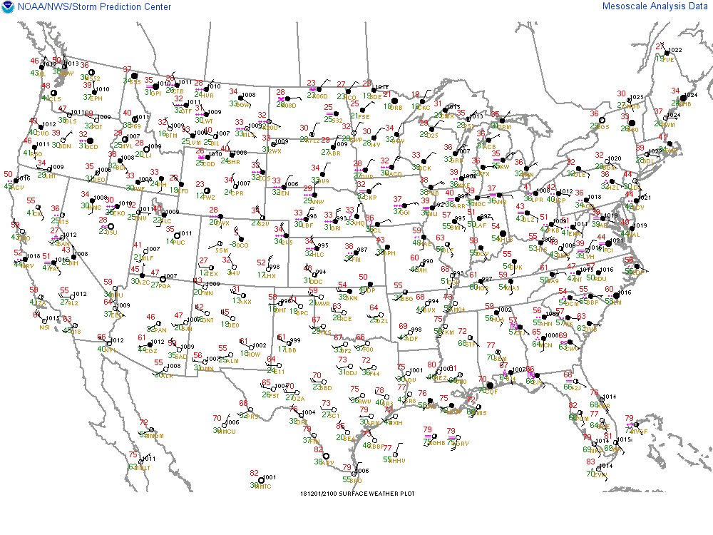
The backdrop was a longwave trough over the western US with a lead wave ejecting across the Central Plains on December 1st. Upstream ridging had allowed for several days of moisture return, with a screaming LLJ transporting moisture from the Gulf of Mexico overnight into the 1st.
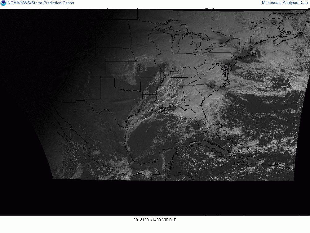
This event doesn't happen without the well-timed arrival of the expansive 700 mb dry-slot. Early morning rain and cloud cover evacuated the target area shortly after sunrise, leading to a pristine warm sector that saw almost unimpeded sunshine into the early afternoon.
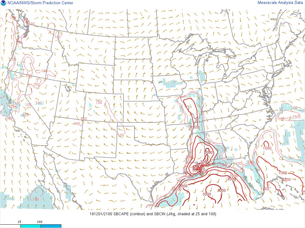
The result was a highly sheared warm sector with low 60s temps and mid-50s dew points which may not register with our spring/summer expectations, but beneath -20 deg C H5 temps you've got a passable 1,000 j/kg MLcape, steep low-level lapse rates, and mini-supercells by 1 PM.
Again, without the pristine all-day warm sector this is just another forgettable storm system.
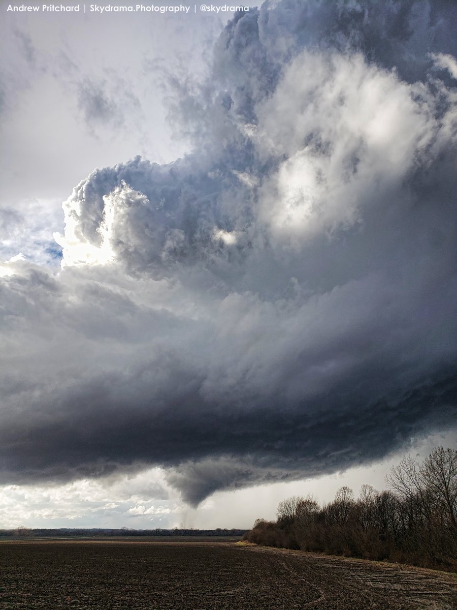
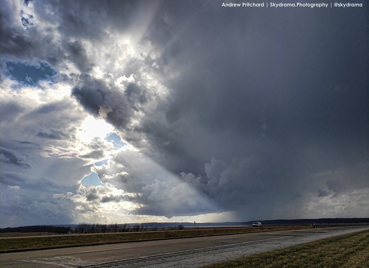
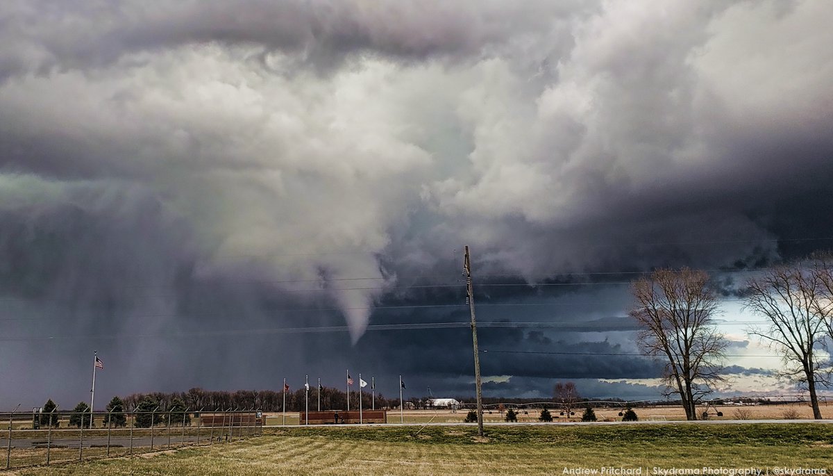
But with the magnitude of that mid-level dry punch, we not only ended up with an historic, cold season tornado outbreak but a December chase day with high contrast visibility to-boot:
But with the magnitude of that mid-level dry punch, we not only ended up with an historic, cold season tornado outbreak but a December chase day with high contrast visibility to-boot:

 Read on Twitter
