Some interesting early maps of Cornwall — new post by me :) https://www.caitlingreen.org/2020/11/some-interesting-early-maps-of-cornwall.html
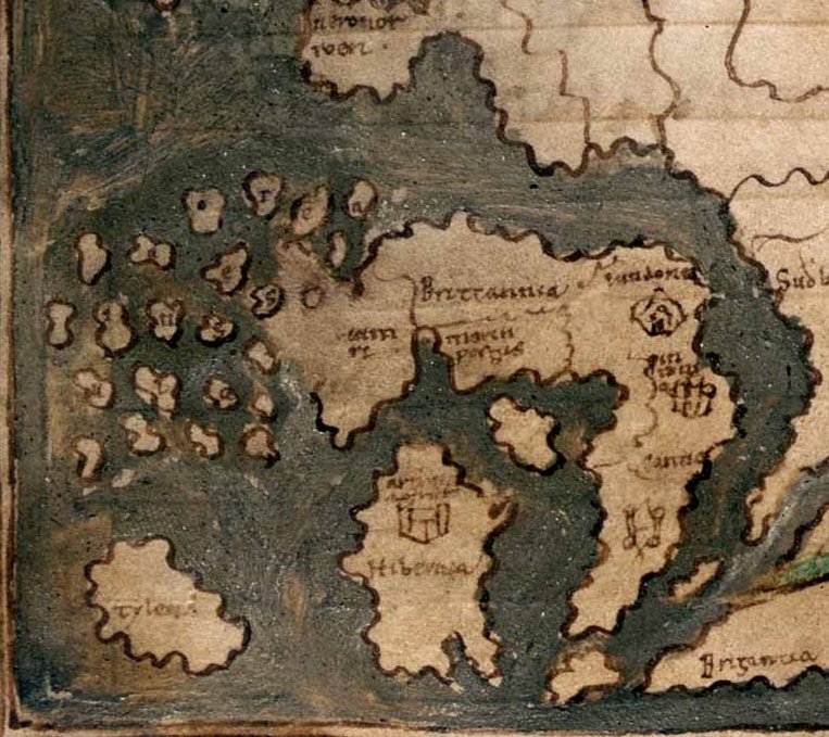
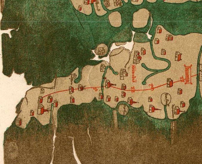
Detail from the Anglo-Saxon world map in Cotton MS Tiberius B V/1, dated c. 1025–50, probably drawn at Canterbury and derived from a Roman original; it shows an exaggerated Cornish peninsula with two ?fighting figures on it: https://www.bl.uk/collection-items/anglo-saxon-world-map
Al-Idrīsī's mid-12th-century Arabic map of Britain, pieced together by me from three drawings in a 16th-century copy (MS Pococke 375: https://digital.bodleian.ox.ac.uk/inquire/p/636369c4-8e8b-4ace-8b99-c44643cb5975). Cornwall is again exaggerated and termed 'the extremity of England'. For more on this map, see https://www.caitlingreen.org/2016/03/al-idrisi-twelfth-century-map.html
Map of Cornwall and the South-West, extracted from the map of England by Matthew Paris, c. 1250; the place-name on the far west of Cornwall is Bodmin, with Tintagel then to the north-east of this.
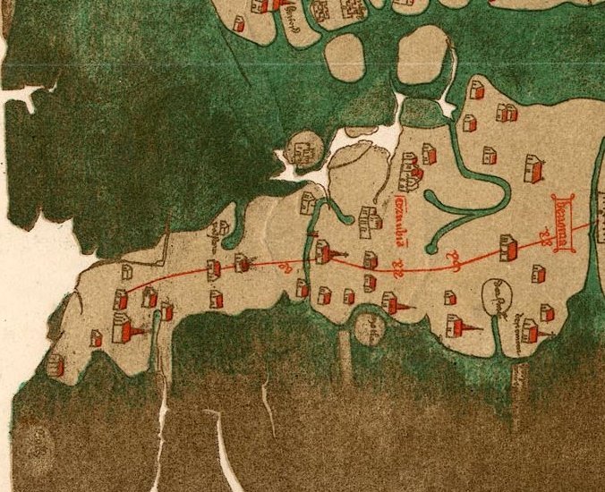
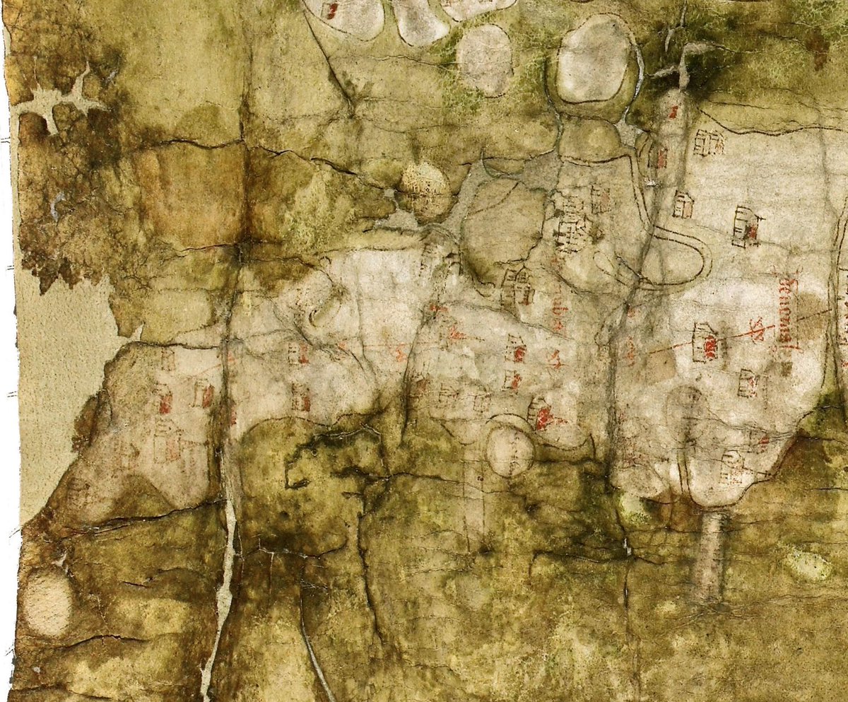
Close up of Cornwall and Devon on the fourteenth-century Gough Map. Important places are marked and the road is believed to terminate at St Ives, which is potentially a point of some interest with regard to St Ives's local import in the medieval era: http://www.goughmap.org/map/
Extract from the Angliae Figura showing Cornwall and Devon, a vellum map probably created in the 1530s and perhaps hanging at Hampton Court as the property of Henry VIII: http://www.bl.uk/onlinegallery/onlineex/unvbrit/a/001cotaugi00001u00009000.html
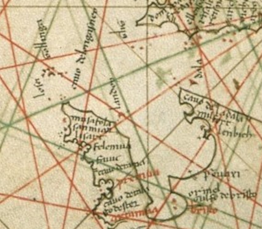
Three medieval portolans showing Cornwall and Devon, dated c.1331, 1466 & 1510; note the increasing detail on the north coast. The places named include Mousehole, St Michael's Mount, Falmouth, Fowey and Plymouth—see https://www.caitlingreen.org/2020/11/some-interesting-early-maps-of-cornwall.html for more details on each of these maps.
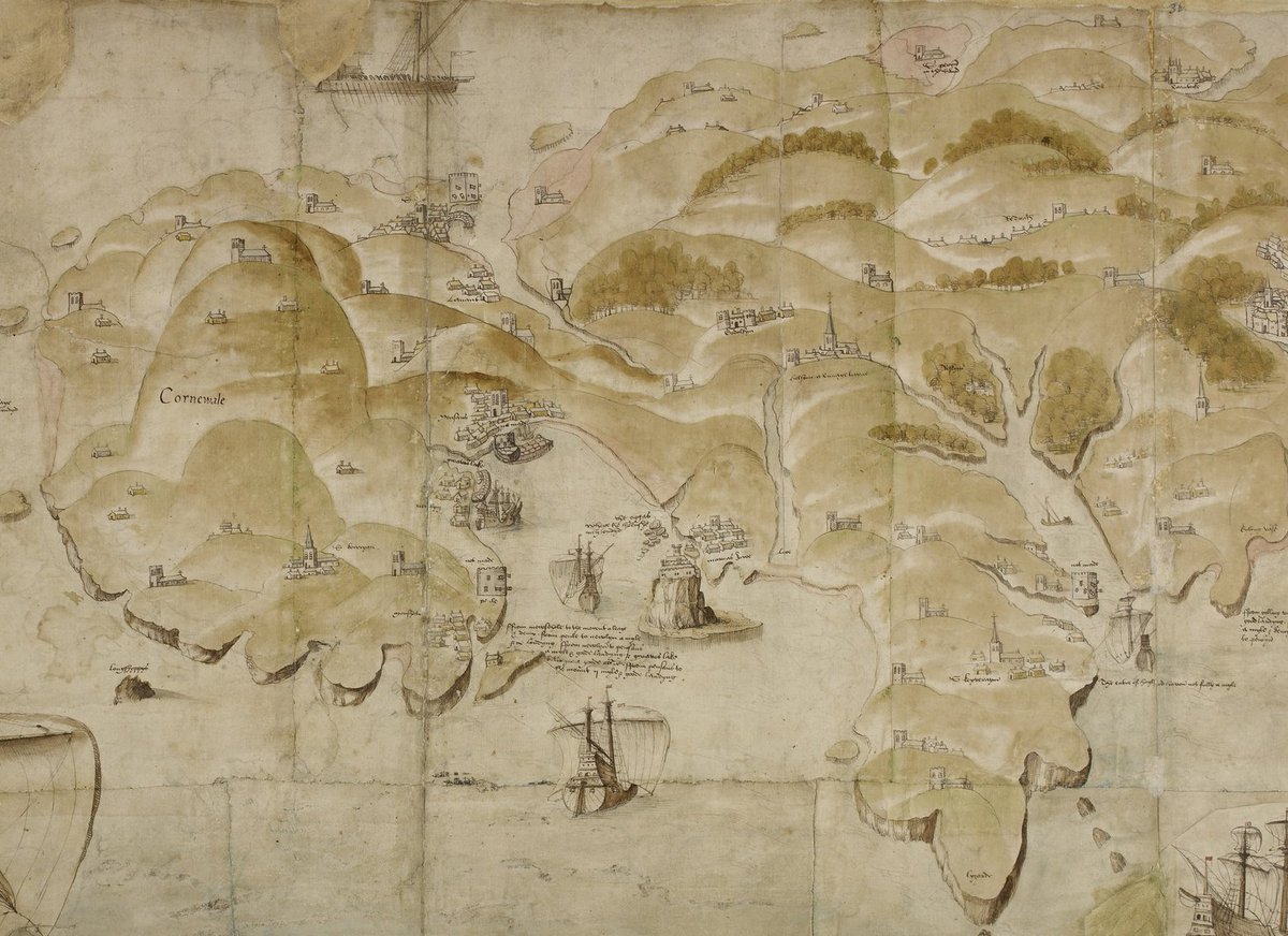
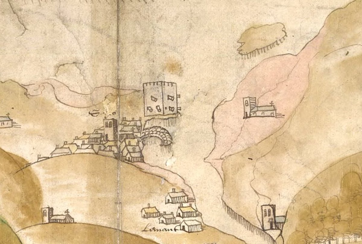
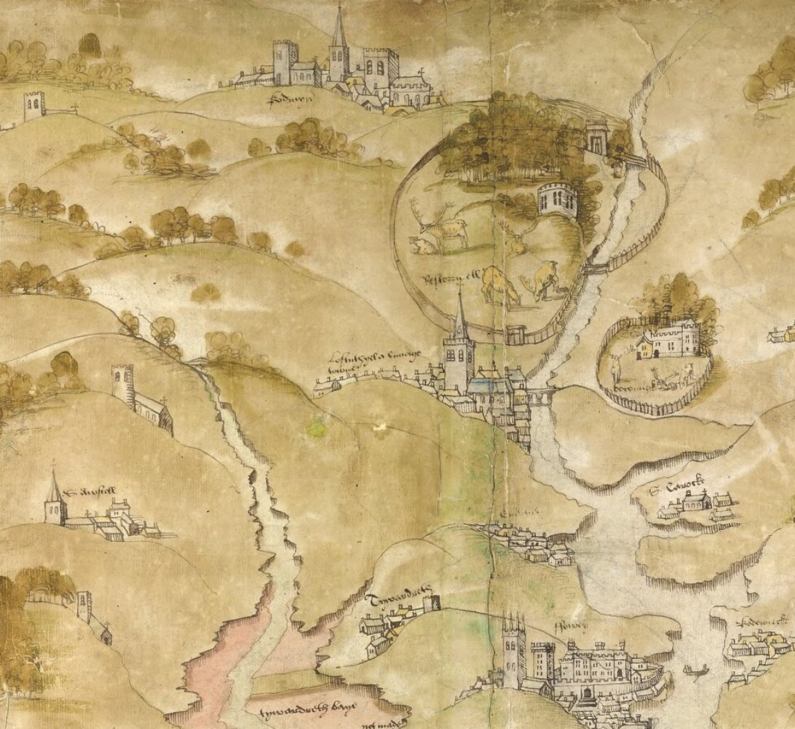
A fascinating ten-foot-long map of the south-west coast of England from Exeter to Lands End, dated 1539-40; I could zoom in and out of this all day! For a zoomable version, see https://images.iiifhosting.com/iiif/54b2fd5df4cd734306d5fcef8deee37f80602f08a65533088090177939d9745b/ The extracts used here include Mount's Bay, St Ives, Phillack & Lostwithiel.
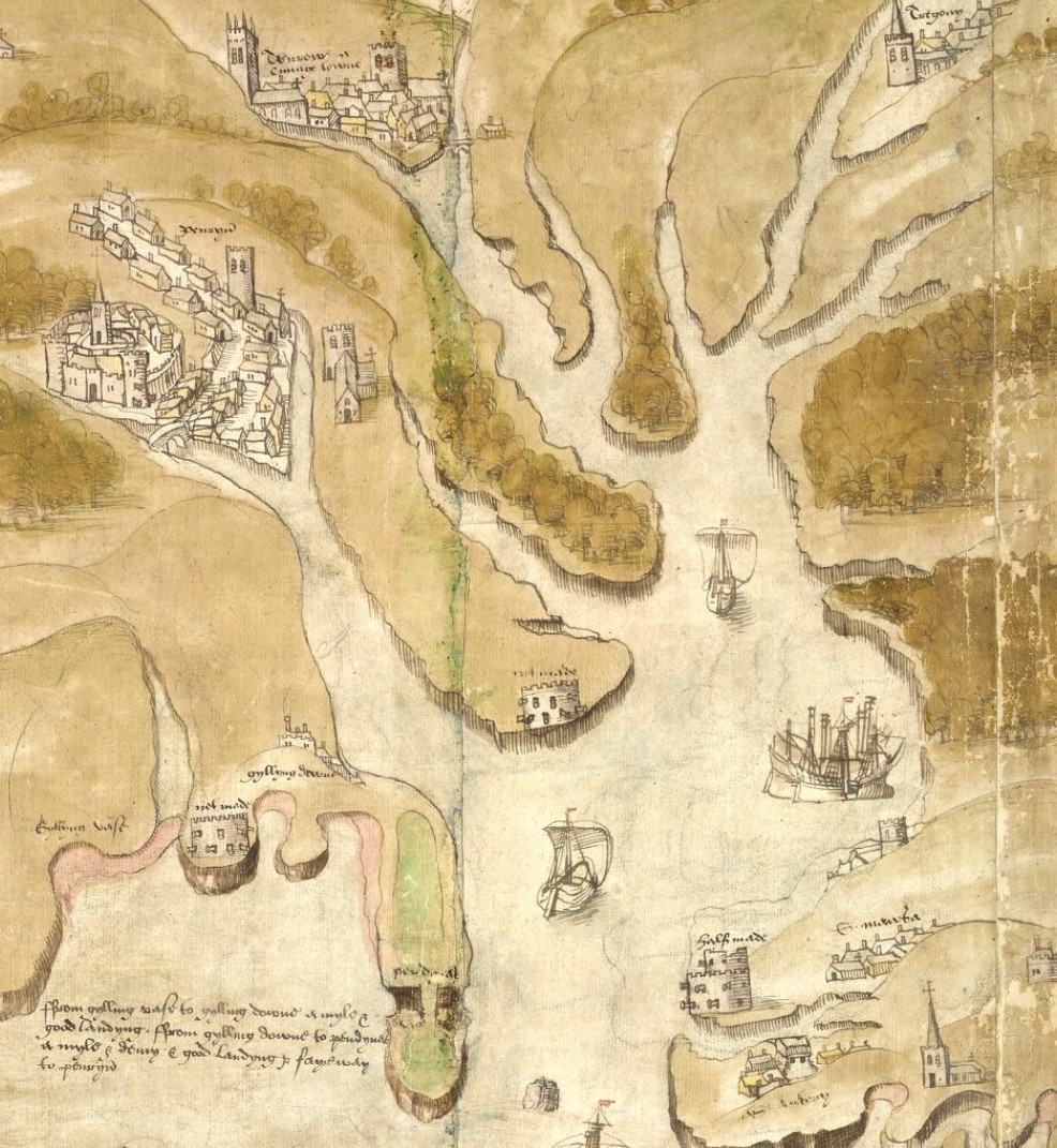
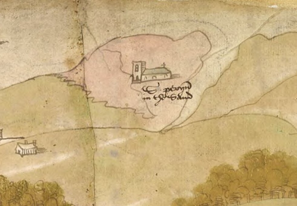
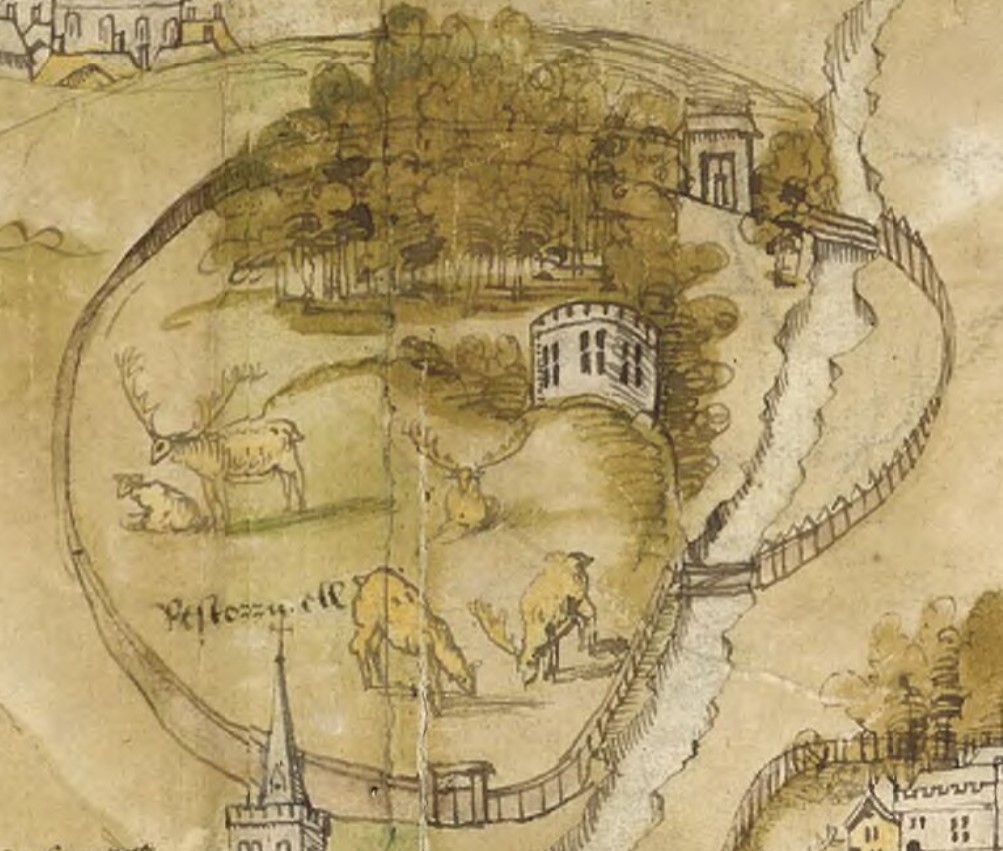
Some more details from the huge 1539-40 map of Cornwall: Falmouth Haven up to Truro, St Piran's old church in the dunes of Penhale Sands (Perranzabuloe), and the medieval deer park at Restormel (founded before 1331): https://images.iiifhosting.com/iiif/54b2fd5df4cd734306d5fcef8deee37f80602f08a65533088090177939d9745b/
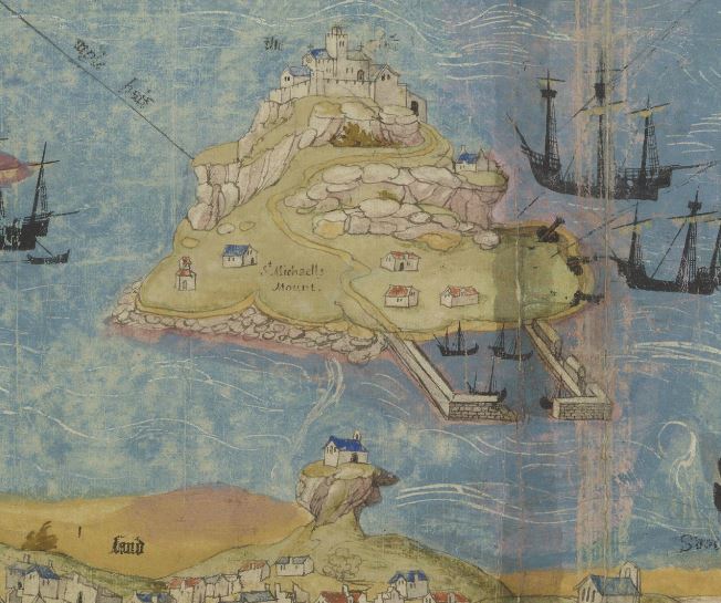
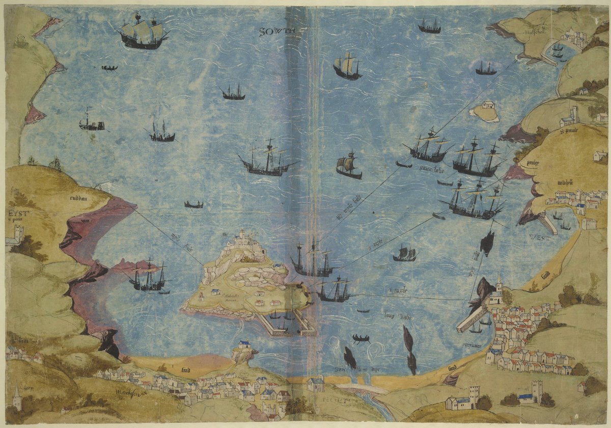
Mount's Bay in around 1540 under a hypothetical invasion scenario, showing Mousehole on the top right, Penzance on the bottom right, St Michael's Mount in the bay, and Chapel Rock between the Mount and Marazion still with its chapel upon it: https://www.bl.uk/collection-items/mounts-bay-cornwall
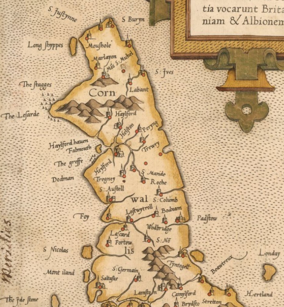
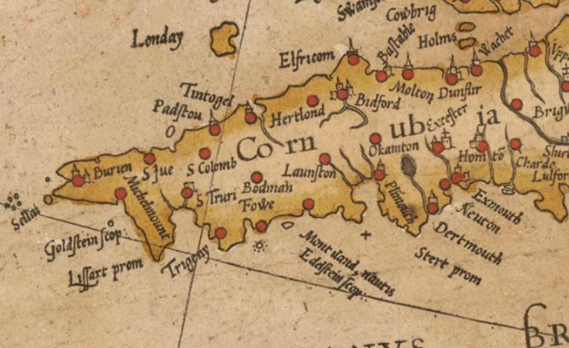
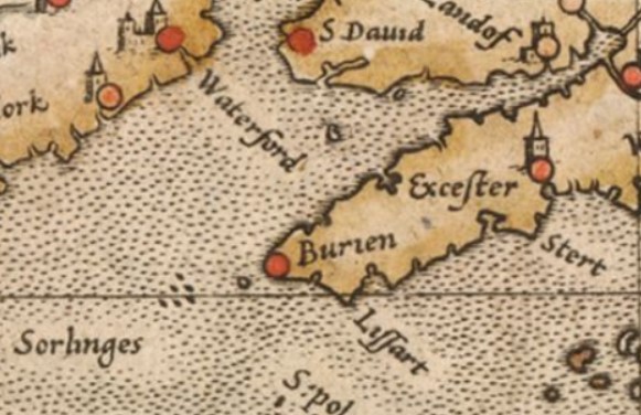
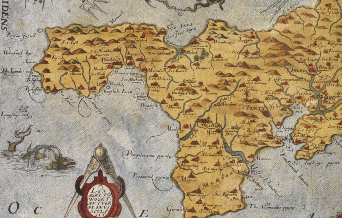
Three views of Cornwall from Mercator's Atlas of Europe, put together in the early 1570s; the most detailed was engraved by Mercator from an English original produced to assist the French/Spanish in planning an invasion to overthrow Queen Elizabeth: https://www.bl.uk/collection-items/mercator-atlas-of-europe
With William Saxton's Map of Cornwall, dated 1576, things start to get a lot more accurate, with a large number of settlements and rivers etc missing from previous maps now included; pictured here is an extract showing the westernmost part of Cornwall: http://www.bl.uk/manuscripts/Viewer.aspx?ref=royal_ms_18_d_iii_f008r
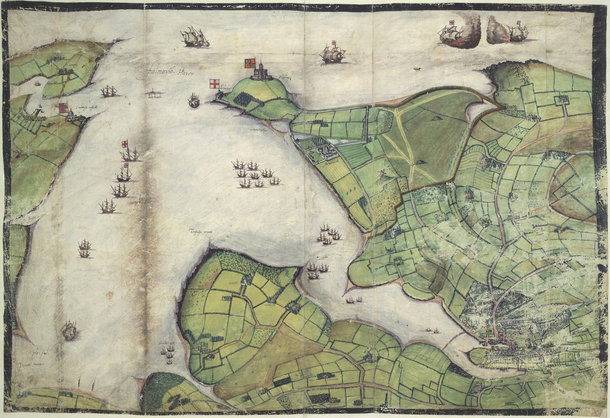
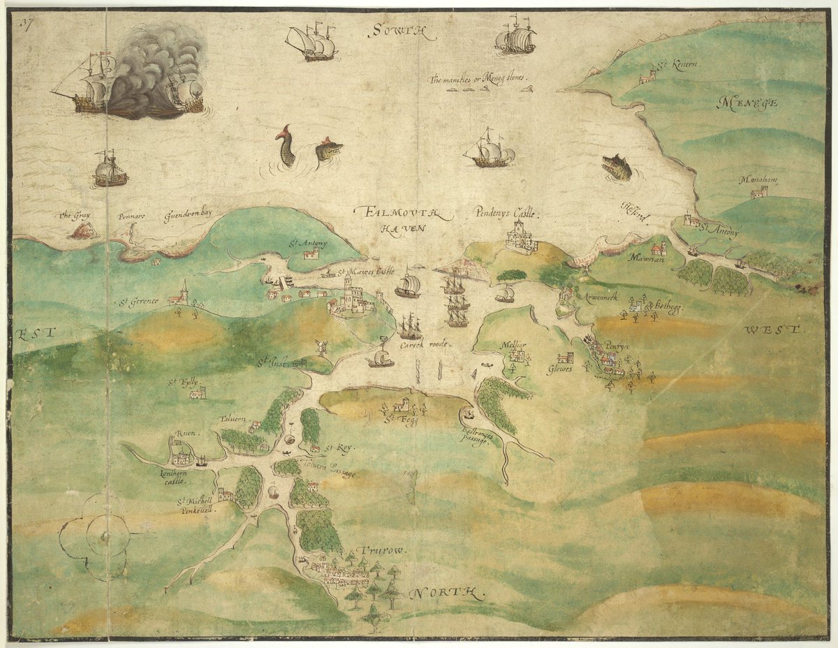
A map of Falmouth Haven from the atlas of William Cecil, Lord Burghley, dated 1595. It takes the form of a bird's eye view of Falmouth Haven, with St Mawes and its larger sister castle, Pendennis at the mouth: https://britishlibrary.georeferencer.com/maps/2a0d5c68-1403-569f-a347-ef23e9def27d/
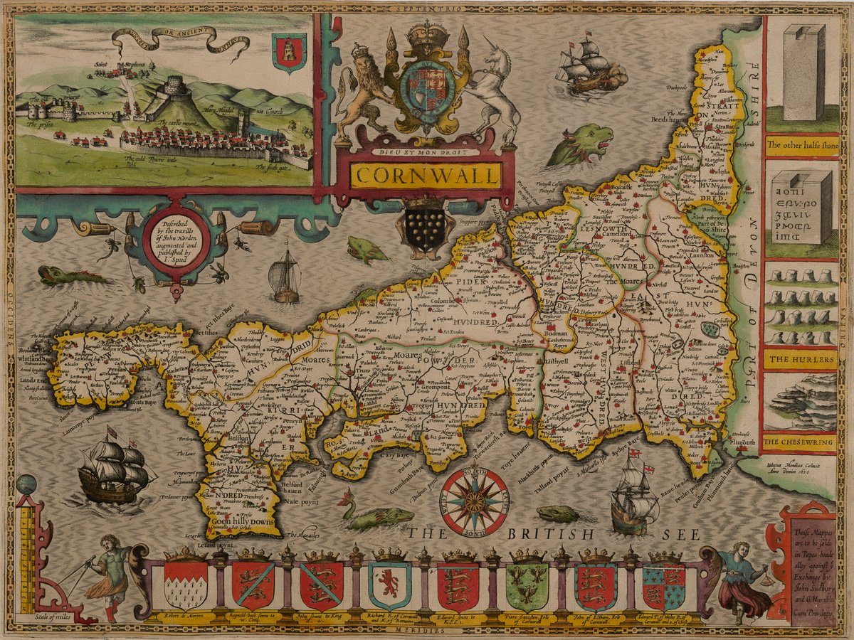
Proof version of John Speed's 1611/12 map of Cornwall, which closely followed the Saxton map of 1576 in offering a much more accurate and detailed depiction of the county, but includes additional settlements, rivers and other details: http://cudl.lib.cam.ac.uk/view/PR-ATLAS-00002-00061-00001/18
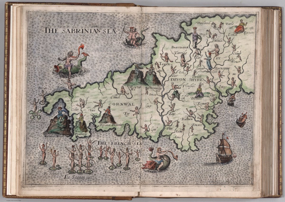
A map of Cornwall and Devon with places and rivers represented anthropomorphically, drawn by William Hole and used to illustrate Michael Drayton's Poly-Olbion, from a copy dated 1622: https://www.davidrumsey.com/luna/servlet/detail/RUMSEY~8~1~285604~90058157#
Map of Falmouth Haven and the River Fal as far as Truro, c. 1598–99: https://www.bl.uk/collection-items/map-of-falmouth-haven-and-the-river-fal-as-far-as-truro

 Read on Twitter