So here is another "Hasbara" bullshiter who hints that there was no such a place as Humsa before 2010.
Let's start with 1 correction:
Humsa is a herding community that belongs to Tamun, a medium size Palestinian town, 10 km northwest, within the PA controlled areas.
A thread https://twitter.com/elderofziyon/status/1324699174009475073
Let's start with 1 correction:
Humsa is a herding community that belongs to Tamun, a medium size Palestinian town, 10 km northwest, within the PA controlled areas.
A thread https://twitter.com/elderofziyon/status/1324699174009475073
So they are not "Bedouin". It's a Falahi community that resides on its own land.
The Hasbara bullshiter establishes his claim as expected, on the Israeli radical right GONGO Regavim.
More on Regavim and who are the people behind it, you can read here: https://www.keremnavot.org/enregavim
The Hasbara bullshiter establishes his claim as expected, on the Israeli radical right GONGO Regavim.
More on Regavim and who are the people behind it, you can read here: https://www.keremnavot.org/enregavim
The way Regavim works is focusing on limited size compounds inorder to show that nothing was there in the past. This is what they did also in khan Al Ahmar (a Bedouin community).
https://www.israeltoday.co.il/read/an-eu-funded-land-grab/
This is how they de contextualise each case. We will start with context
https://www.israeltoday.co.il/read/an-eu-funded-land-grab/
This is how they de contextualise each case. We will start with context
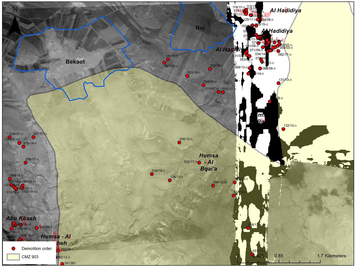
The area where Humsa is, was declared as "firing zone" which is by default also a"close military zone", in August 1967, few months after Israel occupied the West Bank. The area is included within firing zone 903 which is one of the largest in the West Bank (about 80,000 dunams).
In August 67 the Israeli military training system wasn't in the West Bank. Actually Israel didn't even know how long it will remain In the West Bank, but they knew that want to limit the Palestinian population movement, especially along the new de facto border with Jordan.
So they declared just about all the area between Tubas in the north and Jericho in the south as firing zones, starting with firing zone #900 in the north ending with #911 next to Jericho.
Also the entire strip along the Jordan River was declared as close military zone #151.
Also the entire strip along the Jordan River was declared as close military zone #151.
What was in Humsa area in 1967?
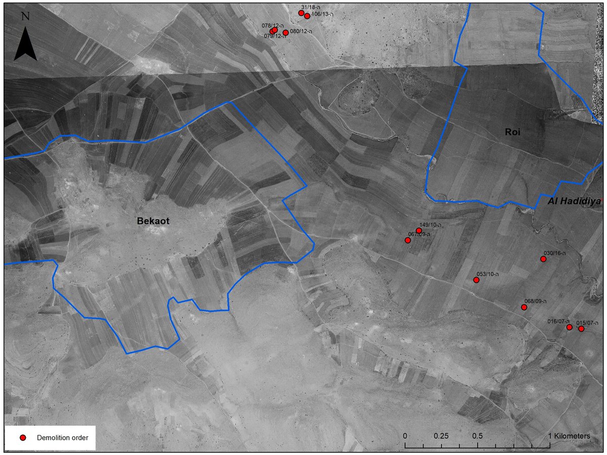
Look at the aerial photo: Life.
Cultivated parcels, where Palestinian Falahi (who belong to extended families) lived sometimes sessional and sometimes during the entire year. Depends who and when. This is how villagers lived all over the Levant.
Look at the aerial photo: Life.
Cultivated parcels, where Palestinian Falahi (who belong to extended families) lived sometimes sessional and sometimes during the entire year. Depends who and when. This is how villagers lived all over the Levant.
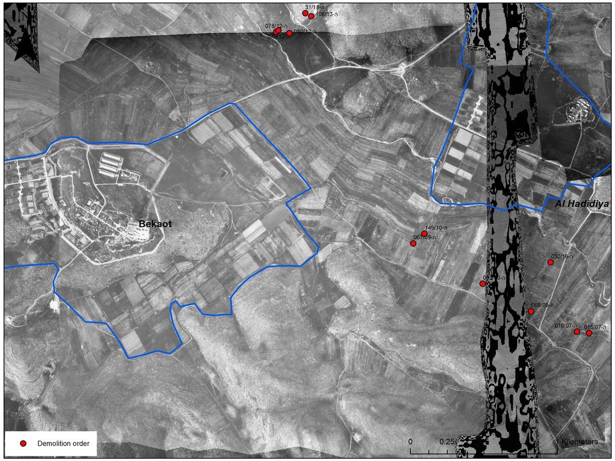
In the early 70ies israel built 2 settlements in the area. Naturally land was expropriated for the purpose. Here you can see what happened between 67 and 80. Hundreds of parcels that were cultivated by Palestinians till then were seized for "security needs" and given to settlers.
Palestinian farmers are stubborn, so they kept cultivating the areas around the settlements where they weren't deported from. This is how the area looked like in 1980: 2 settlements and around Palestinian farming land that was officially declared 13 years before as firing zone.
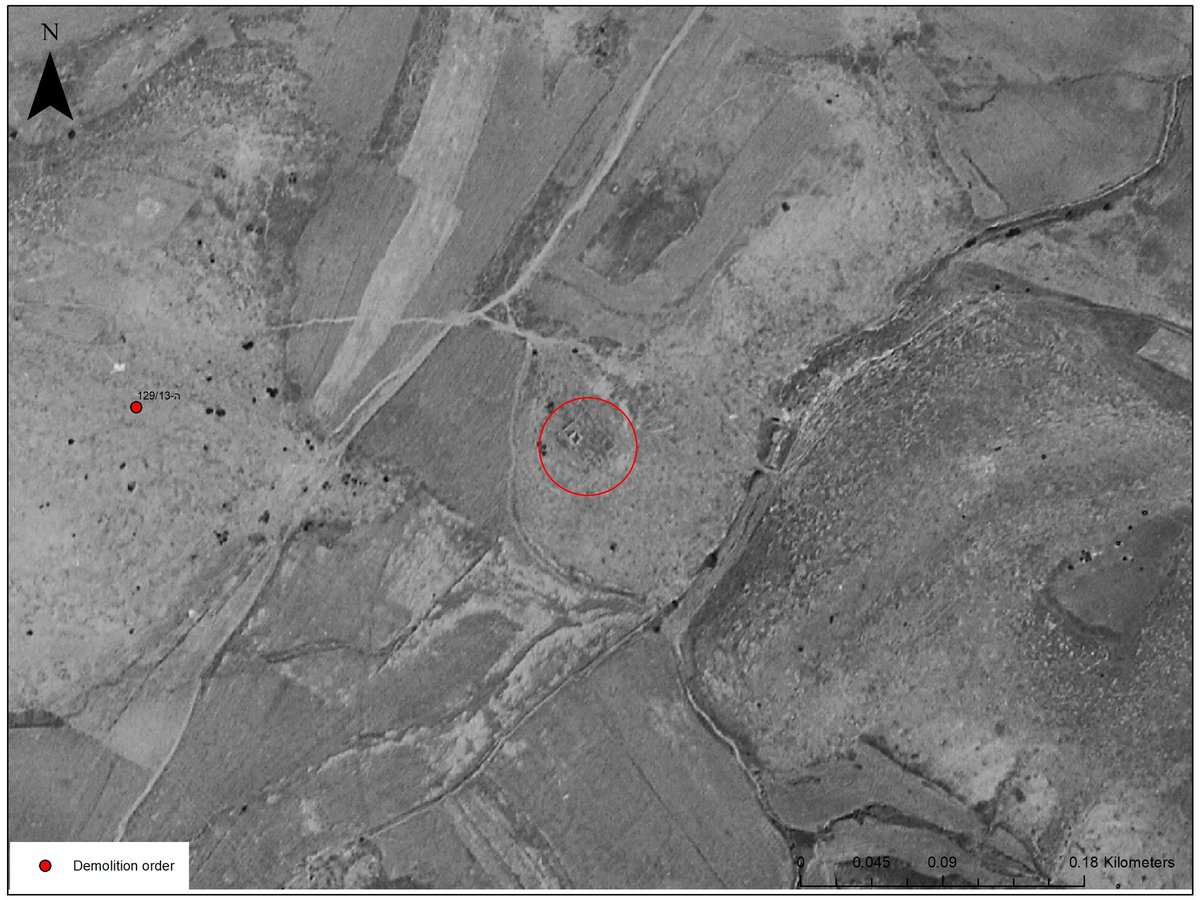
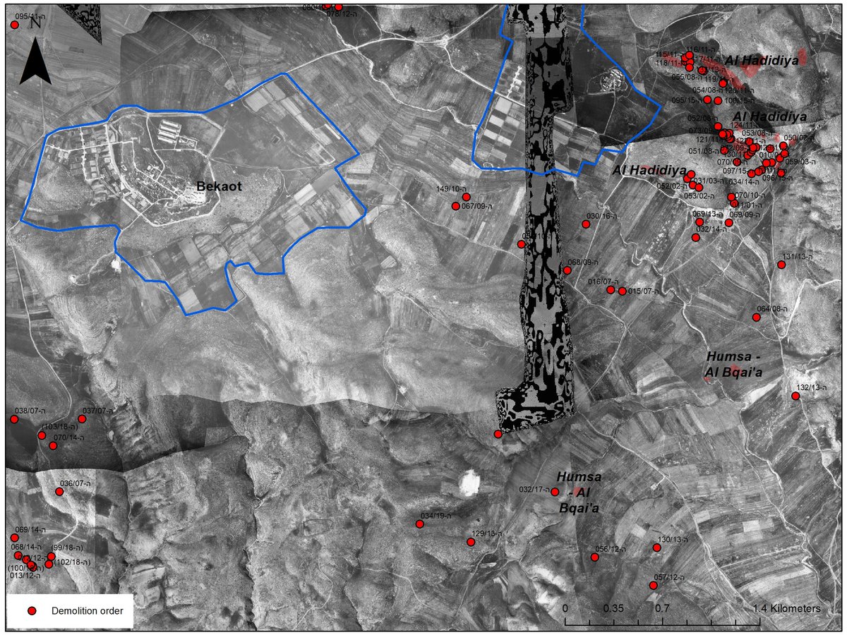
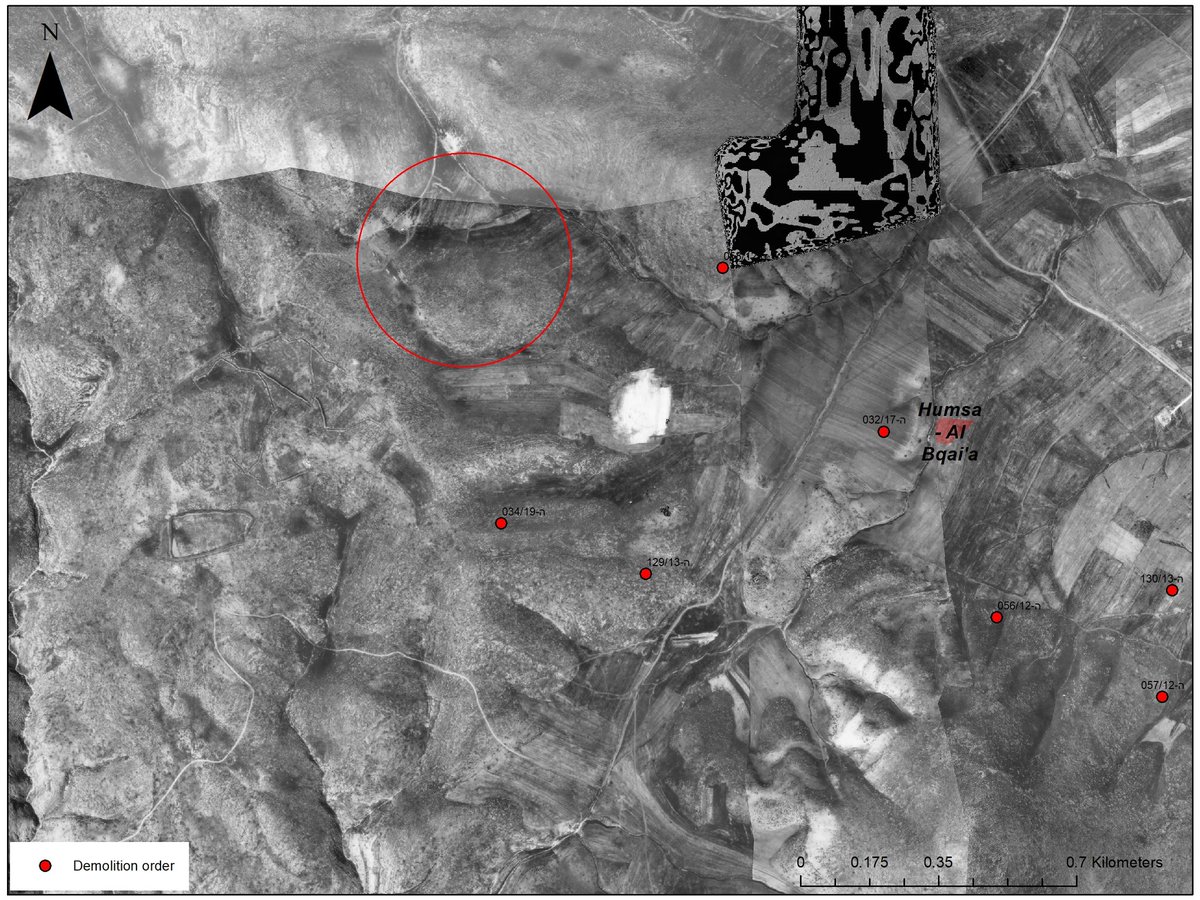
And what else was still there in 1980? Palestinian herding community by the name of Humsa, that was located about 1- 1.5 km away from where the structures that Israel demolished last week.
Remember Regavim trick? Focus and de contextualise. So we do exactly the opposite.
Remember Regavim trick? Focus and de contextualise. So we do exactly the opposite.
Let's jump to 1997: They were there
1999? They were there
2001? Were there
2002? Nothing!
How come? Most probably because of the 2nd Intifada, as it happened in other similar type of cases, like firing zone #918 in Masafrat Yatta. It was simply too dangerous to be there.
1999? They were there
2001? Were there
2002? Nothing!
How come? Most probably because of the 2nd Intifada, as it happened in other similar type of cases, like firing zone #918 in Masafrat Yatta. It was simply too dangerous to be there.
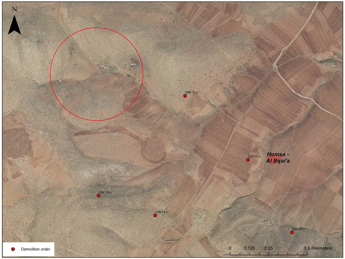
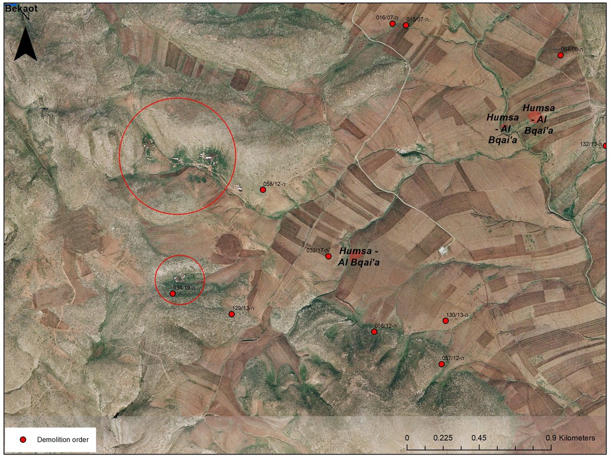
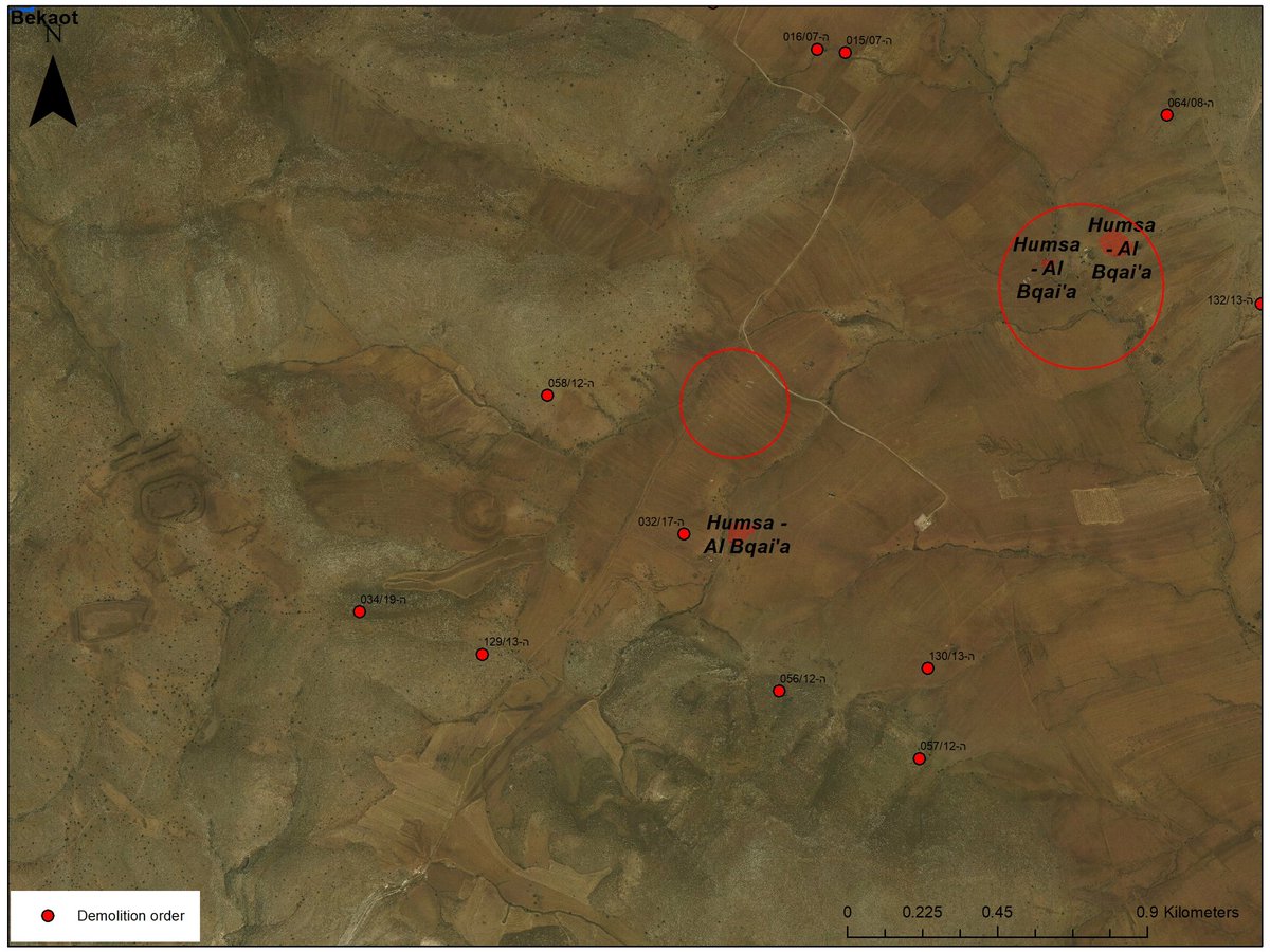
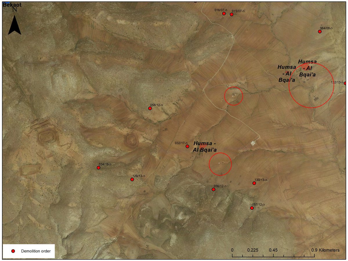
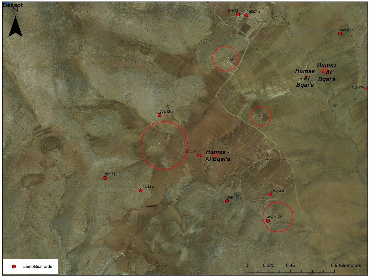
8-9 years had passed and it was safer again also for Palestinians to be in the area. Gradually the herding community started to recover. But the @IDF didn't like this Idea and started to issue demolition orders (the red spots).
You can see the gradual growth between 2010-2012.
You can see the gradual growth between 2010-2012.
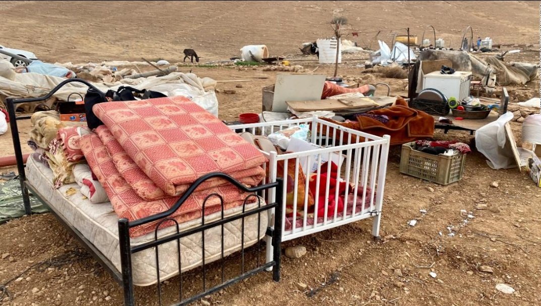
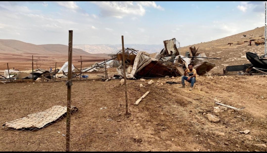
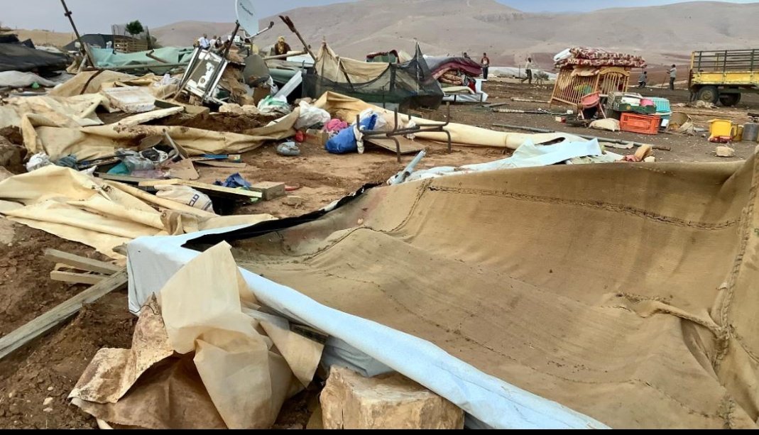
So this is what happened last week as a result.
Demolitions, namely deportations instead of official annexation.
After all the Israeli government is anxious to have peace with all the neighbors around. Especially with Bahrain and the Emirates.
Credit for the photos: CNN
Demolitions, namely deportations instead of official annexation.
After all the Israeli government is anxious to have peace with all the neighbors around. Especially with Bahrain and the Emirates.
Credit for the photos: CNN

 Read on Twitter
