If you're looking to take a few minutes off, I invite you to check out this brief Bloomberg profile on @SaloSciences and the forest monitoring system we just built: the California Forest Observatory ( @forestobs).
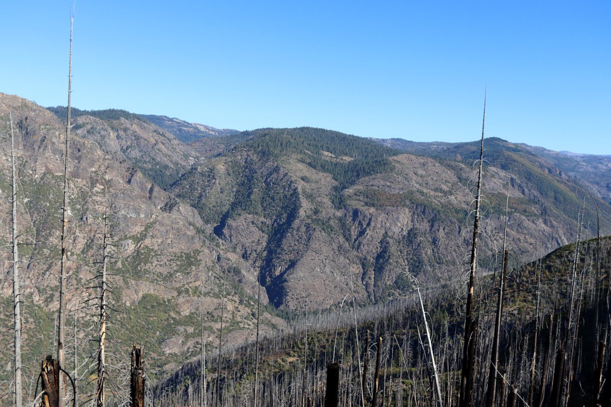
It was a good excuse to get out into the field to get a better intuition for how our statewide data map onto local conditions. It went well! Here are some photos from other places we explored on that trip (we were here: https://tinyurl.com/y6qwa59x )
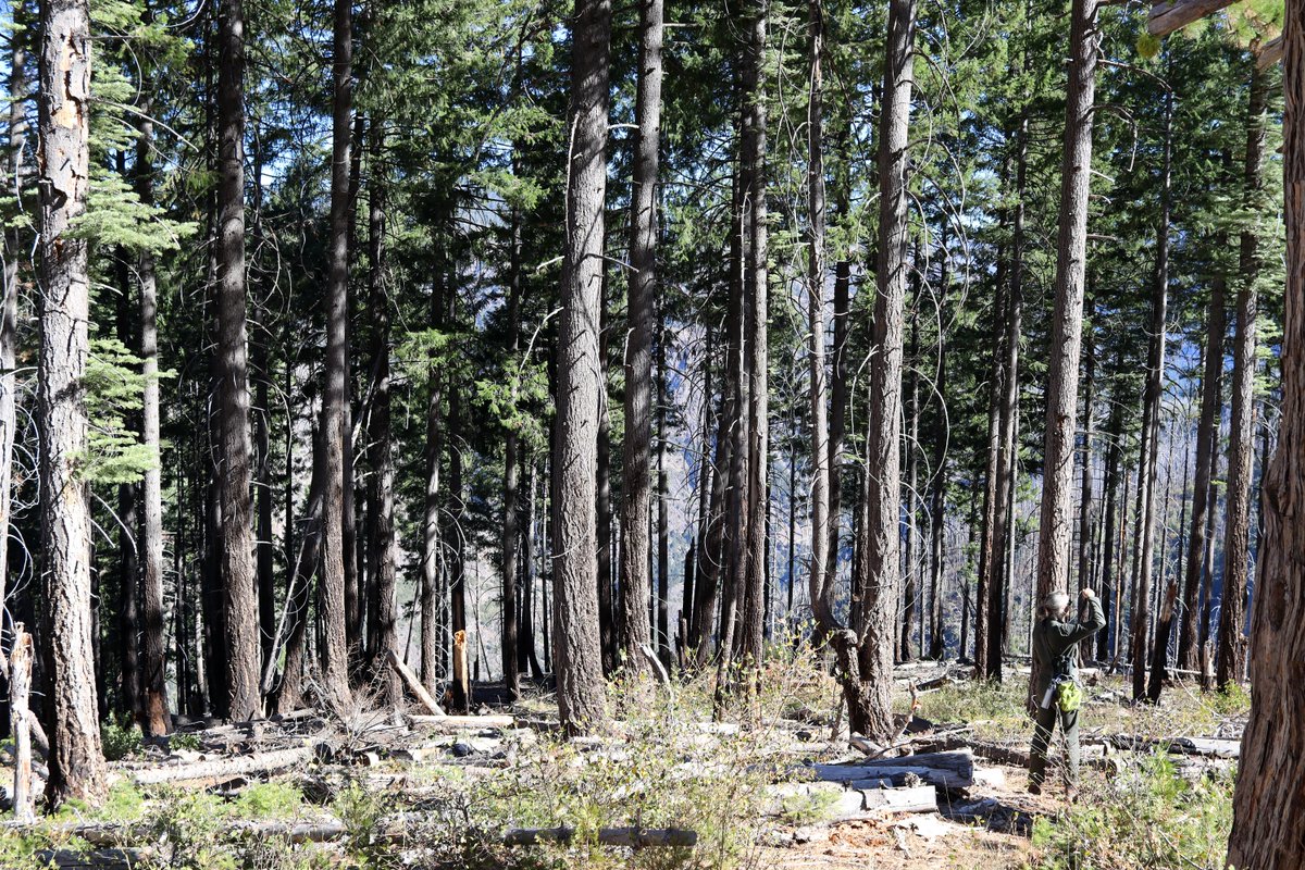
The American Fire came through here in 2013, burning the area at high intensity, scorching many trees ( https://fire.ca.gov/incidents/2013/8/10/american-fire/). But the flames weren't tall enough to get many canopies--now a ton of tree clusters across the mountain have clear understories (high base height).
The transitions between communities that were totally defoliated and those with their canopies still intact were pretty stark. But in both cases the understory shrubs were thriving.
@dmarvs did a great job in the @BW profile I linked to earlier, and I got this photo of him looking just downright intrepid in the woods. His A̵n̵c̵h̵o̵r̵s̵t̵e̵a̵m̵ ̵u̵n̵i̵f̵o̵r̵m̵ green coveralls really help him blend in!
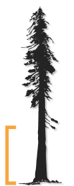
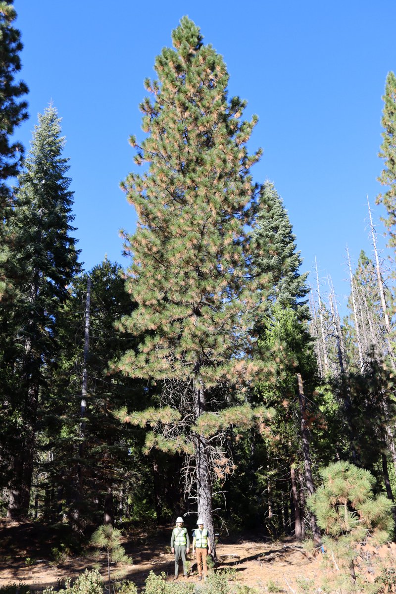
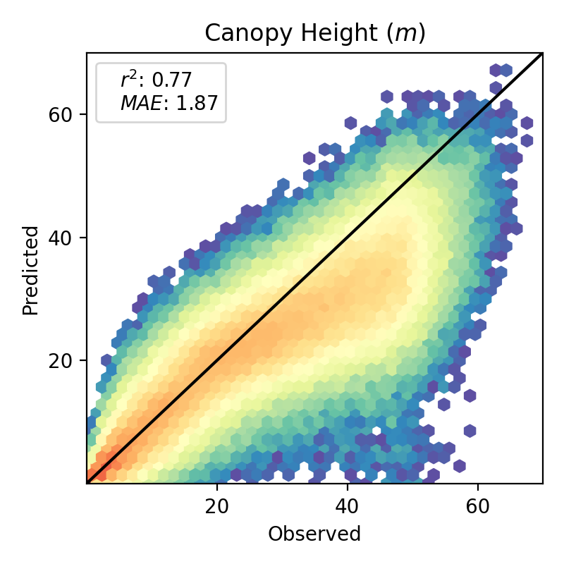
I also made @dmarvs and @KyleGertridge stand by this 28 m tall tree (we predicted it was 25 m via the @forestobs) as references. They're both tall boys, a few inches past 6ft, which conveniently matches the mean absolute error of CFO tree height predictions.
Anyway, that's it from me. I had a blast on this trip. Check us out at https://forestobservatory.com/ and at https://salo.ai/ . Thanks much for the feature, @BW and @valleyhack!

 Read on Twitter