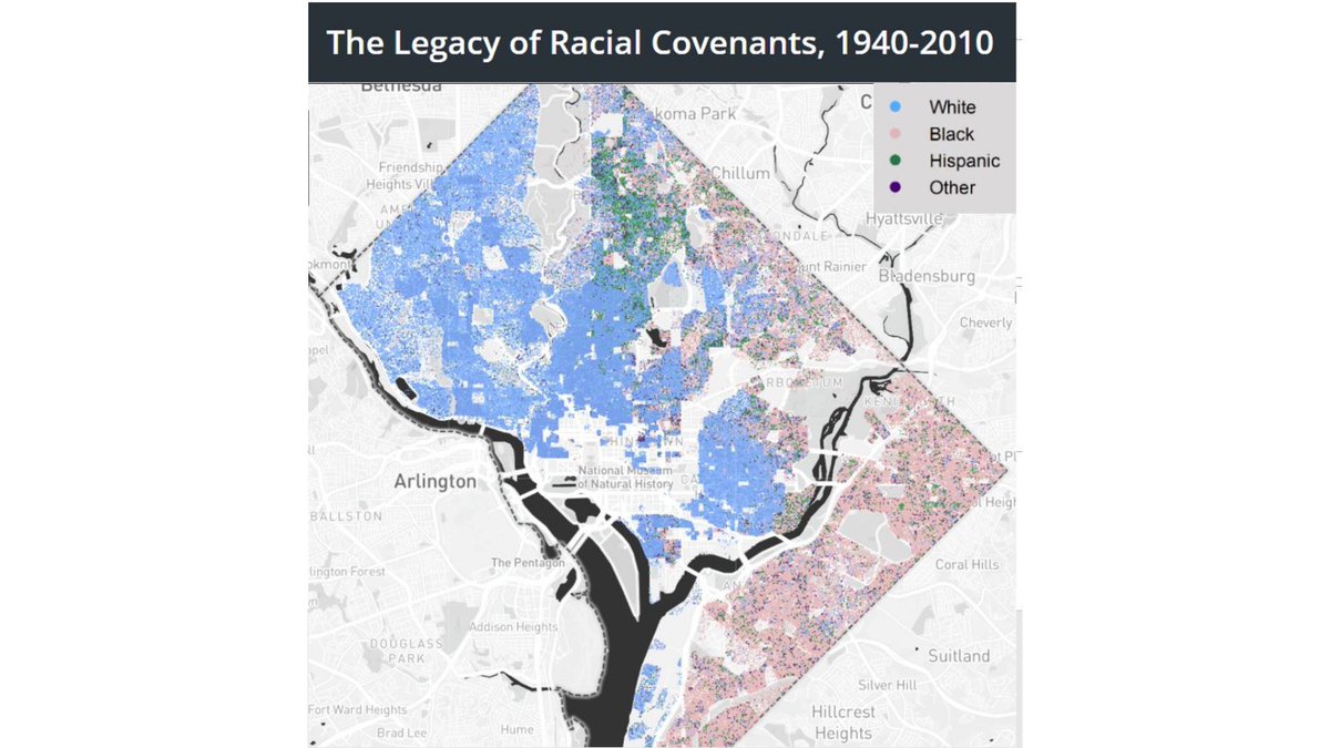
http://mappingSegregationDC.org documents the historic impact of racial deed covenants on the nation’s capital. But covenants weren’t the only tool for shaping the city’s racial landscape. Schools, parks, playgrounds, and public housing were also critical in this process.
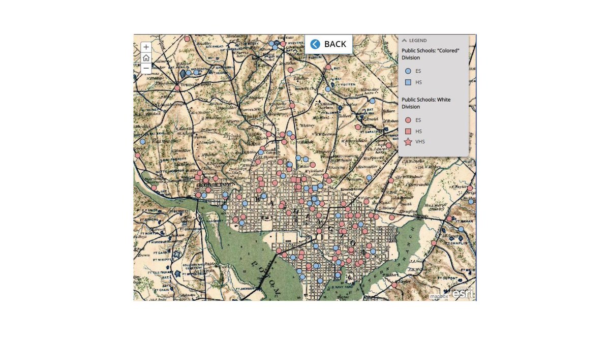
In the early 1900s, schools for Black children dotted the city’s outskirts, close to old Civil War forts. Black migrants to DC had settled in these areas during the war, when Union Army facilities had provided a measure of security. Most of these schools closed by the 1920s.
39 Black households were uprooted in 1912 to build Meridian Hill Park. As the spread of racial covenants reserved much of the city for white settlement, most of these families were pushed closer to downtown. Blocks near the park were later blanketed with racial deed covenants.
This 1937 Federal Housing Administration map grades sections of DC and its suburbs. F, “declining rapidly,” was assigned to much of the city below Florida Avenue, where the vast majority of Black residents lived. #mappingsegregation.
DC real estate brokers used race as a tool to get white homeowners to sell and move to the suburbs. Covenants had associated blackness with declining property values. A Mount Pleasant resident shared this letter with Neighbors, Inc., a group that worked to put an end to this.

 Read on Twitter


