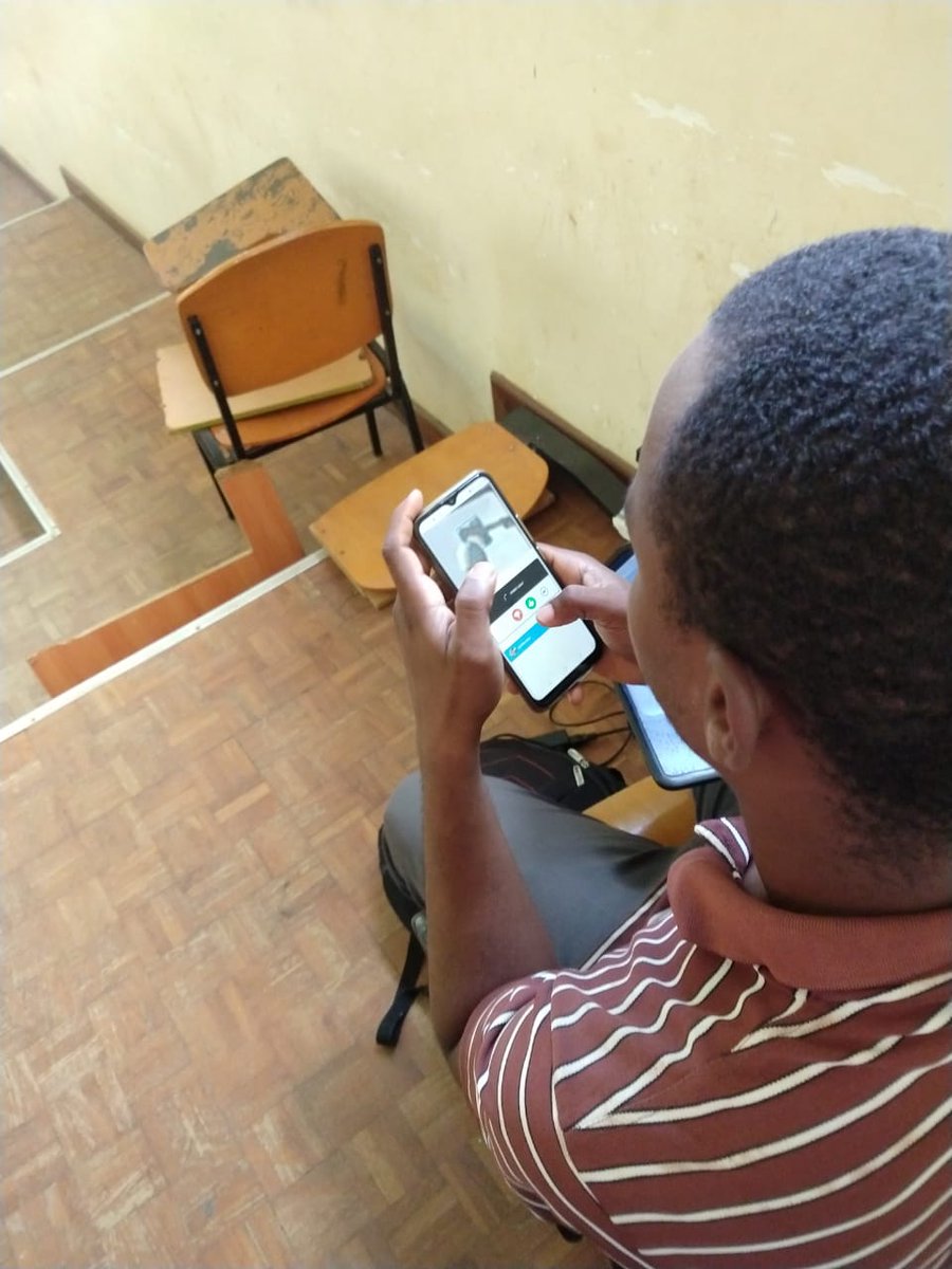
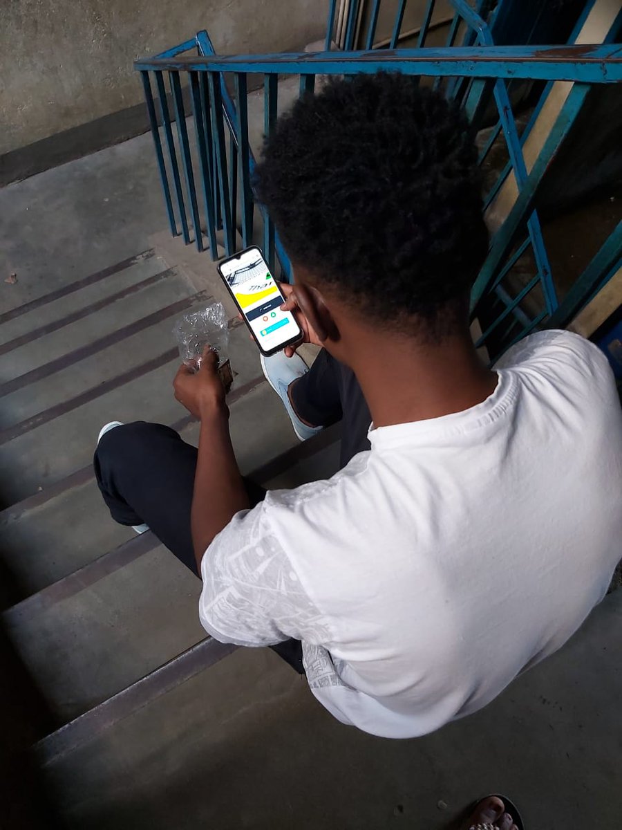
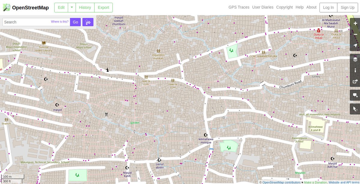
1/ How can you map a community without being in the community? The #COVID19 pandemic meant that on-the-ground data collection was not possible.
[A thread]
[A thread]
2/ We had previously spent almost three years on location working to improve the general map of #Zanzibar and, despite the pandemic, we had to find a way to continue.
3/ The young adults we work with in both #Nairobi & #Zanzibar were also impacted, from limited working opportunities to the closure of institutions of learning.
4/ So, we organized a team of 84 young adults from across Zanzibar & Nairobi to work remotely & safely, gain specialized skills, generate income, and get themselves familiar with digital work and micro-tasking.
5) We used @openstreetmap to conflate new buildings with existing ones and generated new datasets using @mapillary feature detection tools.
6/ The team has added over half a million buildings into @openstreetmap and will also be testing the AI-assisted conflation tool developed by the team from @facebook and @esri.
7/ Using the @mapillary Verification Projects platform, the teams detected and verified thousands of urban infrastructure features and will soon add these features to the map.
8/ We are excited to have found a blueprint on how to engage young and vibrant digital communities to generate useful geodata that we can use long after this project concludes.

 Read on Twitter
![1/ How can you map a community without being in the community? The #COVID19 pandemic meant that on-the-ground data collection was not possible.[A thread] 1/ How can you map a community without being in the community? The #COVID19 pandemic meant that on-the-ground data collection was not possible.[A thread]](https://pbs.twimg.com/media/El-2PYCWkAAy3BK.jpg)
![1/ How can you map a community without being in the community? The #COVID19 pandemic meant that on-the-ground data collection was not possible.[A thread] 1/ How can you map a community without being in the community? The #COVID19 pandemic meant that on-the-ground data collection was not possible.[A thread]](https://pbs.twimg.com/media/El-2toxW0AI_eX4.jpg)


