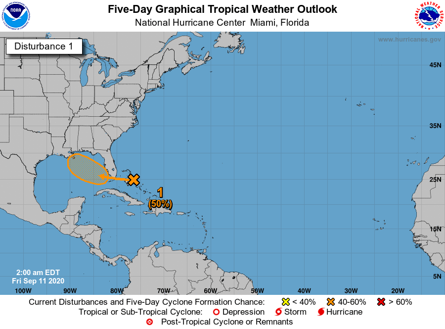
Thinking a little more about #96L, the system currently over the Bahamas.
I think its intensity upon arrival on the Gulf Coast will depend largely on how long it has over water which in turn will depend largely on how much latitude it gains by tomorrow.
EPS firmly in the N camp
I think its intensity upon arrival on the Gulf Coast will depend largely on how long it has over water which in turn will depend largely on how much latitude it gains by tomorrow.
EPS firmly in the N camp
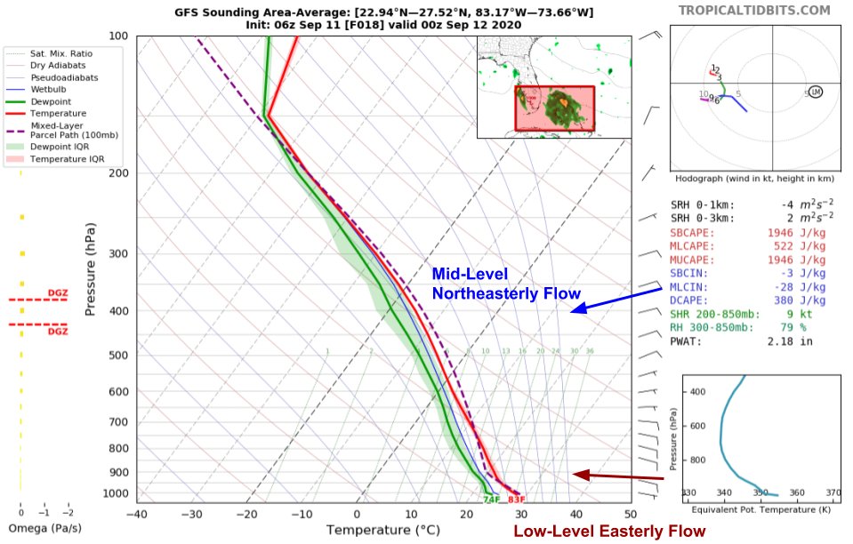
Looking at the system's steering pattern for tonight, I'm not sure I see much pulling the system north.
A shallow not-yet-developed vortex will be steered by low-level flow which in this case is mostly due east (environmentally).
So I think I lean a bit SW of most EPS members.
A shallow not-yet-developed vortex will be steered by low-level flow which in this case is mostly due east (environmentally).
So I think I lean a bit SW of most EPS members.

 Read on Twitter


