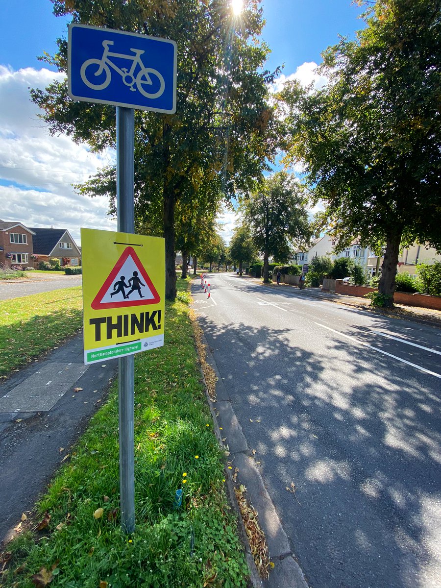
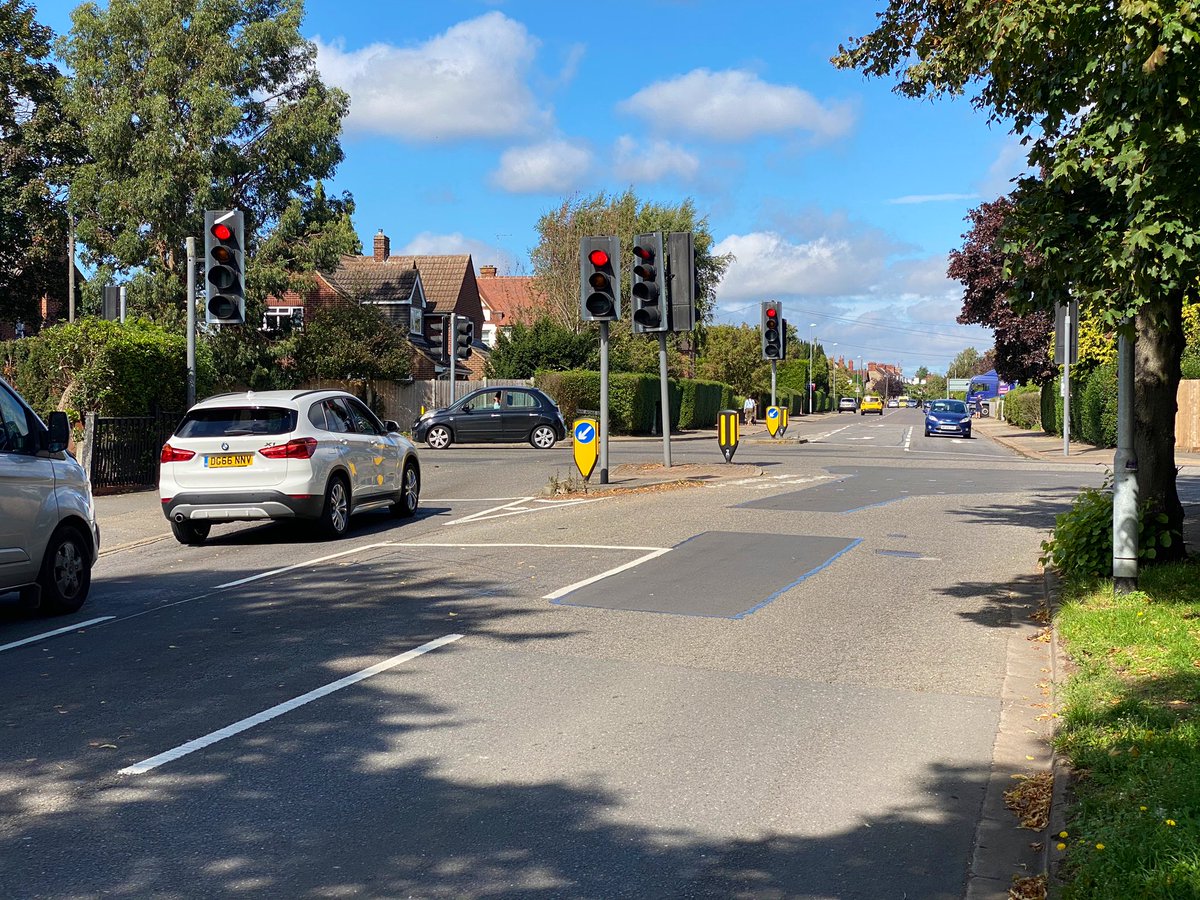
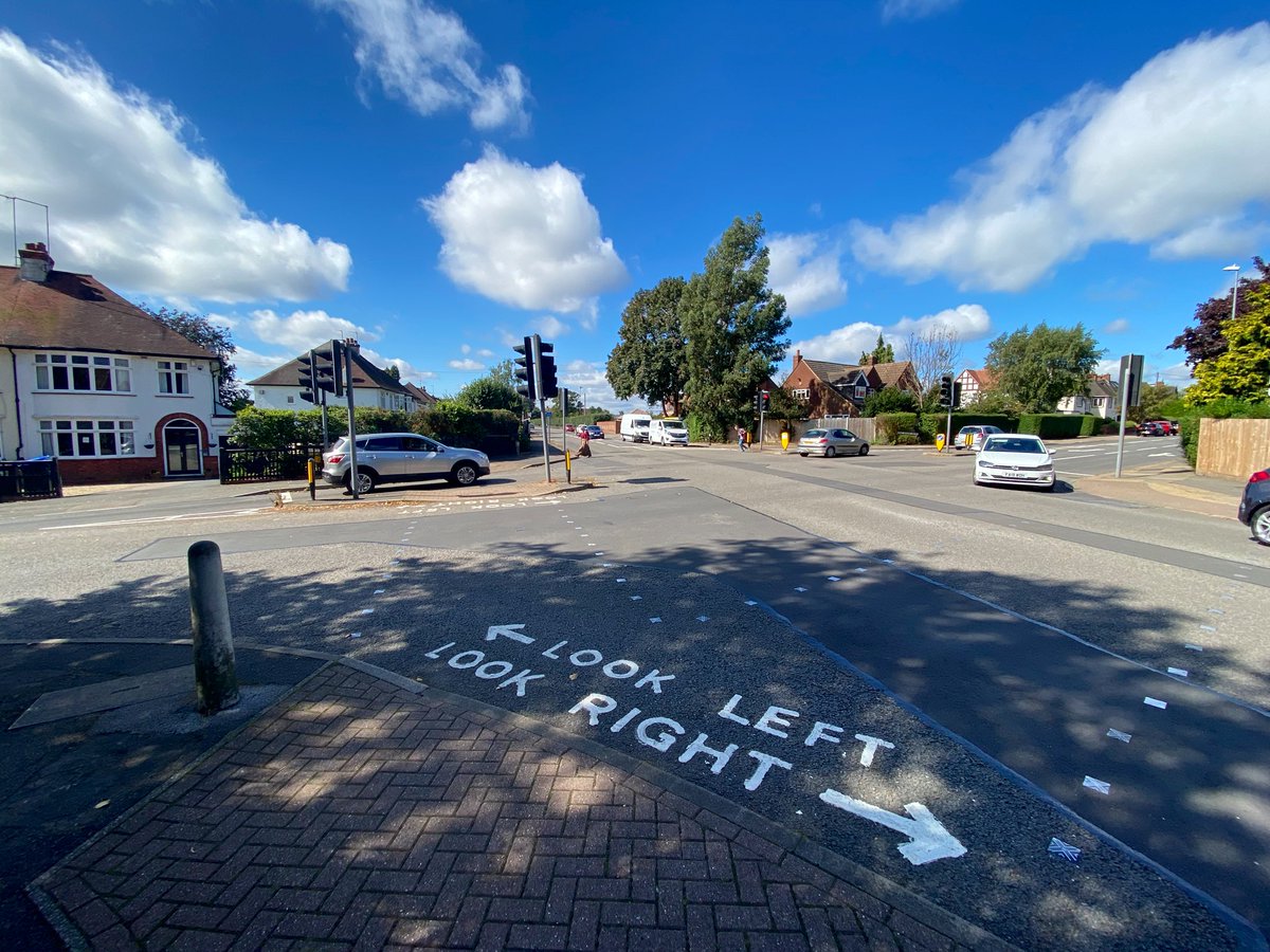
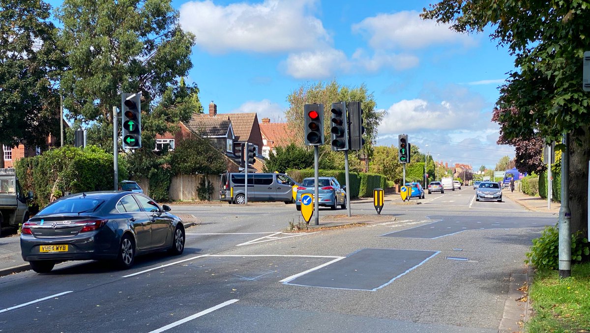
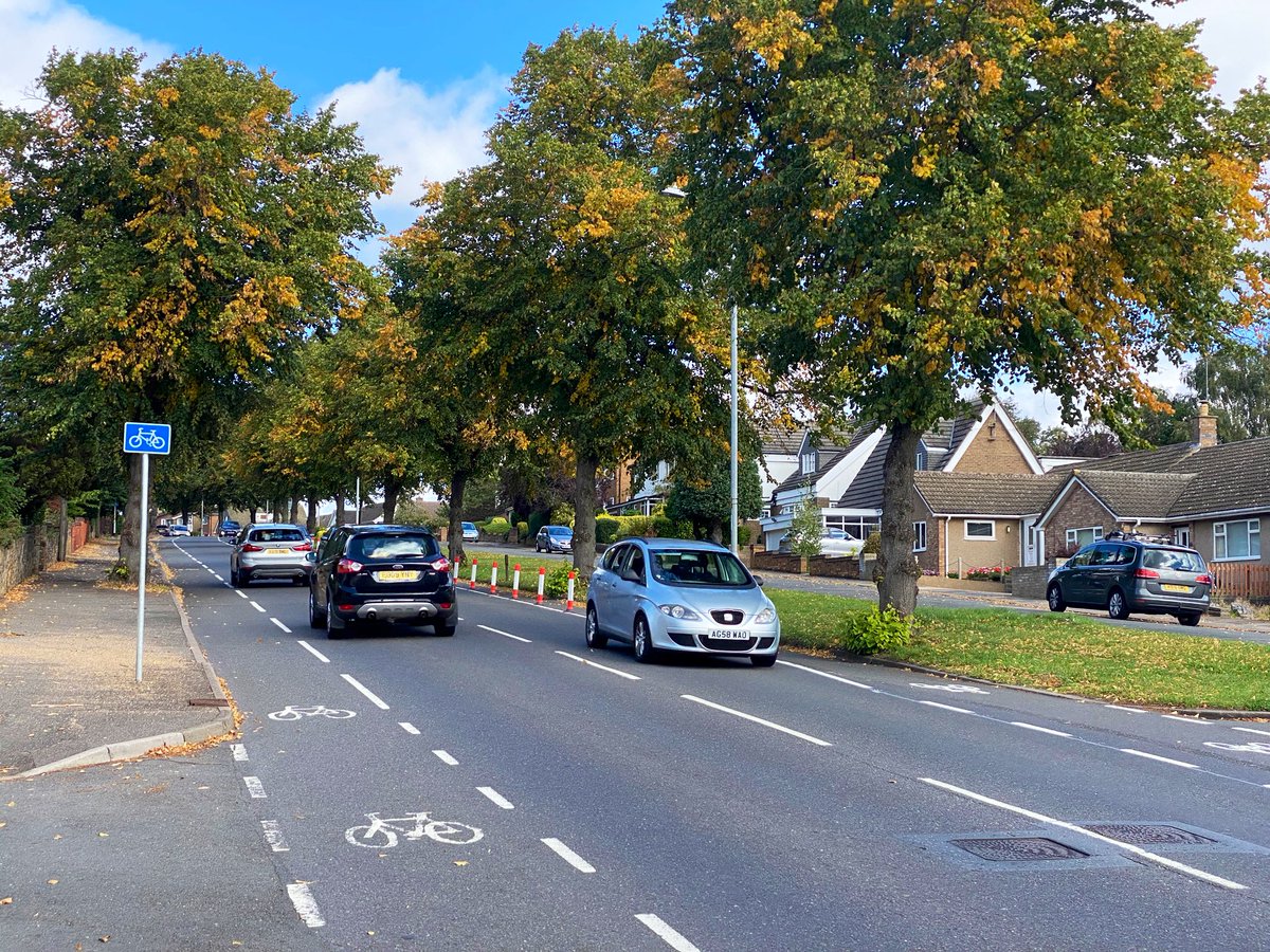
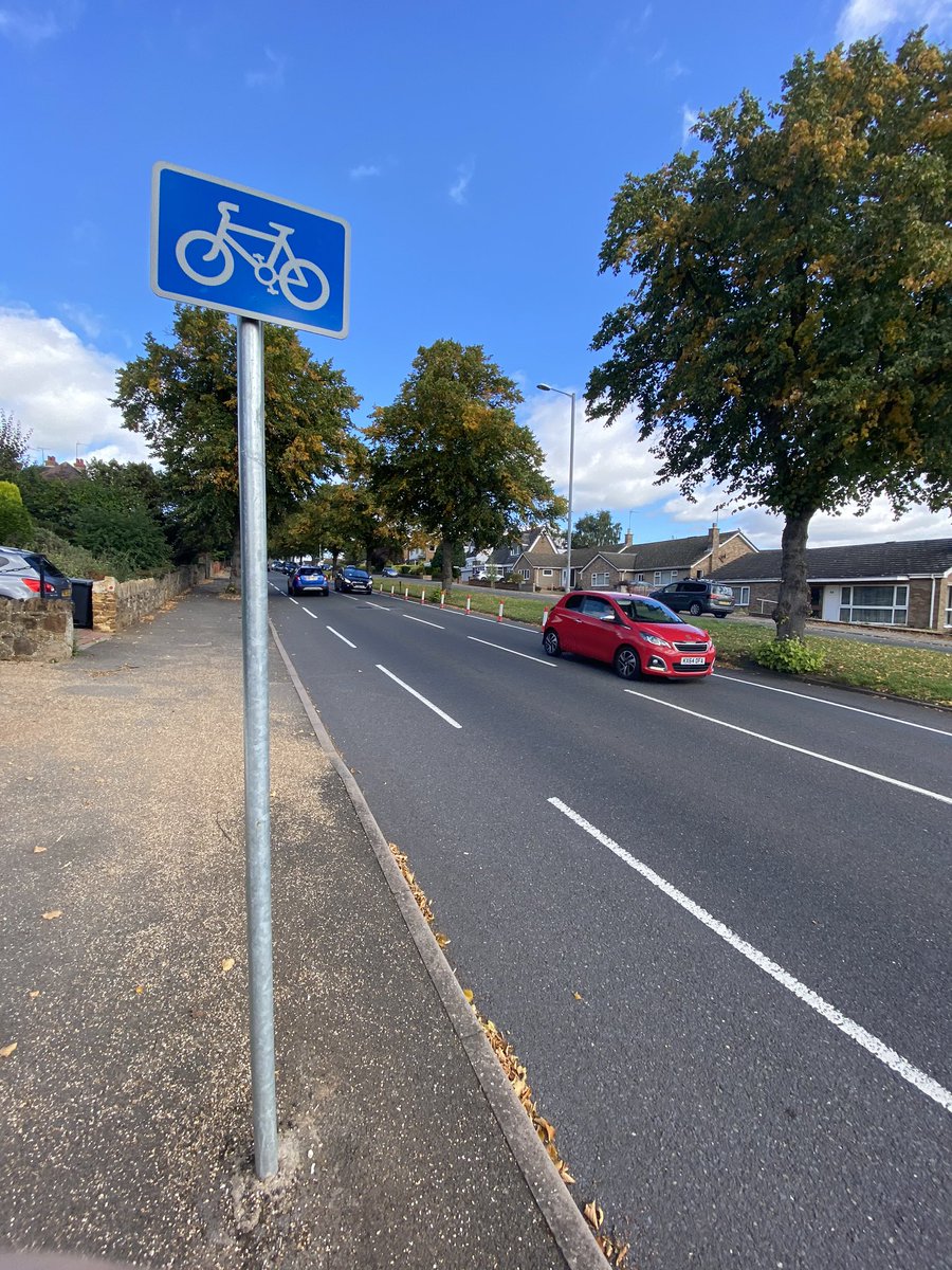
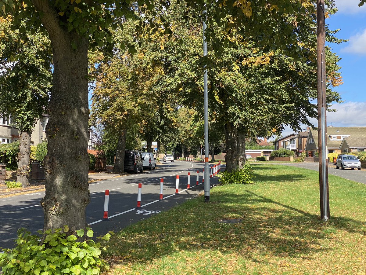
Ok, here goes - time to review the latest bit of EATF Tranche 1 spending from @mycountycouncil - it’s another wand job, on Rushmere Road, Northampton. And it’s controversial. A thread to assess the issues...
Before we delve into the technical detail, we need to talk about the context behind the controversy, because as flawed as this scheme is, it’s flushing out the ‘antis’. An argument against having the lane at all is being pinned on the aesthetics of the wands, which is ridiculous.
I have concerns about the design of this scheme, but they’re at risk of being jumped on by folk interested not in refining it, but rather trying to ensure there’s no provision at all, running with the hare and hounds, whether as cycle haters or believing house prices will dip.
I want it to be express in this thread that whilst I don’t think I this scheme is very good, I am a campaigner in favour of high quality segregated infrastructure. That’s what this road deserves. If it can be made to look nice, so much the better, but the NIMBYs can get lost!
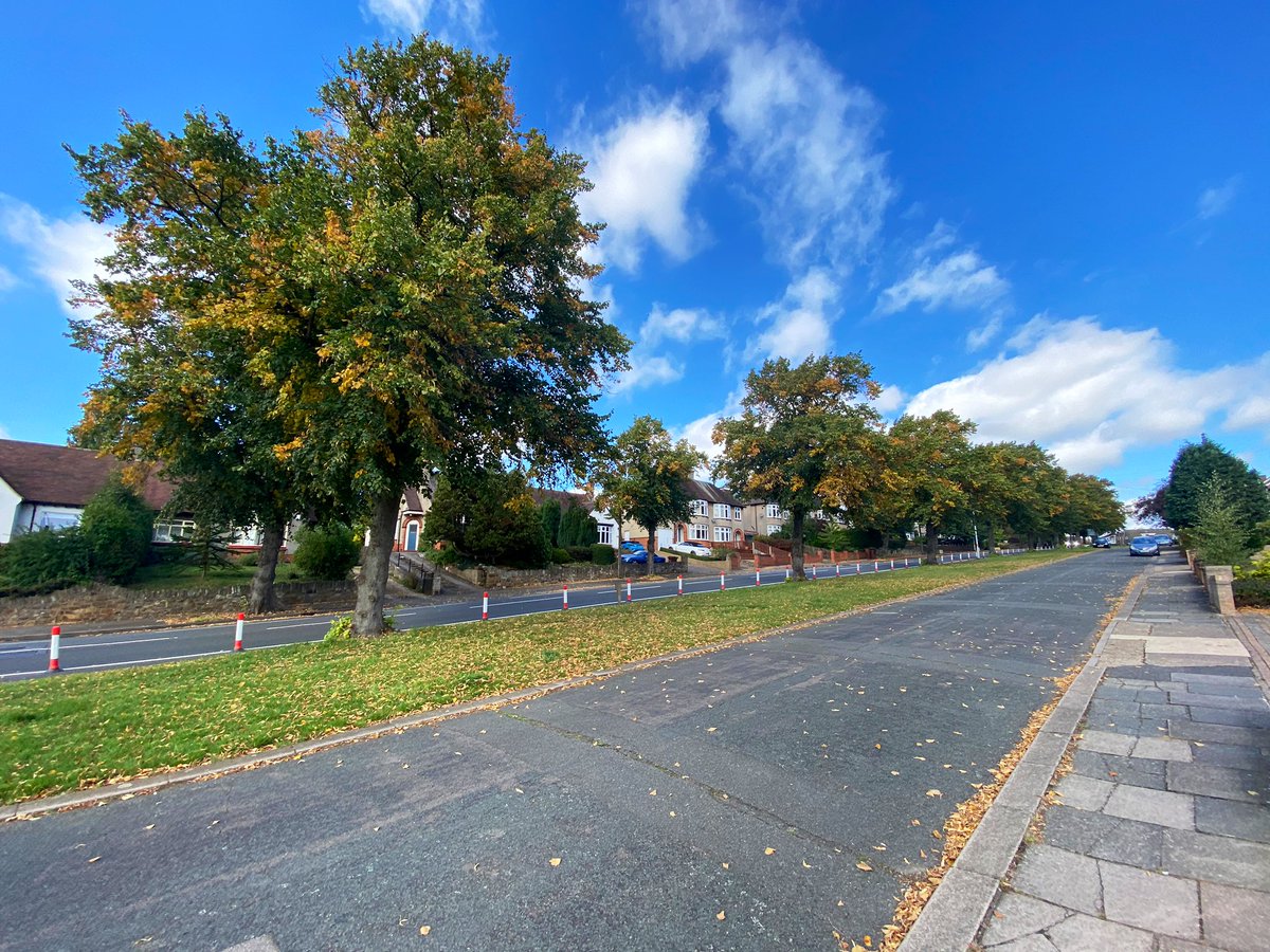
Rushmere Road is on the periphery of Northampton. At the northern end, it runs from a signal-controlled junction with Billing Road, an arterial route which is the subject of a rather bizarre Tranche 2 scheme. From there, it runs down a long, largely straight gradient of circa 5%.
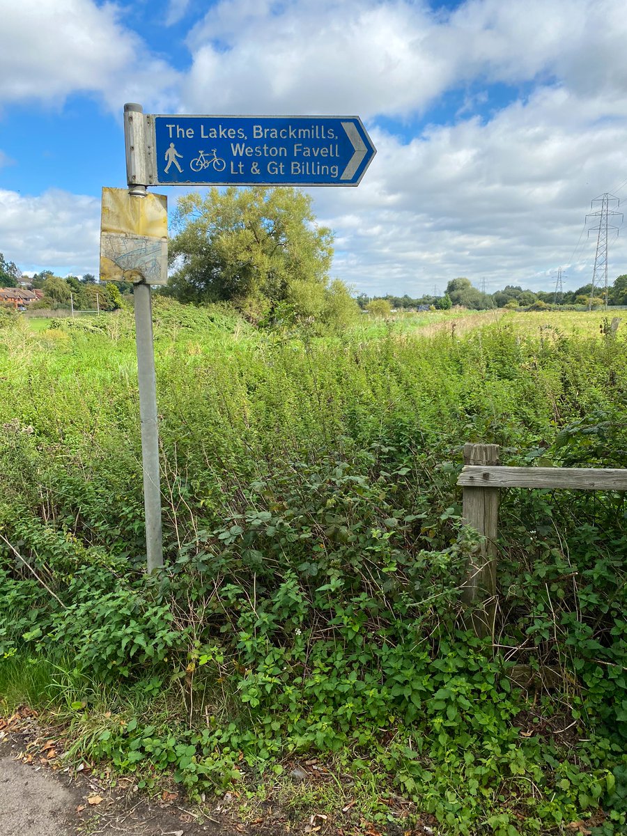
At the bottom of the hill, there’s a toucan crossing, where short traffic free spurs link to the Nene Way and to the A428 Bedford Road. The road itself rises from a 30 to 40 limit and ends up at the notorious Brackmills interchange between the A428 and the A45 dual carriageway.
Both sides of the road had advisory cycle lanes, which Google Maps proves were parked in on both sides. If you were going to make a single intervention on the stretch in question, to benefit those on bikes, it would have naturally been to help those working their way up the hill.
What contributors to Commonplace actually asked for was improvements to the junction with Billing Road, which is used by school children and is unpleasant.
But this is Northants, where what we get is not what we asked for, but what’s the cheapest (in every sense) to throw in.
But this is Northants, where what we get is not what we asked for, but what’s the cheapest (in every sense) to throw in.
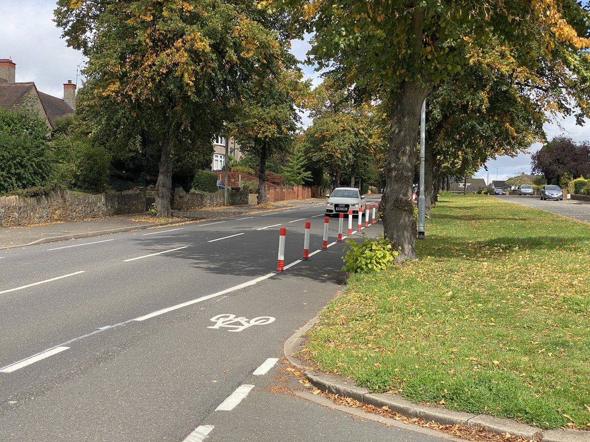
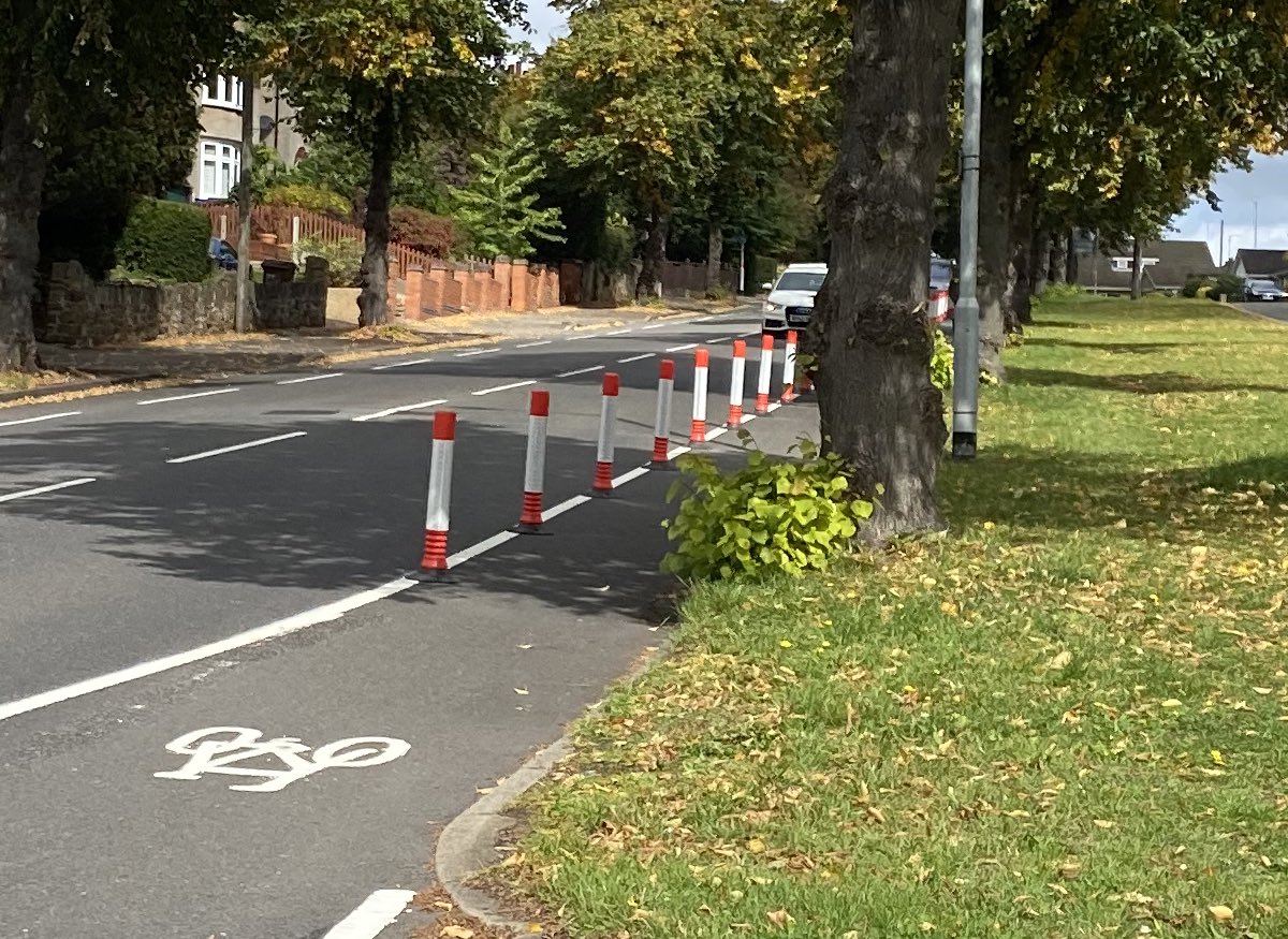
The scheme, then, is a carbon copy of the dodgy one on St Mary’s Road in Kettering. They sought out a road with a service road alongside it, and a 1500mm advisory bike lane to throw some wands at. There’s only a service road on one side - downhill - so that’s where it’s gone in.
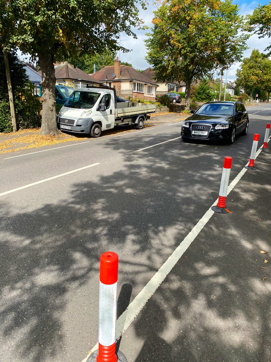
Turning in off Billing Road, in my car, I’m immediately taken aback by where the wands appear, without warning. It’s little wonder the first few have been knocked out & had to be replaced, already. Meanwhile, the lane itself is narrow and filling with leaves, masking a high kerb.
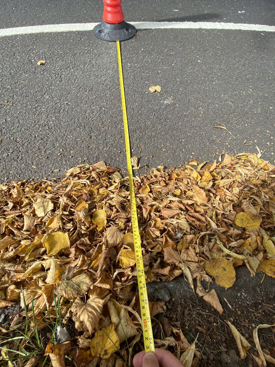
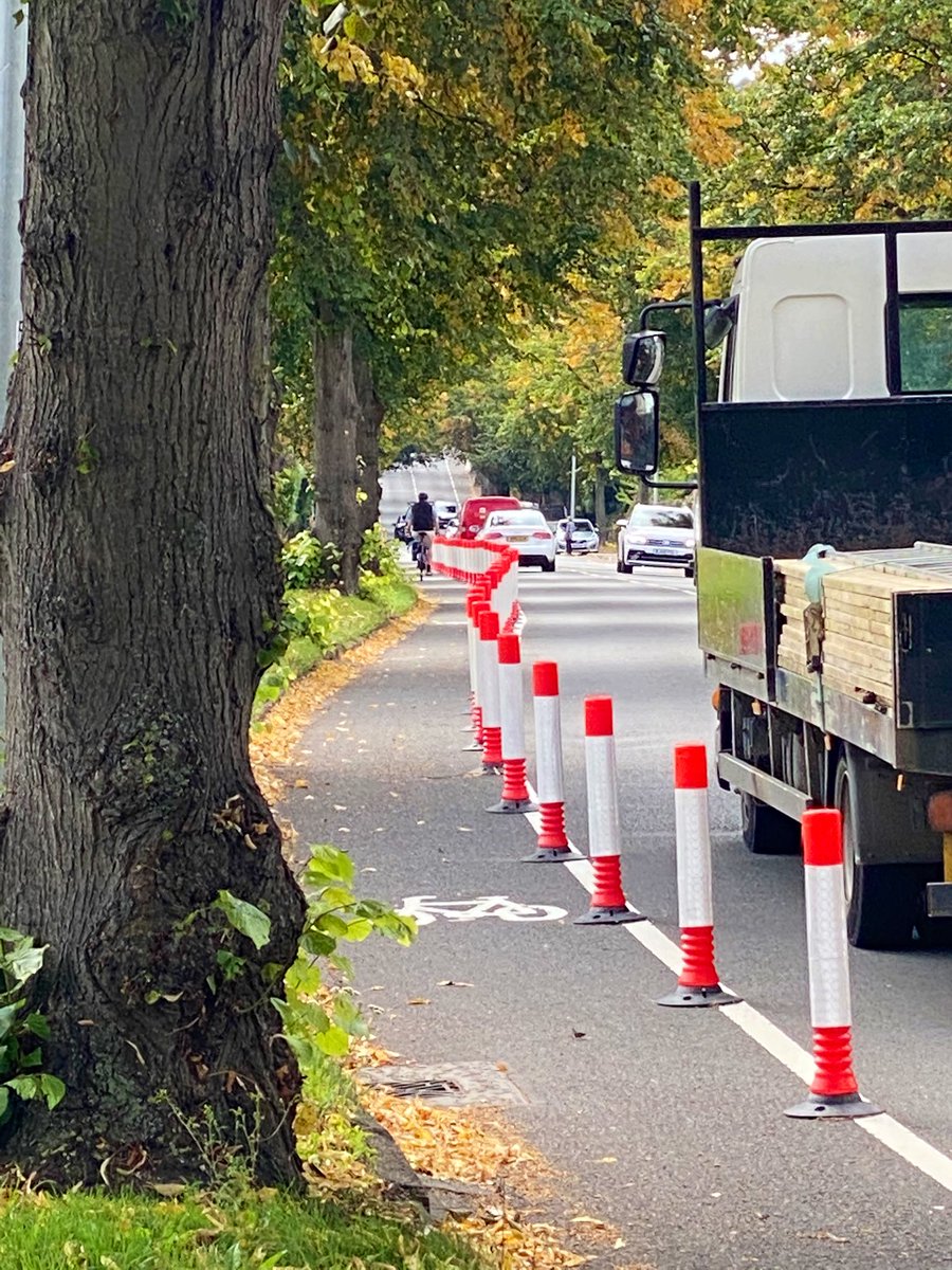
Did you see how even a cyclist missed the entry to the lane, not being clear about what it was, and joined it further down? Not dealing with the junction has caused that - and drivers are changing line to avoid the first wand. Let’s measure that lane, then...
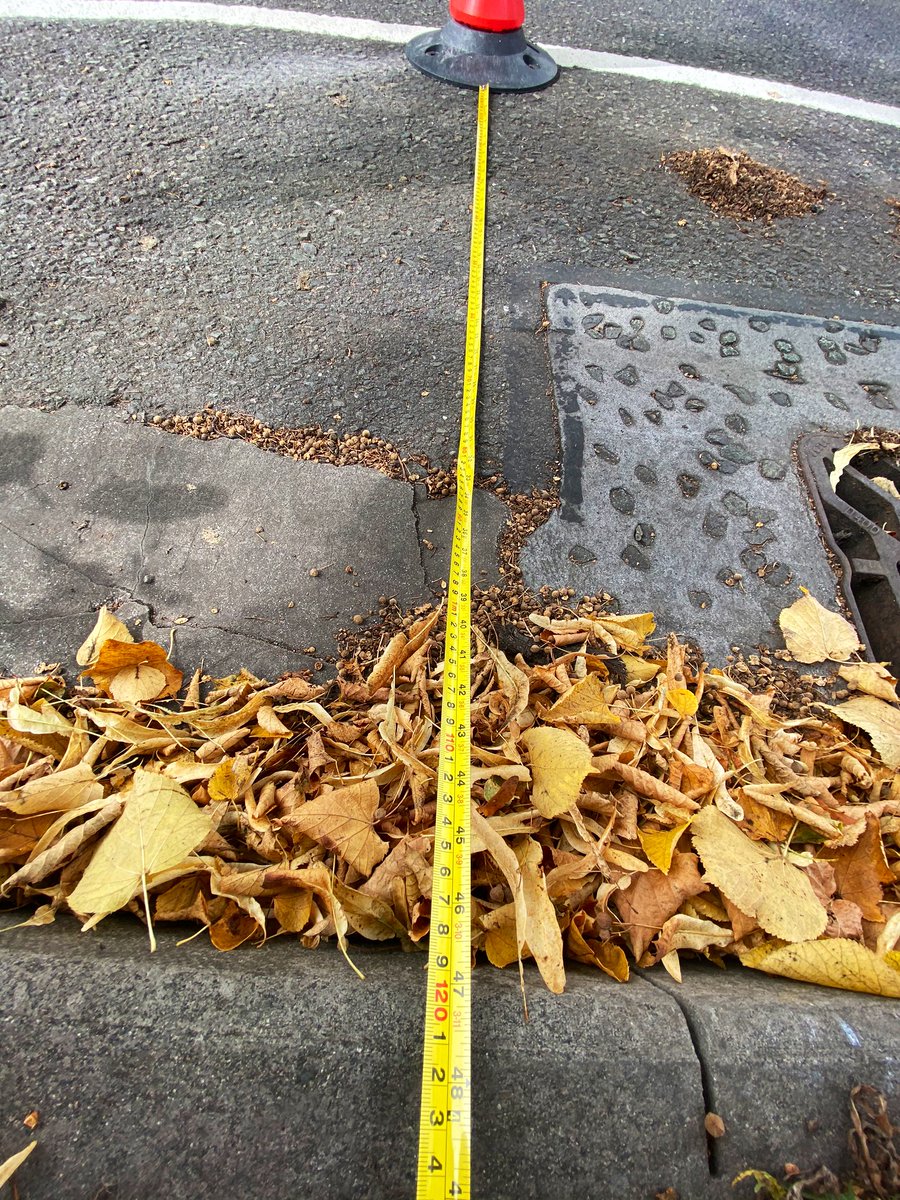
I cleared away the leaves to measure 1240mm width, and a kerb of about 120mm height. LTN 01/20 minimum spec is nowhere near met. A nominally 1500mm lane where paint and wands are then all considered part of the width given to cyclists, is miserly and wholly insufficient.
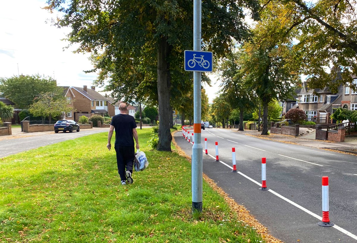
There’s no excuse whatsoever for this. The public realm is enormous here - but it’s chaotic. Footways don’t line up either side of a side road, so pedestrians use the grass, despite all that asphalt!
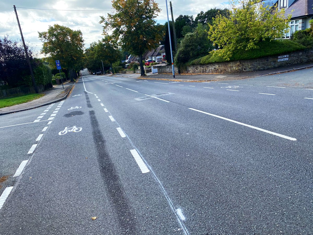
The dotted advisory lane has been made to a solid ‘mandatory’ lane and just like in Kettering, the lane briefly widens in this peculiar fashion at sides roads. The other side of the road has not received any such treatment. Why is this, @NNHighways? If we don’t know, who will?
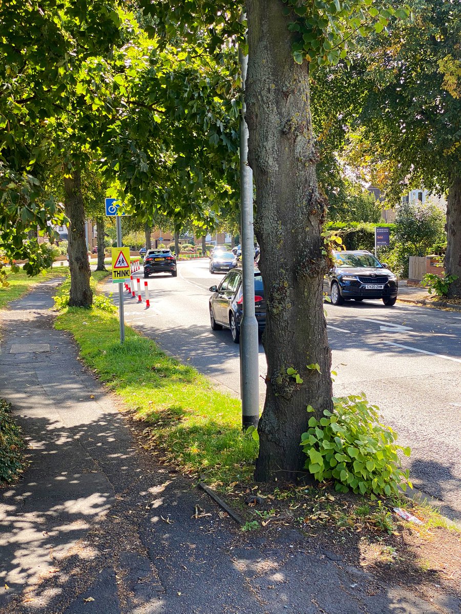
Now, we’ve got to talk about the trees, which are problematic twice over. They sterilise the overall space, and act as a barrier to visibility. This is the view a motorist turning right out of Watersmeet onto Rushmere Road, gets. ‘The cyclist appeared from nowhere’, they’ll say.
During the time I was there, a member of @NorthantsSFA rode down the hill. He clocked 26mph on an old post office bike. I used the service road to estimate the pace of another utility cyclist aged about 60, at about 23mph. Cyclists are barely slower than cars are supposed to be.
Where you’d want the segregation the most is not down the hill, where you can sit in primary position, hold the lane and scarcely delay law-abiding motor traffic, but when you’re going up. You’re on your own going that way.  Because there’s no service road, presumably.
 Because there’s no service road, presumably.
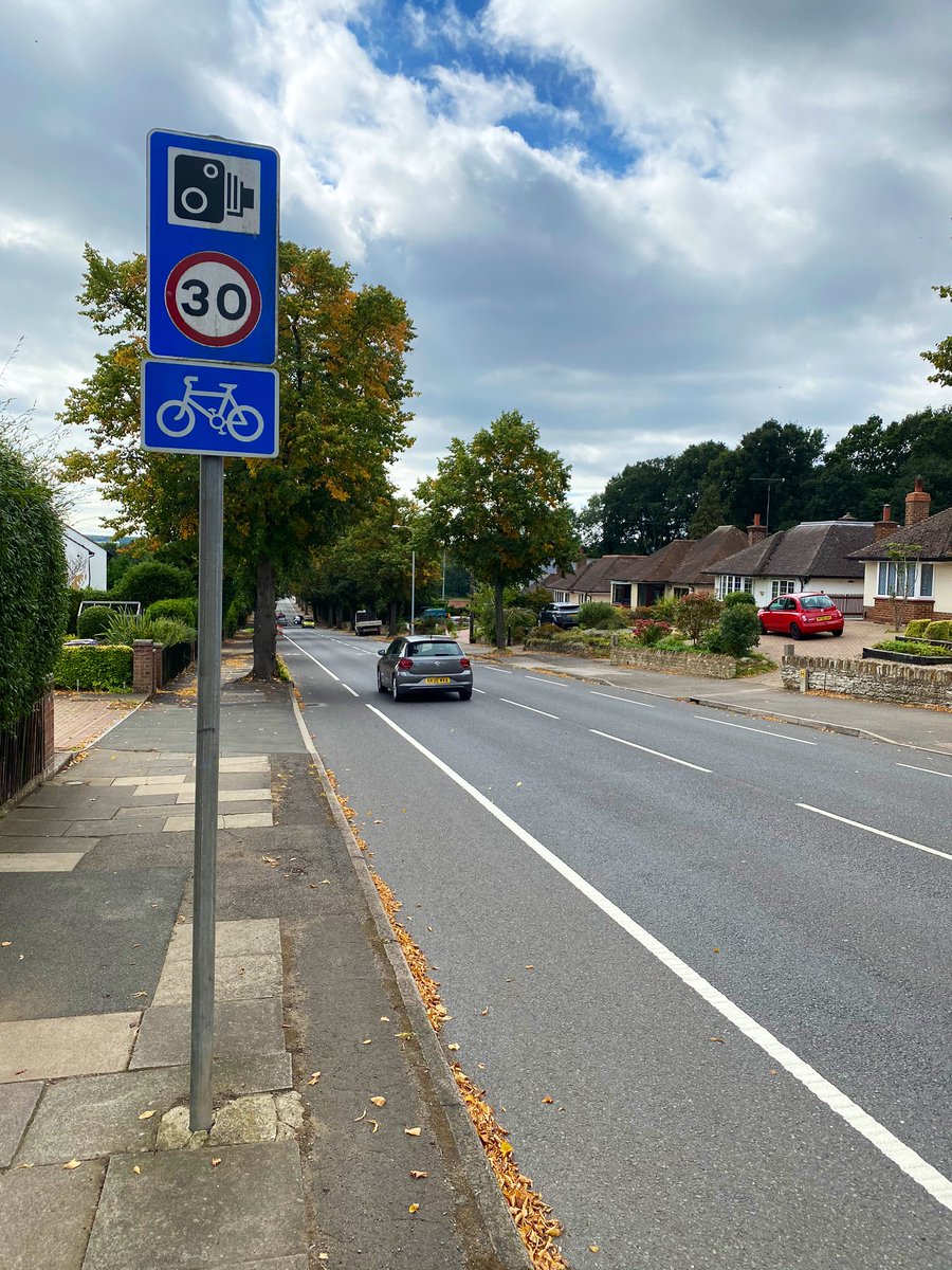
We’re south of Watersmeet now. No service road here but only a few dropped kerbs as the road continues to swoop down towards the Rugby Club and the Nene floodplain. Speed camera with Truvelo markings in both directions tells a story - but this is Northants, so it’s switched off.
The reason for the gap in the solid line is unclear, as it’s not been done for all dropped kerbs. Someone parked a car in it, according to the ward councillor, as a protest. I’m not prepared to believe that’s a protest against the cycle lane *not being wide enough*...  https://twitter.com/cllrjulie/status/1301884395691933700
 https://twitter.com/cllrjulie/status/1301884395691933700
Wands continue to where the lane arbitrarily needs, near the toucan crossing. Nothing in place to manage the merging of cyclists and motor traffic. The road beyond this point becomes 40mph and very hostile. Good luck with that.
This road, this direction, was not a priority, out of all the places in a county where folk have been pleading on Commonplace for interventions. It’s too narrow. The wands are cheap tat. But complainants against the scheme aren’t proposing *improvements*. They just want it gone.
And here’s the problem. There’s an unholy alliance forming between people putting crappy infrastructure in, and people who don’t want any infrastructure at all. We will continue to campaign, unapologetically, for properly segregated LTN 01/20 spec infrastructure everyone can use. https://twitter.com/montgomerysteve/status/1303483745480200193

 Read on Twitter


