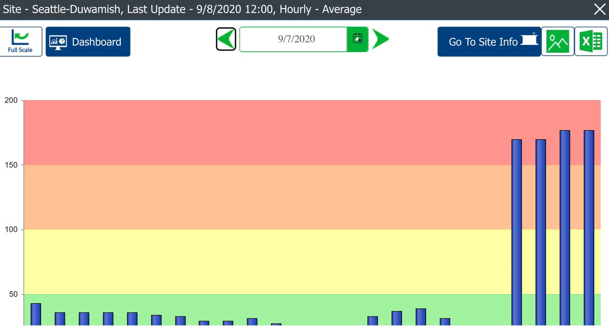
This is my first #wasmoke season in a while without a Curbed Seattle resource to update! But I typically just spent maybe 20-30 minutes each morning/afternoon updating from various sources—so I'm just gonna list them here.
The Washington Smoke Blog—a collaboration between various government agencies and tribes—is a great place to start, and has a lot of detailed but easy-to-digest info on what's happening and what to expect, plus an embedded map from @usfs_pnwrs. https://wasmoke.blogspot.com/
Then, head to the Washington State Department of Ecology ( @EcologyWA) air quality map, which IME updates a little more frequently. (Also check their Twitter!) https://enviwa.ecology.wa.gov/home/map
Then hit the DOE's "forecast" tab to see the outlook for the next day. https://enviwa.ecology.wa.gov/home/text/421#Forecast
This data populates the federal air quality index, too, which includes its own forecast from @pscleanair. https://www.airnow.gov/?city=Seattle&state=WA&country=USA
The weather interacts closely with the smoke forecast, so @NWSSeattle is always a good check, too. https://twitter.com/NWSSeattle/status/1303437504553594882
The Clean Air Agency also has a rundown of county air quality burn bans, although you should check your county website for the most up-to-date info (and to see if there's another kind of burn ban). https://pscleanair.gov/168/Current-Status

 Read on Twitter


