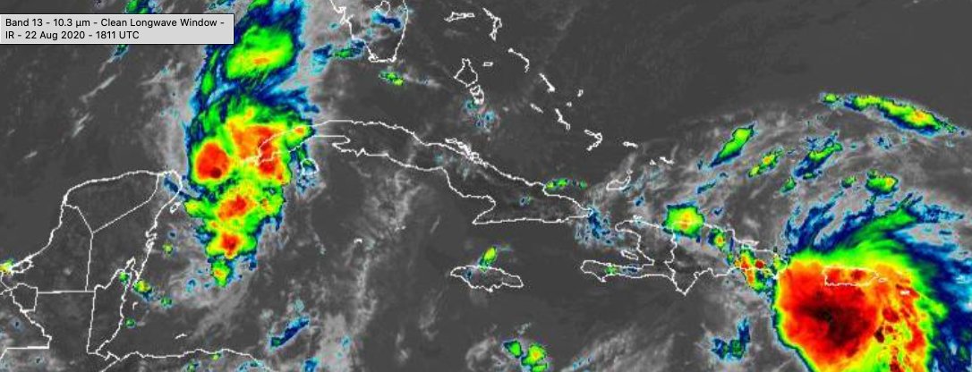
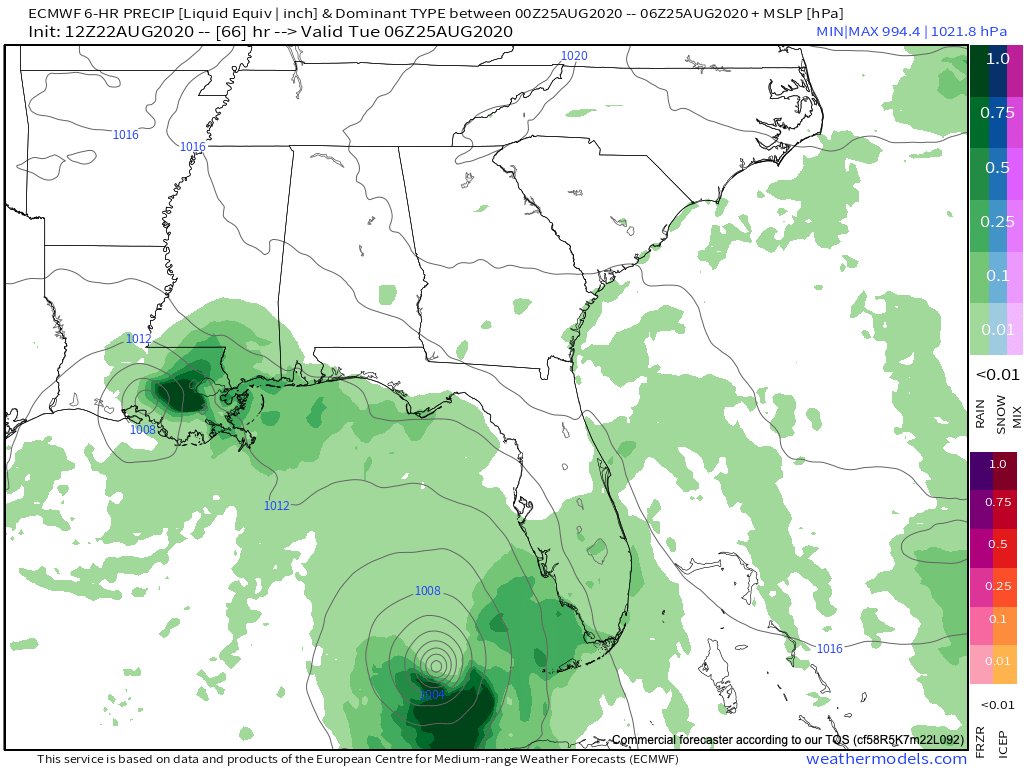
For friends and family on the Gulf Coast, here are my latest thoughts on Laura and Marco.
Both of these tropical storms are intensifying and one is likely to become a hurricane today, which would be Marco which is found to the southeast of Cuba.
Here is what we know and here is what is completely BS.
Here is what we know and here is what is completely BS.
1. Both storms are moving under the influence of the western Atlantic Ridge. Both storms will move into the Gulf of Mexico as a result of this ridge.
2. Laura, to the SE of PR, is going over Hispaniola & Cuba before reaching the Gulf of Mexico. If the low-level center moves over these two islands, there is a good chance Laura will be a tattered mess before reaching the Gulf of Mexico.
This aspect of the forecast is highly volatile and confidence is low.
3. Marco is in the best environment for intensification right now but will be running into a lot of vertical wind shear and some dry air. So Marco is likely to peak in intensification before reaching the central Gulf Coast.
4. Both Marco and Laura are likely to take a similar track because both are under the same steering mechanisms. So, let's assume that Laura survives it's a visit to Hispaniola and Cuba and breaks down what to expect.
5. There will be no Super Hurricane or any type of nonsense like that. This is a perfect example of fake news. You have two separate tropical systems and tropical lows do not combine like transformers to become super storms. They don't play well together.
6. Both storms are like to bring impressive rainfall to the central Gulf Coast starting on Monday and again on Wednesday.
The exact tracks are unknown, but we do know that all interests from the northeast coast of Texas to the coast Panhandle of Florida should be prepared for flash flooding, coastal flooding, and wind damage.
7. Given what I am seeing, we likely won't have two hurricanes in the Gulf of Mexico at the same time, but likely will have the potential of two hurricanes moving through the Gulf of Mexico in a 48 to 66 hour period, which has happened before.

 Read on Twitter


