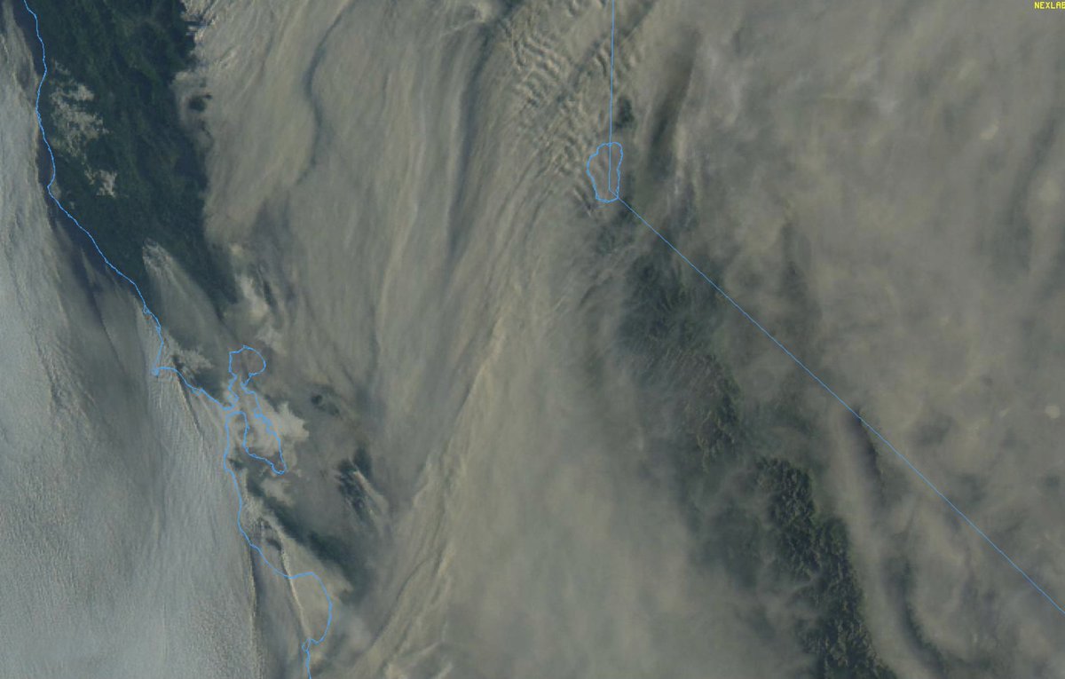
Okay, time for a NorCal fire weather update. First, good news: fire activity decreased overnight due to development of shallow marine layer along immediate coast, and cooler temps inland. Next 24 hours, fire activity will be strongly diurnal (i.e.,like normal). #CAwx #CAfire (1/n)
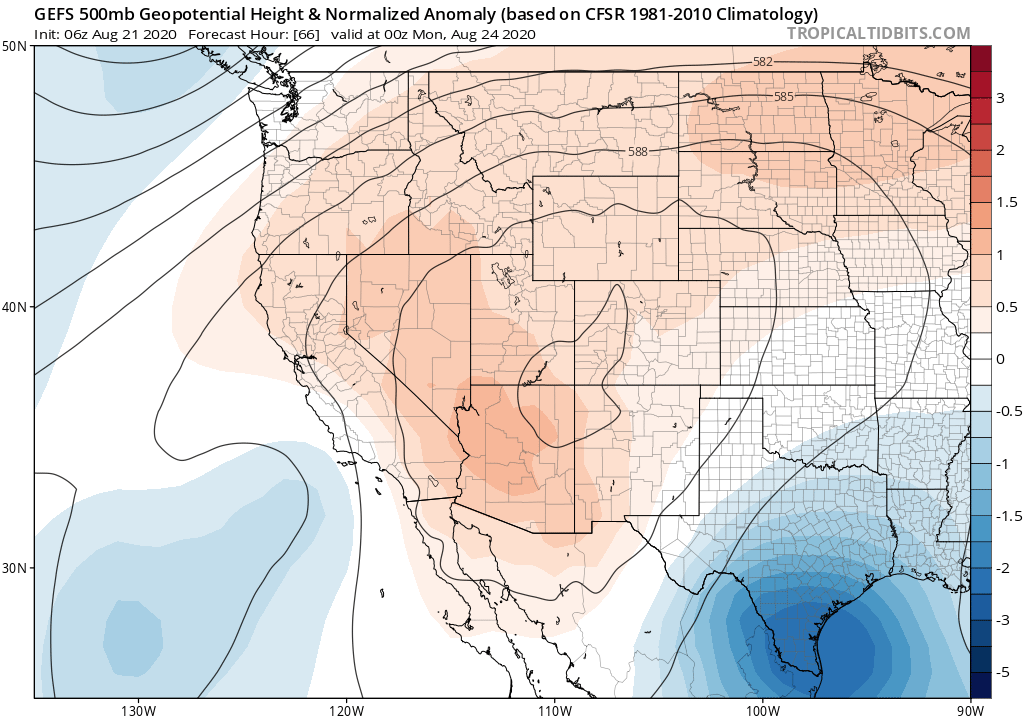
The bad news: this is as good as things are going to get for a while. This wknd, ridge builds back in once again from east, suppressing marine layer and bringing hot/dry conditions inland (though will *not* be as hot as last record heatwave over past week). #CAwx #CAfire (2/n)
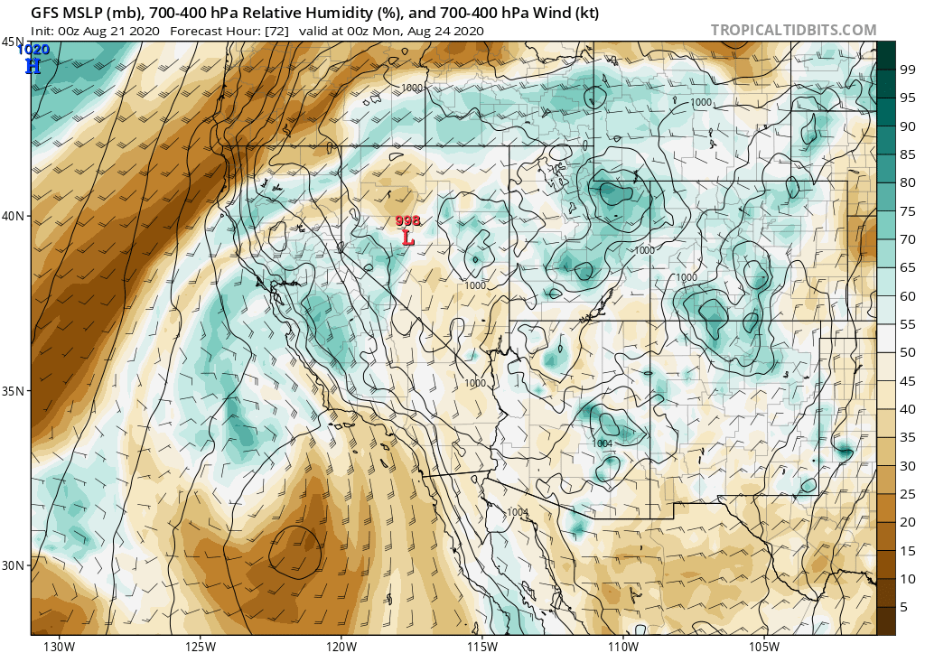
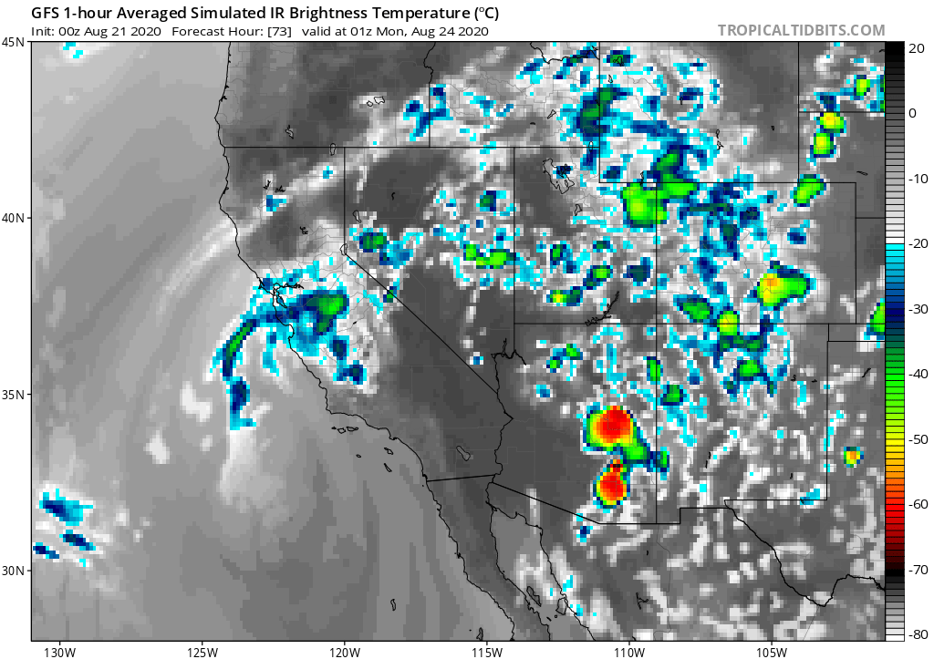
Then, slightly disconcerting news. Remnant moisture & instability from former Hurricane #Genevieve will approach CA from south on Sunday. Uncertainty remains, but right now it appears there is a real risk of *another* dry lightning event in NorCal Sun/Mon. #CAwx #CAfire (3/n)
Right now, I'd put the odds of dry lightning somewhere in NorCal Sun-Mon somewhere around 50/50. So there's a 50% chance this fizzles altogether. (Fingers crossed). But these storms, if they occur, would produce little/no rain as well as lightning & gusty winds. #CAwx #CAfire(4/n)
Given unprecedented number & extent of wildfires across NorCal & the firefighting resource drawdown already, this would be a very problematic weather outcome. But this kind of forecast is challenging, so follow @NWSBayArea & @NWSSacramento for details and updates. #CAwx #CAfire

 Read on Twitter


