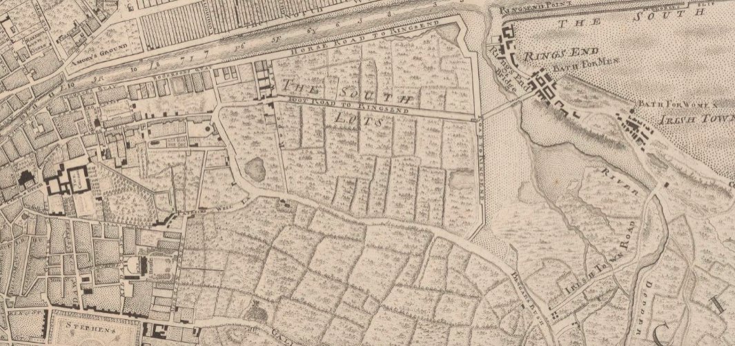
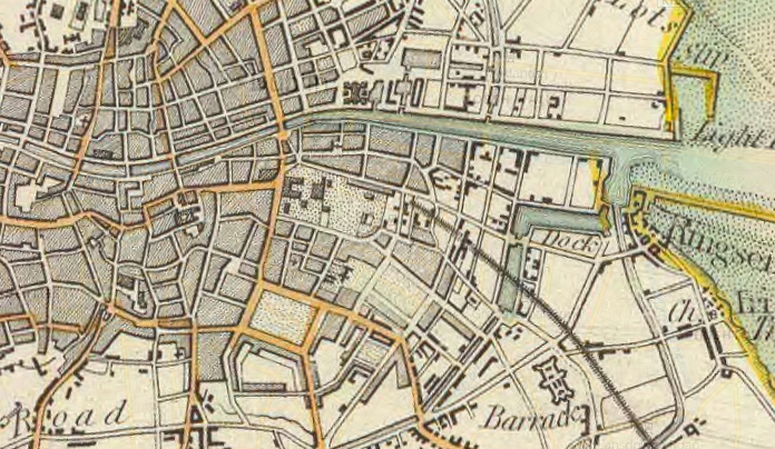
The South Strand, as shown in Moll's Map of Dublin, 1714. All north and east of Townsend Street is salt water or a long gleaming strand, depending on the ebb and flow of the tide. The future Merrion Square lies just above the high-water mark.
Roque's map, 35 years later. No more strand! Instead we see the results of a massive land reclamation project achieved by embankment of the Liffey and building of the South Bull wall.
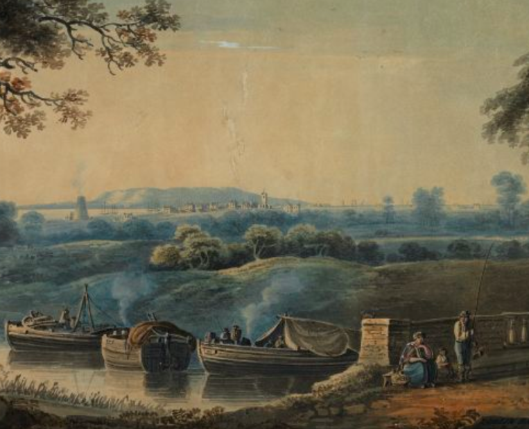
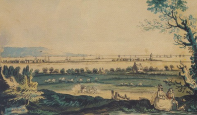
A nice view of the reclaimed strand in its early days, 1809. http://onlinecollection.nationalgallery.ie/objects/8093/ringsend-and-irishtown-from-the-grand-canal-dublin?ctx=41b77783-311d-43ef-896c-c8f3238ed8ce&idx=5
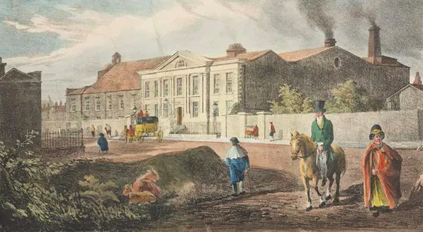
St Mark's Church, on the left and the Dublin Oil and Gas Co on the right. Both still standing on the portion of the former South Strand now comprising Pearse Street!
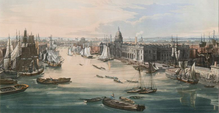
A view of the embanked Liffey from the other side, 1817
http://onlinecollection.nationalgallery.ie/objects/2221/dublin-taken-near-the-custom-house?ctx=6c7b4d6a-dbca-4158-ba3f-4bed864addc9&idx=3
http://onlinecollection.nationalgallery.ie/objects/2221/dublin-taken-near-the-custom-house?ctx=6c7b4d6a-dbca-4158-ba3f-4bed864addc9&idx=3
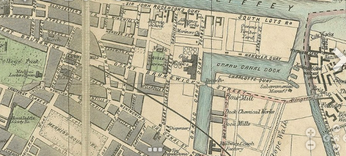
By this time the Grand Canal, which originally stopped at Portobello, had been extended through Baggot Rath and the reclaimed land to meet the Liffey at the end of Sir John Rogerson's Quay...
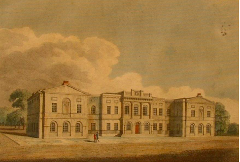
The extended Grand Canal passed alongside the new St Patrick Dun's hospital in Townsend Street, a site once literally the 'end of town' as only the South Strand lay beyond.
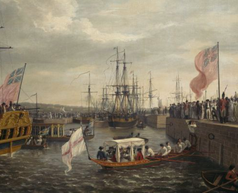
The opening of the Grand Canal Docks, 1796.
http://onlinecollection.nationalgallery.ie/objects/8789/opening-of-the-ringsend-docks-dublin-23-april-1796-with-l?ctx=37e87aab-58f3-4105-b999-d5be368a62e0&idx=14
http://onlinecollection.nationalgallery.ie/objects/8789/opening-of-the-ringsend-docks-dublin-23-april-1796-with-l?ctx=37e87aab-58f3-4105-b999-d5be368a62e0&idx=14
Not everything went according to plan! In 1792 the South Wall was breached, flooding the reclaimed land, and allowing the Duke of Leinster to sail through the breach all the way up to his home in Merrion Square...
And then there were the press-gangs who roamed the still largely desolate area looking for young men to serve before the mast...
But by the mid-19th century all this was over and the former South Strand just one of many areas of Dublin in which, if you dig deep enough, you may find sand!
https://digital.ucd.ie/view/ivrla:4198
https://digital.ucd.ie/view/ivrla:4198
@threadreaderapp unroll

 Read on Twitter
