Microsoft Flight Simulator 2020 just came out, and I've been playing around with it to see the Azure/Blackshark.ai version of the world. Could it be accurate enough to be used as a tool for geolocation/visualization?
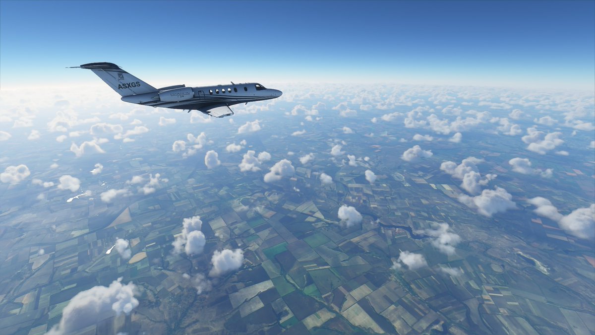
What I've seen so far is pretty impressive #MFS2020
What I've seen so far is pretty impressive #MFS2020
If you want to know how http://Blackshark.ai tech helps to populate the MSF2020 world with objects (including your house), check out their intro video on their website:
https://blackshark.ai/
https://blackshark.ai/
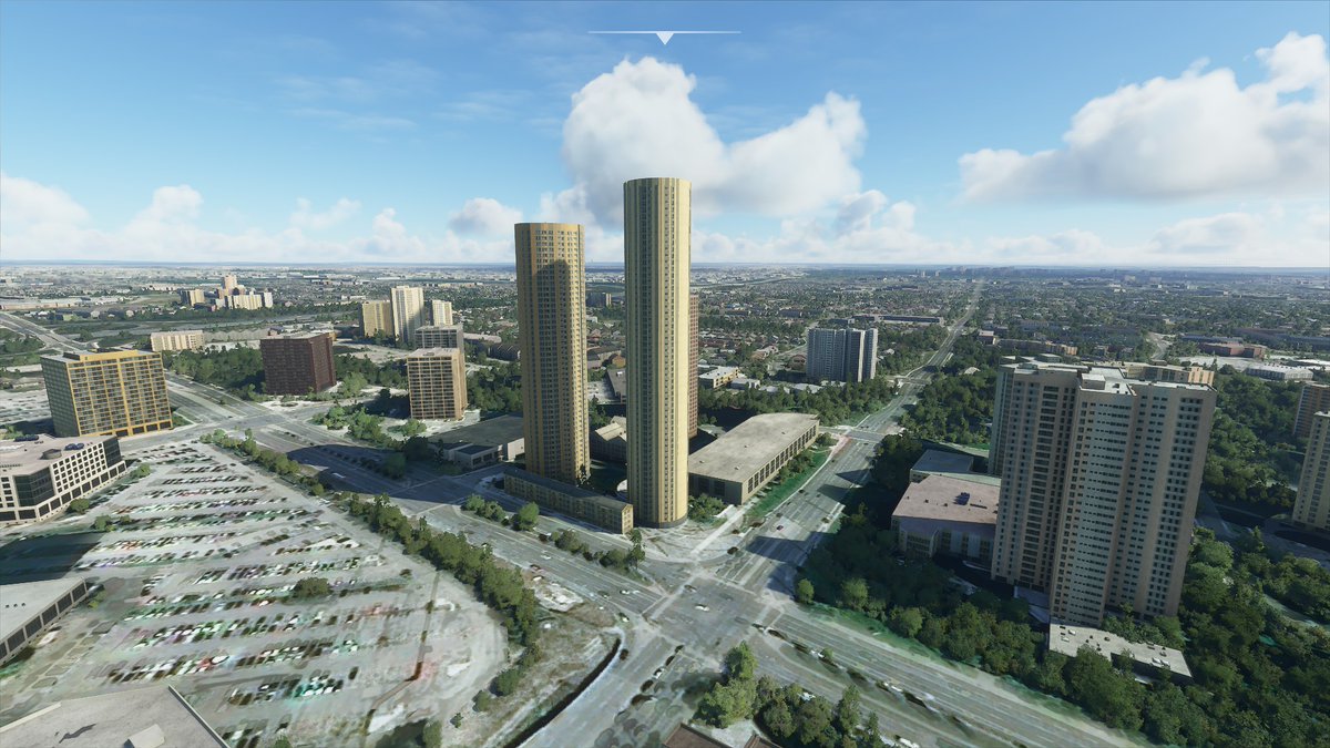
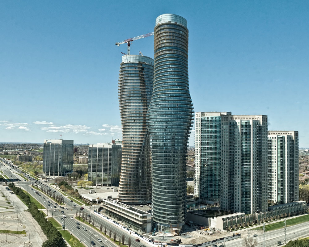
Overall, from what I've seen the AI is pretty good at recognizing what's a building and what's not, and estimating its shape and height, but it's got limits, obviously.
For example, Mississauga's famous "Marilyn Monroe" towers:
For example, Mississauga's famous "Marilyn Monroe" towers:
Over the coming days I'll update the thread with more in-game/IRL comparisons of places. I'm really curious to see how the game renders conflict zones, so I'll be checking those out.
Let me know in the thread if there are any places you'd like me to check out for you in #MFS2020
Let me know in the thread if there are any places you'd like me to check out for you in #MFS2020
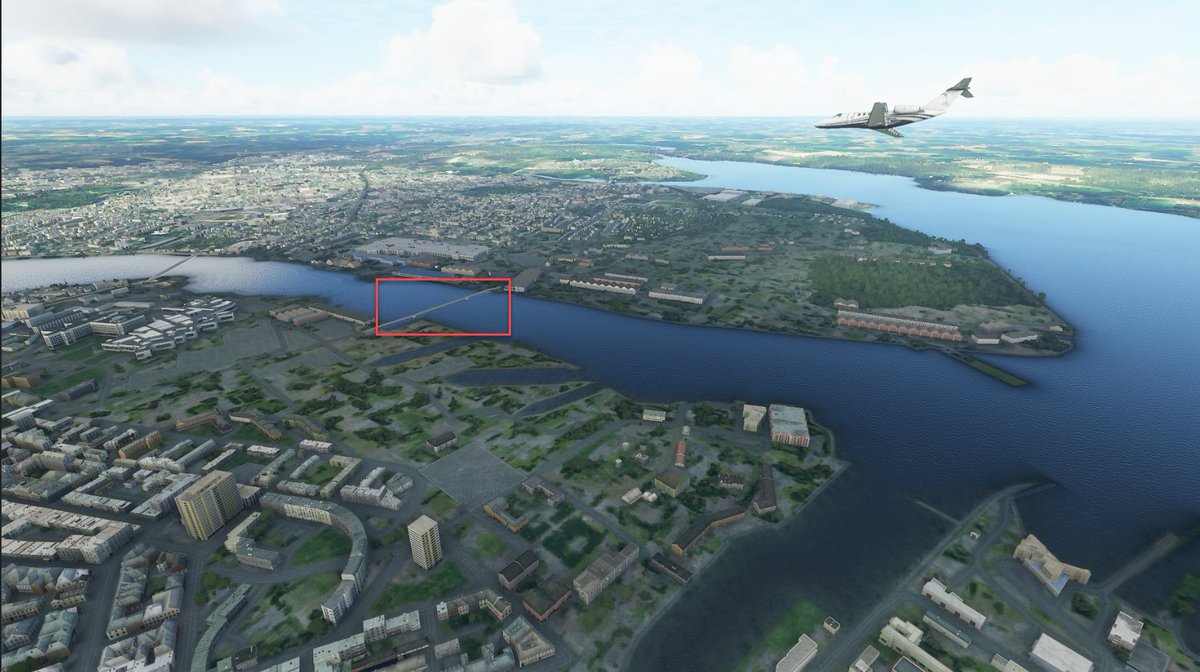
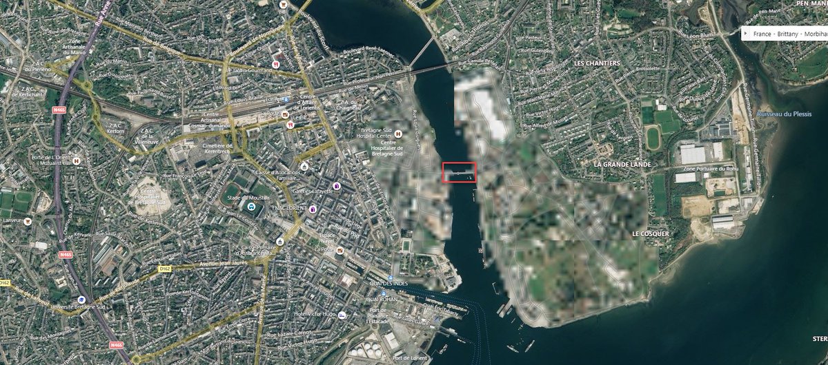
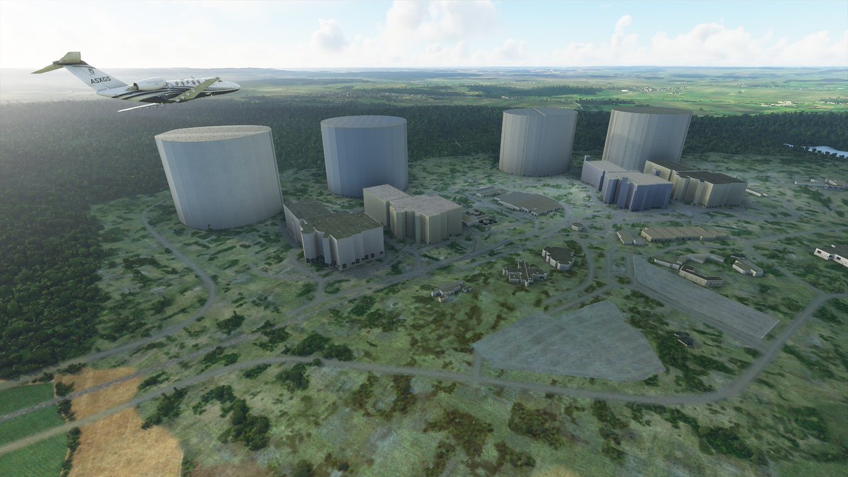
I checked a French naval base in Lorient that is pixelated in Bing Maps (which is where #MSF2020 is pulling its sat images).
The result: I think it's "pixelated" in the game, too! Notice the low density of buildings in the pixelated area in the game.
The result: I think it's "pixelated" in the game, too! Notice the low density of buildings in the pixelated area in the game.
Panmunjeon (left) looking west towards North Korea, and the Hodo Peninsula training facility (right) #MFS2020
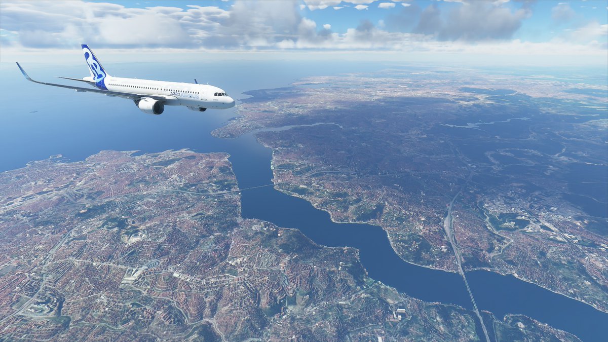
And this is what it looks like when you're flying over the Bosphorus and @YorukIsik takes a picture of you
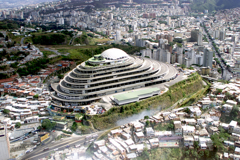
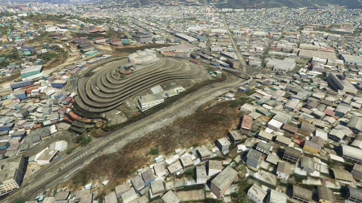
An interesting effort from the AI to render El Helicoide, which was designed in the '50s as a luxury shopping mall. Today it holds political prisoners and SEBIN offices #Venezuela #Caracas
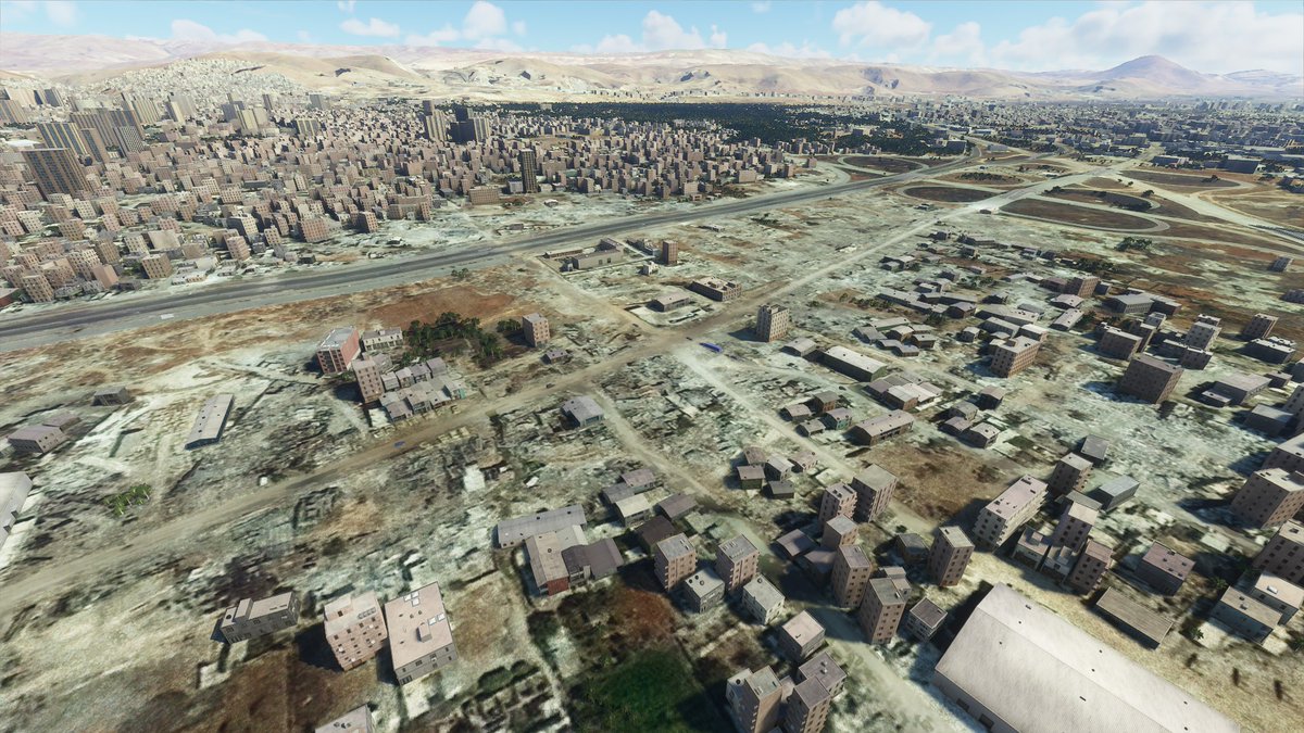
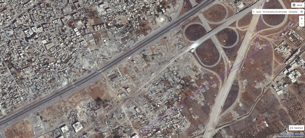
A leveled neighbourhood in northeast Damascus (33.543722, 36.344194) in #MFS2020
You can see destroyed buildings in the underlying satellite image in the game. The AI has rendered the buildings that were still standing.
You can see destroyed buildings in the underlying satellite image in the game. The AI has rendered the buildings that were still standing.
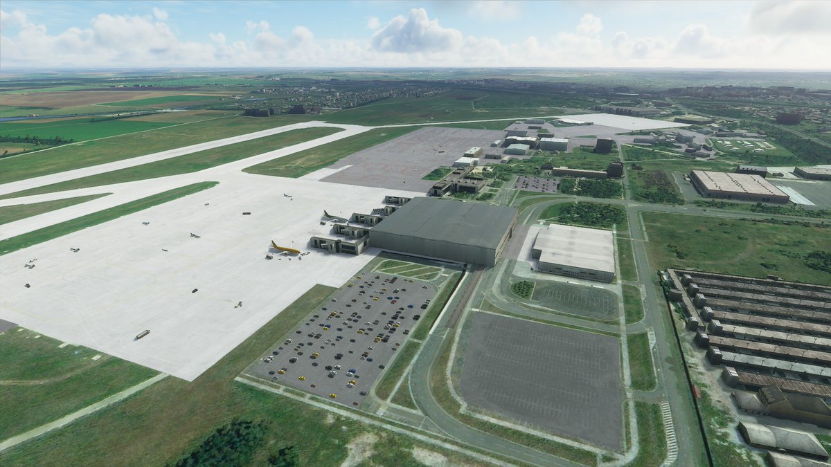
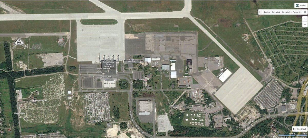
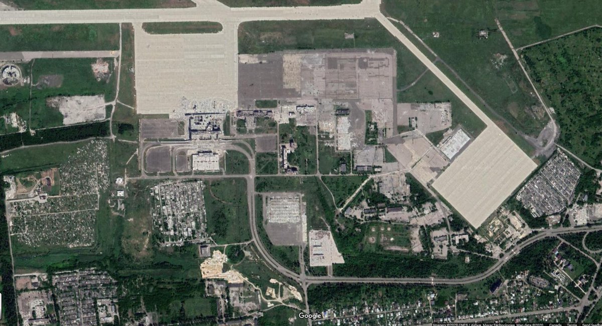
The Donetsk International Airport (DOK) is fully operational in-game. Airplanes at the terminal, GSE vehicles driving around, and cars in the parking lot.
The Bing Maps image shows little damage at DOK, but the more recent Google Maps image shows the destruction.
The Bing Maps image shows little damage at DOK, but the more recent Google Maps image shows the destruction.
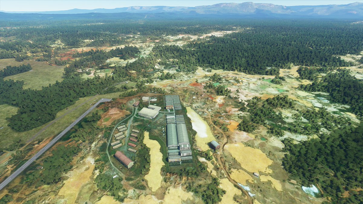
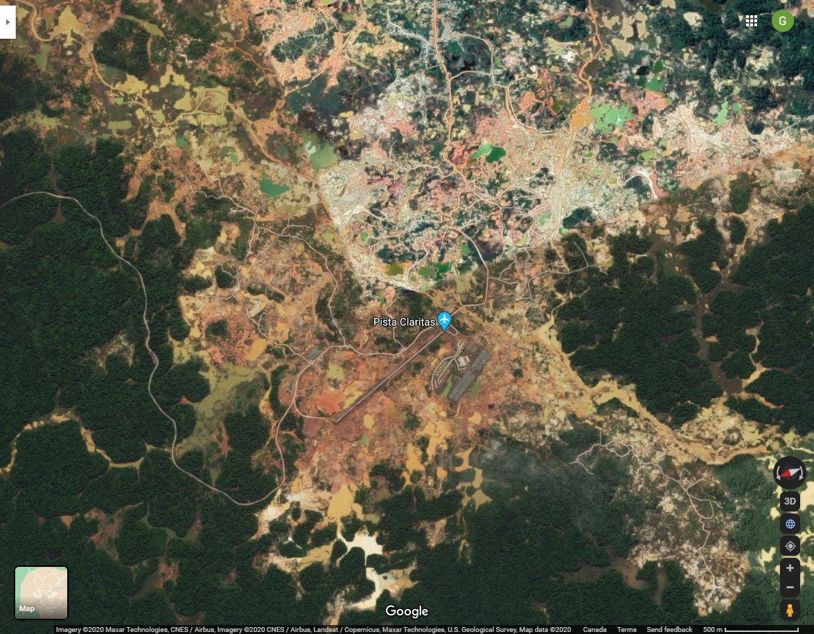
The Las Claritas mine in #Venezuela is as unfun to see in-game as it is to see in satellite imagery (6.196861, -61.469819) #MFS2020
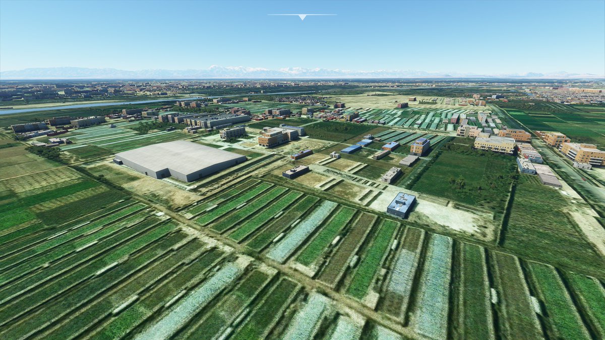
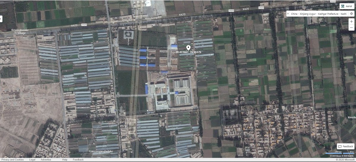
A "re-education" camp in Kashgar, Xinjiang (#2 on this list https://docs.google.com/spreadsheets/d/e/2PACX-1vR48u6lKYD21gv6mqM-2dV2lL8axuJ3yG5QJr2KNfG6bZNhy2dXDib_ZyFl9QKwvTRP0EBKZPYczwp9/pubhtml)

 Read on Twitter