Yesterday, @fab_hinz, @DaveSchmerler, @ian_j_stewart and I were wondering about one of the sites alleged to be a uranium mill in Saudi Arabia, near Al-ula. We were skeptical. https://twitter.com/ian_j_stewart/status/1291064173347123201
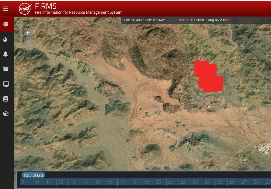
I mentioned to @fab_hinz that the ground around it had changed very dramatically in recent years. He thought it was surrounded by ... rubbish. Then, he looked at the @NASA fire map of the area. Someone does a lot of burning there.
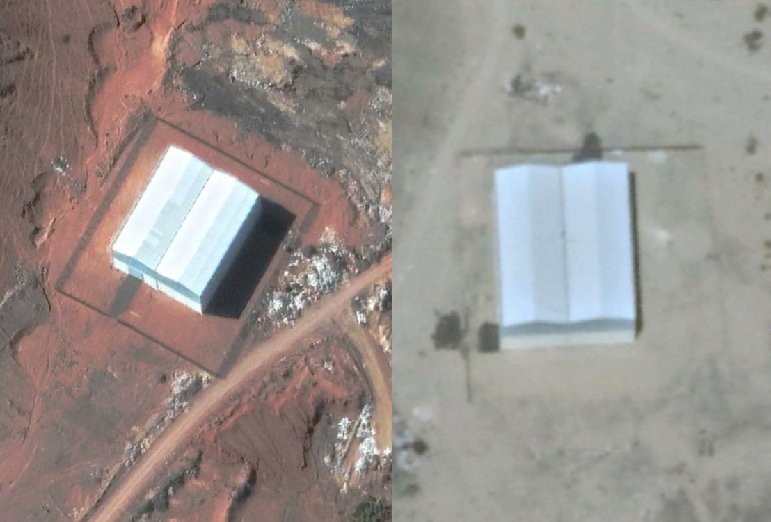
Fabian then checked other fire clusters in Saudi Arabia. And, at 24.629992, 38.440374°, he found a very similar building. The other building is a waste incineration plant.
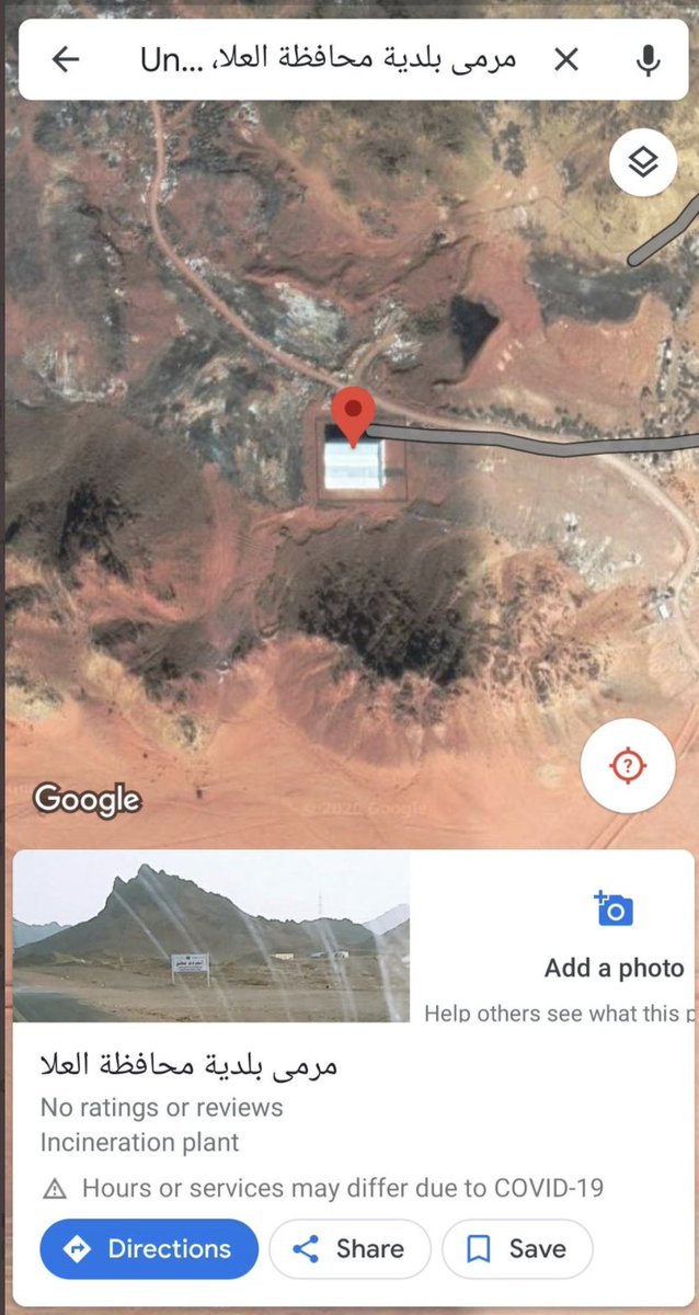
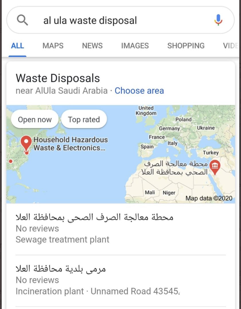
Then @DaveSchmerler typed in "Al Ula Waste Disposal" and ... there it is.
This is, as @TheGoodISIS itself notes, probably a waste incineration plant, not a uranium mill. This nicely illustrates the value of looking at different sorts of data *not just optical images* to understand what is occurring at a particular site. https://twitter.com/TheGoodISIS/status/1291744900007026688?s=20
I should add, this doesn't mean that there isn't a uranium mill someplace near Al Ula, just that this isn't it and that the search continues. /END

 Read on Twitter


