Alvaro Semedo (1585-1658). Portuguese Jesuit. First arrived in Guangzhou in 1613 where he died in 1658. Apart from a brief period (1637-1645) when he returned to Europe, he spent all his time in Canton, having mastered the language and witnessed the Manchu invasion 1/
Semedo's seminal book introducing China to the Western world was first published in his native Portuguese in 1642. Subsequent editions in Italian [1643], French [1645] and English [1655] followed.
From the 1642 edition, he made clear that China's southernmost part was Hainan 2/
From the 1642 edition, he made clear that China's southernmost part was Hainan 2/
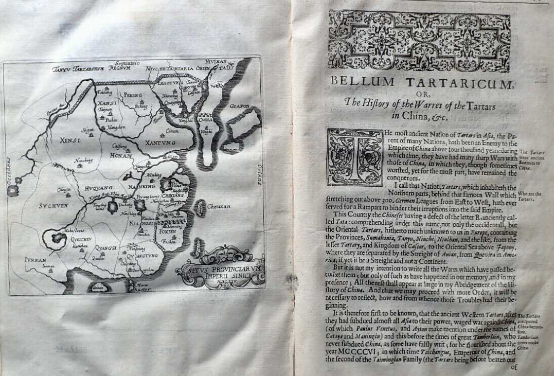
Only the English edition contained a folding map of China - drawn from geographical knowledge he learned from original Chinese sources. It was similar to the Purchas map obtained in Bantam in 1655 by an English captain, John Saris 4/
That edition also contained a non-folding map of China which was - like thousands of maps from China before or since - that Hainan was China's southernmost point 5/
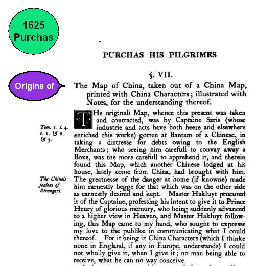
Here's the 1625 (not 1655, typo) Purchas map obtained from a Chinese merchant in Bantam, Indonesia by an English captain on his way to Japan 6/

 Read on Twitter
![Semedo's seminal book introducing China to the Western world was first published in his native Portuguese in 1642. Subsequent editions in Italian [1643], French [1645] and English [1655] followed.From the 1642 edition, he made clear that China's southernmost part was Hainan 2/ Semedo's seminal book introducing China to the Western world was first published in his native Portuguese in 1642. Subsequent editions in Italian [1643], French [1645] and English [1655] followed.From the 1642 edition, he made clear that China's southernmost part was Hainan 2/](https://pbs.twimg.com/media/EeGEGUkUYAAZAD-.jpg)
![The English translation [1655] The English translation [1655]](https://pbs.twimg.com/media/EeGEWU2U4AIxPGz.jpg)


 China's spin about the SCS is unadulterated myths & lies.


