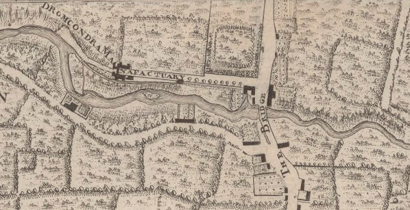
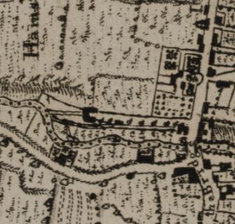
A sequence of #maps teasing out the story of the #mills on the #Tolka in #Drumcondra, west of the bridge, beginning with Rocque 1757 again. Note the mill race, island in the river and the line of what becomes Botanic Ave. The 1760 county map has less detail but gives context /1
Taylor's 1816 map of the same location shows the complex of 'Drumcondra Mills' (probably site of the linen manufactory) and a second (flour?) mill at the bridge. The meanders on the river appear more pronounced - how reliable are our cartographers? /2
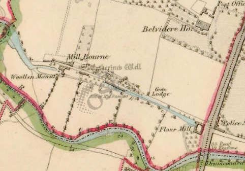
By the 1st edn OS we can see a 'woollen manuf.' and the flour mill, apparently using the same mill race /3
There's much better detail on the parish map of 1868, where the woollen manufactory has become a pin mill, while the flour mill is named, along with the sluice. The smithy was just across the road /4
With lots of development in the Township era, the landscape has changed significantly by the 1907-surveyed OS sheet, with new streets (Millmount and Millbourne) and the school, when we zoom in we can see the new course of the mill race /5
By 1935-6, the Tolka had become the focus for two new industrial operations - Erin Knitwear and Lemon's Sweets @PaulCrowe9. The line of the river has been changed as it flows through the new park, with the ward boundary preserving the previous course /6
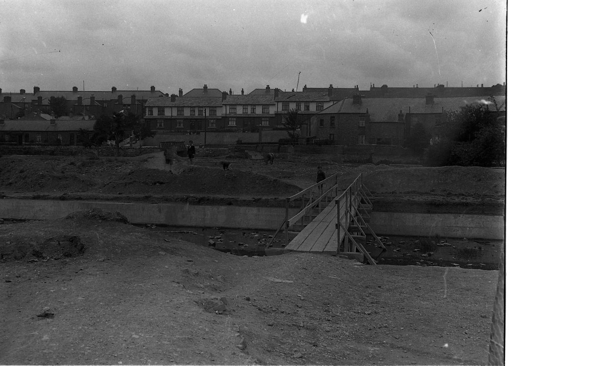
Dublin City Council has photos of the work involved in developing #GriffithPark, including this image of a temporary bridge, looking south towards Mannix Road http://digital.libraries.dublincity.ie/vital/access/manager/Repository/vital:43638 @dubcilib /7

 Read on Twitter


