My trip from Karachi to Nathiagali
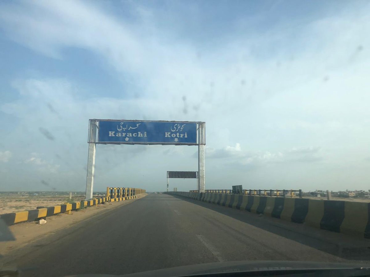
Total driving time 18-19 hours
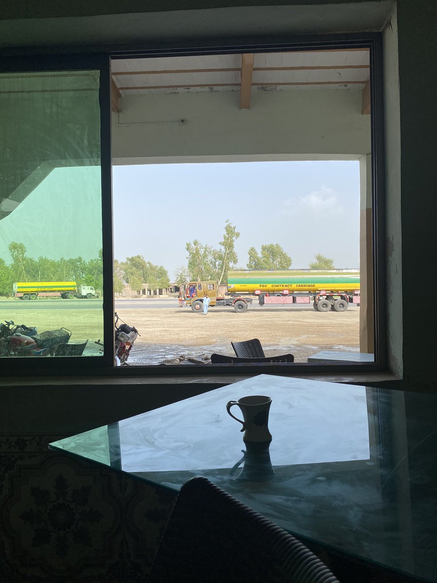
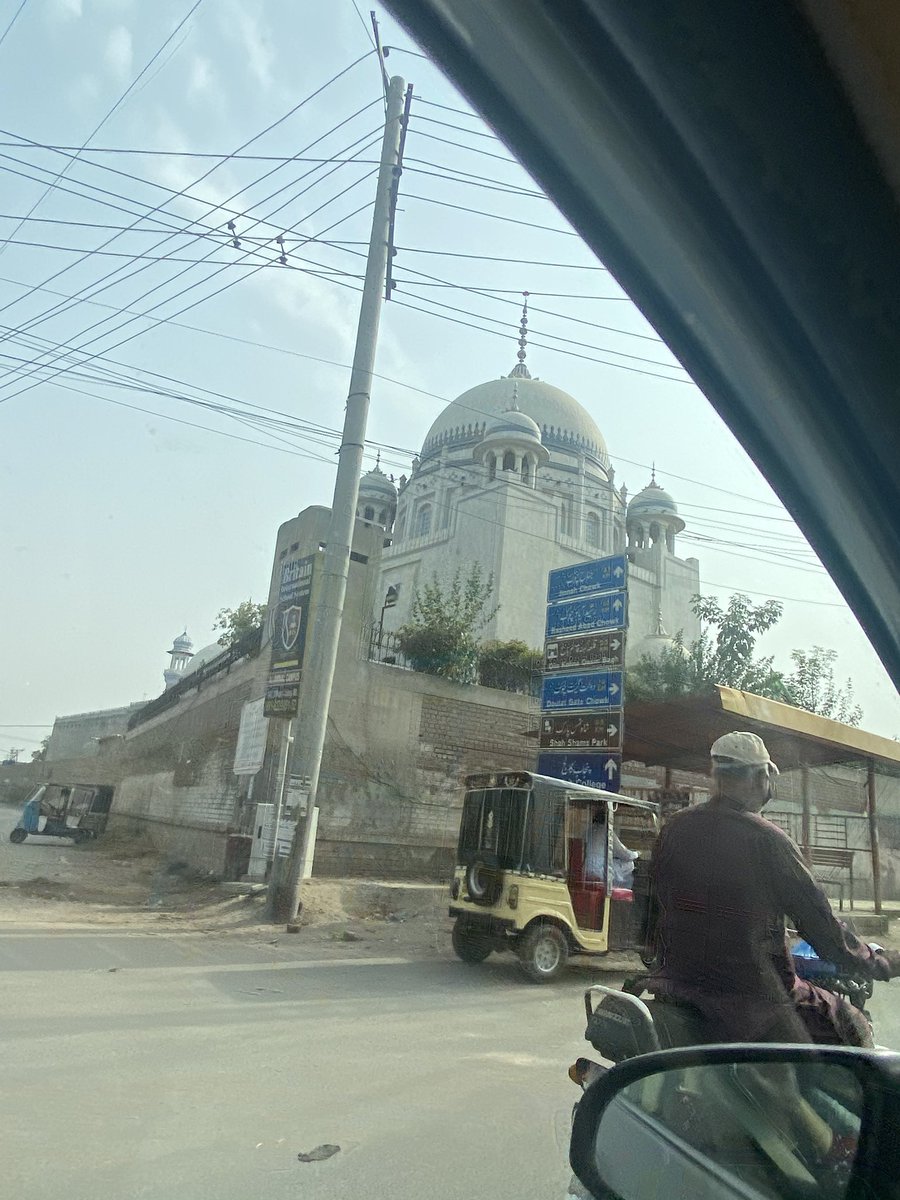
I stopped in Multan at the highly recommended Avari Express in Cantt
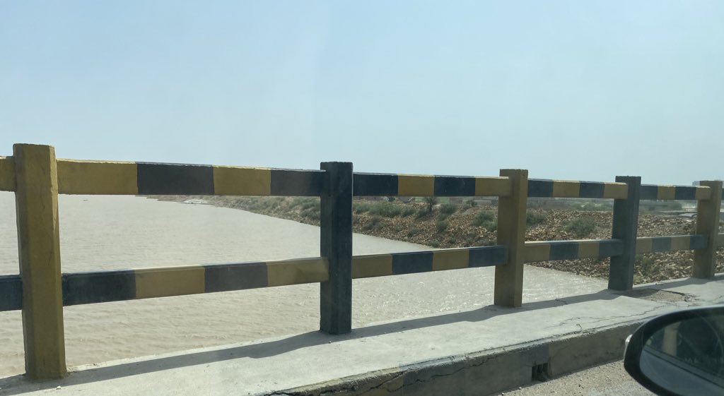
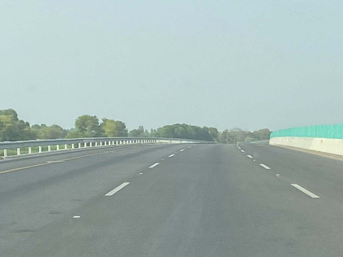
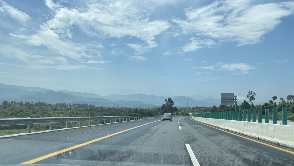
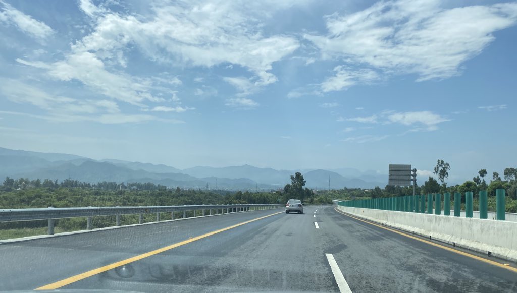
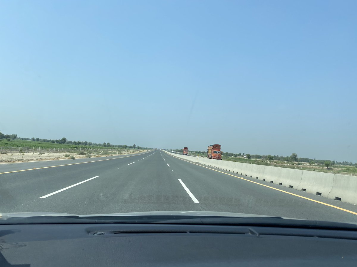
Khi to Multan takes 10-11 hours - Sukkur-Multan M4 is like any highway (or even better) in the US
Google Maps was the only thing I relied on
Total driving time 18-19 hours
I stopped in Multan at the highly recommended Avari Express in Cantt
Khi to Multan takes 10-11 hours - Sukkur-Multan M4 is like any highway (or even better) in the US
Google Maps was the only thing I relied on
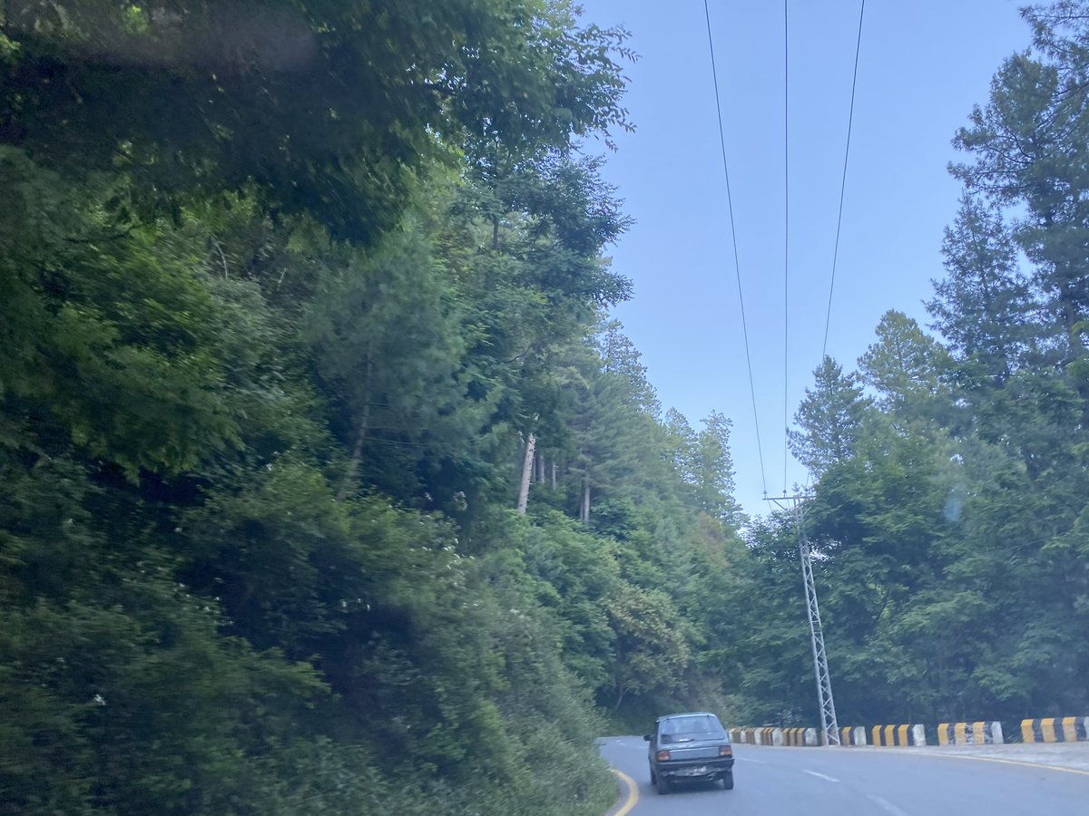
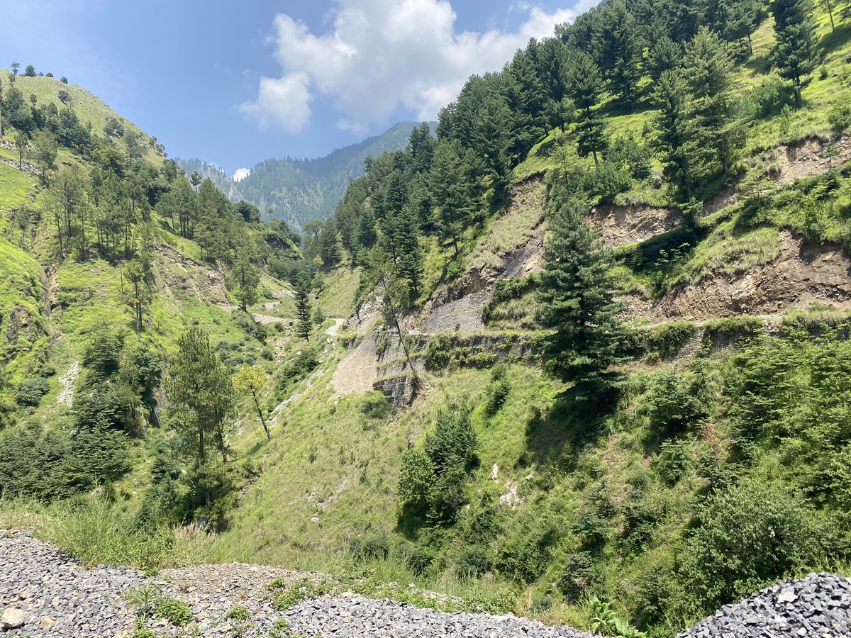
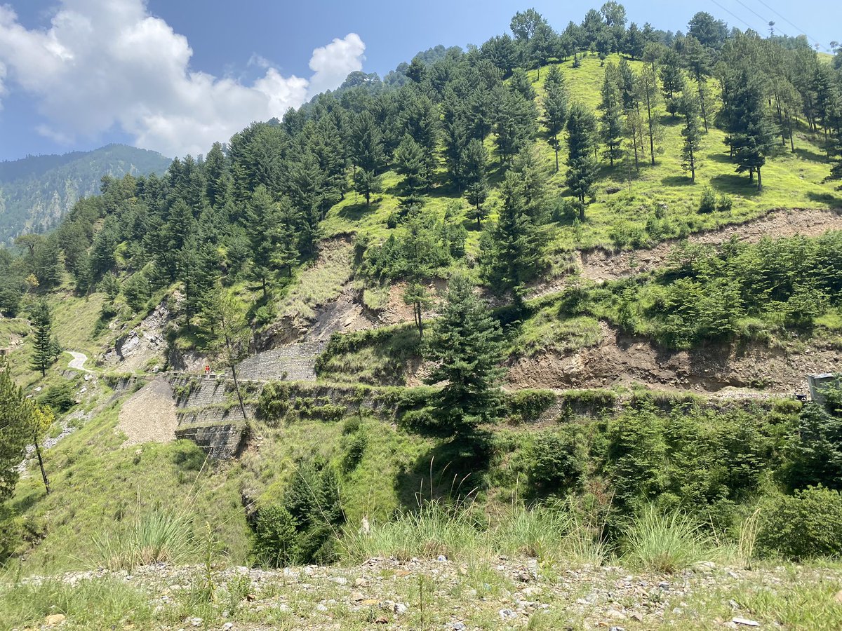
After a night stopover in Multan headed to Nathiagali - The quicker route is one that bypasses Islamabad and takes you from the Abbottabad side - via the newly opened Hazara Expressway which has some great panoramic views of the surrounding plain and hills
Reached Nathiagali in 8 hours driving time - the Hazara Expressway was a great to drive on - then you go on the N35 (the famed Karakoram Highway m) which is much narrower though and goes to Abbottabad- a bustling town which is often used as a place to fill up on supplies
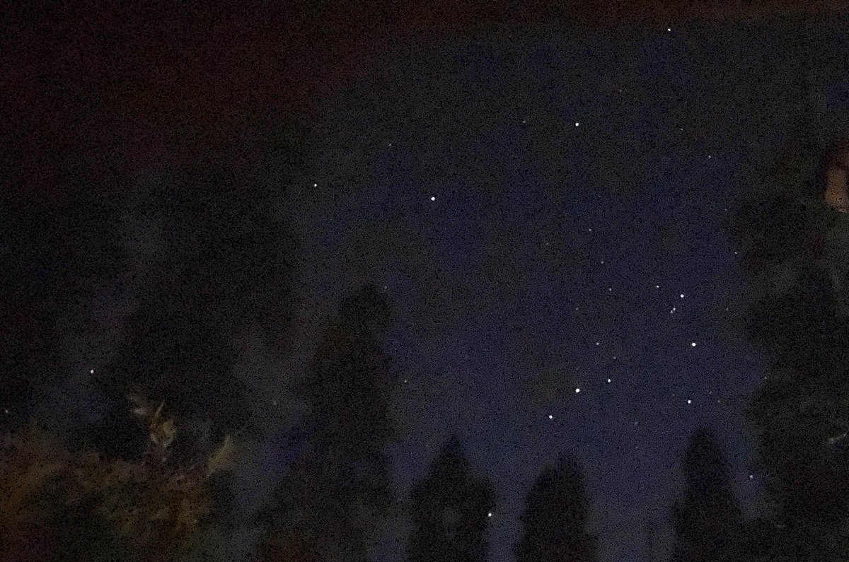
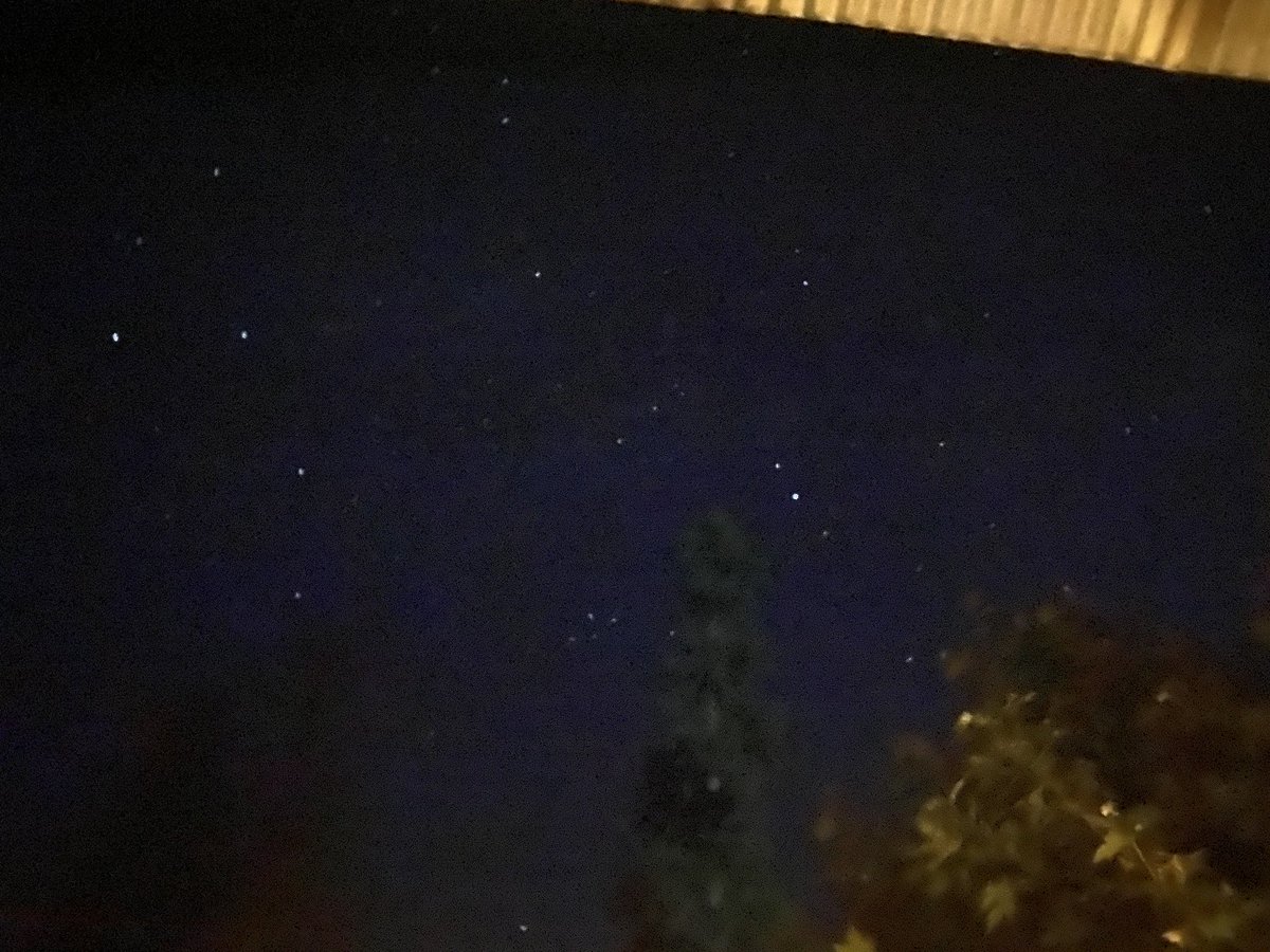
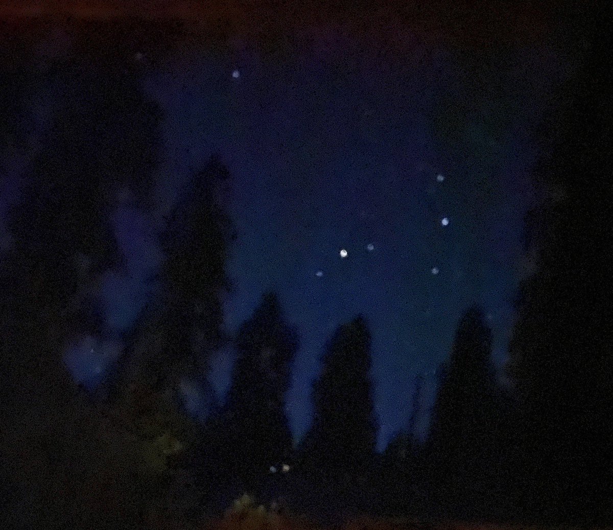
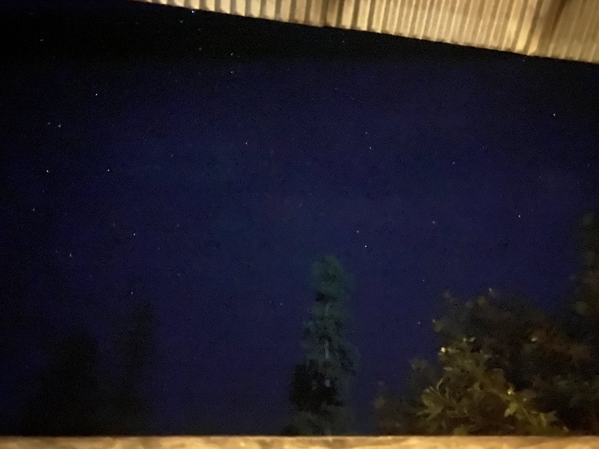
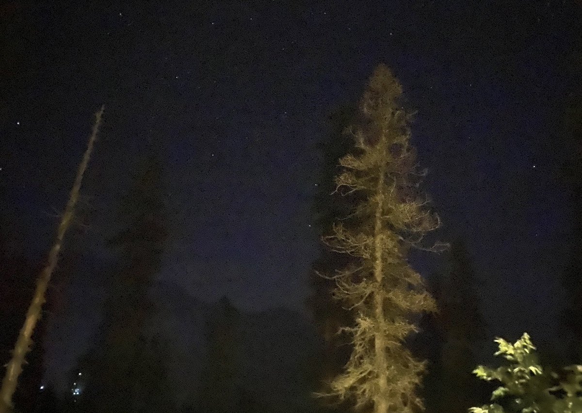
Saw a fantastic starry night - saw a couple of shooting stars (no pics of those unfortunately - the chilly weather made me forget Karachi’s hot and humid weather - and power breakdowns - and flooded streets
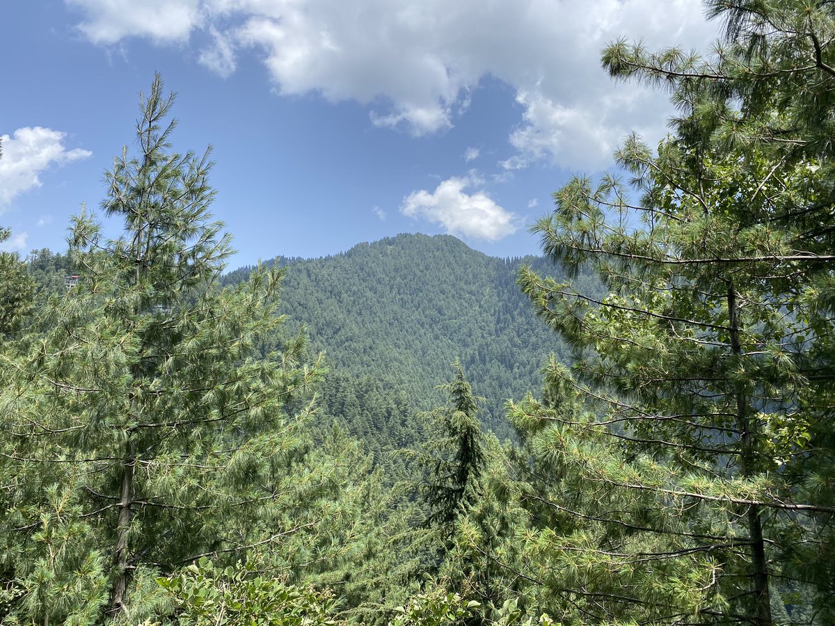
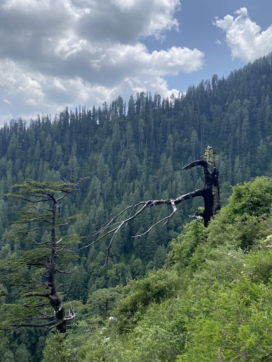
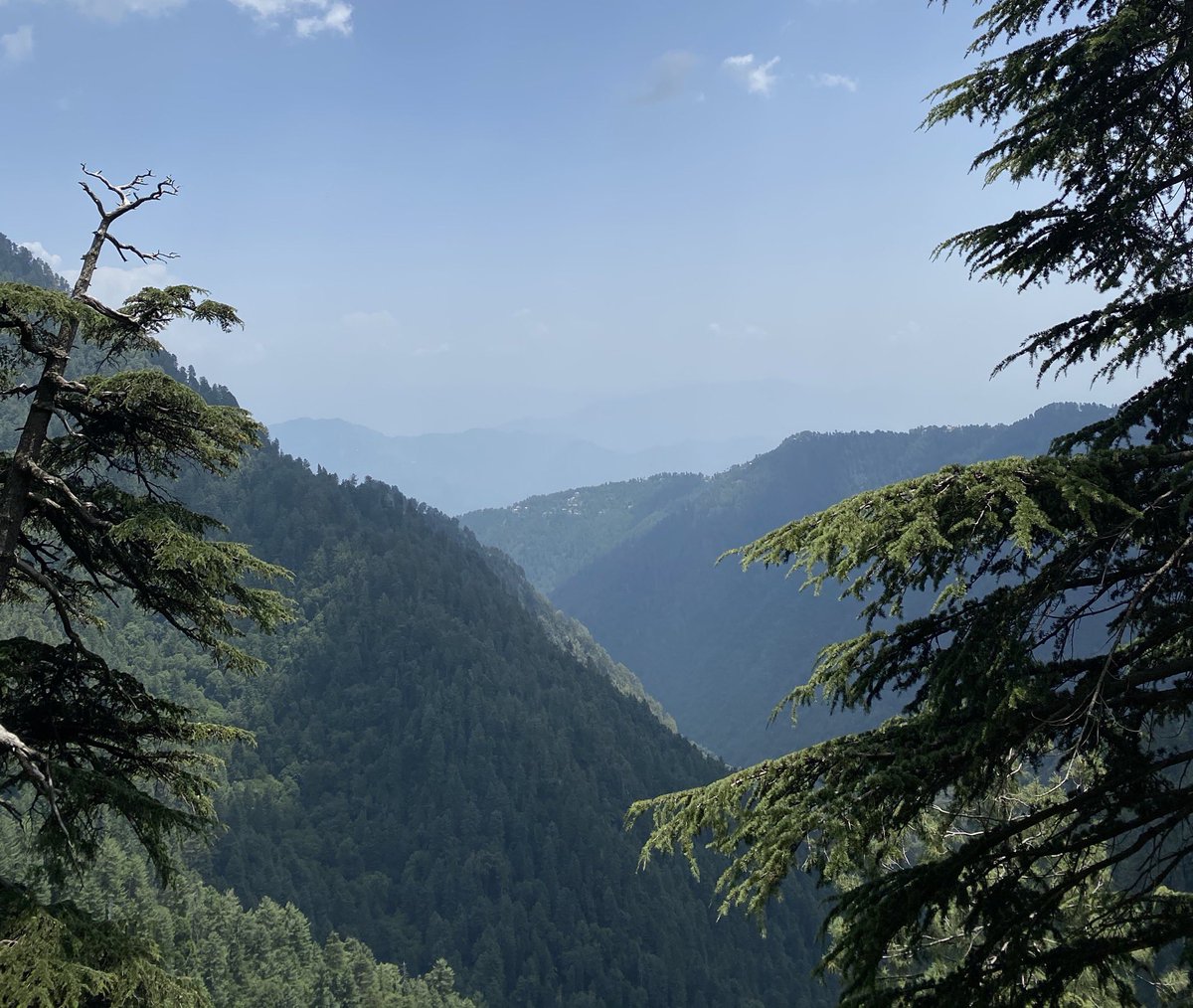
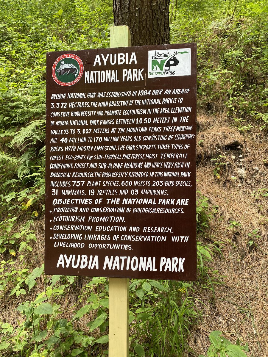
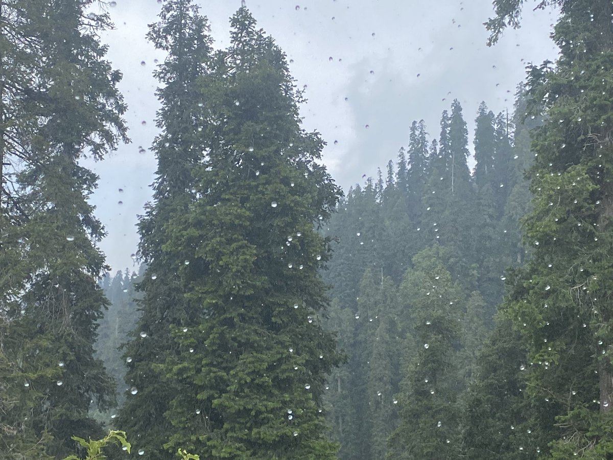
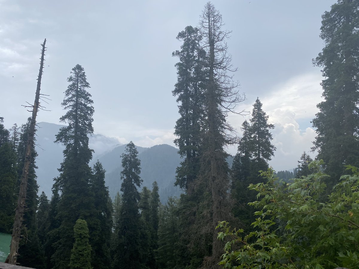
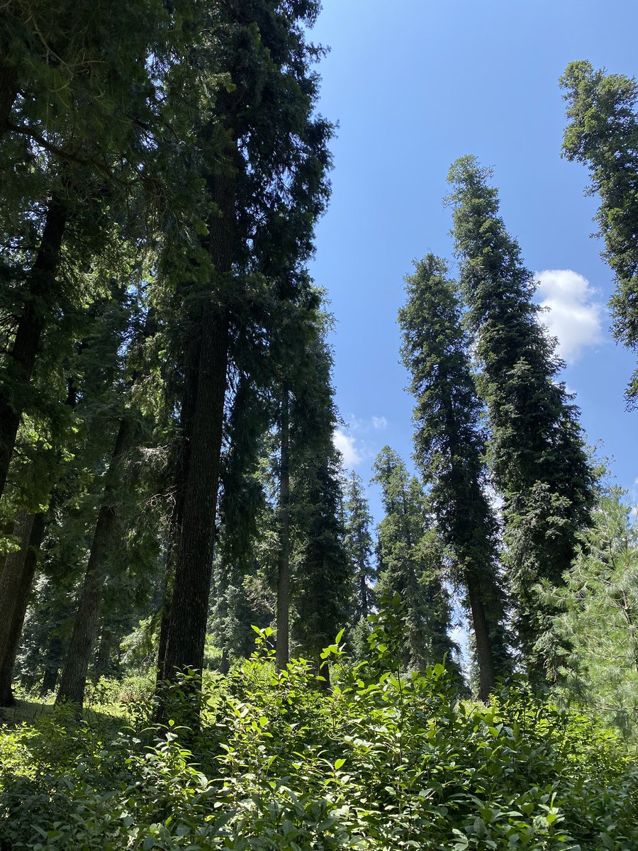
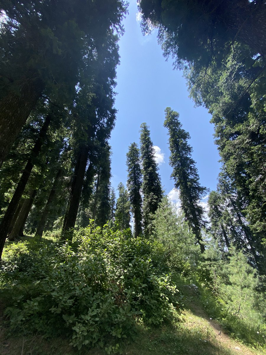
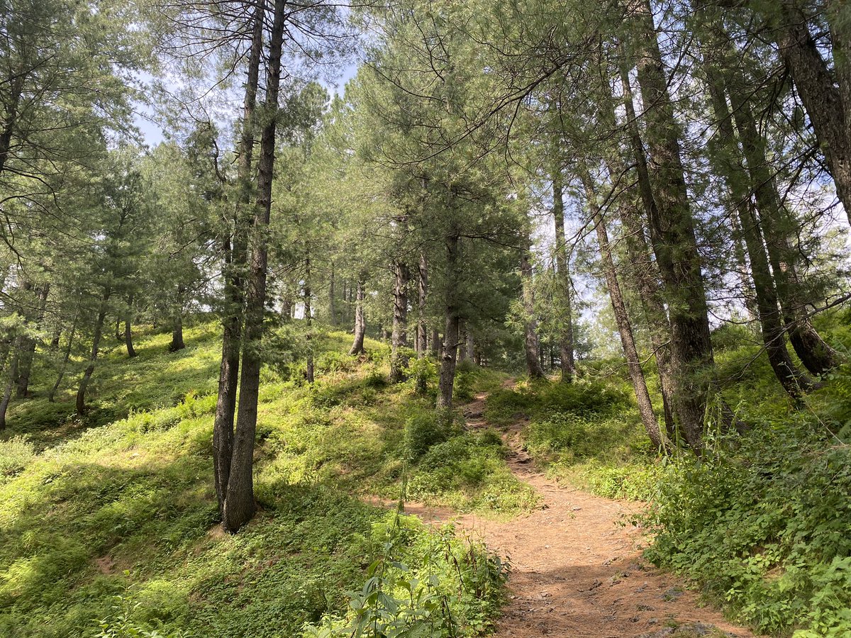
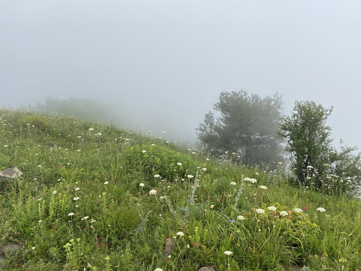
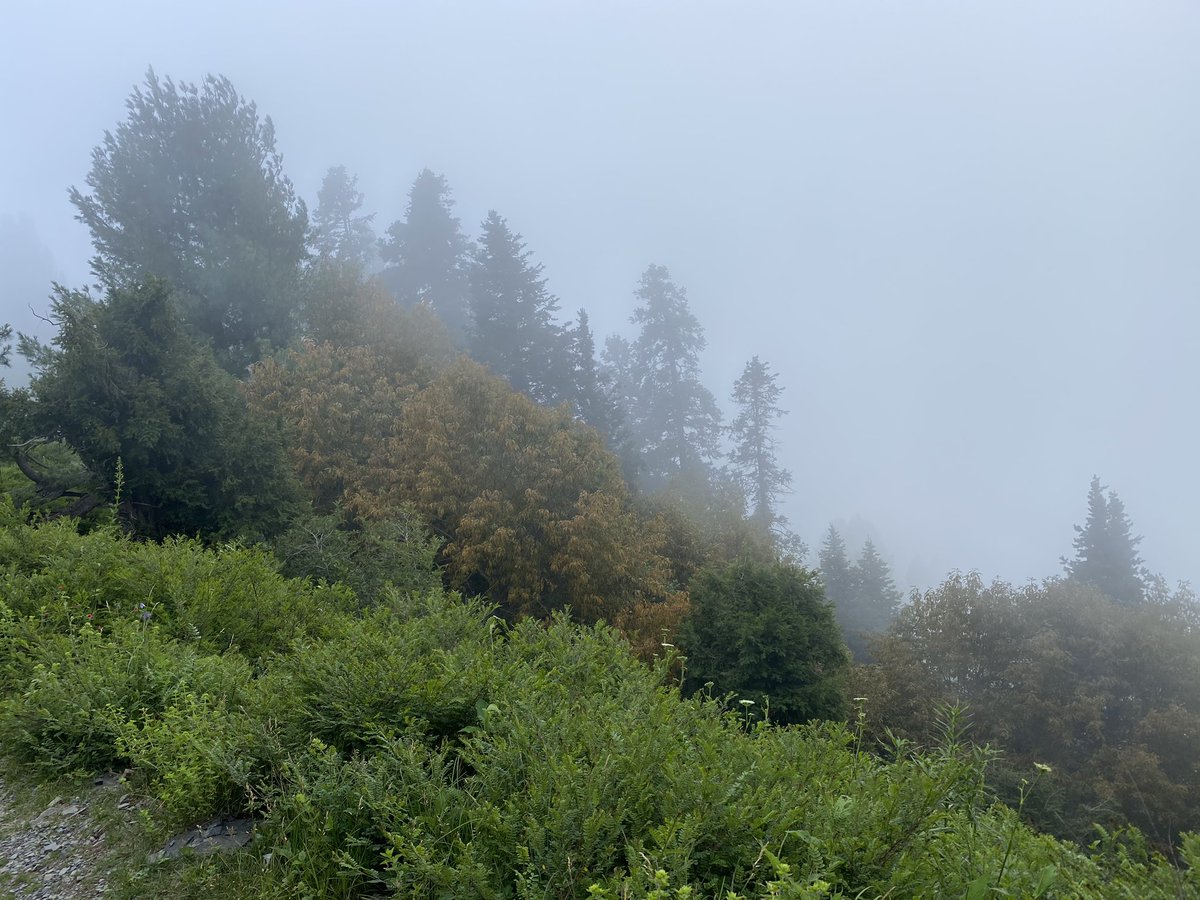
Did the well known pipeline walk. Starts in Dungagali bazar and ends in Ayubia (or vice versa) - goes through one of Pakistan’s best examples of Himalayan coniferous forest - animals found here include the leopard and the golden eagle
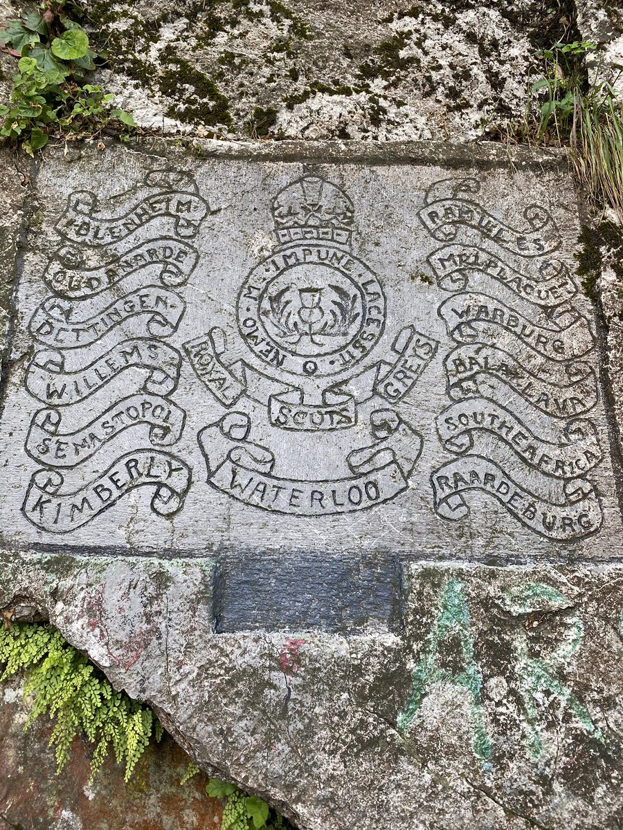
The pipeline walk is known for the water pipeline along it dating it from the times of British Rule - there’s a plaque at the Ayubia end with mention of the insignias of the British Army - a date of 1919 is engraved on one of the rocks
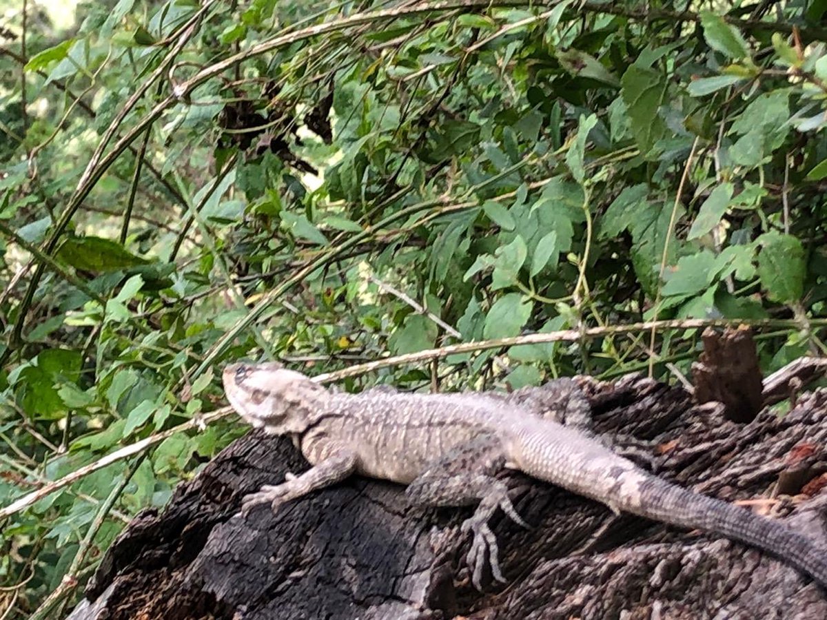
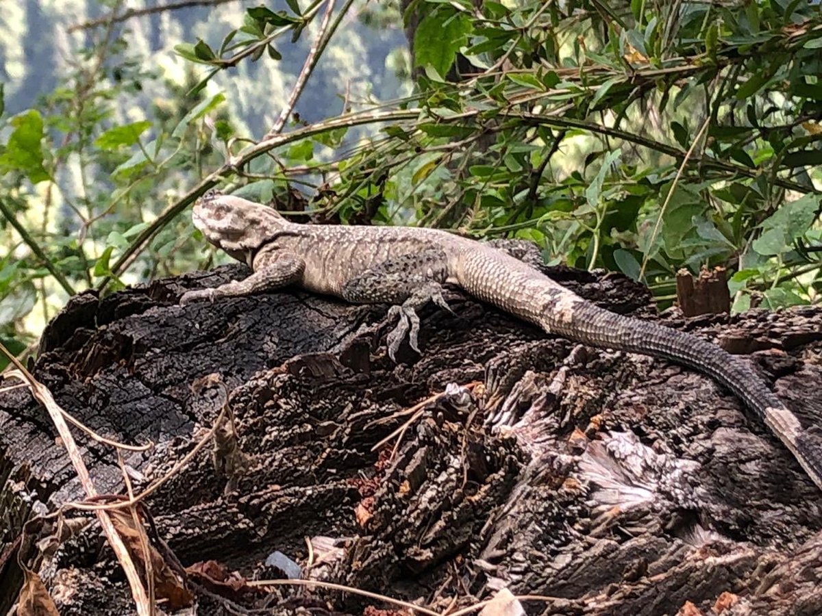
On the pipeline walk also saw a large lizard - looked liked a monitor - the leopard I was told stays in the higher reaches of the forest in summer
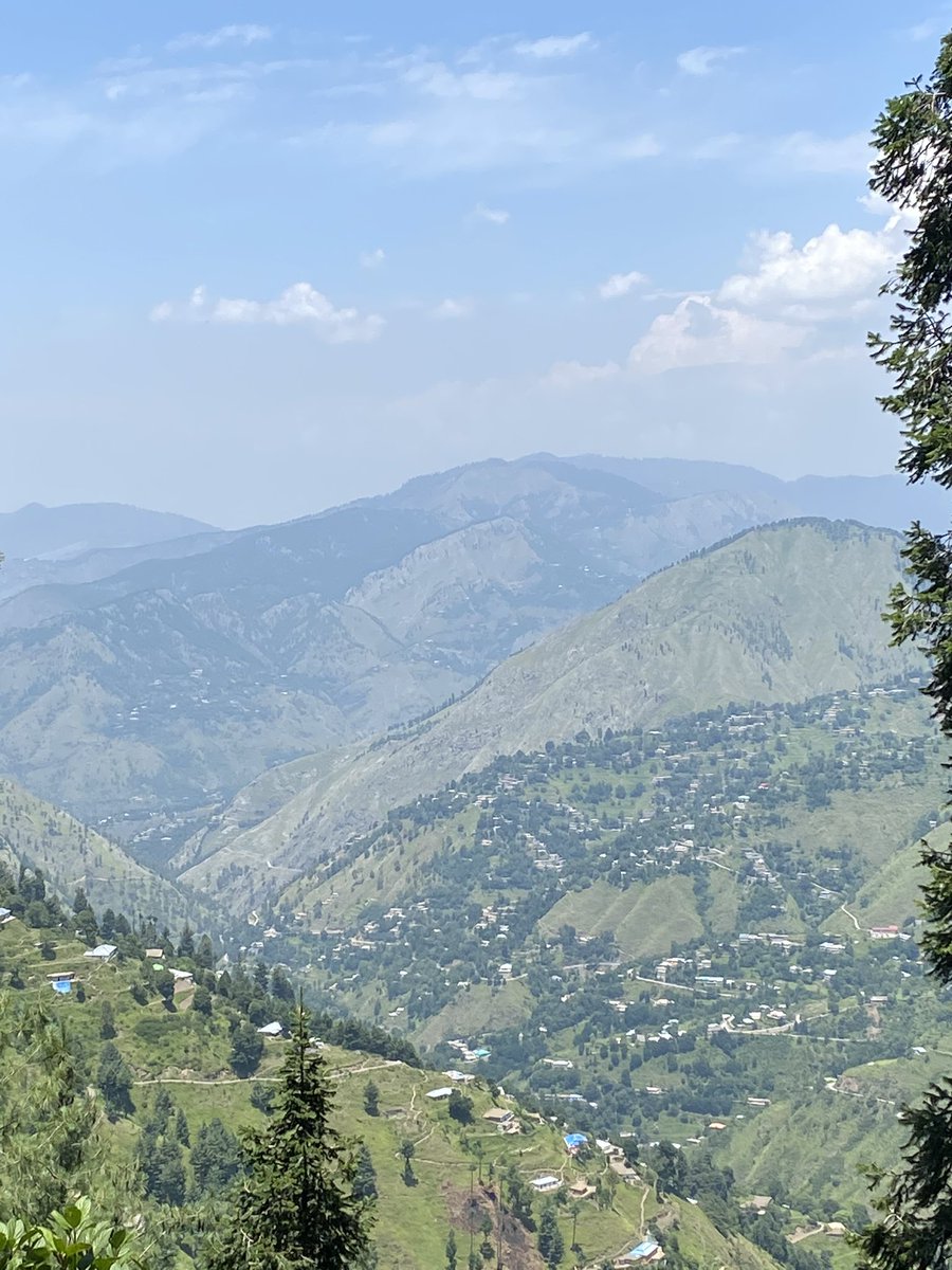
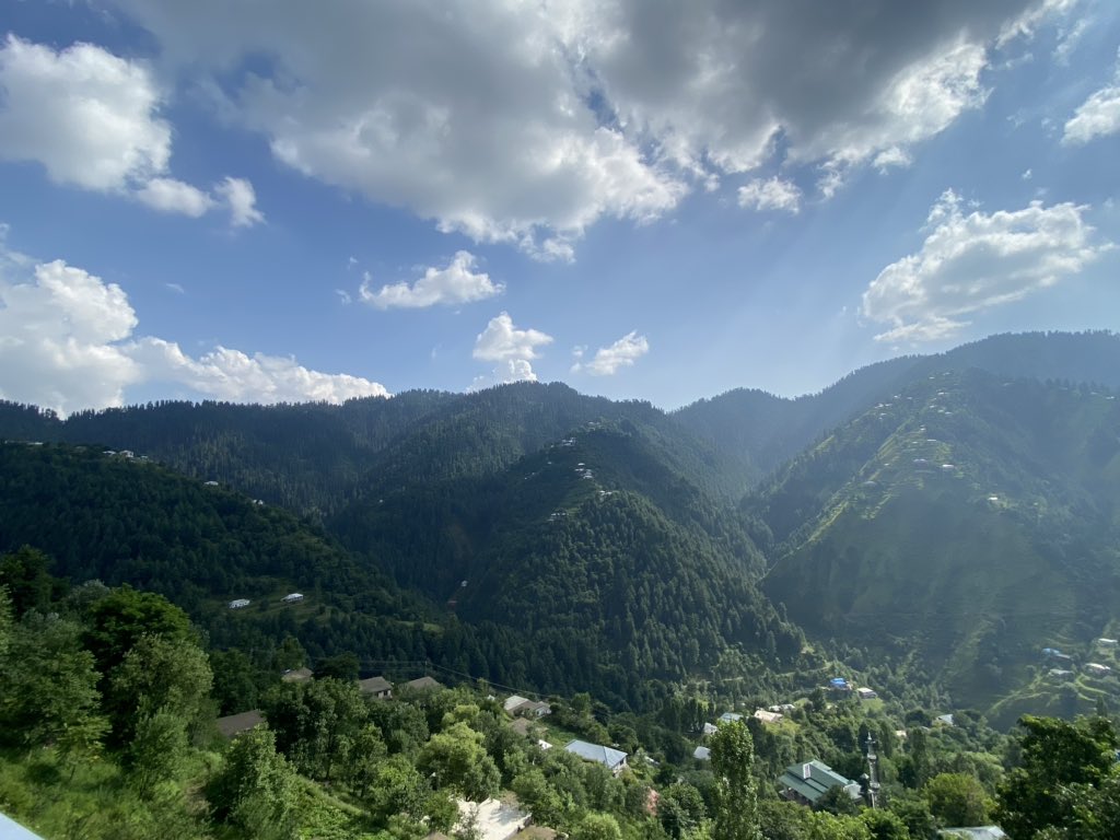
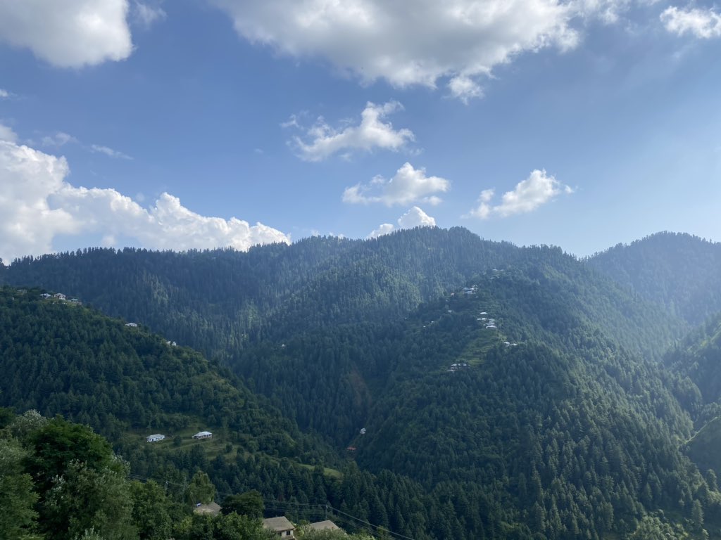
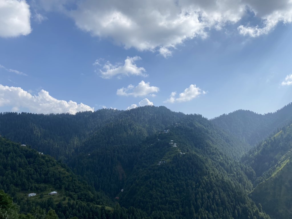
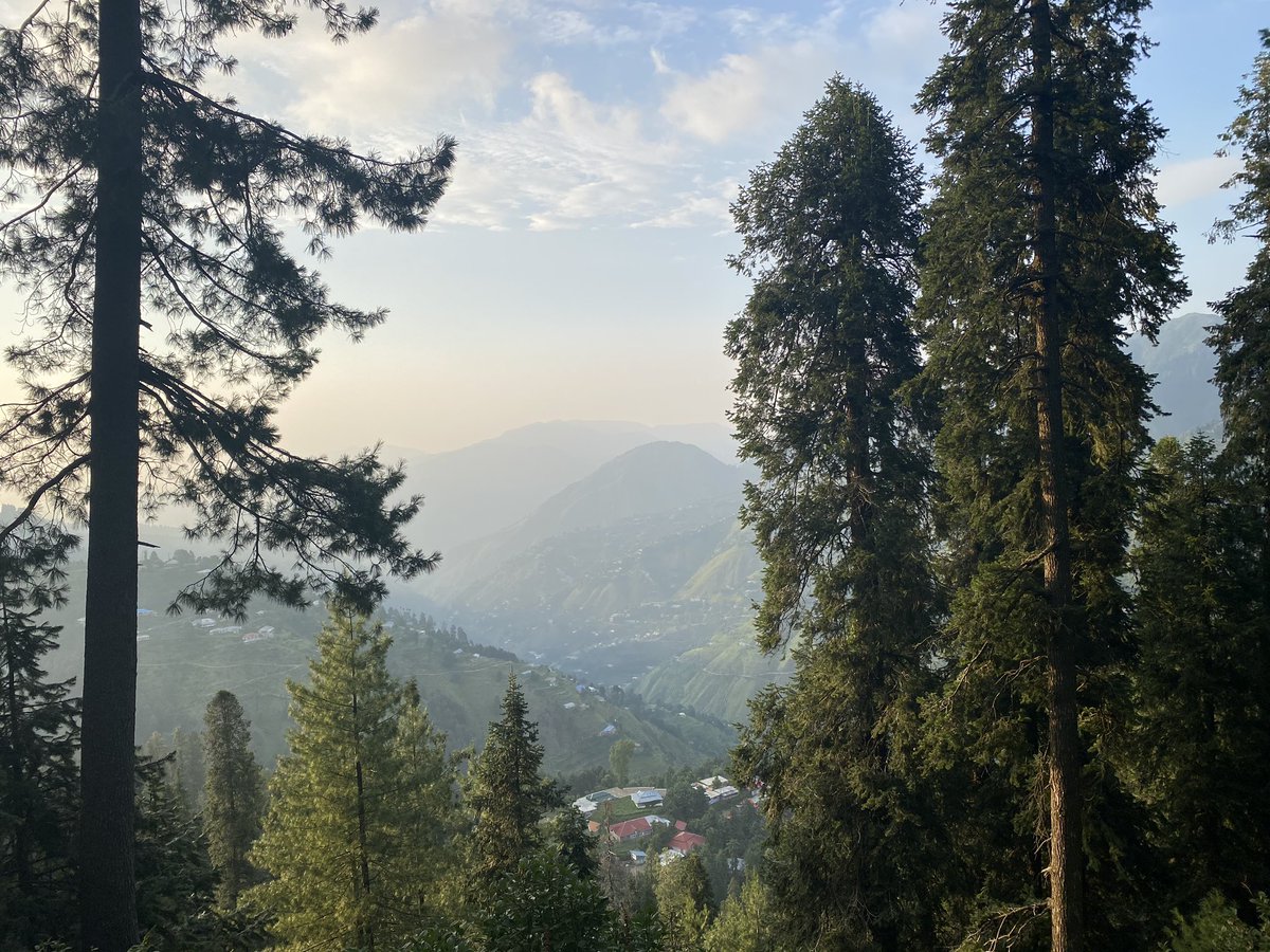
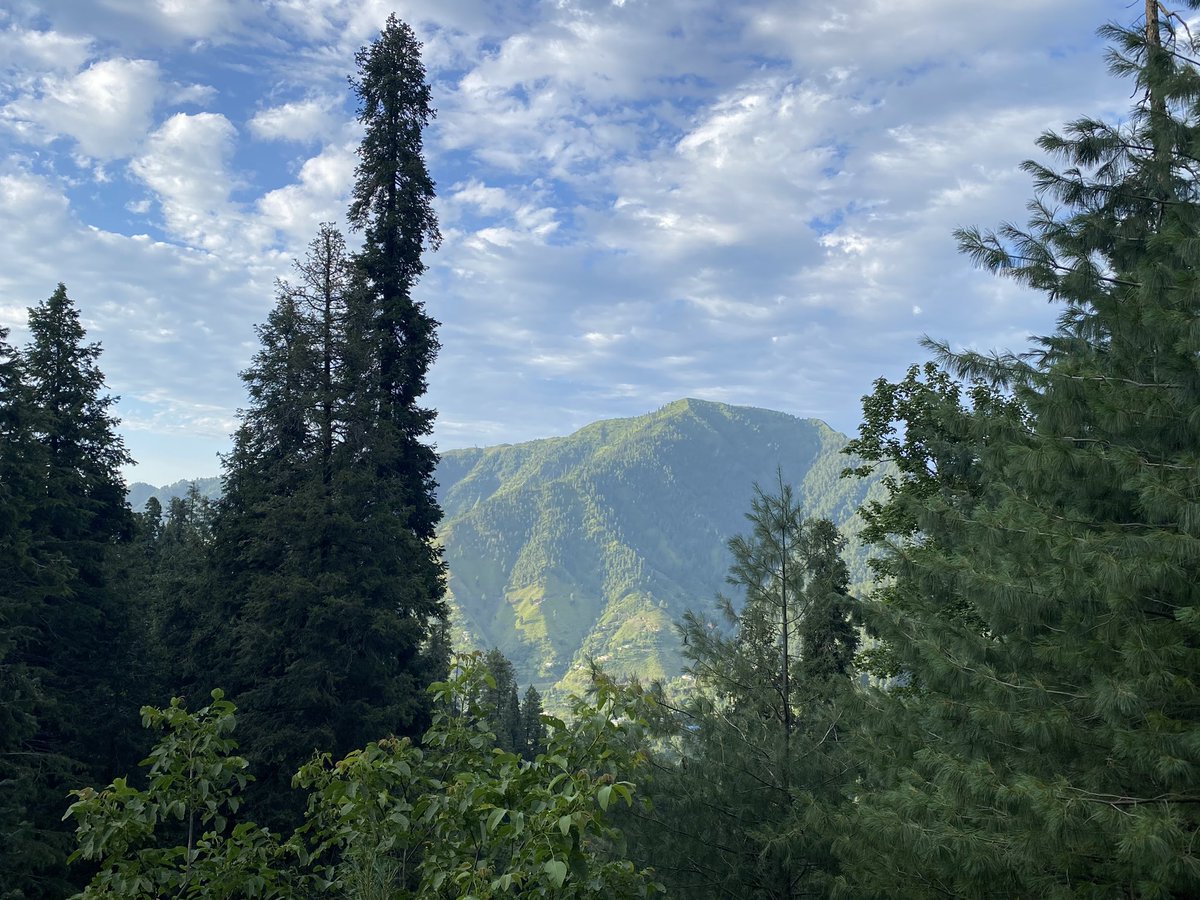
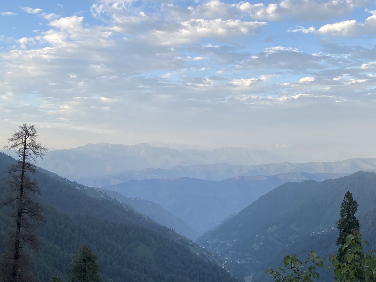
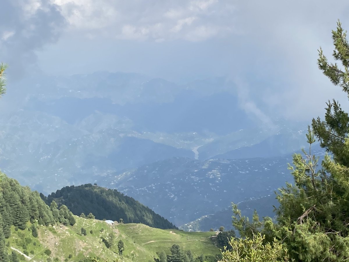
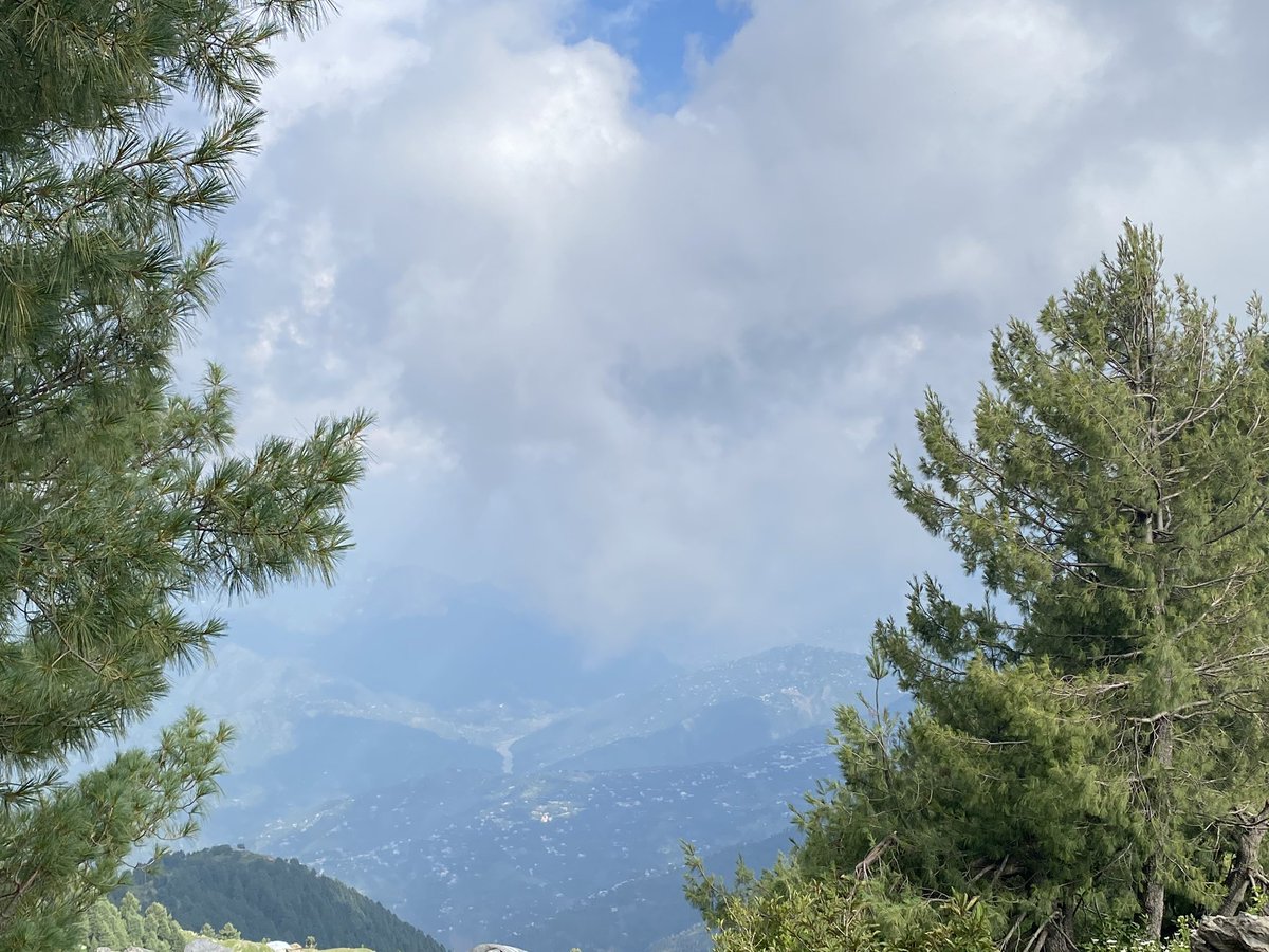
The views from the balcony in Nathiagali were magnificent - to say the least - on a clear day you could see well into Indian Occupied Kashmir
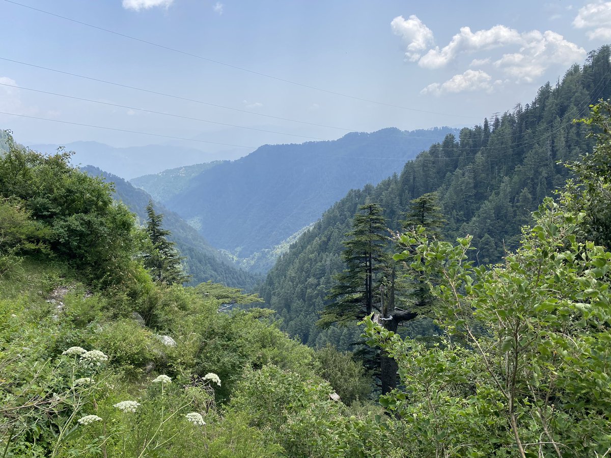
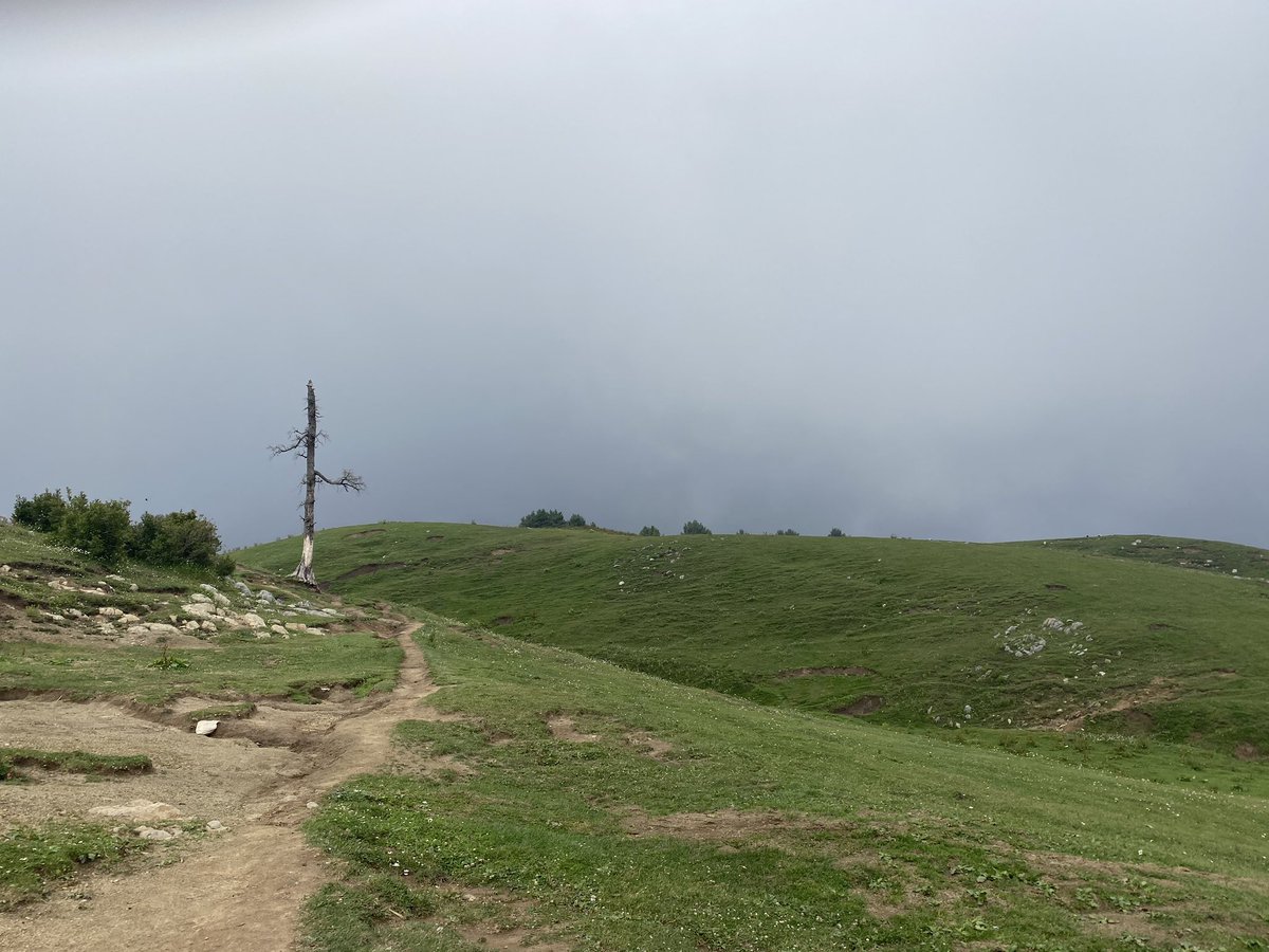
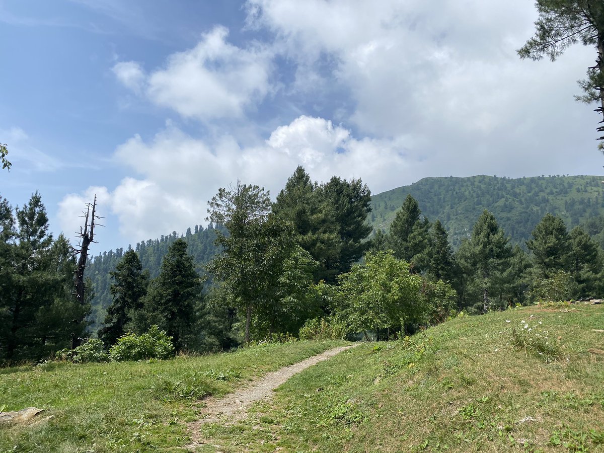
Found a quaint trail five minutes walks from the place I was staying with amazing views - the hills here in the background are AJK and the LoC
Also did the walk to the University of Peshawar Bara Gali campus - a gentle easy walk of a few kilometres
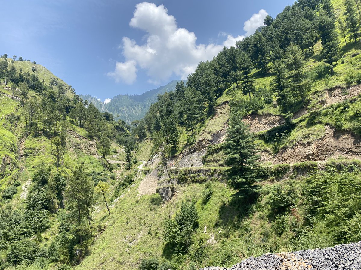
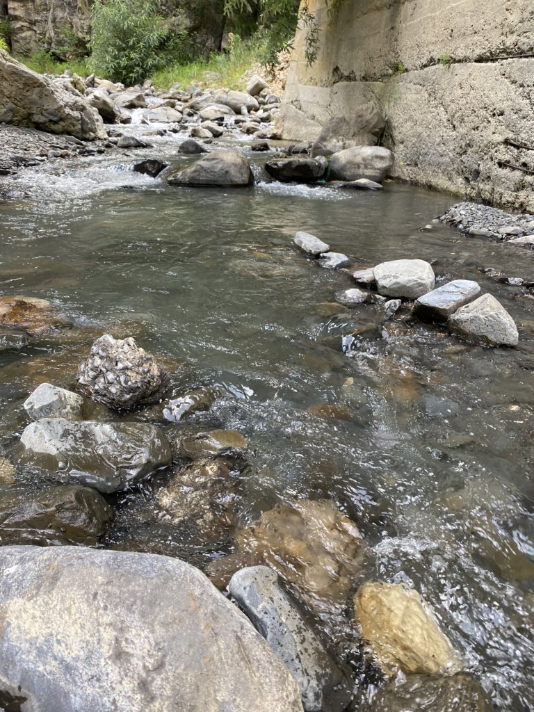
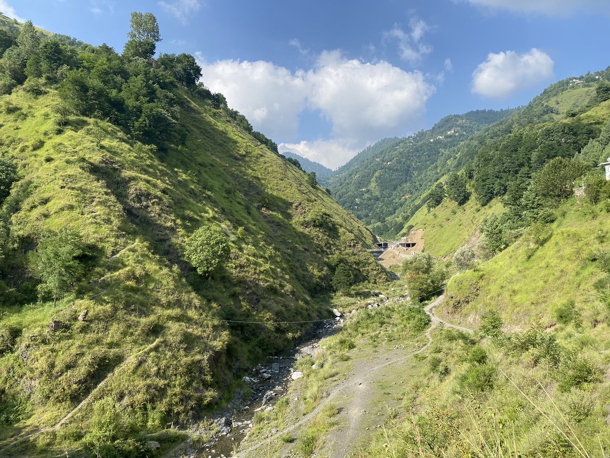
Took a trip to a mountain stream near the village of Namli Maira - that’s also the name of the local Union Council - was around 10 kms towards Abbottabad from Nathiagali - and lower and warmer - but the greenery was astounding
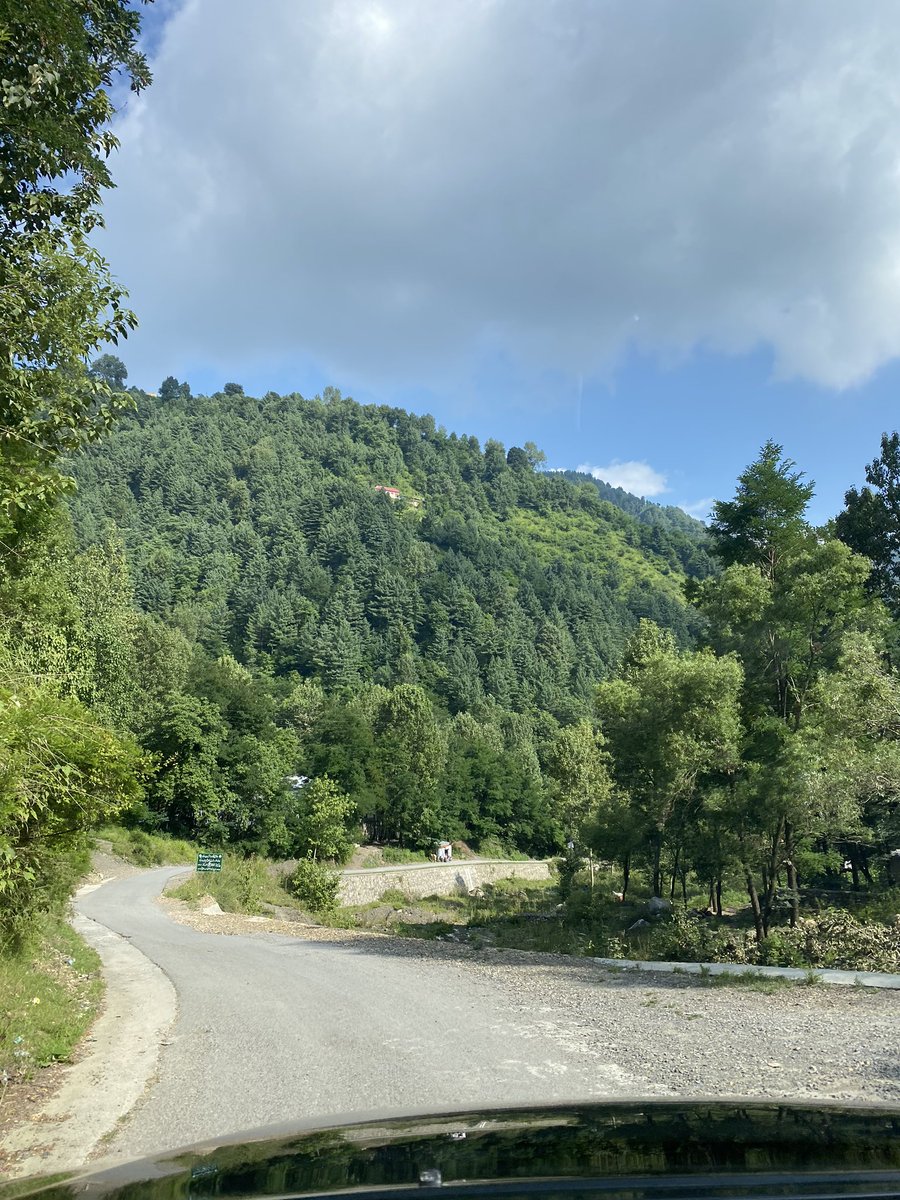
The drive back from the stream was very picturesque as well - on an older road back to Nathiagali entering it via the Governor’s House road
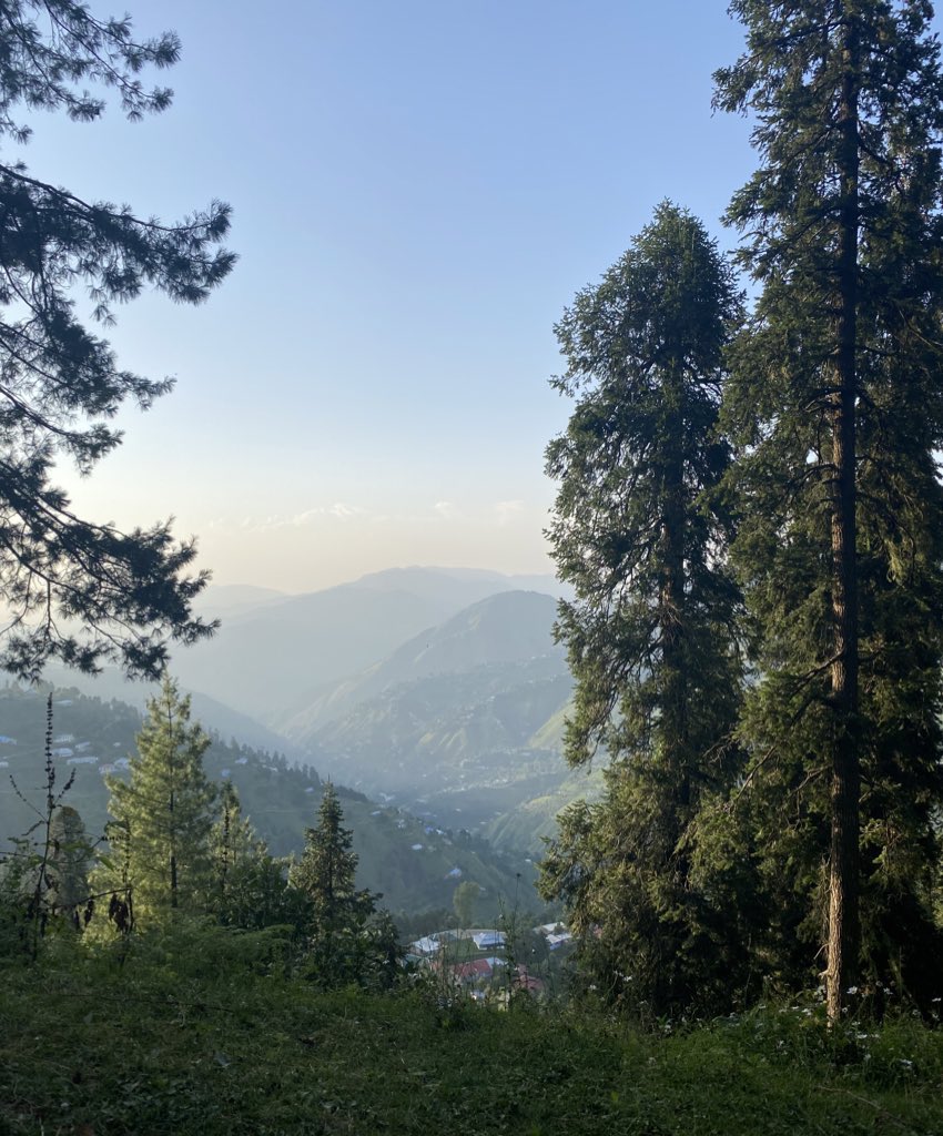
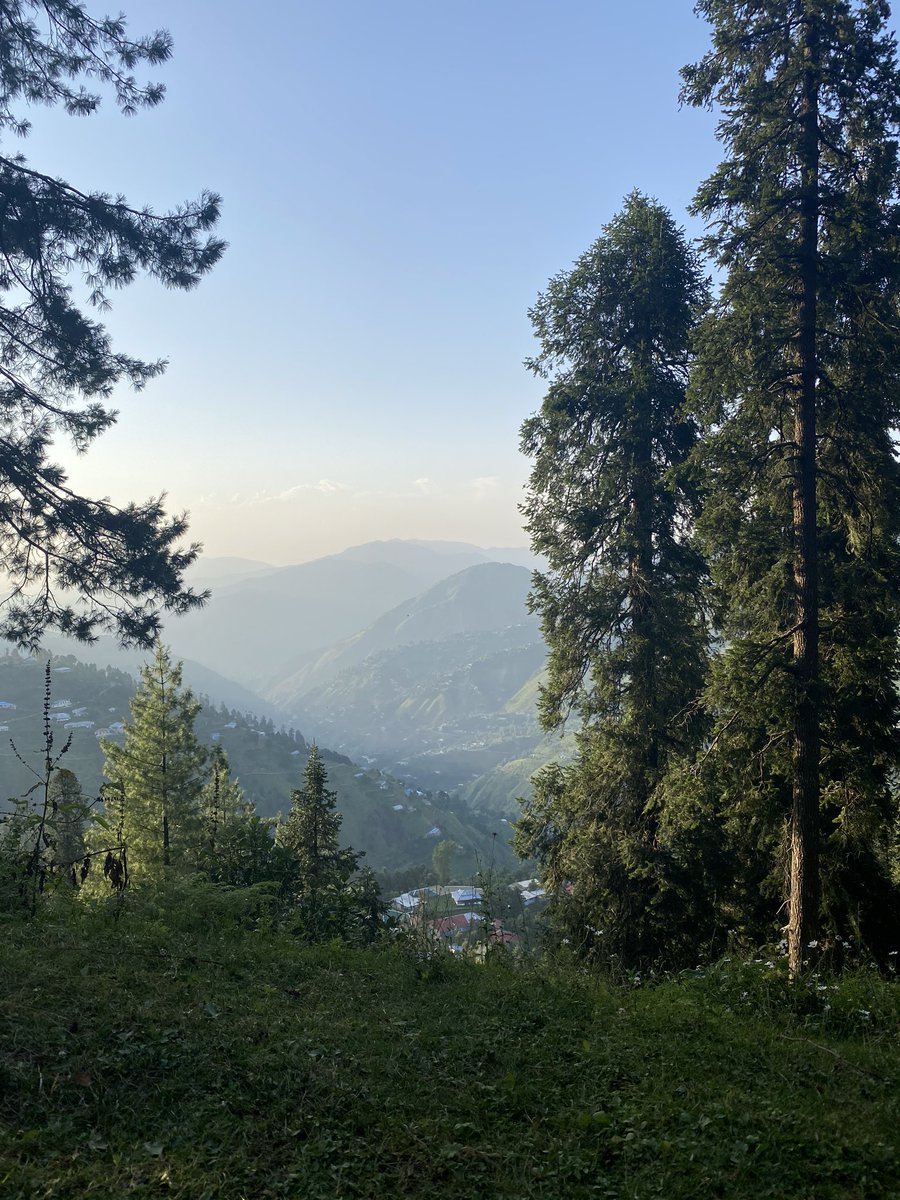
Back in Nathiagali I ventured to the same spot that I had discovered close to where I was staying - for some great sunset views
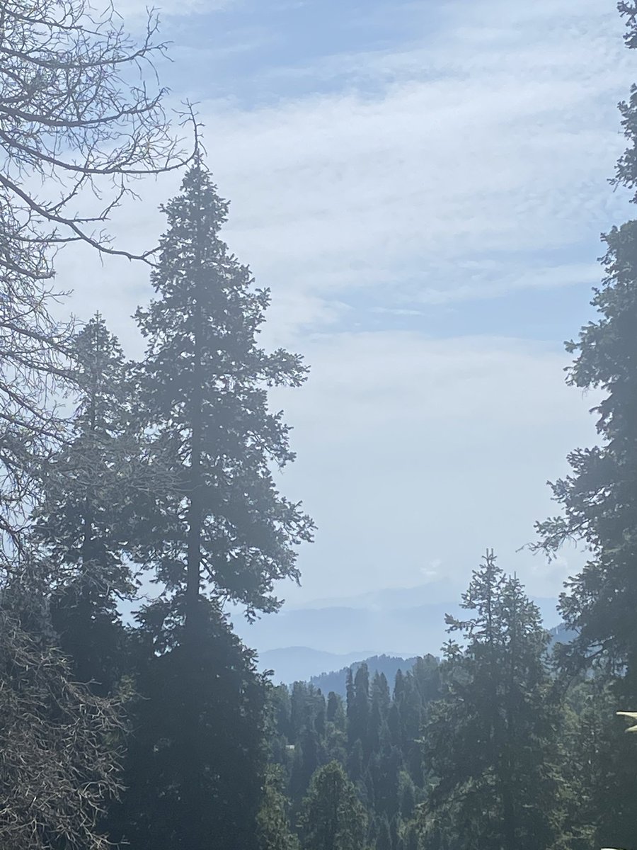
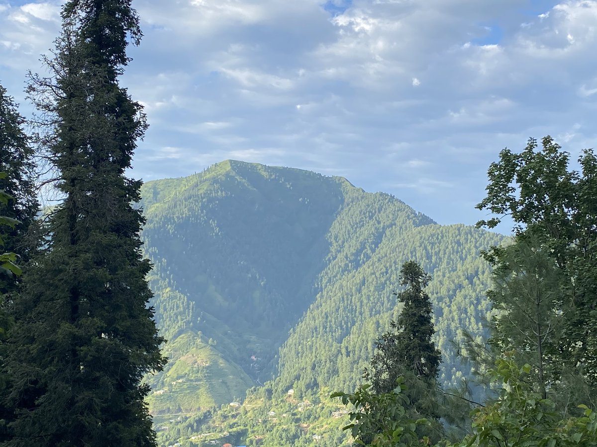
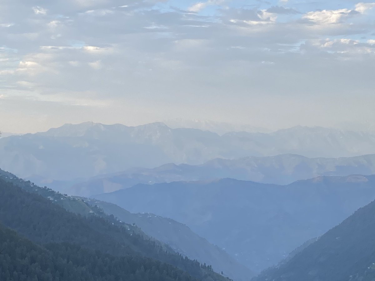
Next day went for a walk - with views of the local high peak Miranjani (9,800 feet) - a spot in Nathiagali by the church allows uninterrupted views of snowclad peaks - the snowy peaks in the far distance are Neelam Valley AJK (left) and Indian Occupied Kashmir (Gulmarg) (right)
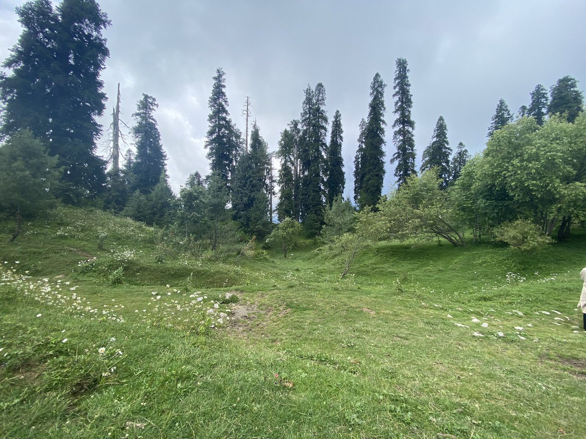
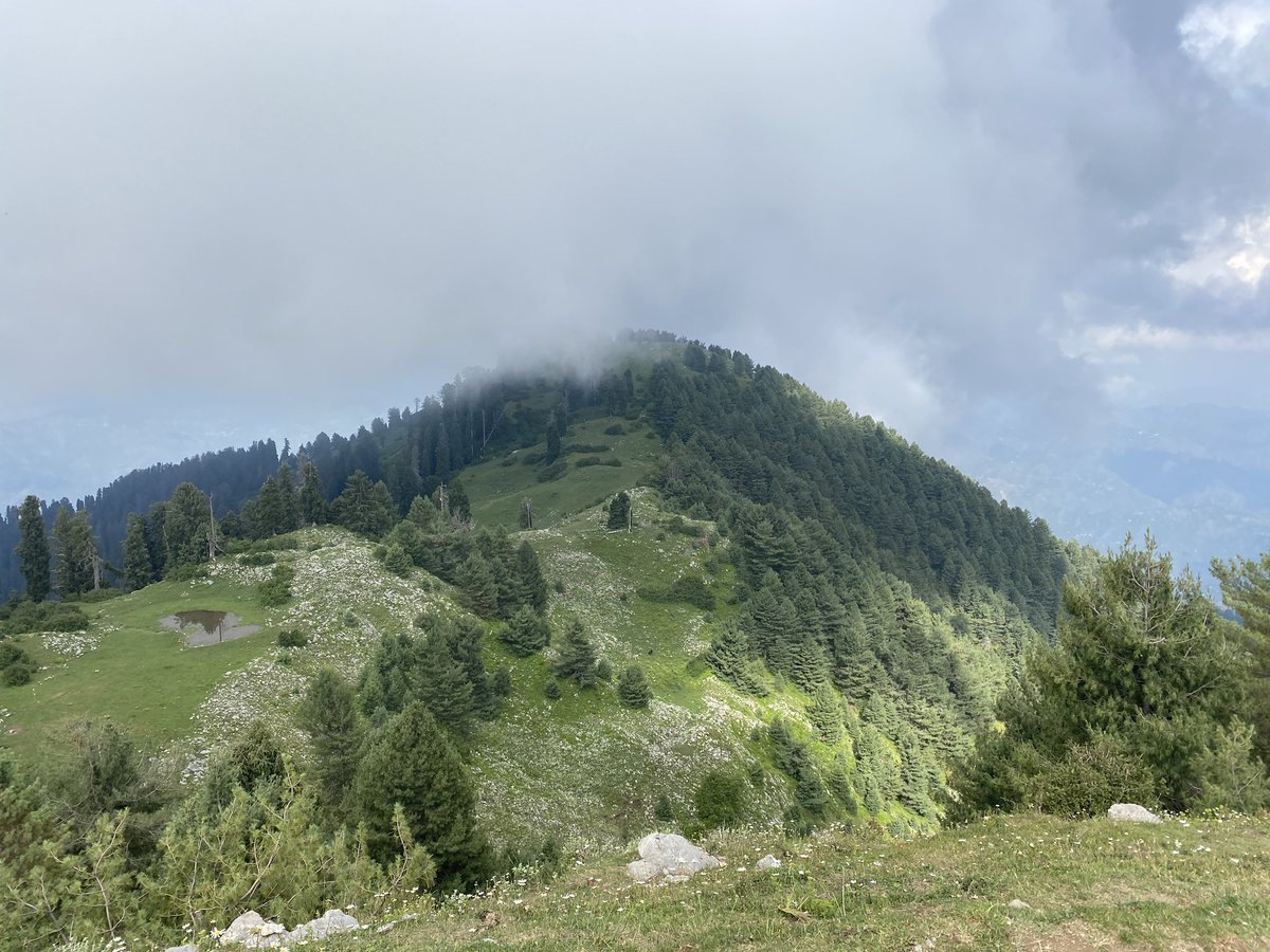
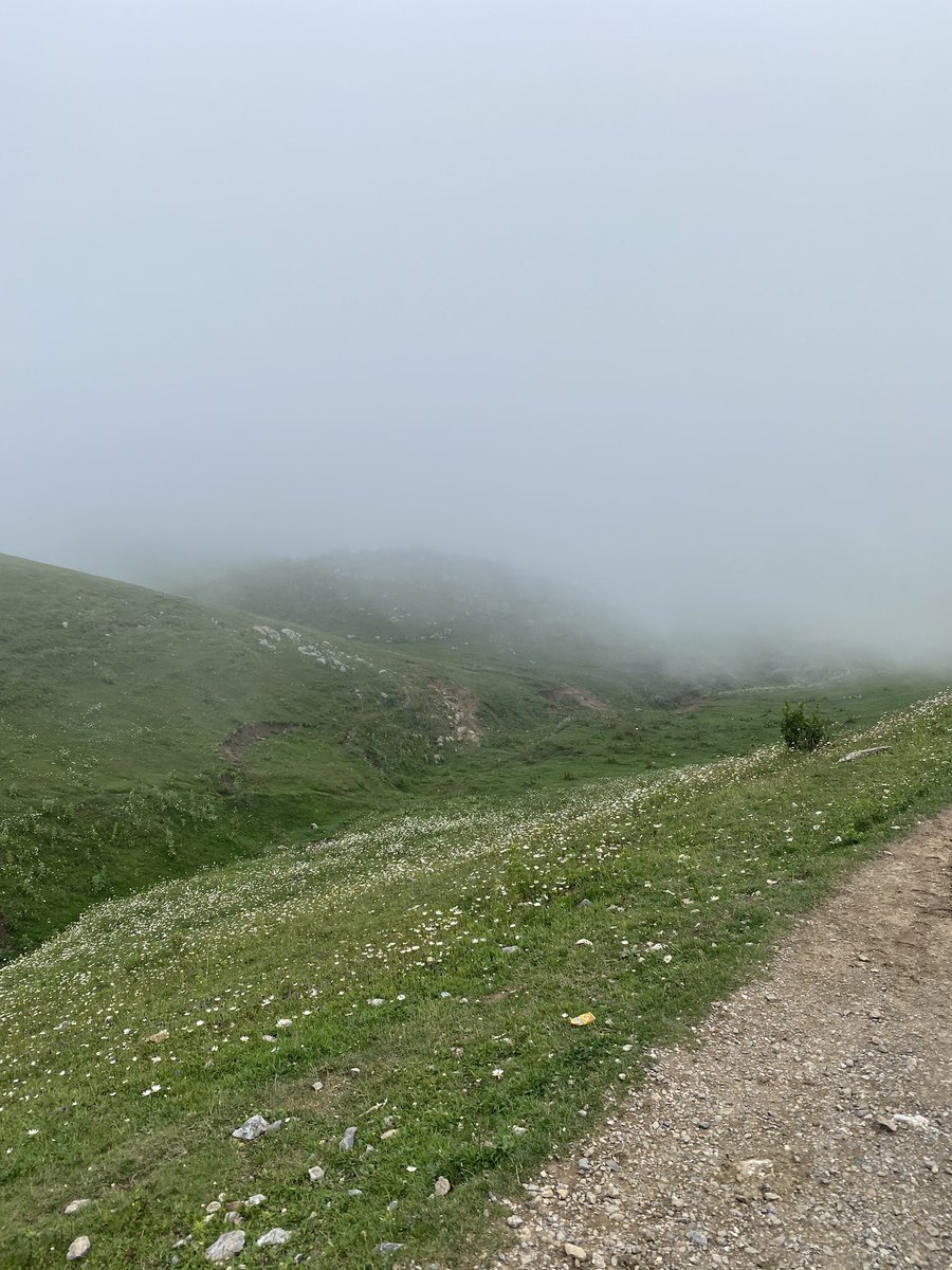
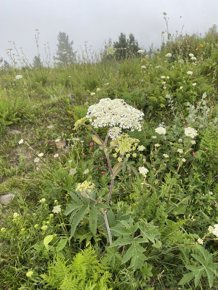
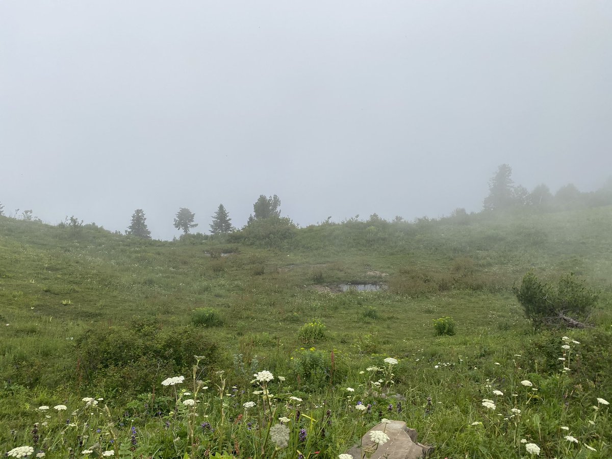
Climbed Mushkpuri Peak (9,210 feet) - path starts either in Nathiagali near Pines Hotel or from Dungagali Bazar - the hike takes 1.5-2 hours and passes through meadows & dense forest - this is the second highest peak in the area
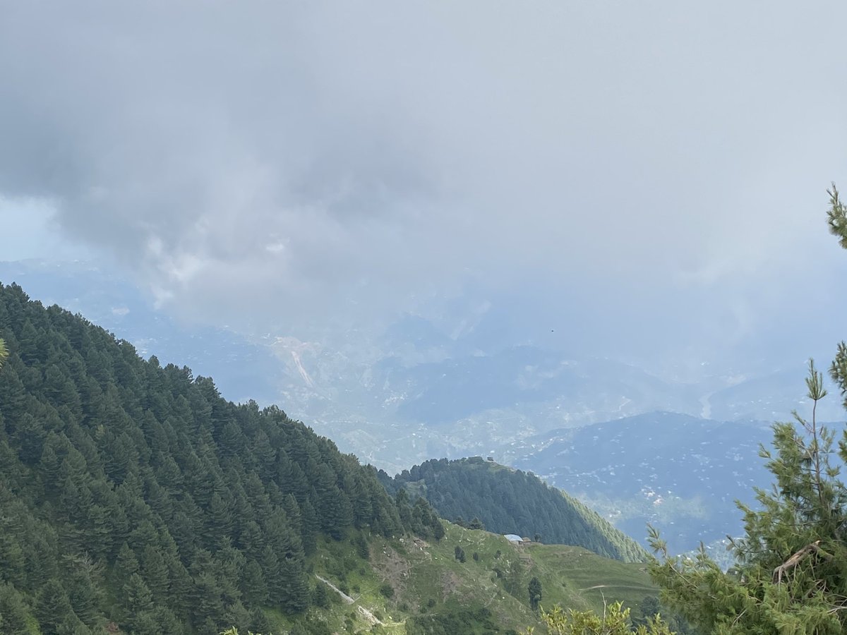
The views from the top of Mushkpuri Peak (9,210 feet) were fantastic - looking east you could see the Jhelum River winding its way from Indian Occupied Kashmir - on left are the mountains of Neelam and Leepa Valleys of AJK & Indian Occupied Kashmir is on right
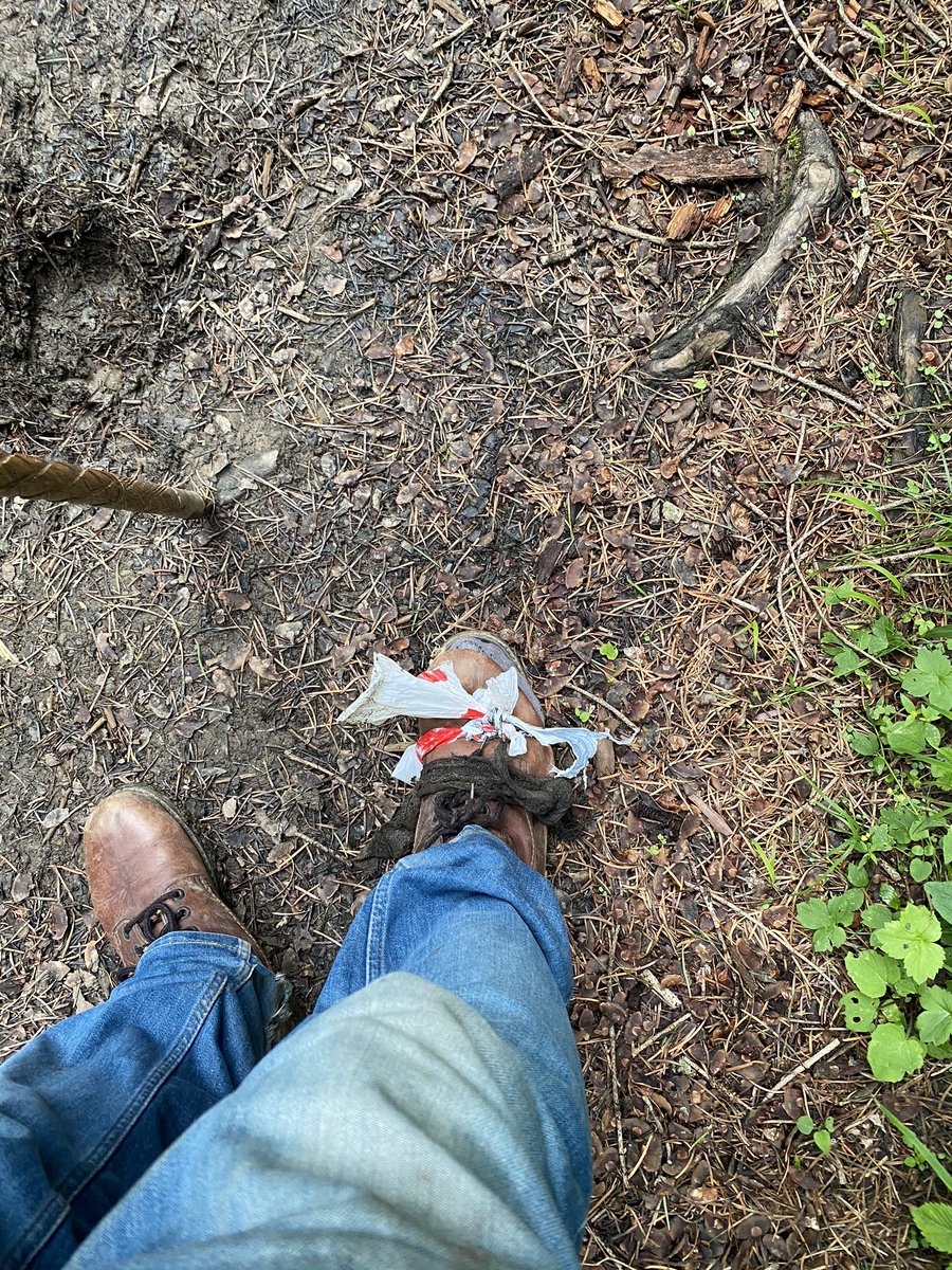
On the way down from Muskpuri my hiking boot literally split into two and had to be died with a shopping bag and a piece of cloth - managed to make the hike down around 1,500 feet in one piece - the day ended with a brilliant starry night
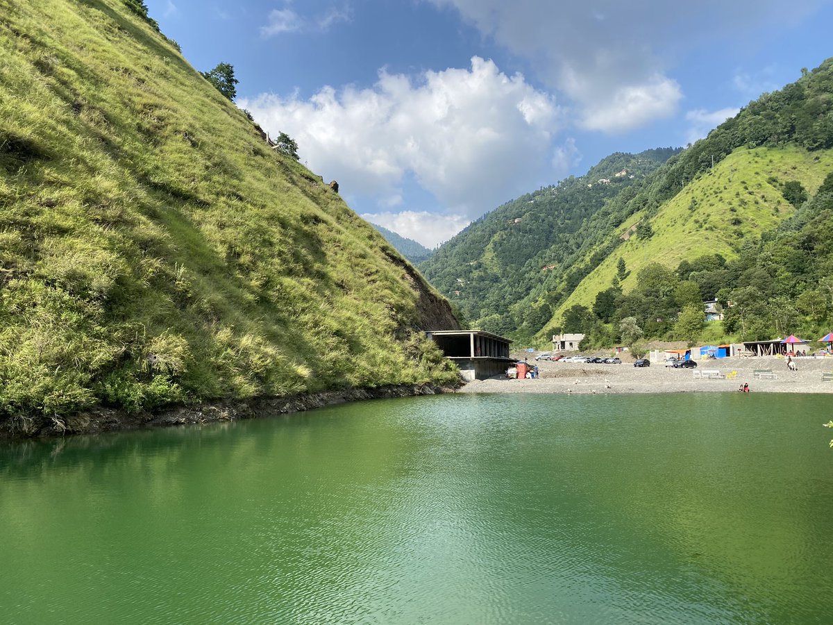
This was followed by a short trip to Katha Samundar - a manmade lake near a village in a valley some 10-15 kms from Nathiagali - the lake itself had plaster wrappers on its edges. It the views around more than made up for that ugly sight. A short walk leads to a nearby village
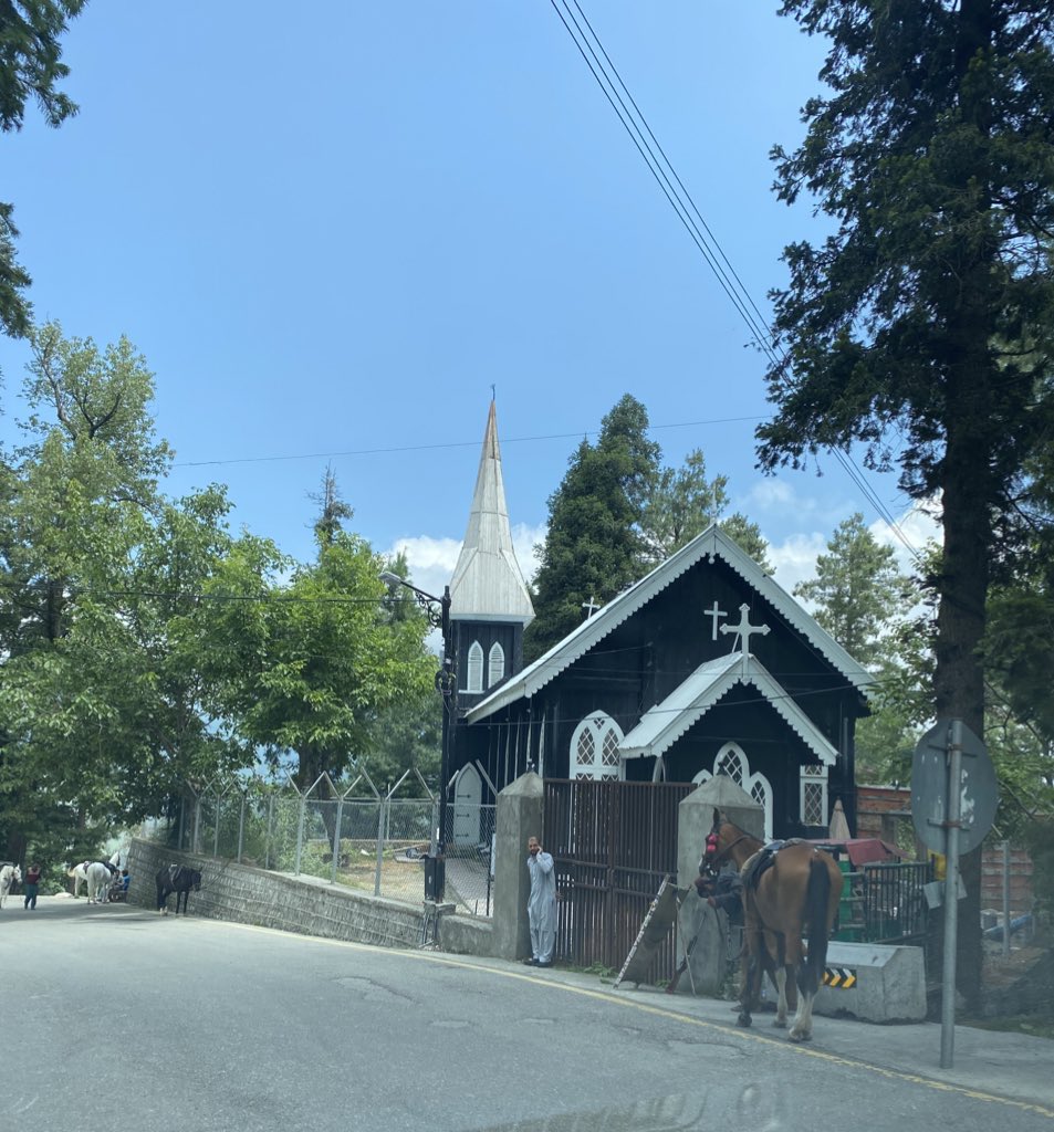
A visit to Nathiagali won’t be complete visiting St Matthews Church right in its centre - made of wood, it dates back over a century
9,800 feet high Miranjani is the highest peak in Galyat and overlooks Nathiagali - a reasonably fit person can hike to its summit in 2-3 hours - the trail starts from below Governor’s House where one can drive up to - fantastic walk in dense forest - can be steep at times
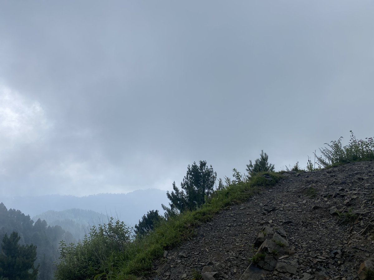
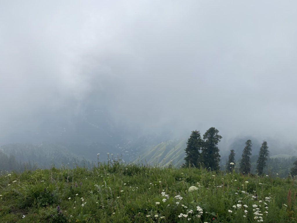
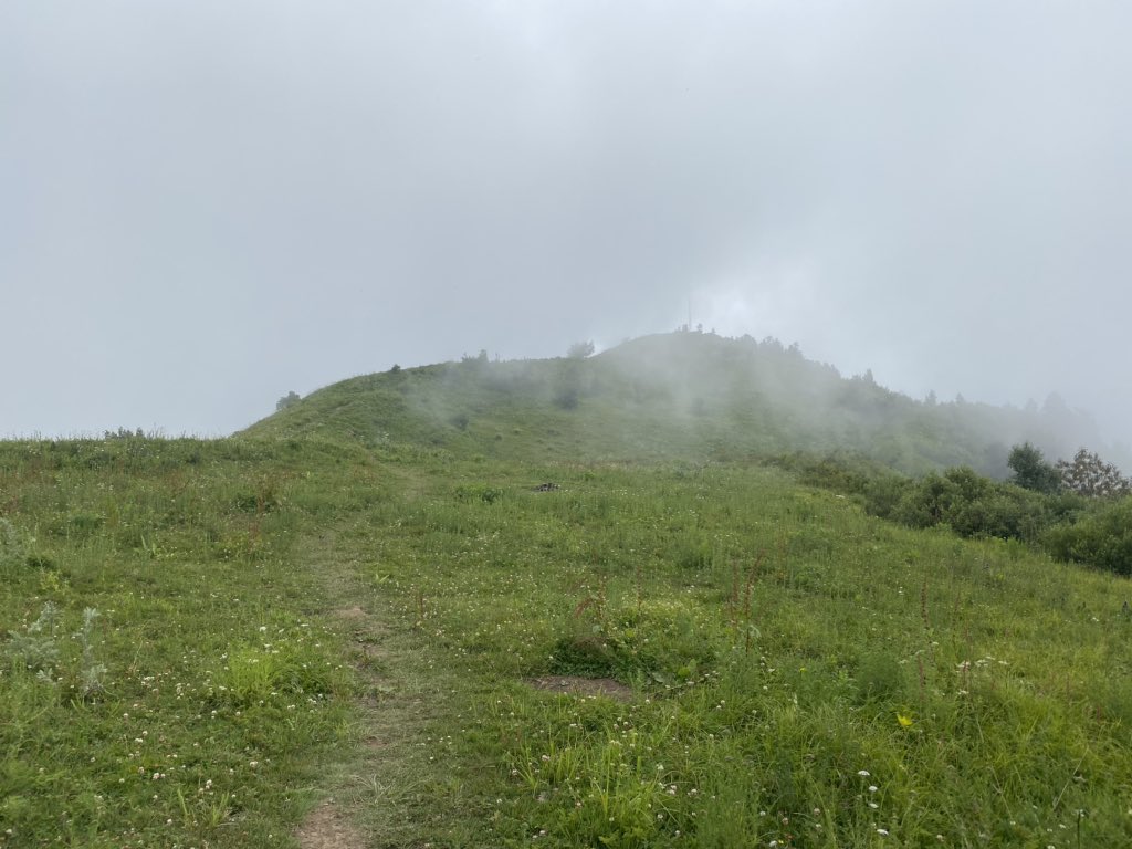
The views from the top of Miranjani are brilliant - if the skies are clear - looking north you can see the majestic Nanga Parbat on a clear day - unfortunately we were above the clouds when we reached the peak
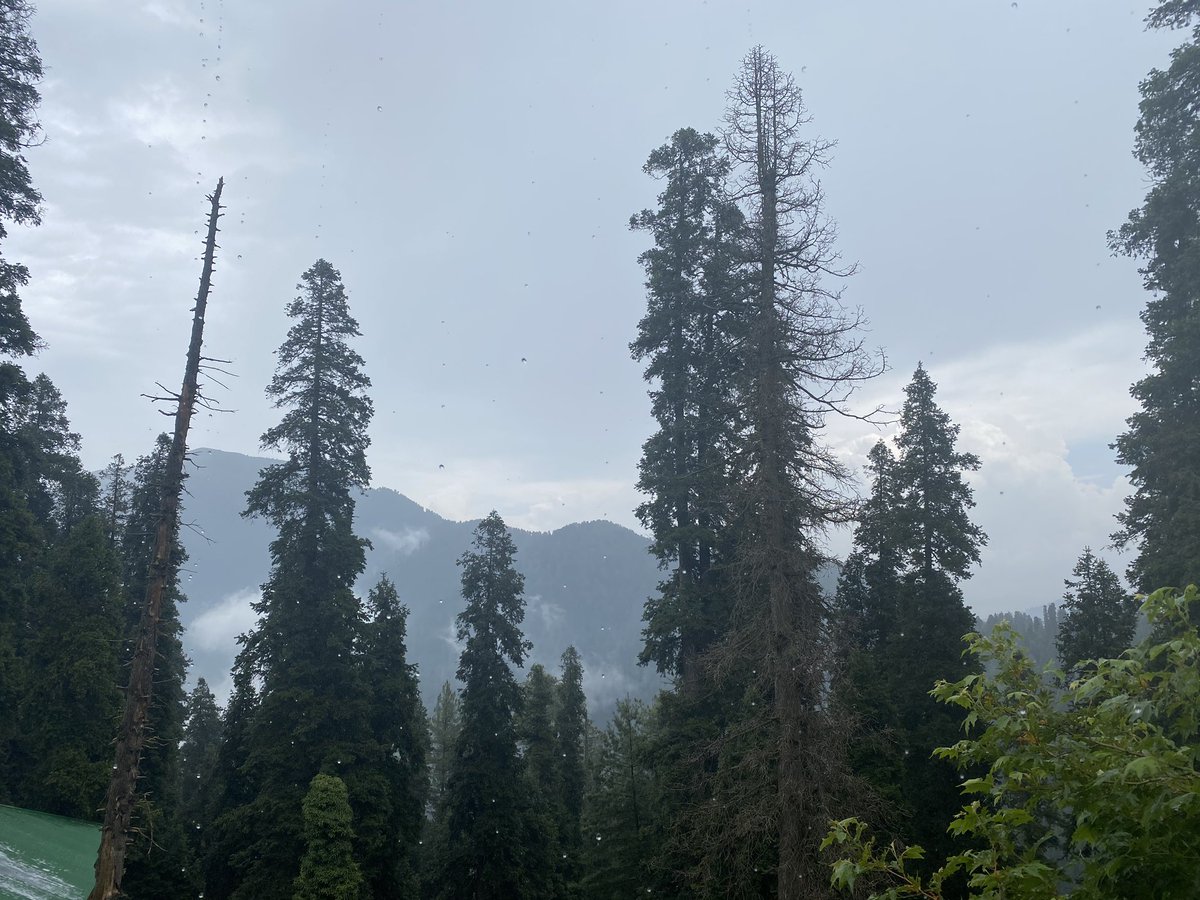
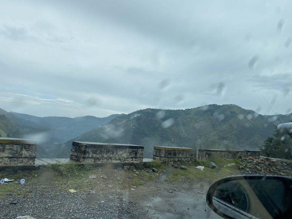
Left a cold and rainy Nathiagali - temperature 11 degrees - and headed back to Multan - took around 8 hours of driving time
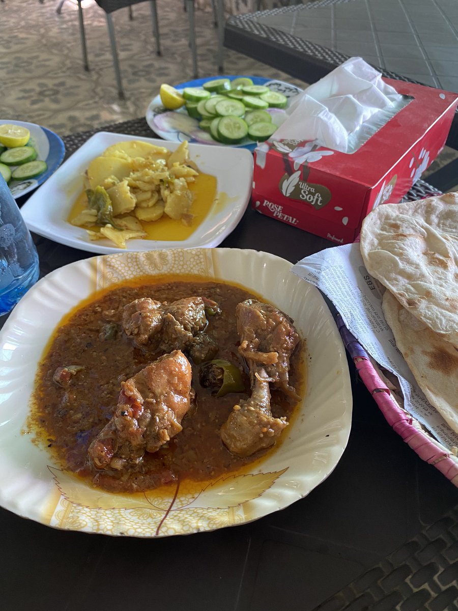
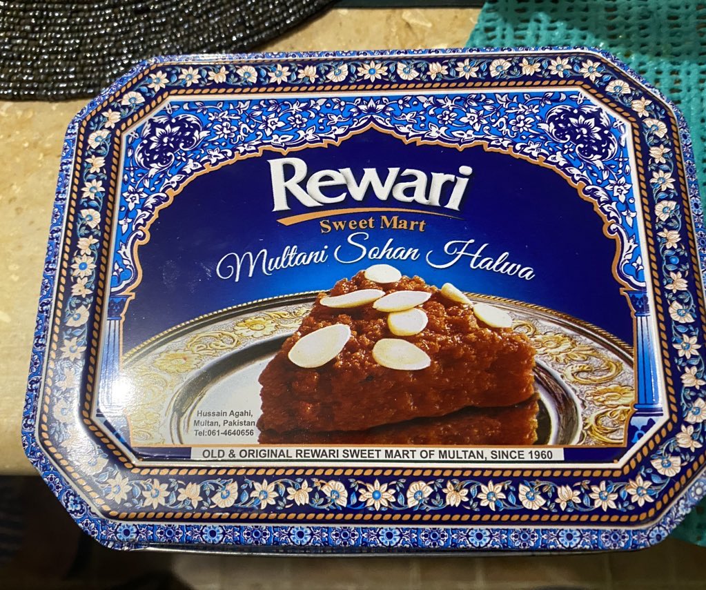
In Multan for a night, ate some delicious chicken handi, bought some Multani halwa and a friend gifted a yes set of featuring the exquisite designs and colours Multan is known for
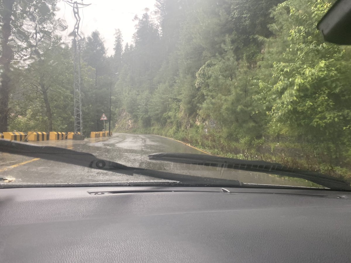
Left Multan for Karachi and made it in around 10 hours - encountered very heavy rain in upper Sindh - could hardly see the road - and took the Indus Highway to Jamshoro and then to Karachi - paid Rs 750 for a speeding ticket on the Indus Highway - took Lyari Expressway home
So that’s a round trip of around 3,200 kilometres - kind of half way to London if you look at it - clearly Pakistan has a lot to offer to even those (myself included) who will otherwise easily take road trips in Europe or the US but hesitate to do that in their own country

 Read on Twitter