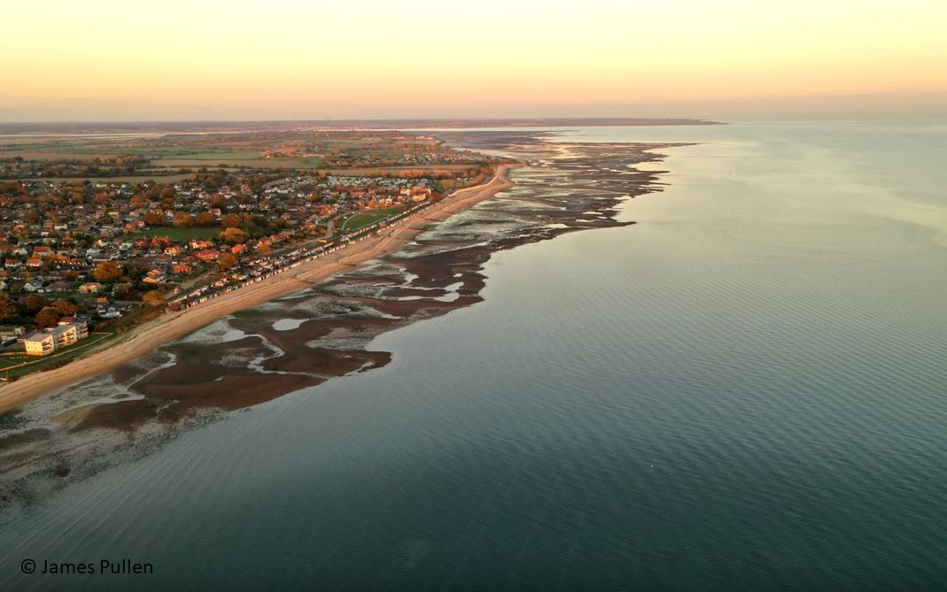
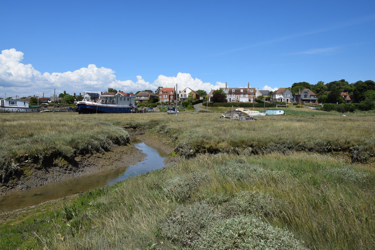
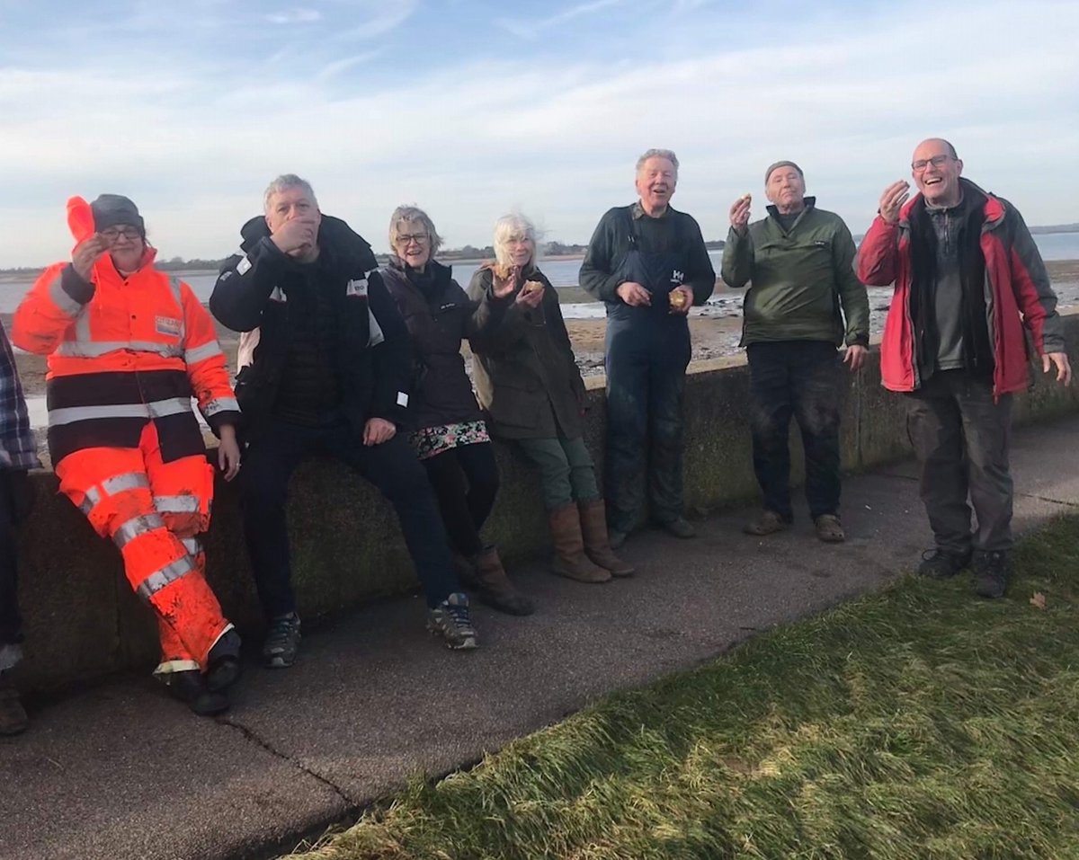
Welcome to today's virtual #LowTideTrail. Mersea Island sits just off the coast of Essex, at the mouth of the Colne and Blackwater Estuaries near Colchester. Mersea has been inhabited since pre-Roman times & derives its name from the Old English meresig, or ‘island in the marsh’.
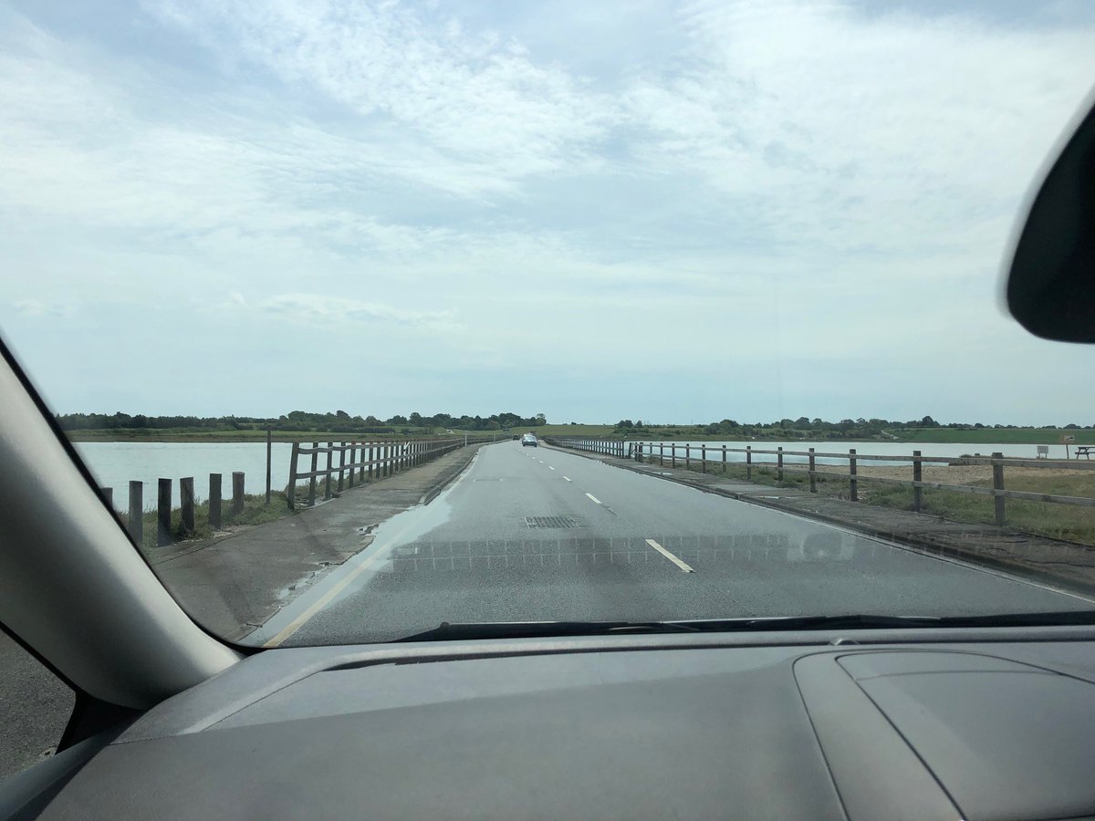
Mersea is connected to the mainland by the Strood, an intertidal causeway that can flood at high tide, originally built around 684 CE by the Saxons. Most of the coast consist of mudflats and saltmarshes, giving the island it’s trademark vistas and supporting many wading birds.
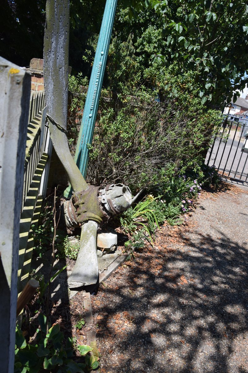
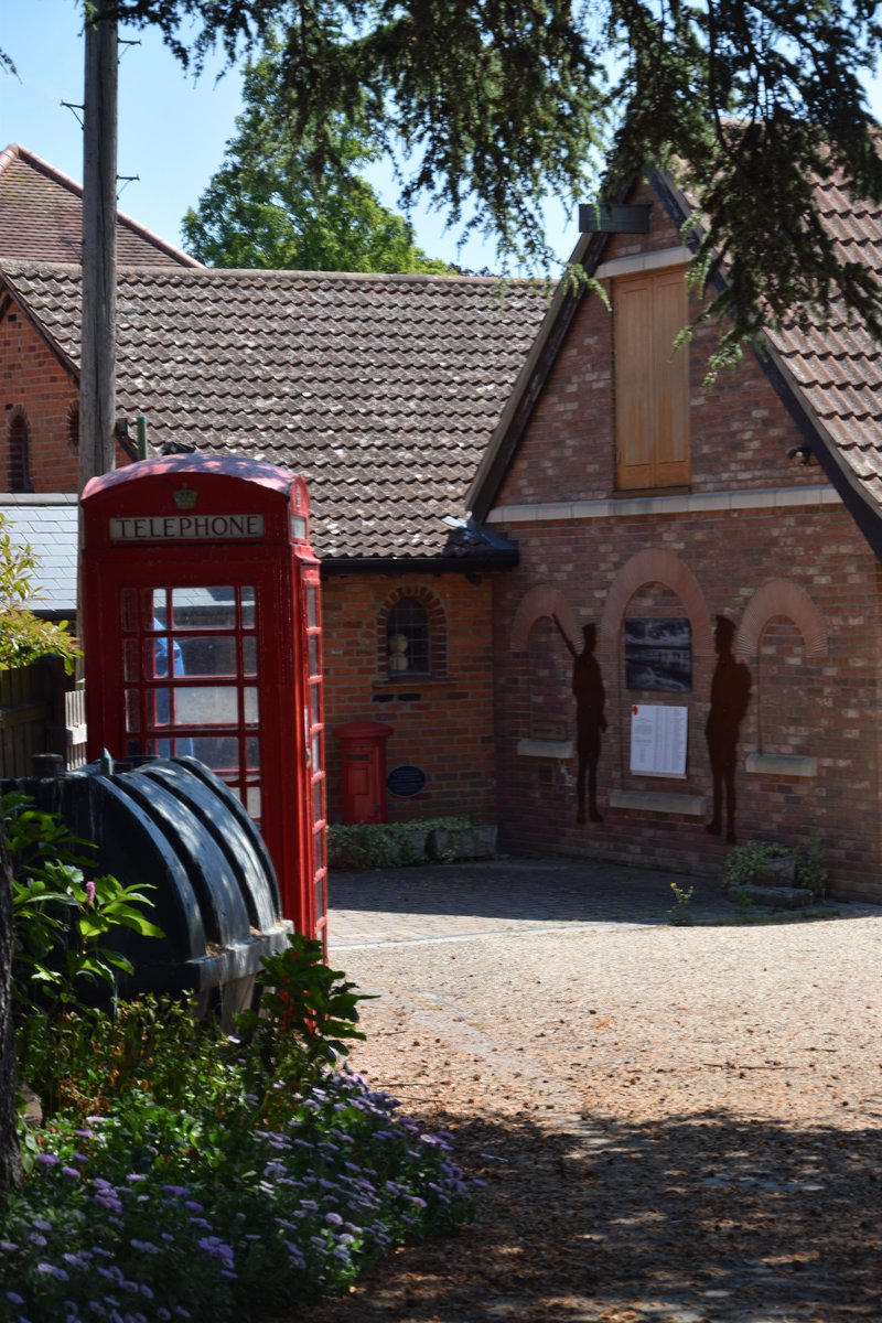
We begin at Mersea Museum, looking at locally dredged objects outside the building. Various large twisted propellers are all that can be found of the numerous damaged WW2 aircraft which tried to reach nearby RAF Bradwell Bay and sadly didn’t make it.
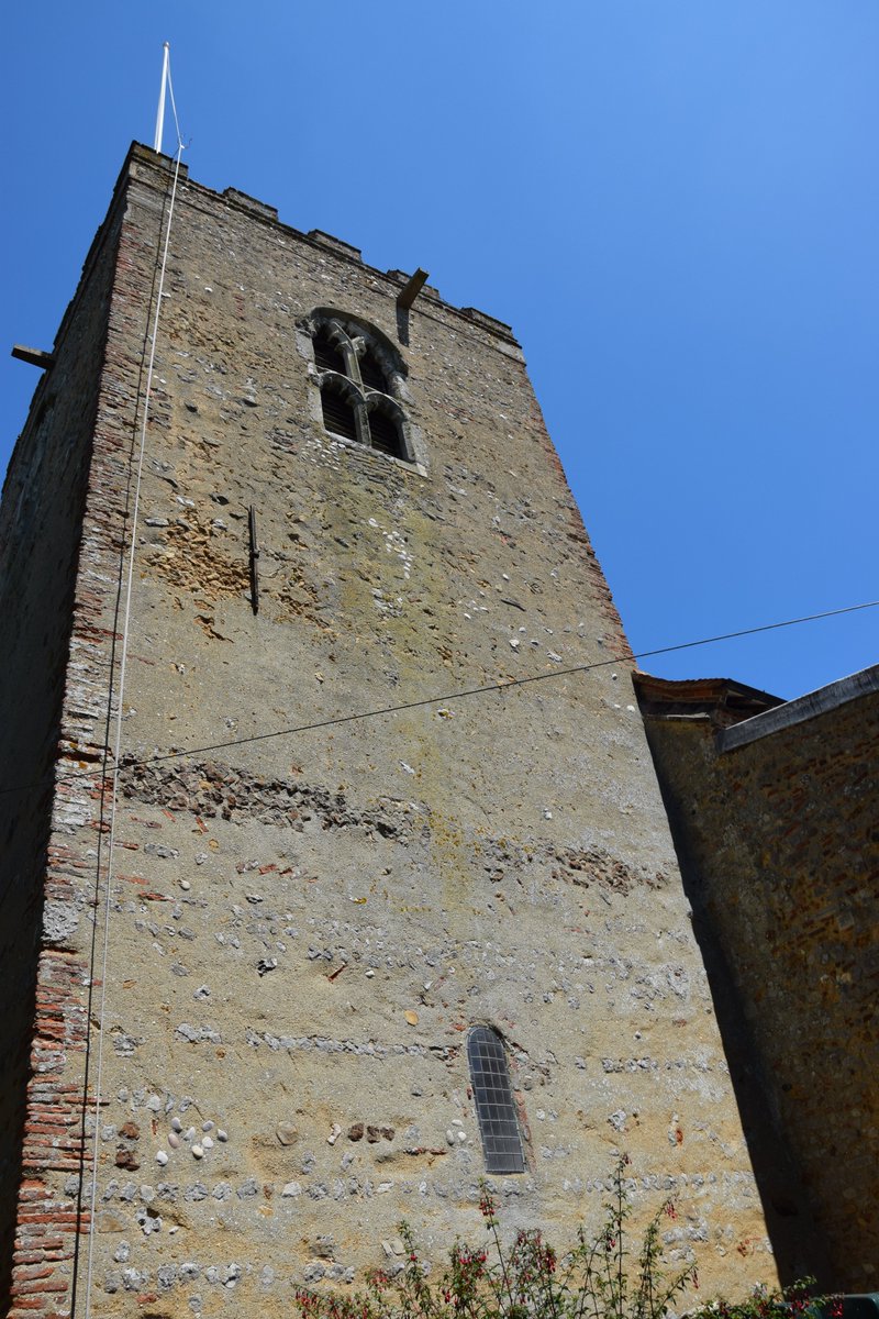
Likely founded in the C7th/8th , St Peters’ & St Pauls’ church would have served as a place of worship & a navigational aid. The existing tower dates to the C10th and served a defensive role as Viking raids on Saxon coastal settlements are known to have taken place. #merseaisland
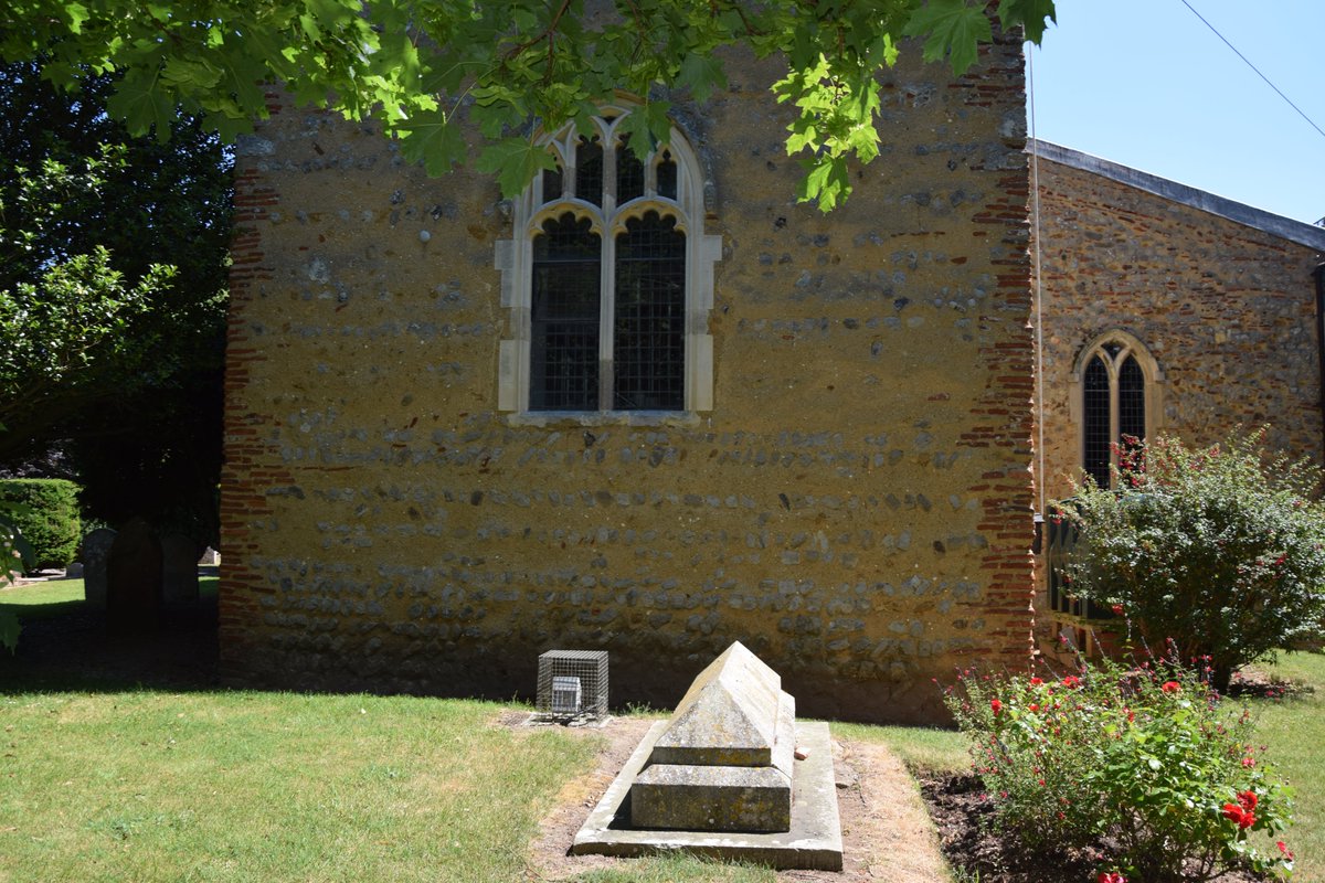
On the SE side of the church you will see an arched window a few metres above the ground. Believe it or not this actually a door! By providing access using a ladder, the occupants could withdraw it inside quickly making them difficult to reach.
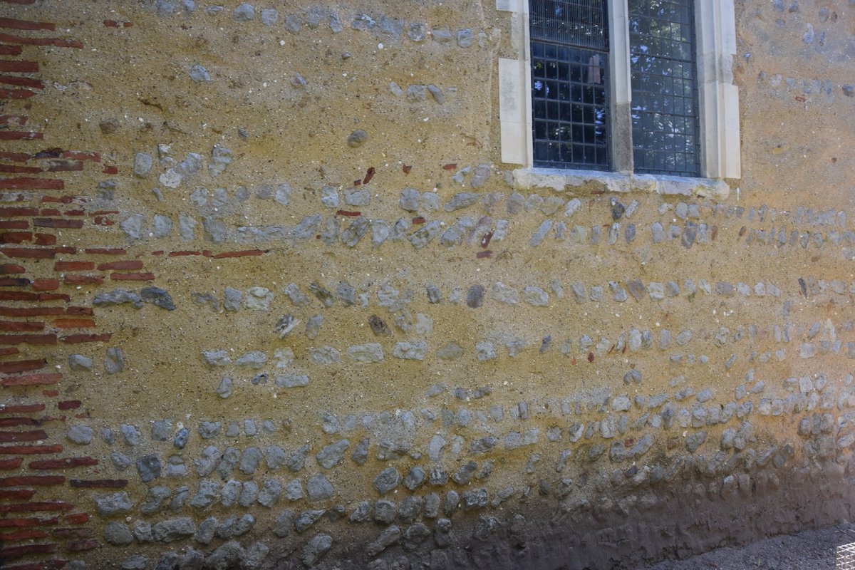
The red floor tiles in the brickwork are in fact earlier still and were recycled by Saxon builders from nearby ruined Roman structures, possibly even a villa. Some evidence of these buildings can still be found in local gardens.
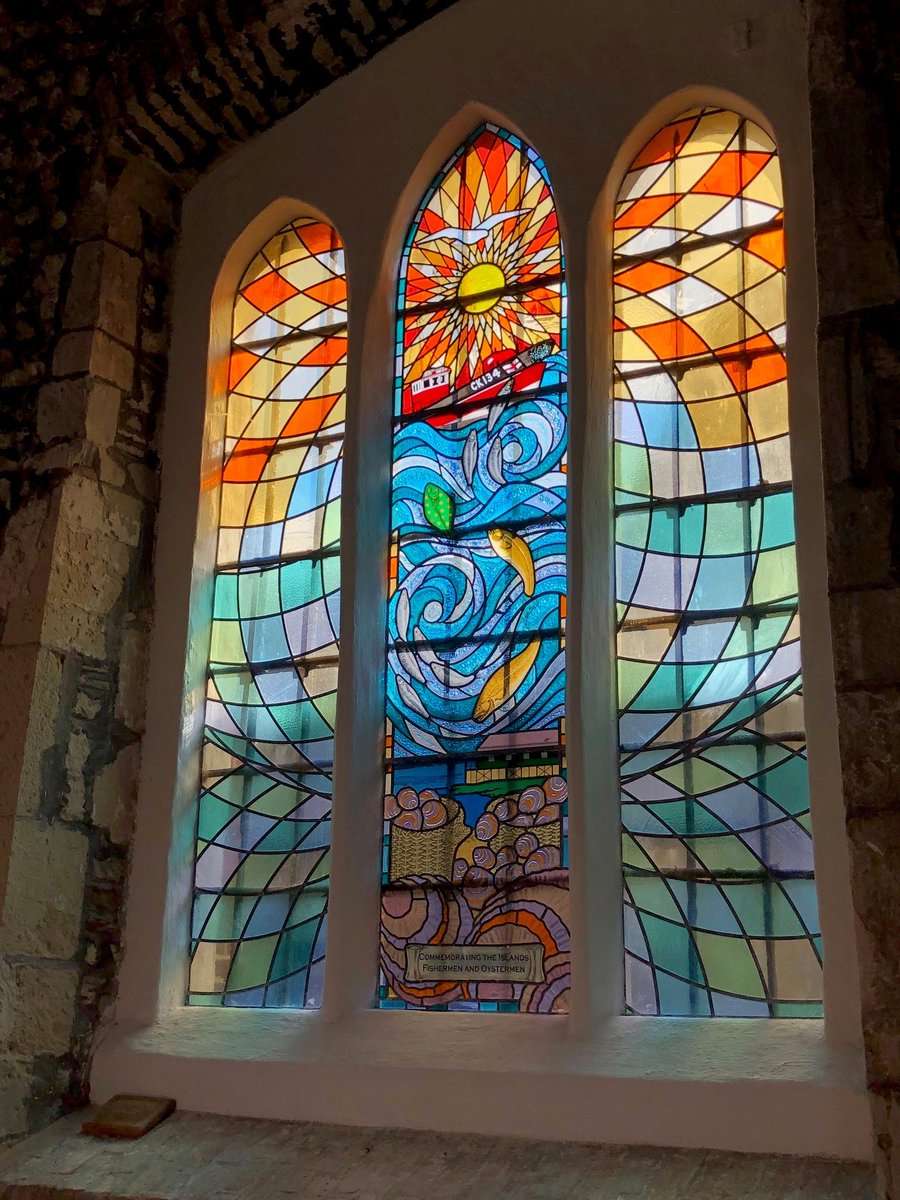
In August 2005 a new memorial window was installed in the south aisle in August 2005. This is to commemorate the Fishermen and Oystermen of Mersea Island and is another indication of the importance of these jobs to the island’s economy and identity. #seaside #Archaeology
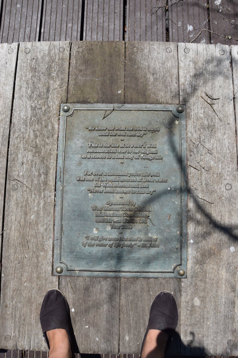
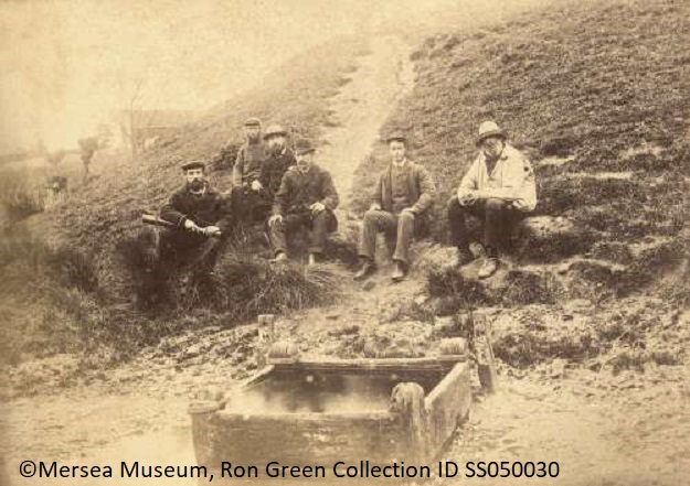
St. Peters Well was the main source of water for Mersea until 1925, when mains water was installed. After the 1884 Peldon earthquake, a large crack appeared in the earthworks behind the well and the water came out warm and foamy for a day.
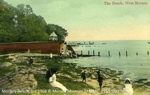
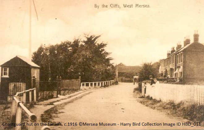
Finally, we have reached Monkey Beach. A local legend suggests it is named after unpopularity of the guards manning the semaphore & customs station nearby. Usually non-locals, they were a hindrance to local smuggling activities and mockingly nicknamed monkeys. #merseaisland
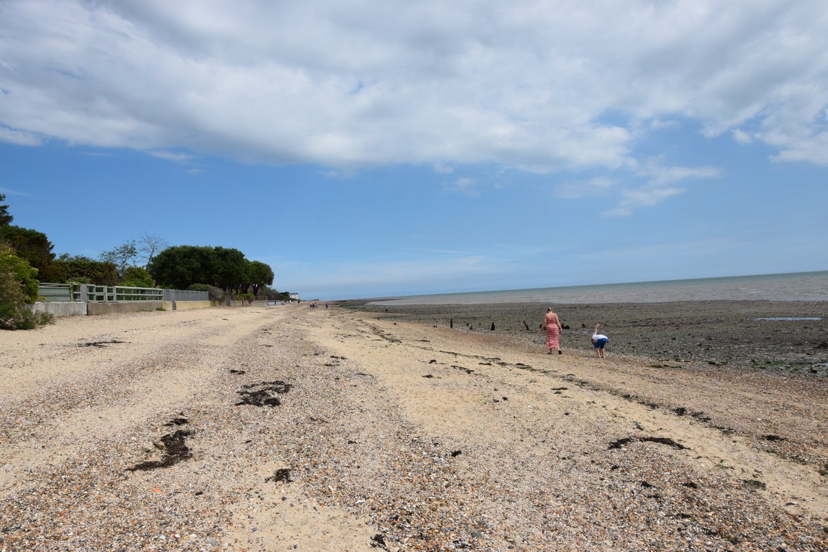
Monkey Beach is a key site for CITiZAN monitoring coastal erosion on Mersea. The shoreline here can move up to a metre inland in heavy weather as the shingle is swept away from the beach. #archaeology #coastalchange #heritage
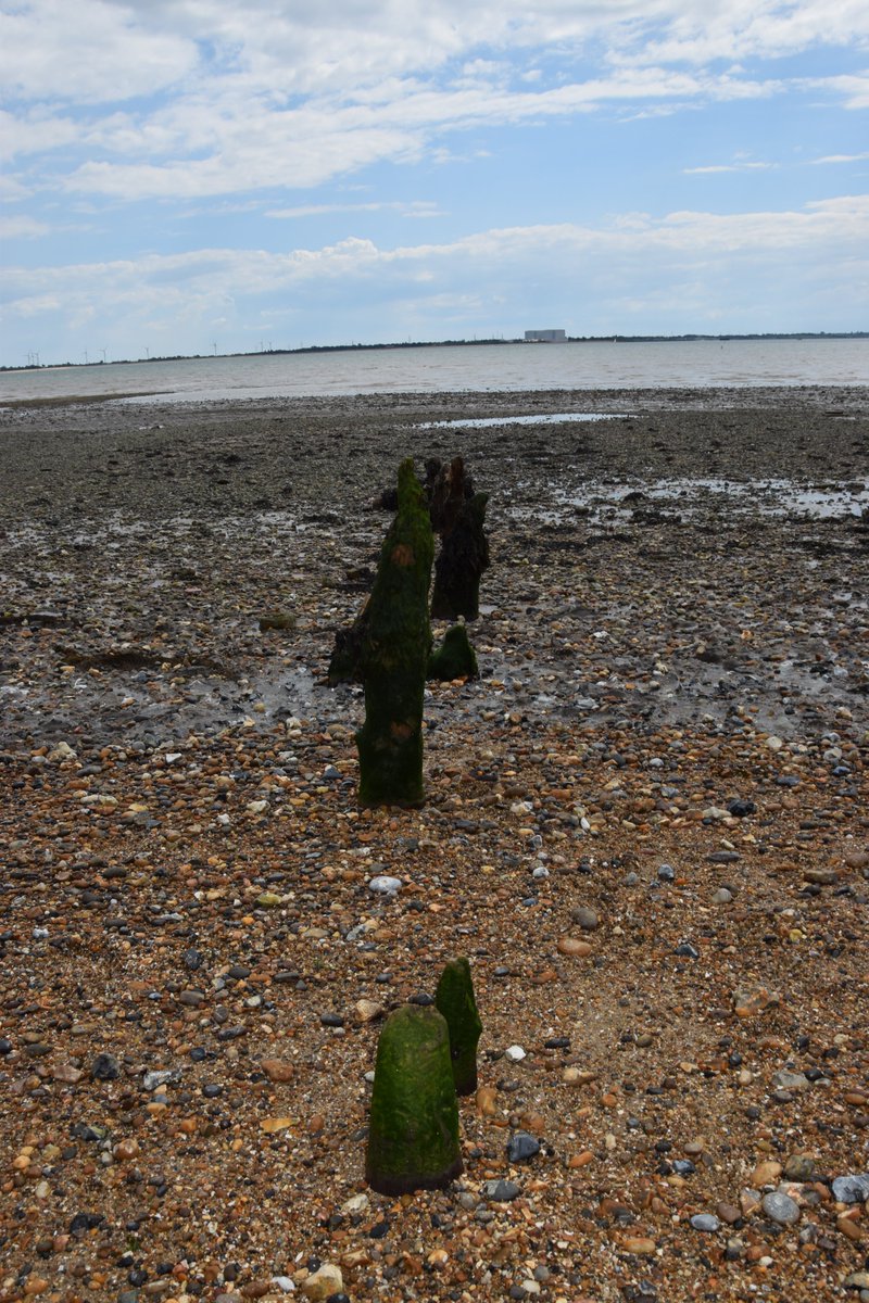
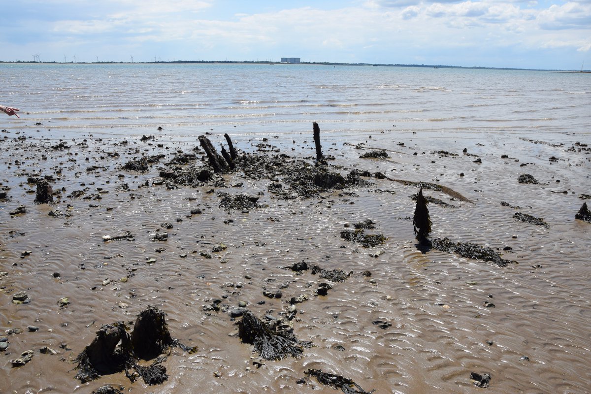
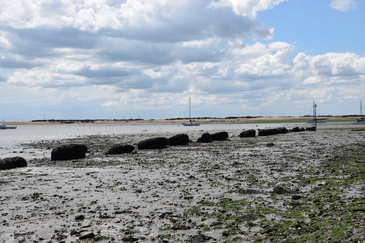
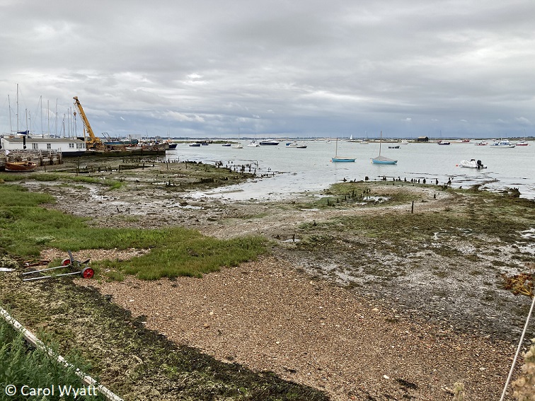
On this particular foreshore many timber stakes can be seen protruding from the mud. Many of those nearest to the beach are the remains of Victorian revetments & groynes, which were used as defences against the sea, or to the left King’s Hard where boats could come in. #seaside
One special set may be the remains of a Roman jetty, situated in a former creek and running through what was then dry marshland. A great deal of Roman pottery has washed out of the mud here, from the more domestic grey & black-burnished wares to imported Samian ware.
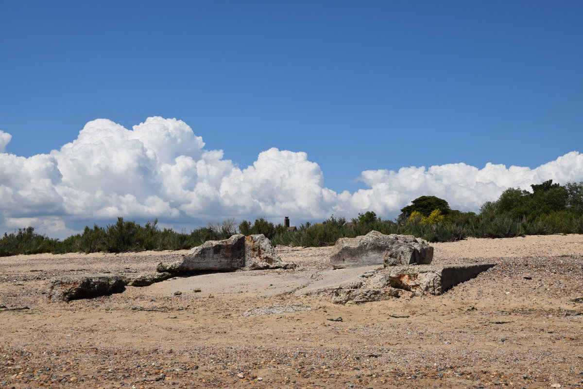
Walking westwards these foundations formed the base of a light infantry pillbox derived from a type known as FW3/24. It would have been strategically placed to provide fire over the mouth of the creek, possibly by Bren light-machine guns & been supported by other defences.
These concrete cubes are a rare type of anti-landing craft obstacle. If a seaborne German invasion took place at high-tide, these cubes would have been invisible. They were designed to rip into the hulls of such vessels on impact with the sharp metal protrusions.
This boardwalk passes over the remains of Hove Creek, which used to be wide enough for the unique to the area Oyster smack boats to sail up and turn around in. Check out this glorious video of them in action () during the annual Mersea Week regatta in 2010.
It is likely there have been houseboats at Hove Creek here since Victorian times. The most known is L’esperance (French for “hope”) built in 1891 & famously owned by the pianist Semprini in the 1960’s and 70’s. Here is our favourite video of him playing
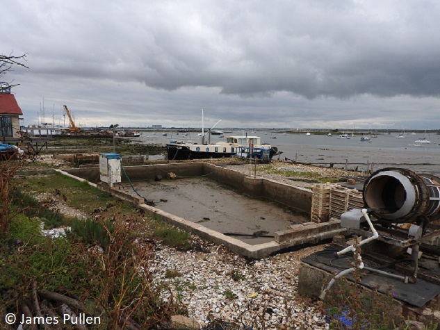
A short walk to 18th/19thC oyster pits. The oyster industry on the island goes back until at least Roman times and has been continuous. Oysters are purged & stored before being processed & arranged by size. Historically, they were transported in barrels & taken to London by sea.
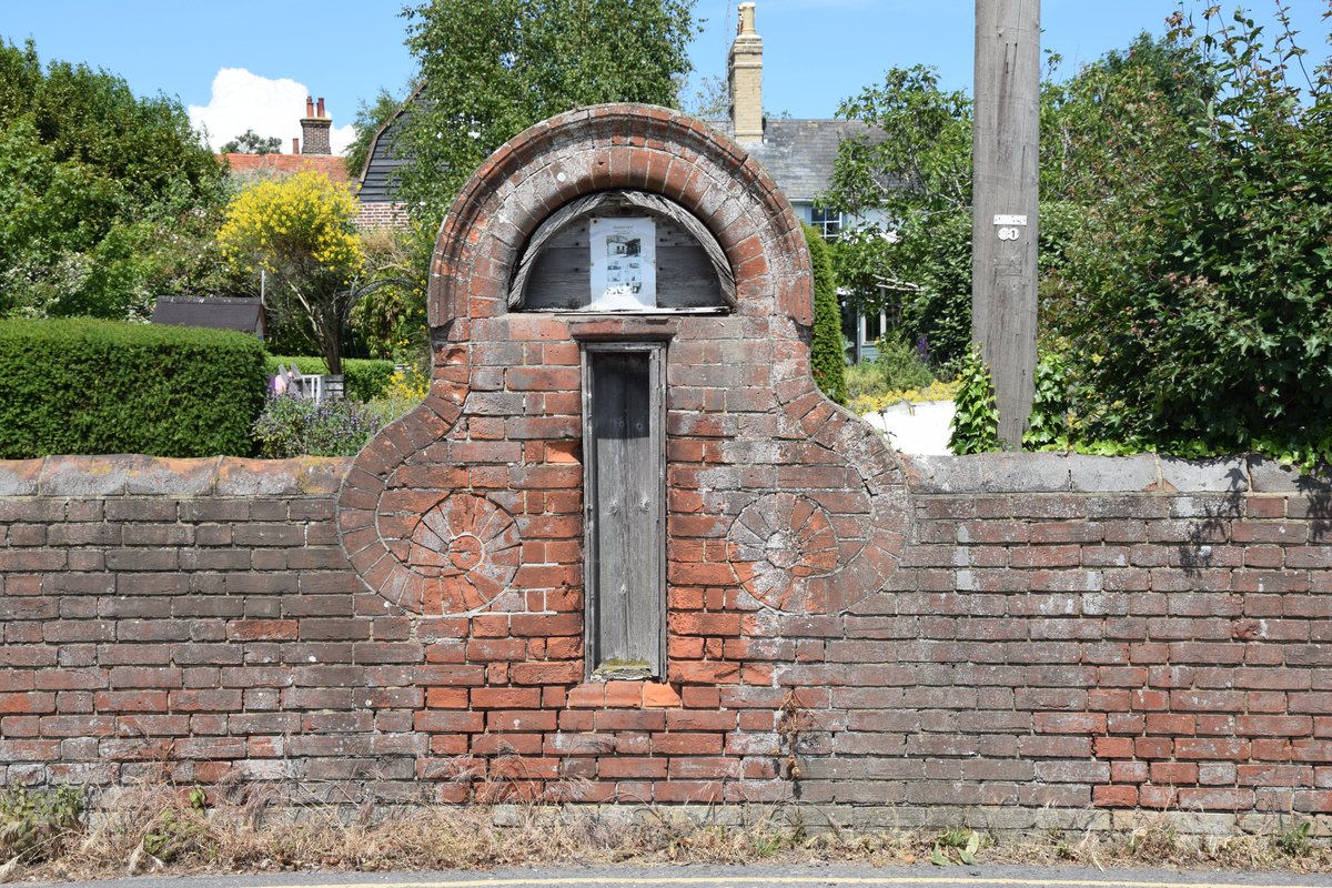
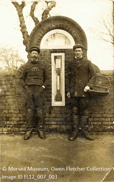
Coming up on your left is this intriguing looking artefact. What did it contain?A barometer, used by the local fishermen who’s cottages still stand on this site!Known as “The Square”, these cottages show both a classic design and the affluence that the fishermen historically had.
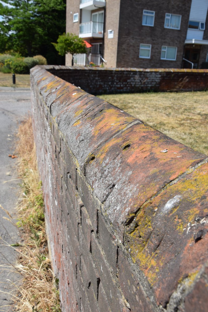
Look closely and you can see the grooves on the wall where fishermen used to sharpen their knives. These same fishermen would have had their boats in Hove Creek, making their work commute almost as easy as my pandemic one...two feet from my bed

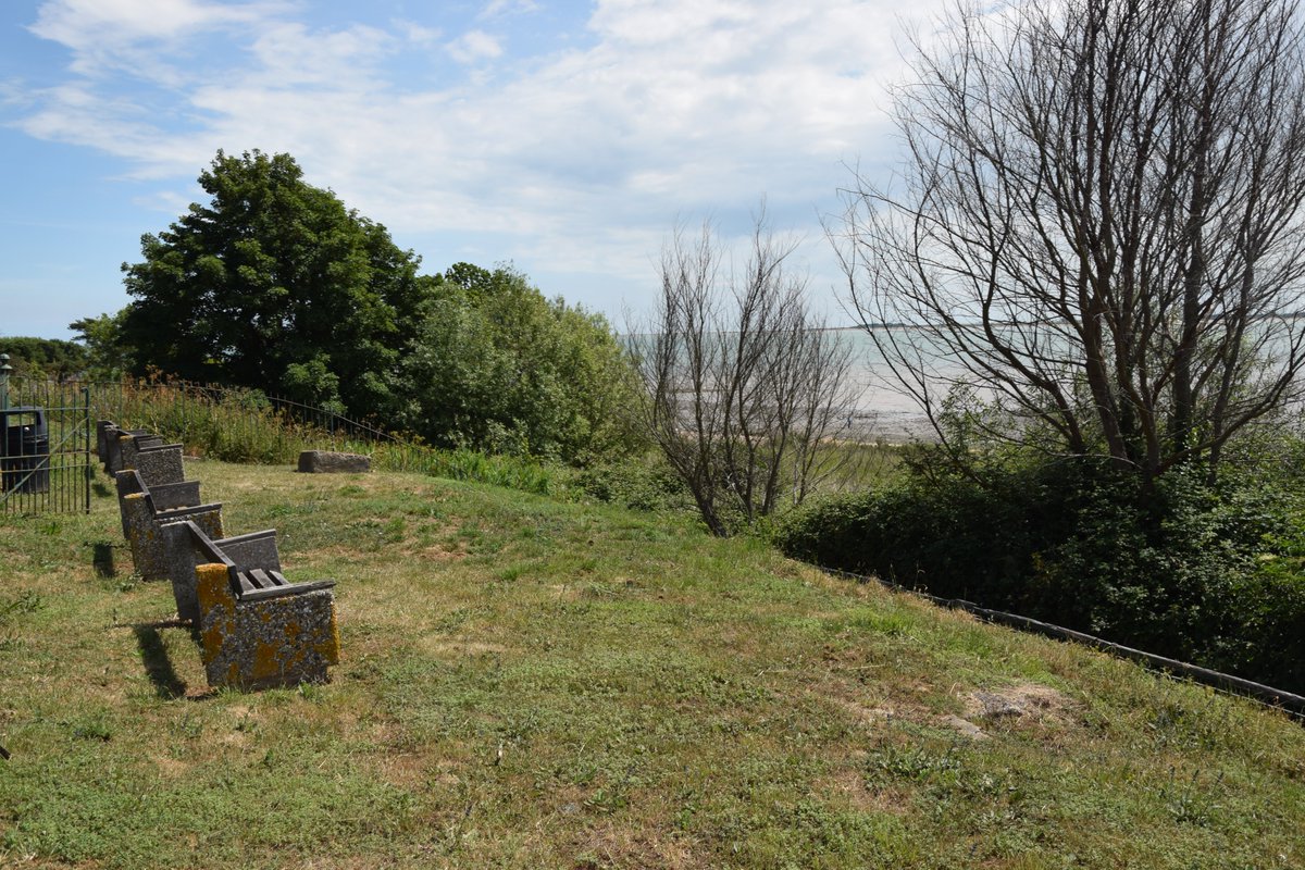
Rest your feet and enjoy the last remaining piece of the West Mersea coastguard hut. Built during the 17th century, it served initially as revenue protection against smuggling but transitioned into a naval reserve and life-saving role in the 19th century.
We will see you again soon for another virtual Low Tide Trail. In the meantime, you can find out more about the archaeology of Mersea on our Coastal Map- https://citizan.org.uk/interactive-coastal-map/#zoom=8&lat=6760752.53143&lon=105355.6763&layers=B00000TF

 Read on Twitter