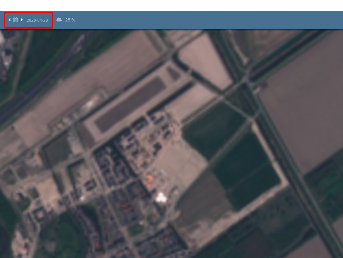
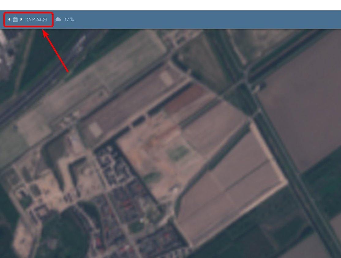
1/5: For years #OSINT peeps have looked at Google Earth Pro, and investigated with it. And for the same amount of time, people have used the slider bar to select specific dates, or used the date shown on the bottom of the screen (me included). But this is not the capture date! 

2/5: I noticed today how it wasn't possible to see a construction site on a plot of land only two months ago, while the houses are in use at this very moment. From an empty plot of land to a house in two months? Possible, but unlikely. And Sentinel Hub confirmed my suspicions.
3/5: The construction sites have been in that area for months already. And after some digging in the set of Sentinel-2 imagery (since I do believe that date to be much MORE precise!) I found a matching scene... The imagery was from...
April 21, 2019!
April 21, 2019!

4/5: The date shown, seems to be the copyright date. (Source: https://support.google.com/earth/thread/12661104?hl=en)
Usually this is the date that the imagery was uploaded and processed by Google. From experience I know that Streetview scenes work the same way, after calculating shadows for way too much!
Usually this is the date that the imagery was uploaded and processed by Google. From experience I know that Streetview scenes work the same way, after calculating shadows for way too much!
5/5: Historical imagery might have an actual capture date, but it doesn't have to be. Just keep in mind, that using Google Earth for verification or investigation might be okay, but only as long as #verification of the exact capture date is possible!

 Read on Twitter


