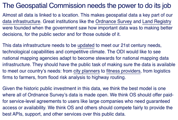
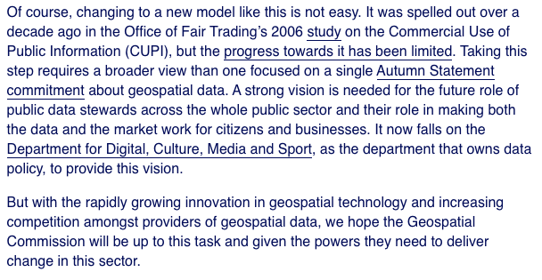
Today saw the release of the UK's #GeospatialStrategy – "Unlocking the power of location" – by the Geospatial Commission. THREAD. 1/19 https://www.gov.uk/government/publications/unlocking-the-power-of-locationthe-uks-geospatial-strategy
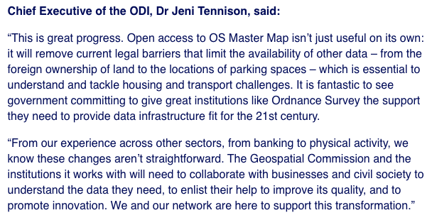
The Geospatial Commission was announced in November 2017 alongside a commitment to open up the UK's geospatial data infrastructure. At the time, we @ODIHQ noted that changing the UK's approach to maintaining geospatial data would be difficult. 2/19 https://theodi.org/article/autumn-budget-the-odi-welcomes-measures-to-open-up-land-data-citizens-companies-and-services-to-benefit/
We also noted that the Geospatial Commission's success would depend on its approach. Based on the criteria we laid out then, the signs have not been good. 3/19 https://theodi.org/article/what-will-the-uks-geospatial-commission-look-like/
While the Geospatial Commission was being set up in 2018, we started research to support the development of the geospatial strategy, shaped around the needs described by the community, around discovery, access, linkage, data quality, and licensing. 4/19 https://theodi.org/article/how-can-we-support-the-publication-and-use-of-more-open-geospatial-data/
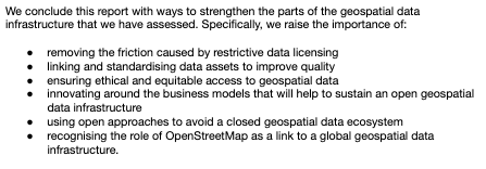
Our resulting report on opportunities and challenges for the UK's geospatial data infrastructure, in particular highlights global trends including the geospatial data held by the private sector and the amazing open resource that is OpenStreetMap. 5/19 https://theodi.org/project/rd-unlocking-the-potential-of-open-geospatial-data-and-technology-in-the-uk/
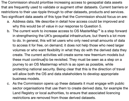
We also responded to the Geospatial Commission's call for evidence to shape the National Geospatial Strategy and highlighted the importance of enabling open access to the datasets people most need in the UK, such as address data. 6/19 https://theodi.org/article/geospatial-data-is-infrastructure-our-response-to-the-uks-national-geospatial-strategy/
When we welcomed the steps announced earlier this year to open up the use of key identifiers and clarify rules on derived data, we highlighted a number of points that we wanted to see in the geospatial strategy. How have they done against those? 7/19 https://theodi.org/article/the-public-sector-geospatial-agreement-theres-still-more-to-do-to-unlock-the-value-of-the-uks-geospatial-data/
We said we wanted to see a long term vision for Ordnance Survey, that helps them ensure that data is used as widely and well as possible. The strategy has no detailed vision for the geospatial data ecosystem or role of OS in the future. 8/19
We said we wanted clarity that the new ten year PSGA agreement does not preclude a continued move towards a more open future for both existing datasets and “new, richer data”. The strategy tries to redefine what open data means. 9/19 https://www.gov.uk/government/publications/unlocking-the-power-of-locationthe-uks-geospatial-strategy/unlocking-the-power-of-location-the-uks-geospatial-strategy-2020-to-2025
We said we wanted a commitment to ongoing evaluation and adjustment of the new OS APIs and policies. There is a general commitment to iteration and learning, but no commitment to a specific evaluation of the impact of new data releases. 10/19
We said we wanted to see at minimum a direction of travel around opening address data. Astonishingly, address data isn't even mentioned in the geospatial strategy. 11/13
We said we wanted to see support for businesses, particularly SMEs, to use geospatial data to help improve their performance and productivity. The strategy does talk about improving geospatial data skills and recognising these are needed outside the geospatial sector. 12/16
Based on our research, we said we wanted to see investment in local government to help them release geospatial datasets. There does not seem to be anything explicit about support for developing geospatial data skills or infrastructure at the local level. 13/19
On the positive side, it's good to see commitments to exploring increasing access to data from the private sector. In our research we highlighted the increasing role that the private sector plays in stewarding location data. Unlocking access to that data will be vital. 14/19
It's also good to see recognition of the importance of the ethics of the use of location data, though surprising that the Benchmark Initiative on this topic, from Omidyar Network and Ordnance Survey, isn't mentioned. 15/19 https://benchmarkinitiative.com/
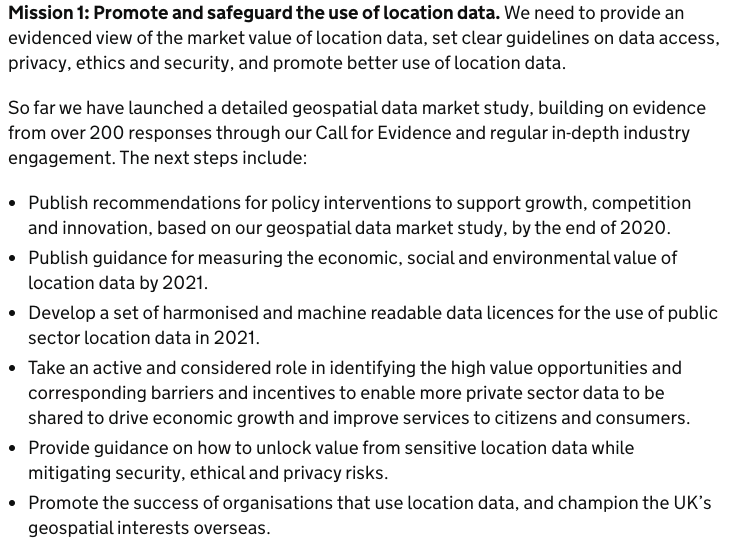
It is disappointing that the geospatial strategy has been released before the studies on how to measure the value of location data, or the market study that was only started recently. Surely these are essential inputs? 16/19 https://www.gov.uk/government/publications/unlocking-the-power-of-locationthe-uks-geospatial-strategy/unlocking-the-power-of-location-the-uks-geospatial-strategy-2020-to-2025
Also the strategy only acknowledges two revenue models for ensuring sustainable access to data. But there are many more. Choosing between them requires market evidence about cost and benefits, but also imagination and innovation in business models. 17/19 https://theodi.org/article/designing-sustainable-data-institutions-paper/
We highlighted two years ago that the Geospatial Commission would need both vision and power to wrestle the UK's data infrastructure into something fit for purpose. It's certainly had financial resources. I was hoping for something more than this. 18/19 https://theodi.org/article/ordnance-survey-and-other-data-stewards-must-innovate-to-keep-up-with-the-private-sector/
Overall, as @darkgreener has said, this is a strategy for the Geospatial Commission, not for the UK. Let's hope the National Data Strategy fills some of the gaps. 19/19 https://twitter.com/darkgreener/status/1272867456600748033

 Read on Twitter