[thread] Lets have some Saturday evening Edinburgh railway history...
Q: When was the first railway constructed in Edinburgh area?
A: The Innocent Railway (Edinburgh and Dalkeith Railway) in 1831 of course
BZZZT Wrong...
A: Edmonstone Waggonway 1818
/1
Q: When was the first railway constructed in Edinburgh area?
A: The Innocent Railway (Edinburgh and Dalkeith Railway) in 1831 of course
BZZZT Wrong...
A: Edmonstone Waggonway 1818
/1
The Edmonstone Waggonway, or Railway (also known as Newton Waggonway) ran from coal mines in Newton parish to Little France
https://edinrail.wordpress.com/category/edmonstone-waggonway/ /2
https://edinrail.wordpress.com/category/edmonstone-waggonway/ /2
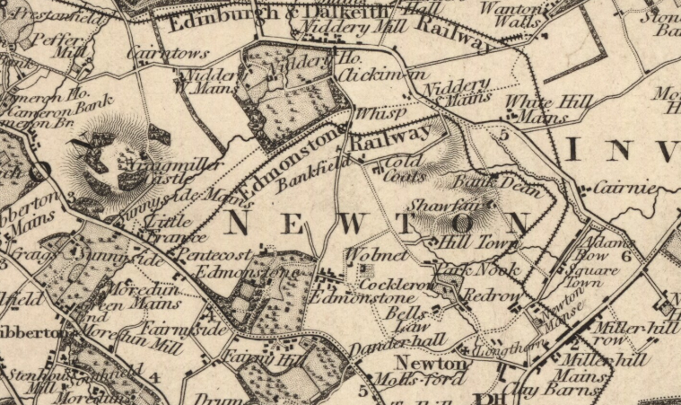
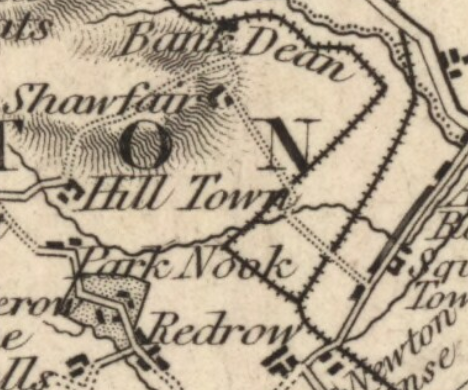
It is shown on the T. Sharp, C. Greenwood & W. Fowler, 1828 "Map of the county of Edinburgh"
https://maps.nls.uk/joins/612.html /3
https://maps.nls.uk/joins/612.html /3
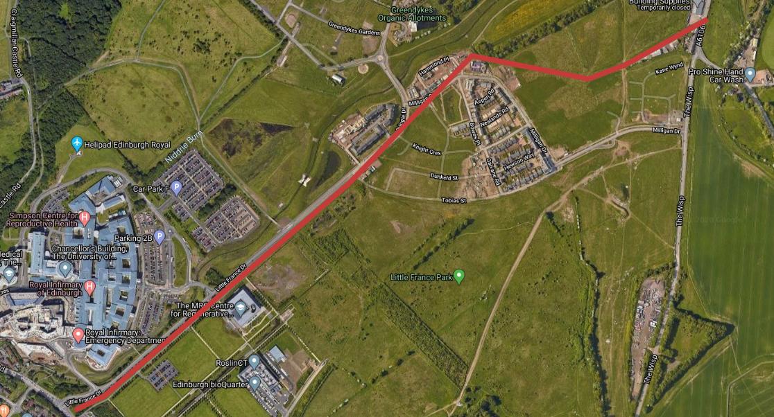
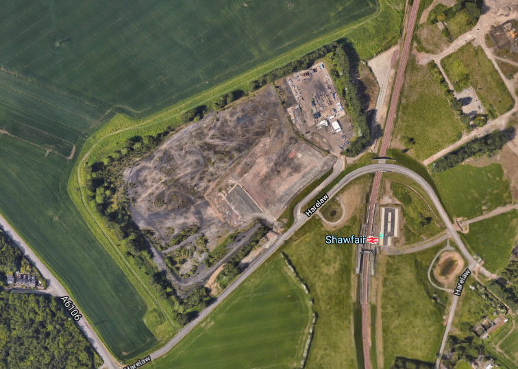
And @cocteautriplets superimposed that onto modern satellite imagery: https://twitter.com/cocteautriplets/status/1210592760715186176 /4
This is where it gets interesting... I've been meaning to tweet this all since 2017 when I stumbled upon some stains in some roadworks on Cauldcoats Road (back of the sheds at Fort Kinnaird, just off the back road from B&Q to The Wisp). It stirred a memory... /5
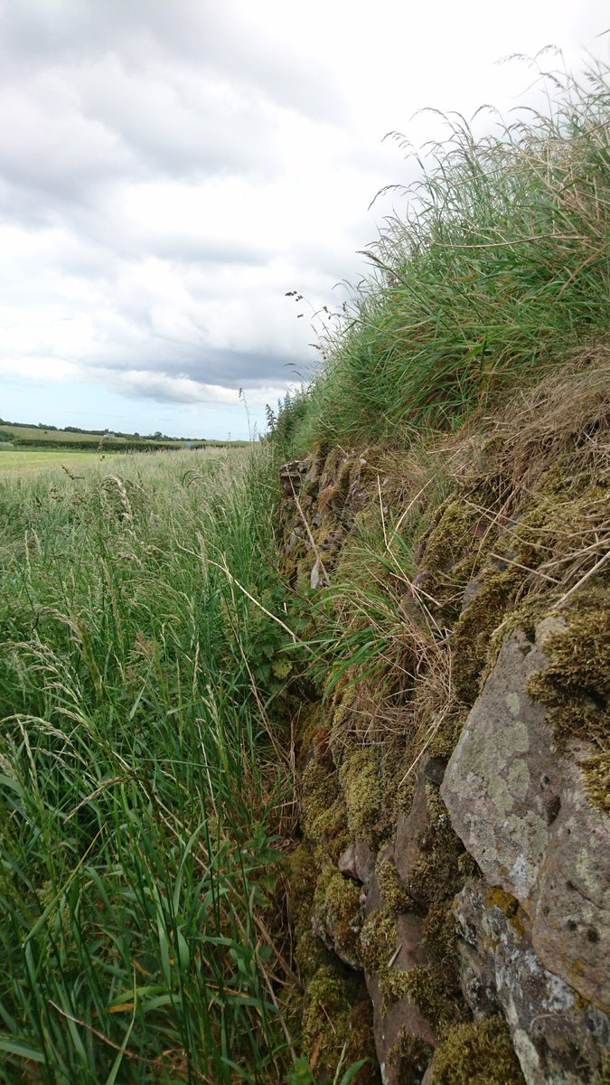
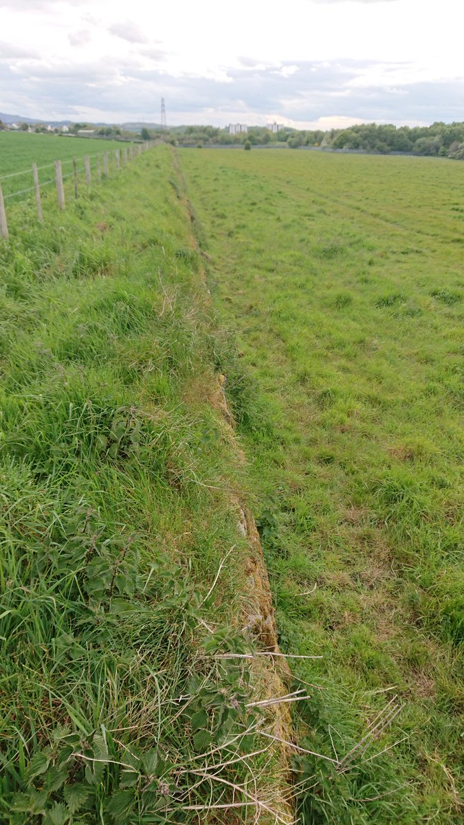
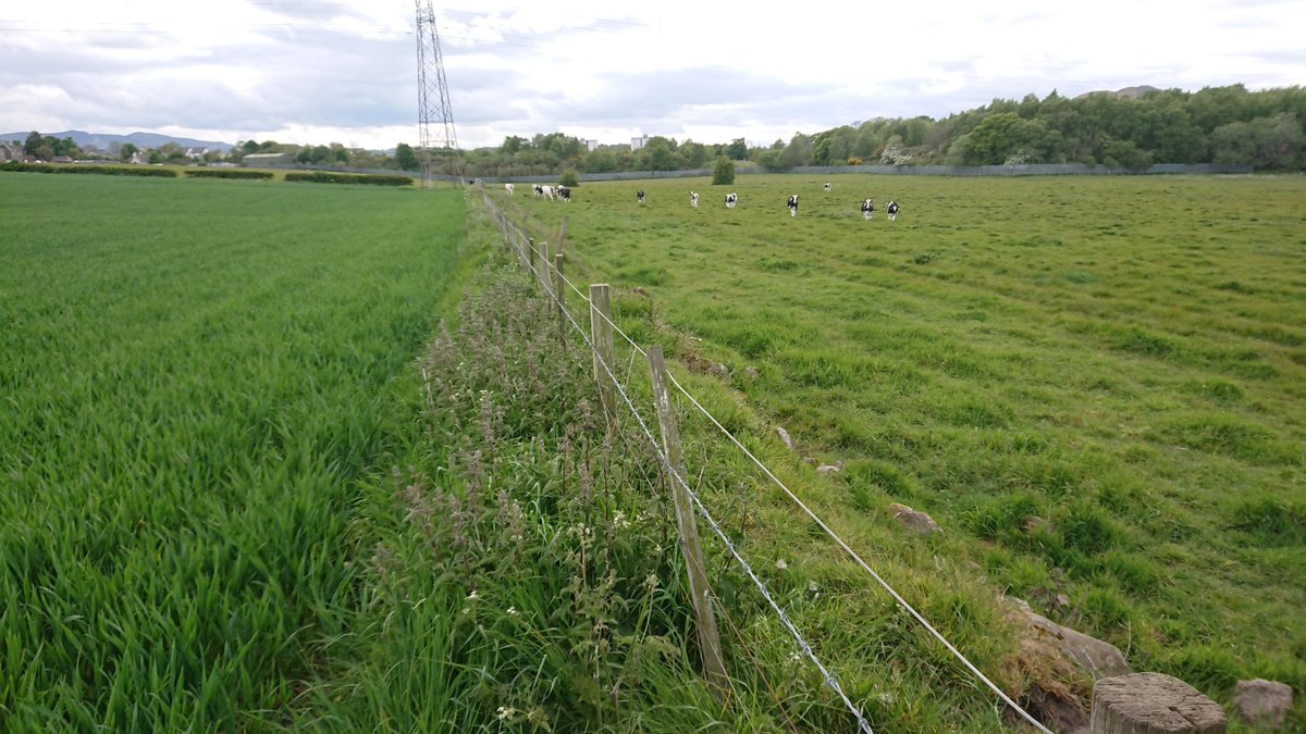
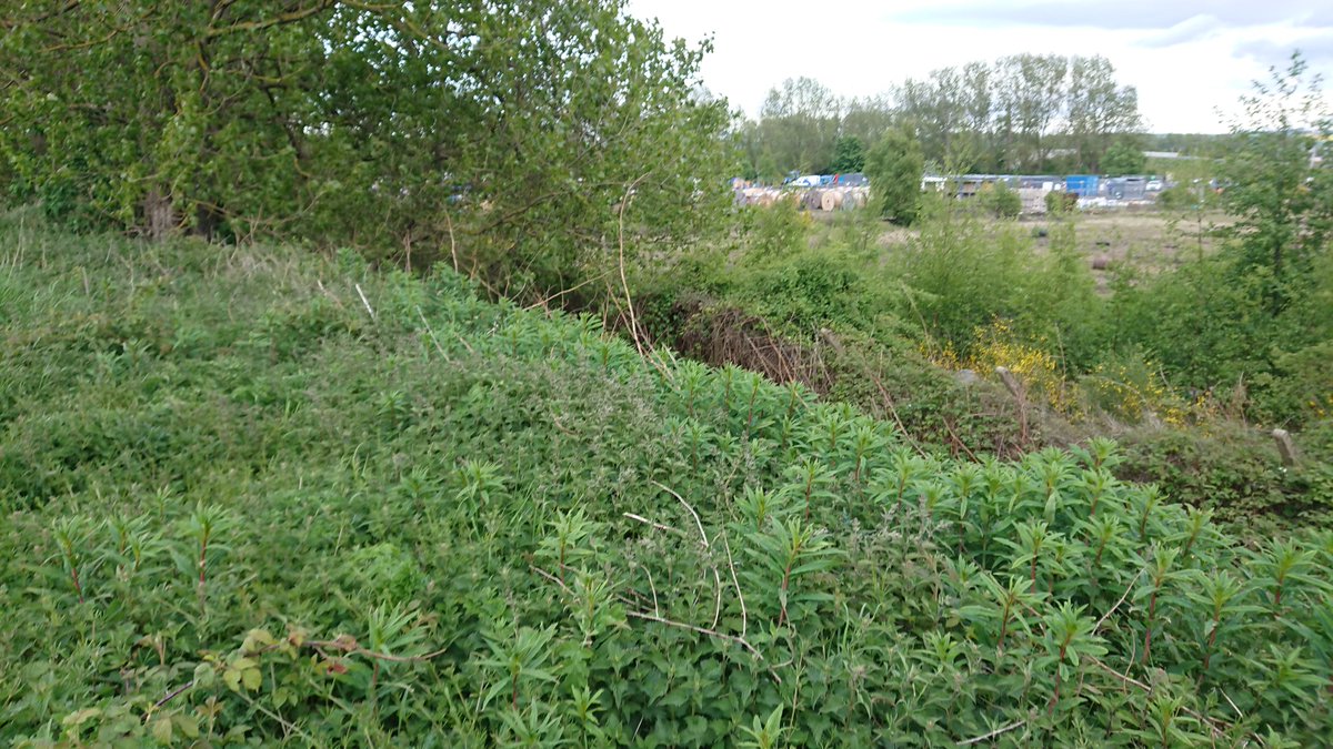
Maybes those are old rails, ... I don't know but it did get me hunting around the immediate area. Especially the field boundary. I think there's a reasonable probability that it is actually an embankment of the Edmonstone Waggonway /6
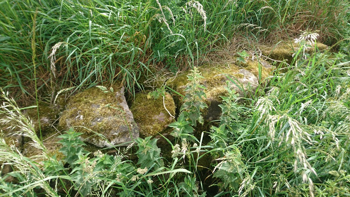
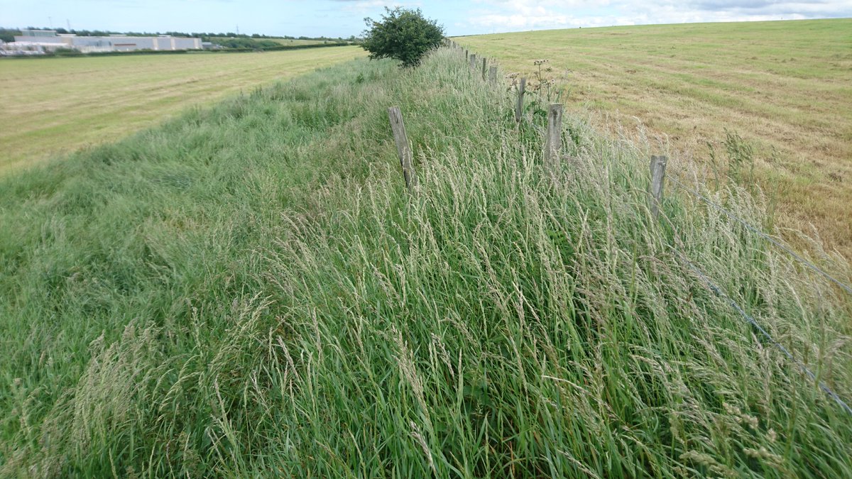
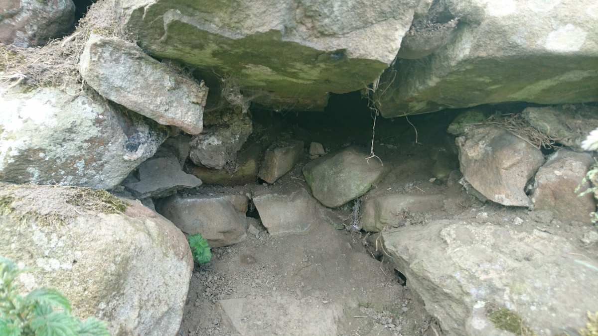
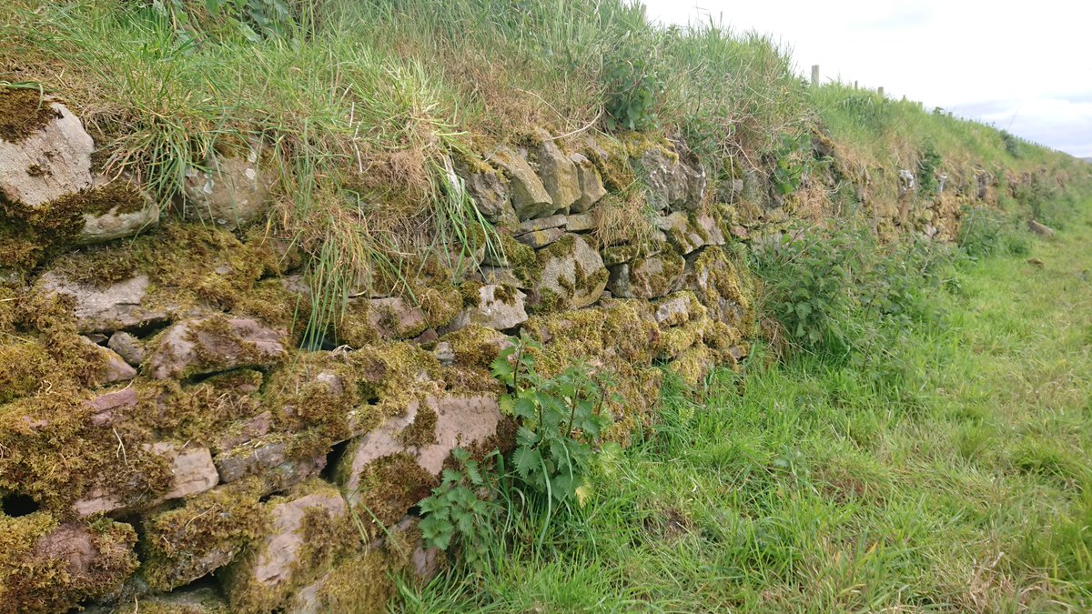
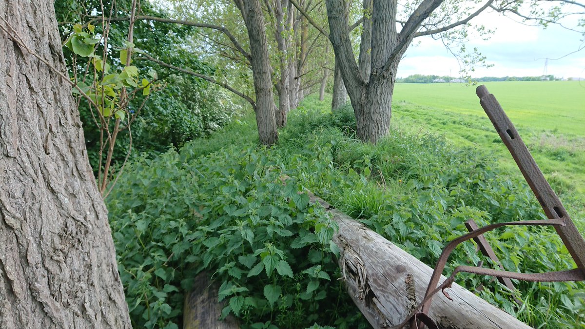
Some photos of the wall... It is very much keeping a level, rather than serving as a boundary - it's supported by stone walls on the east of the field, but levels off as you go west. Field walls don't do that... /7
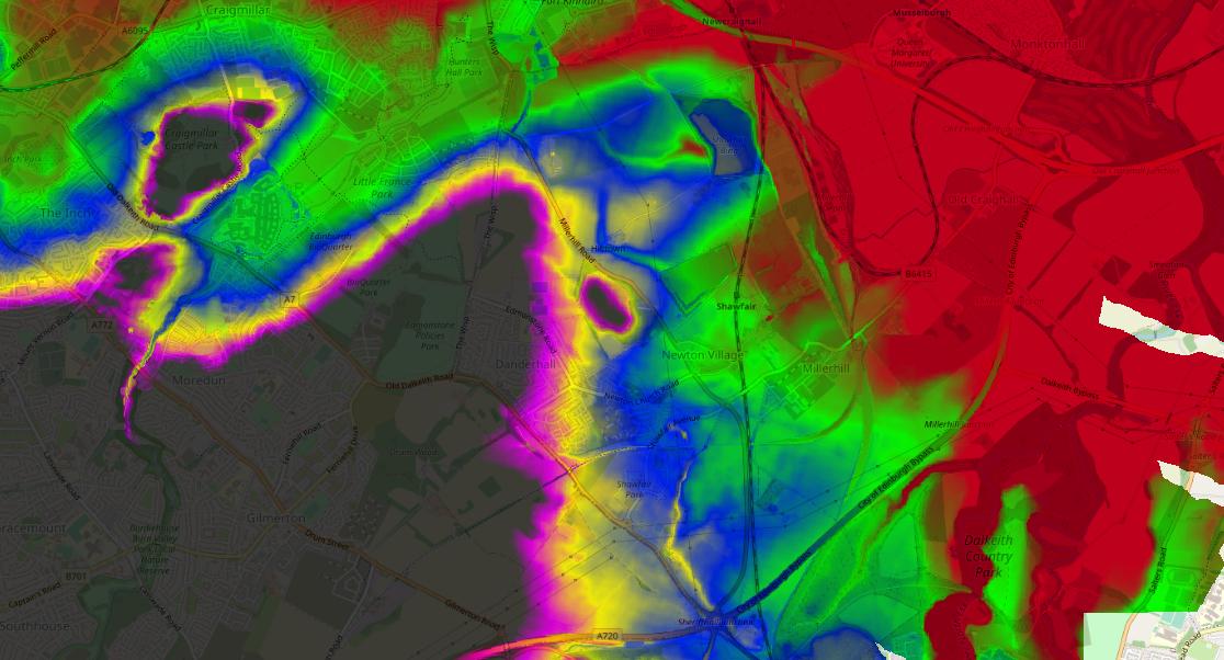
And looking at publicly available LIDAR digital terrain models I think it reinforces that it's an embankment trying to keep level across the slope - check out the hillshade (rotating round in 20deg steps) /10
And looking at the 50m contour in the wider area - very close to that map route...
And colouring by elevation (red 40m, green 50, blue 60, yellow 70, magenta 75, grey 80+) /11
And colouring by elevation (red 40m, green 50, blue 60, yellow 70, magenta 75, grey 80+) /11
This probable feature isn't in any of the Historic Environment Scotland databases @HistEnvScot, and wasn't picked up by the desktop archaeological survey submitted for the 14/00910/PPP residential planning application, approved by @midgov /12
But there is Condition 8 on the approval for further archaeological investigations... So, @midgov, @HistEnvScot - how do we get this feature investigated? /13
Some updates, a month later...
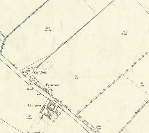
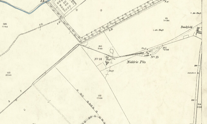
The Little France end of the Edmonstone Waggonway can be pinned down - it's on the 1895 OS 25" map no less
https://maps.nls.uk/view/82877610
The Little France end of the Edmonstone Waggonway can be pinned down - it's on the 1895 OS 25" map no less
https://maps.nls.uk/view/82877610
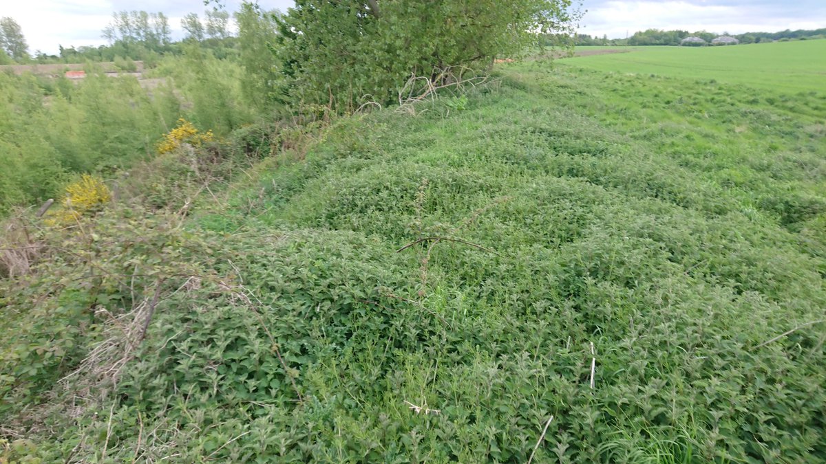
And had an exercise over the Cauldcoast field boundary today, much less overgrown than 3 years ago... 2m high at the highest point
(photos going from east to west)
(photos going from east to west)
Also went to the bit near Hilltown, where the route of the waggonway (on the https://maps.nls.uk/view/74400237 T. Sharp, C. Greenwood & W. Fowler, 1828 "Map of the county of Edinburgh") took a right angle
@threadreaderapp unroll

 Read on Twitter

